The best walks and hikes in O'Neill Regional Park
4.8
(37)
269
hikers
43
hikes
Hikes in O'Neill Regional Park explore a landscape of wooded canyons and rolling hillsides. The park is characterized by its groves of coast live oak and sycamore trees, with trails winding along the seasonal Trabuco and Hickey Creeks. The terrain offers a mix of shaded canyon floors and more exposed chaparral-covered slopes.
Best hiking trails in O'Neill Regional Park
- The most popular hiking route is Vista Point loop — O'Neill Regional Park, a 3.4 mile (5.5 km) trail that…
Last updated: May 27, 2026
847m
00:16
50m
0m
Easy hike. Great for any fitness level. Easily-accessible paths. Suitable for all skill levels.
3.5
(2)
9
hikers
5.48km
01:36
150m
150m
Easy hike. Great for any fitness level. Easily-accessible paths. Suitable for all skill levels.

Sign up for free
5.0
(4)
9
hikers
4.75km
01:23
120m
120m
Easy hike. Great for any fitness level. Easily-accessible paths. Suitable for all skill levels.
22
hikers
1.89km
00:29
0m
10m
Easy hike. Great for any fitness level. Easily-accessible paths. Suitable for all skill levels.
1
hikers
7.95km
02:11
140m
120m
Moderate hike. Good fitness required. Easily-accessible paths. Suitable for all skill levels.
Get access to more routes and recommendations from other explorers.
Sign up for free
Already have an account?
Our route recommendations are based on thousands of hikes, rides, and runs completed by other people on komoot.
Start today with a free account
Your next adventure awaits.
Login or Signup

Tips from the Community

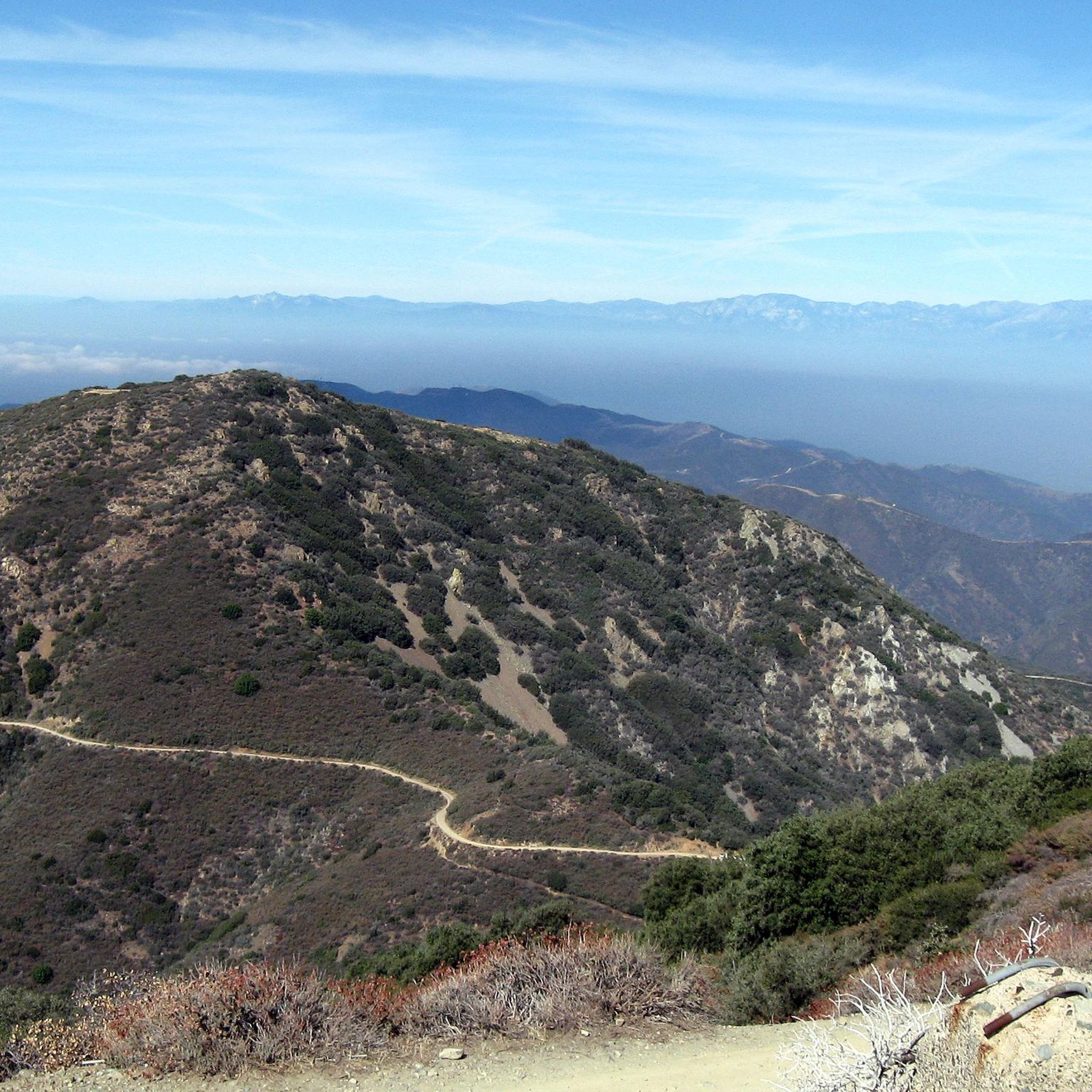
The trail is a paved two lane road through the woods and campsites open for foot traffic. There are restrooms along the middle of the trail. The Hoffman Homestead Trail takes you on a slightly longer dirt doubletrack route which parallels the Live Oak Canyon Trail.
0
0
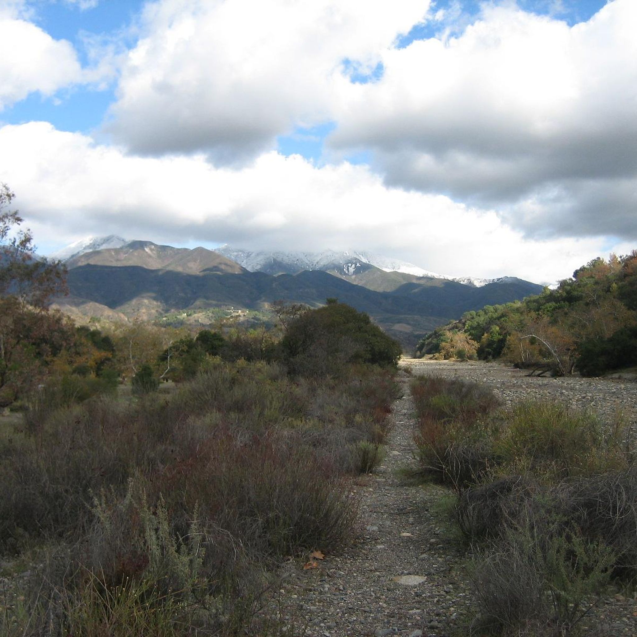
From here you get beautiful sweeping panoramic views out toward Portola Hills, Upper Oso Reservoir, and Santiago Peak. There are picnic tables and benches and the trail is quite accessible.
0
0
From here you get beautiful sweeping panoramic views out toward Portola Hills, Upper Oso Reservoir, and Santiago Peak. There are picnic tables and benches and the trail is quite accessible.
0
0
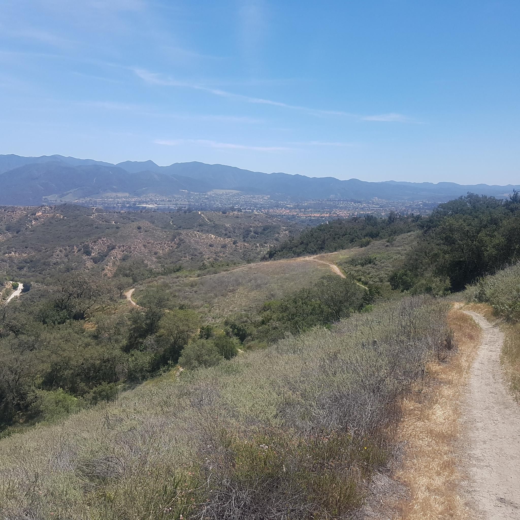
You can explore a variety of singletrack and wide gravel paths through the park. Some trails are shaded while others take you out above the canyon with vistas of Orange County. There are restrooms, picnic tables, and camping available. The park charges a $3 fee.
0
0

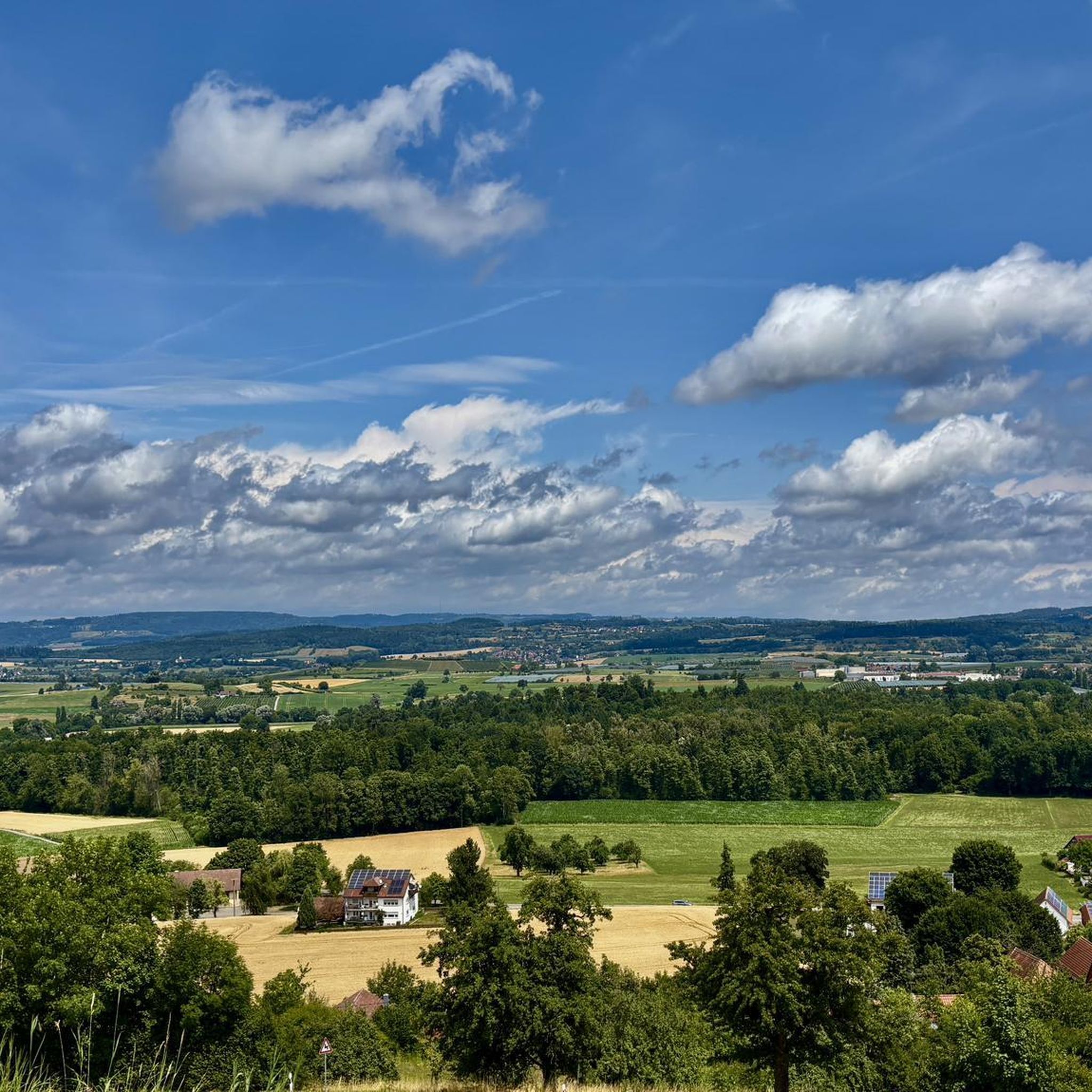
Easy 90 minutes trail from parking to Vista Peak Point.
0
0
Frequently Asked Questions
Are dogs allowed on the trails in O'Neill Regional Park?
Yes, dogs are welcome in O'Neill Regional Park, but they must be kept on a leash no longer than six feet at all times. They are permitted on paved roads and in the campground and picnic areas, but are not allowed on the hiking trails or in the backcountry to protect wildlife and for their own safety.
Are there any easy, family-friendly hikes in the park?
Absolutely. The park offers several gentle trails perfect for families and beginners. A great option is the Tijeras Creek loop — Rancho Santa Margarita, which is a relatively flat 2.5-mile (4 km) walk that's enjoyable for all ages. The park also features a Nature Center, open on weekends, and a tot lot for younger children.
How do I get to O'Neill Regional Park and where can I park?
The main entrance to O'Neill Regional Park is located at 30892 Trabuco Canyon Road in Trabuco Canyon. There is a day-use parking fee required for entry. Once inside, you'll find several parking lots available near the main picnic areas, campgrounds, and trailheads.
What is the best time of year to hike in O'Neill Regional Park?
Hiking is possible year-round, but the most pleasant seasons are fall, winter, and spring when temperatures are cooler. Spring is particularly beautiful as the hillsides are often covered in wildflowers and the seasonal Trabuco and Hickey Creeks may be flowing. Summer can be very hot, so if you hike then, it's best to go early in the morning.
Are there any challenging hikes with significant elevation gain?
Yes, for experienced hikers looking for a strenuous challenge, the trek to Los Pinos Peak — Cleveland National Forest starts near the park and offers a demanding workout. This 14.5-mile (23.4 km) route involves over 3,700 feet (1,135 m) of elevation gain, rewarding you with expansive views.
What kind of wildlife might I see in the park?
The park is a rich habitat for various animals. It's common to see mule deer, squirrels, and a wide variety of bird species. However, be aware that you are in a wilderness area. Mountain lions and rattlesnakes are native to the region, so always stay alert on trails. Poison oak is also prevalent, so it's wise to stay on designated paths.
Do trails close after it rains?
Yes, to prevent erosion and for visitor safety, the park's natural surface trails are typically closed for at least three days following significant rainfall. It's always a good idea to check the official park website or call ahead for current trail conditions before you visit. You can find official updates on the O'Neill Regional Park page.
Can I go camping in O'Neill Regional Park?
Yes, the park has a large campground suitable for both tents and RVs, making it a popular spot for an overnight stay. The campsites are equipped with picnic tables and fire rings. Reservations are highly recommended, especially for weekends and holidays, and can be made through the OC Parks reservation system.
What do other hikers say about the trails in O'Neill Regional Park?
The trails in this area are highly regarded by the komoot community, earning an average rating of 4.8 out of 5 stars. Hikers frequently praise the beautiful oak woodlands, the mix of shaded canyon paths and sunny hillside trails, and the well-maintained network that offers something for every skill level.
Are there any good trails for running?
Many of the park's trails are suitable for trail running. The Vista Point loop is a popular choice, offering a good 3.4-mile (5.5 km) run with some moderate hills to get your heart rate up. The wider, flatter sections along the creek beds are also great for a less technical run.
How many hiking trails are there in the park?
O'Neill Regional Park features over 23 miles of trails. On komoot, you can explore more than 25 different hiking routes that wind through the park's canyons and hills, ranging from easy strolls to difficult treks.
Are there any circular hikes available?
Yes, many of the best hikes in the park are loops. For a longer, more varied circular route, consider the Vista Point loop from Live Oak Trail. This 5.6-mile (9.1 km) moderate hike combines two of the park's signature trails, taking you through shaded oak groves and up to scenic viewpoints.
Most popular routes in O'Neill Regional Park

Get inspired with the komoot mobile app


Explore more
Browse the best Hikes in other regions.
