The best walks and hikes in Quail Hill Open Space Preserve
4.8
(199)
1,902
hikers
140
hikes
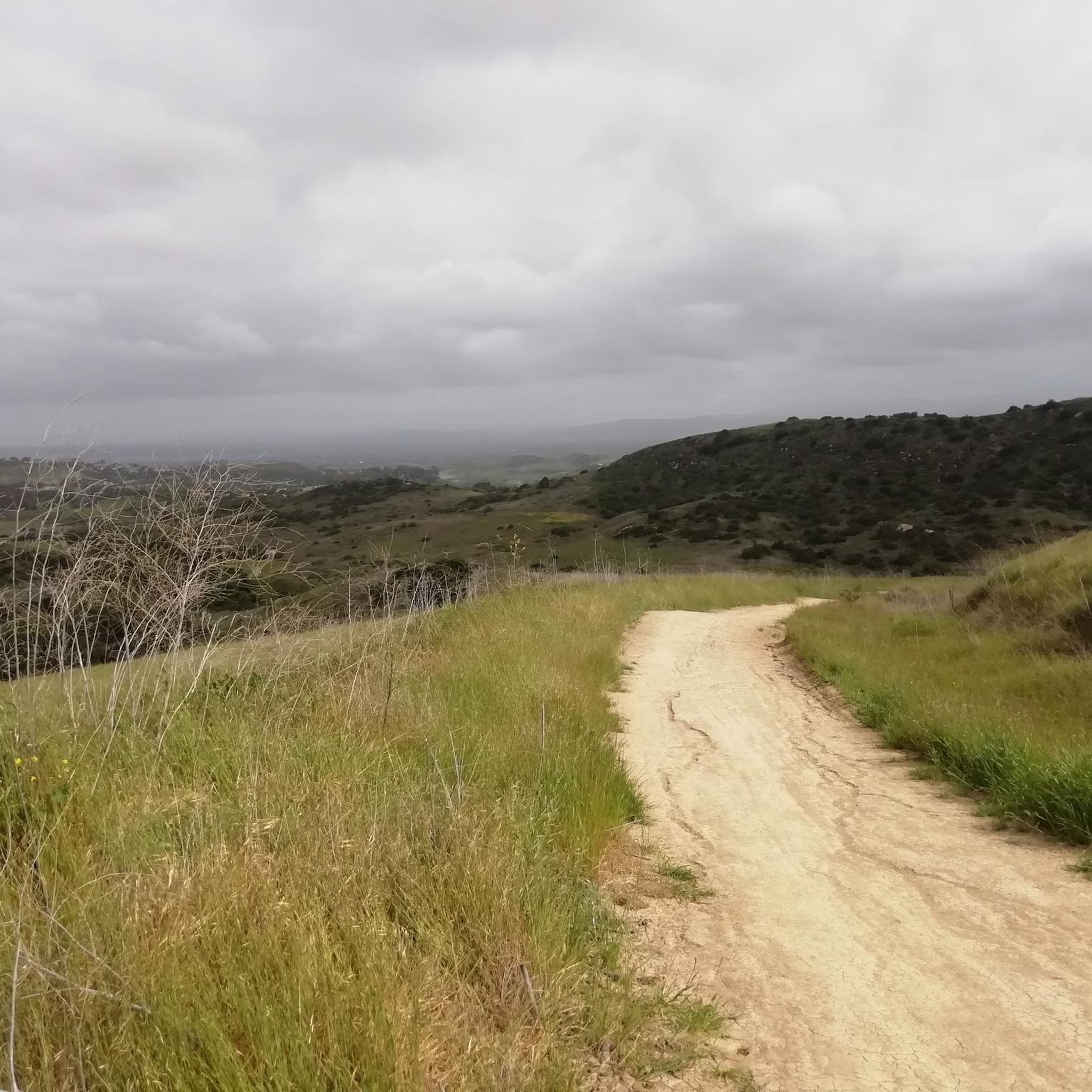
Hikes in Quail Hill Open Space Preserve explore a network of trails through rolling hills and native grasslands in Orange County. The preserve is characterized by its open coastal sage scrub habitat and serves as a gateway to the larger Irvine Open Space Preserve. The terrain consists of wide dirt paths with modest inclines, connecting to more challenging routes in the adjacent Shady Canyon and Bommer Canyon.
Best hiking trails in Quail Hill Open Space Preserve
- The most popular hiking route is Quail Hill Loop Trail — Quail Hill Open Space, a 1.8 mile (2.9 km) trail that takes around 45 minutes to complete. This is a well-maintained dirt path with a gentle incline suitable for all skill levels.
- Another top favourite among local hiking enthusiasts is Serrano Ridge to Fox Run via Quail Trail — Shady Canyon Open Space Preserve, a moderate 8.3 mile (13.4 km) path. The route involves more significant elevation gain and offers expansive views from the ridge.
- Local hiking enthusiasts also love the Bommer Canyon via Shady Canyon Trail — Quail Hill Open Space, a 7.9 mile (12.7 km) trail leading through the adjacent canyons, often completed in about 3 hours 30 minutes.
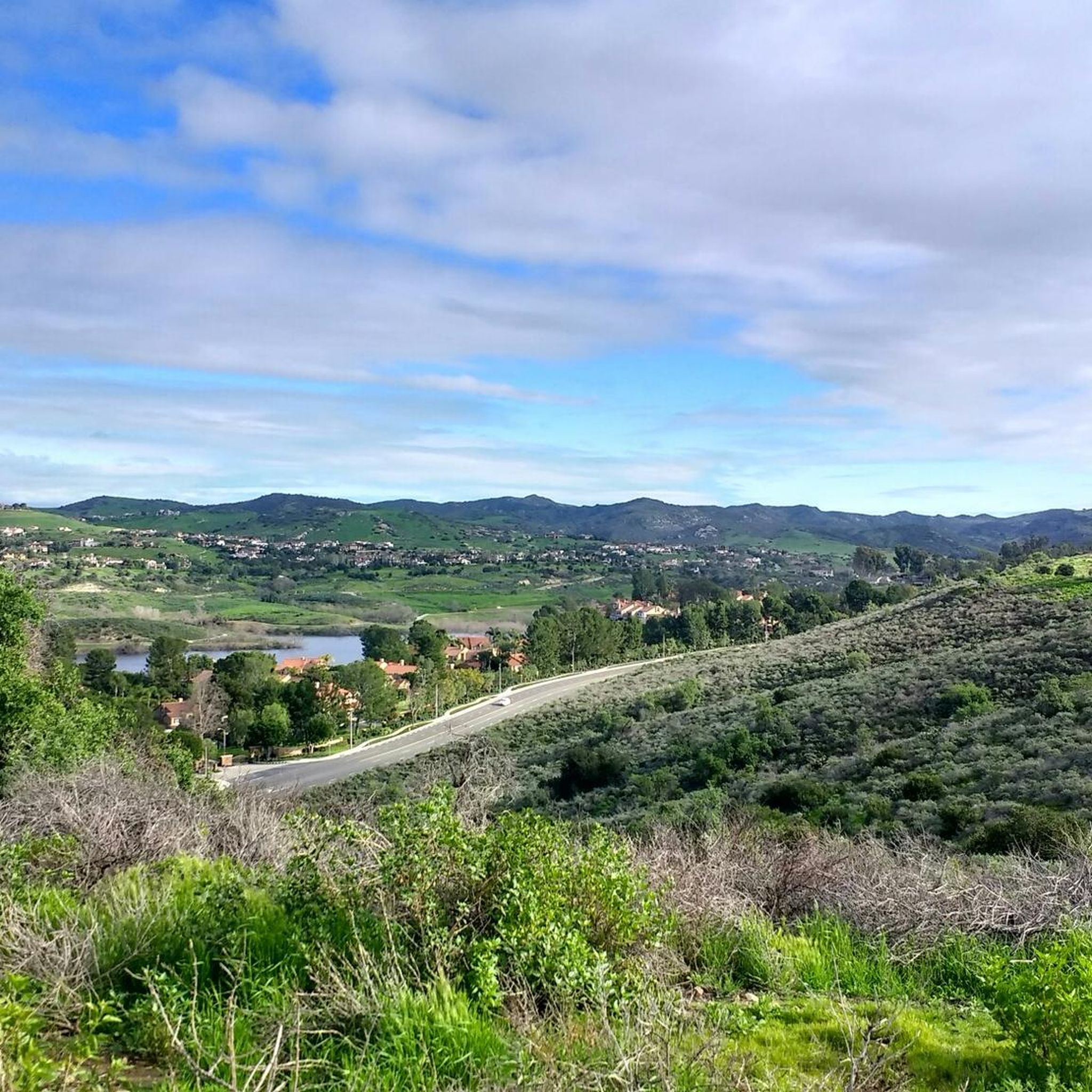
- Hiking in Quail Hill Open Space Preserve is defined by rolling hills, wide open spaces, and views across the city of Irvine. The trail network provides both short, accessible loops and longer routes connecting to the Shady Canyon and Bommer Canyon areas.
- The routes in Quail Hill Open Space Preserve are highly rated by the komoot community with an average score of 4.8 stars from over 170 reviews. More than 1,600 hikers have used komoot to explore Quail Hill Open Space Preserve's varied terrain.
Last updated: May 12, 2026
5.0
(1)
9
hikers
16.7km
04:38
340m
240m
Moderate hike. Good fitness required. Easily-accessible paths. Suitable for all skill levels.
7.19km
01:51
20m
70m
Easy hike. Great for any fitness level. Easily-accessible paths. Suitable for all skill levels.

Sign up for free
29.3km
07:53
370m
380m
Hard hike. Very good fitness required. Easily-accessible paths. Suitable for all skill levels.
5.0
(2)
40
hikers
2.90km
00:47
40m
40m
Easy hike. Great for any fitness level. Easily-accessible paths. Suitable for all skill levels.
4.3
(3)
9
hikers
13.4km
03:51
320m
320m
Moderate hike. Good fitness required. Easily-accessible paths. Suitable for all skill levels.
Get access to more routes and recommendations from other explorers.
Sign up for free
Already have an account?
Our route recommendations are based on thousands of hikes, rides, and runs completed by other people on komoot.
Start today with a free account
Your next adventure awaits.
Login or Signup

Tips from the Community

Enjoy the peaceful scenery of the wetlands, with its native plants, diverse birdlife, and seasonal wildflowers. The terrain is mostly flat and easy to navigate, making it suitable for riders of all ages and abilities.
0
0

Serrano Ridge Trail offers 360 degree views as you walk across the top of the ridge. In the east you can see the peaks of the San Mateo Wilderness, and in the west is the entirety of Shady Canyon Open Space Preserve.
0
0

Also simply called Mason Regional Park, this green area holds several trails, plentiful shade trees, picnic areas and large turf fields, plus a softball backstop, sand volleyball courts, a fitness trail, several tot lot playgrounds, and even a small lake. Entry costs $3 per vehicle Monday-Friday, and $5/vehicle on Saturday and Sunday.
0
0

This viewpoint on the Serrano Ridge Trail certainly rewards you for climbing up the hill! Look to the west where you will see the Shady Canyon Open Space Preserve and to the east is the Veeh Creek Open Space. This trail is a mixture of double track and single track so wider tyres are recommended.
1
0

Shady Canyon Trail is a mixed use bike and pedestrian path adjacent to the luxurious Shady Canyon neighborhood. Entirely paved and very well-kept, it is often busy with pedestrians, so ride with care and courtesy.
1
0
Quail Hill Open Space is jammed pack (depending on the season) with all types of wildflowers, lupines, owl’s clover, milkweed and poppy, add hues of purple and orange!
0
0
There is a short path from the parking lot that takes you to the Quail Hill viewpoint. The view is still fairly lowland, but you can see the entirety of the open space with mountains off in the hazy distance.
0
0
Quail Trail starts off with a short steep gradient as you make your way through a meadow of flowers and an abundance of quail (depending on the season of course)! Dogs are welcome, but must be leashed.
0
0
Frequently Asked Questions
Are dogs allowed on the trails at Quail Hill?
Yes, dogs are welcome at Quail Hill Open Space Preserve but they must be kept on a leash at all times. The trails are popular with dog walkers, so it's important to be considerate of other hikers and wildlife.
Is Quail Hill a good place for a family hike?
Absolutely. The preserve is very family-friendly, especially the Quail Hill Loop Trail. It's a relatively flat, wide dirt path that's manageable for children and even suitable for rugged jogger strollers. For added fun, there's a self-guided audio tour accessible by cell phone that explains the area's nature and history.
Where can I park to access the trails?
Free parking is available at the main Quail Hill Trailhead, located at 34 Shady Canyon Drive in Irvine. This lot provides direct access to the trails. It's a popular spot, so arriving earlier in the day is a good idea to secure a space, especially on weekends.
Are there any longer or more challenging hikes starting from Quail Hill?
Yes, the trailhead is a gateway to more strenuous routes. For a longer, moderate hike with rewarding views, consider the Serrano Ridge to Fox Run via Quail Trail. This route takes you into the adjacent Shady Canyon Open Space Preserve and involves more significant elevation gain.
What kind of wildlife might I see at Quail Hill?
The preserve is a 'hot spot' for biodiversity. Keep an eye out for birds like quail, roadrunners, and red-tailed hawks. You might also spot mule deer, cottontail rabbits, and western fence lizards. While less common, bobcats also inhabit the area. Be aware that rattlesnakes are present, so it's always wise to stay on designated trails.
What are the best viewpoints in the preserve?
The Vista Point along the main loop offers fantastic panoramic views of Irvine and Saddleback Mountain. For even more expansive scenery, taking a longer trail like the Quail Trail – View from Serrano Ridge loop from Quail Hill will reward you with views that can stretch to the Pacific Ocean on a clear day.
Can I hike from Quail Hill to Bommer Canyon?
Yes, you can connect to Bommer Canyon from the Quail Hill trail system. The Bommer Canyon via Shady Canyon Trail is a popular moderate route of about 7.9 miles (12.7 km) that connects the preserves, offering a great way to extend your hike and explore the neighboring canyon.
Are there restrooms available near the trails?
There are no restrooms directly on the trails themselves. However, public facilities, along with picnic areas and a playground, are available at the nearby Quail Hill Community Park, which is located adjacent to the trailhead parking area.
What is the best time of year to see wildflowers?
Spring is the most spectacular time to visit for wildflowers. After the winter rains, the hillsides often burst into color, most notably with vibrant yellow black mustard blooms, creating a beautiful landscape for hiking and photography.
Are the trails open after it rains?
No, the trails within the Irvine Open Space Preserve, including Quail Hill, typically close for at least 48 hours following any significant rainfall. This is to prevent trail damage and ensure visitor safety on muddy and slippery surfaces. Always check the official Irvine Ranch Natural Landmarks website for current trail status before you go.
Are there any easy, circular walks in the preserve?
Yes, there are several easy loops. Besides the main Quail Hill Loop, the Shady Canyon Trail loop from Quail Hill is another great option. It's a bit longer at around 3.2 miles (5.2 km) but remains relatively flat and easy, offering a different perspective of the area.
How many hiking trails are in Quail Hill Open Space Preserve?
There are over 90 different hiking routes to explore in and around Quail Hill Open Space Preserve. These range from short, easy loops perfect for beginners to more challenging trails that connect to the greater Irvine Open Space Preserve network.
What do other hikers say about the trails at Quail Hill?
The area is highly rated by the komoot community, with an average score of 4.8 stars. Reviewers often praise the well-maintained paths, the beautiful rolling hills, and the expansive views over the city of Irvine. The accessibility for all skill levels is also a frequently mentioned highlight.
Most popular routes in Quail Hill Open Space Preserve

Get inspired with the komoot mobile app


Explore more
Browse the best Hikes in other regions.
