The best running trails in Shady Canyon Open Space Preserve
4.7
(40)
4,050
runners
321
runs
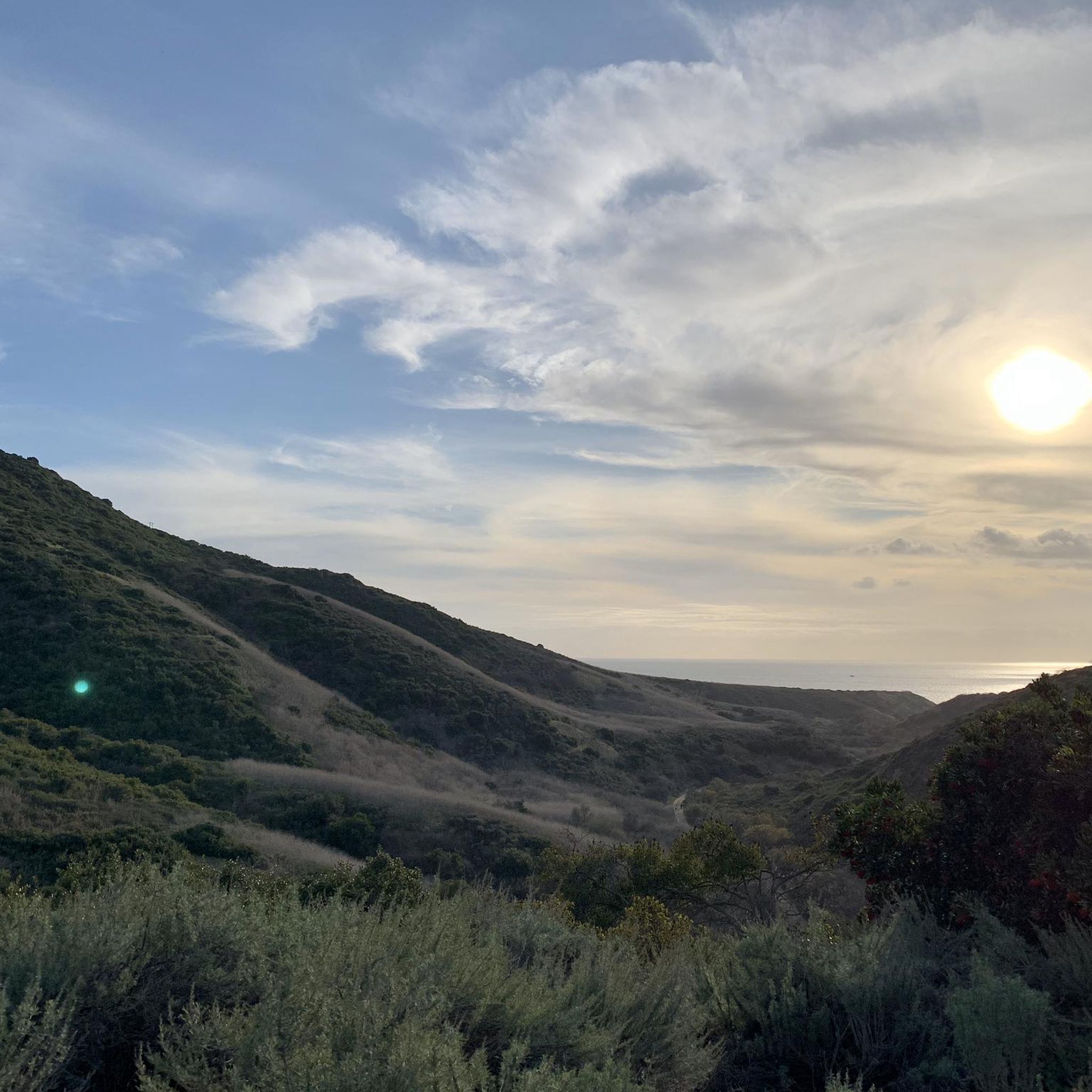
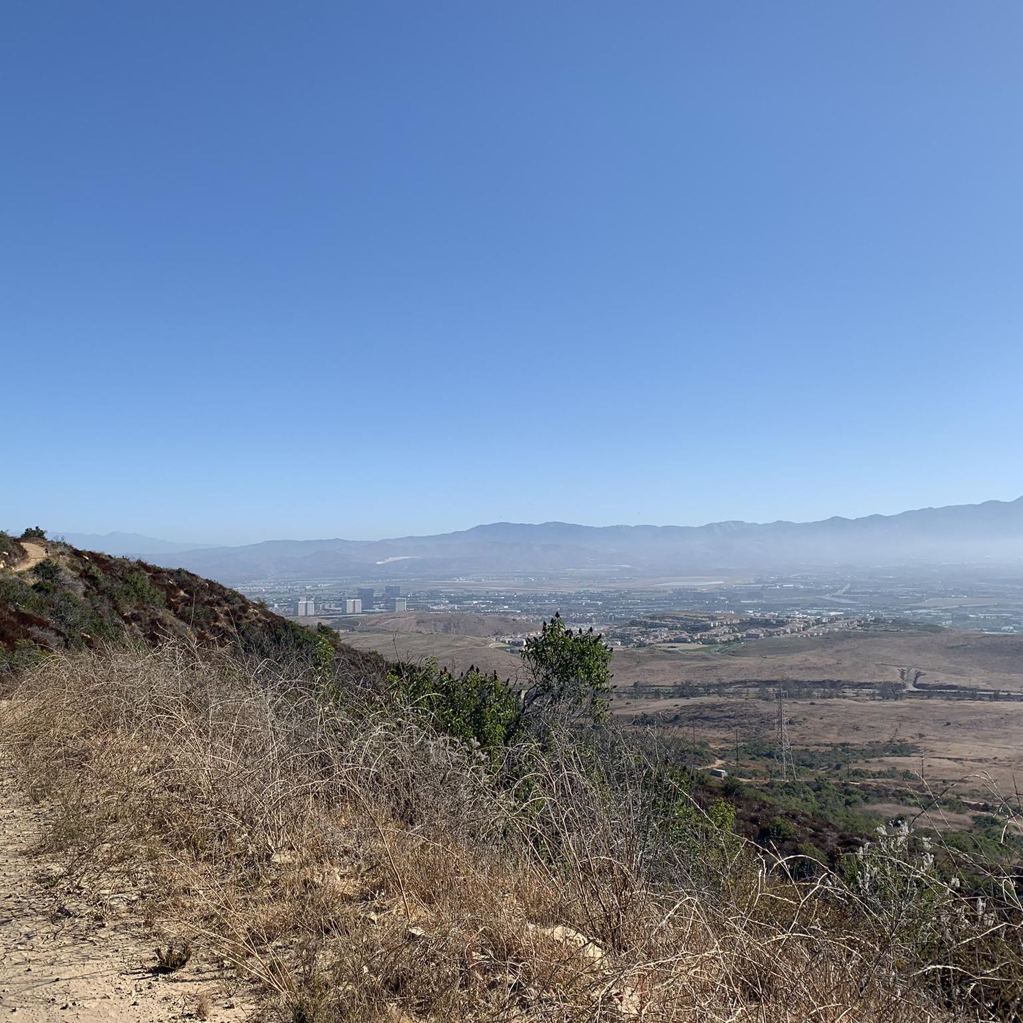
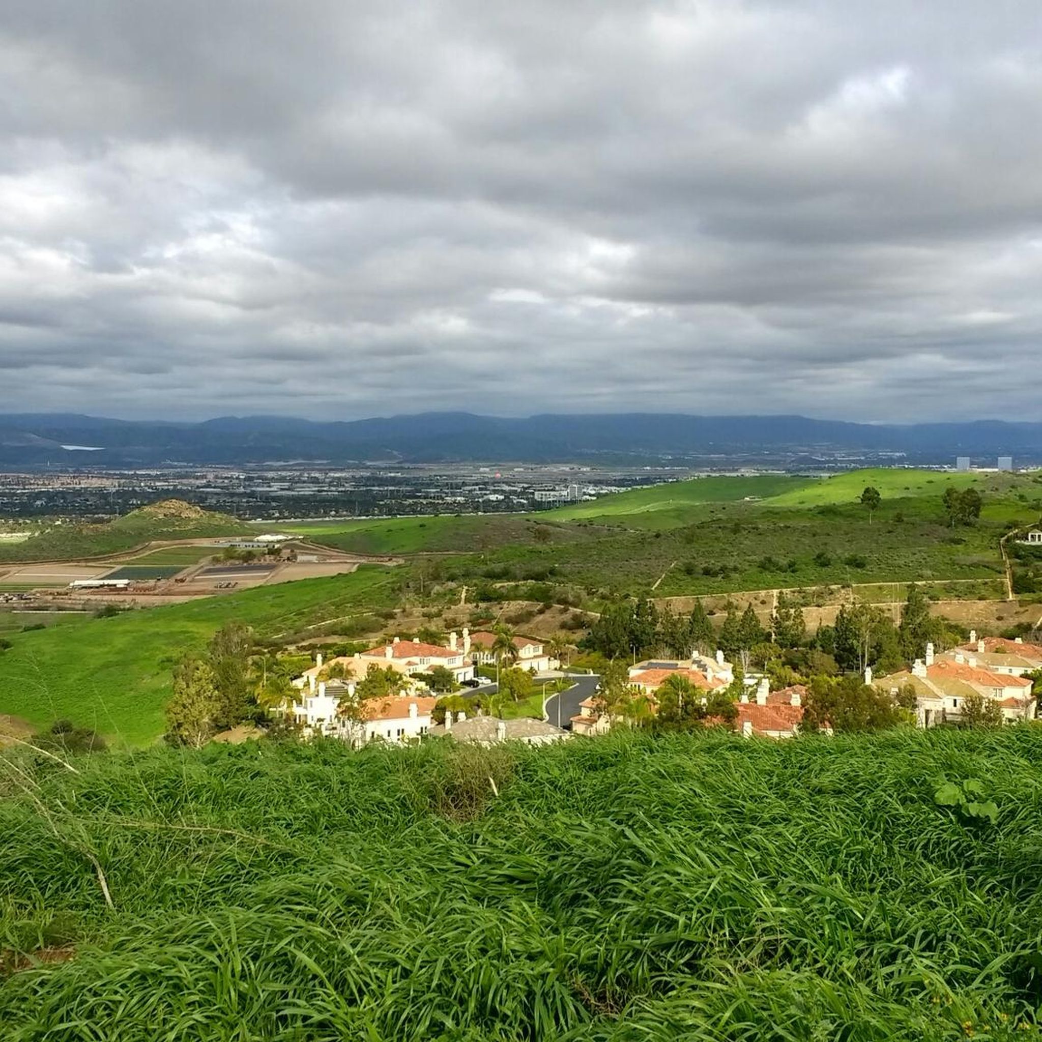
Jogging routes in Shady Canyon Open Space Preserve traverse a landscape characterized by rolling hills, canyons, and native grasslands. The preserve features pristine coastal sage scrub and oak woodlands, offering varied terrain for running. This environment provides a diverse setting for different fitness levels, from gentle paths to more challenging ascents. The area is part of a larger network of protected lands, recognized for its biologically diverse ecosystems.
Best jogging routes in Shady Canyon Open Space Preserve
- The most popular jogging route is Quail Trail – Serrano Ridge Trail loop from Quail Hill, a 5.8 miles (9.3 km) trail that takes 1 hour 11 minutes to complete. This route offers scenic views across rolling hills.
- Another top favourite among local runners is Crystal Cove double loop, a difficult 12.4 miles (19.9 km) path. This route features diverse ecosystems including coastal sage scrub.
- Local runners also love the Bommer Canyon and Turtle Ridge Loop, a 6.3 miles (10.1 km) trail leading through canyons and oak woodlands, often completed in about 1 hour 15 minutes.
- Jogging in Shady Canyon Open Space Preserve is defined by rolling hills, canyons, and native grasslands. The network offers options for different ability levels, from moderate paths to more difficult running routes.
- The routes in Shady Canyon Open Space Preserve are highly rated by the komoot community with an average score of 4.6 stars from more than 30 reviews. More than 3,500 runners have used komoot to explore Shady Canyon Open Space Preserve's varied terrain.
Last updated: May 19, 2026
15
runners
9.35km
01:12
210m
210m
Moderate run. Good fitness required. Mostly paved surfaces. Suitable for all skill levels.
98
runners
19.9km
02:31
570m
570m
Hard run. Very good fitness required. Mostly paved surfaces. Suitable for all skill levels.

Sign up for free
25
runners
10.1km
01:16
280m
280m
Moderate run. Good fitness required. Mostly paved surfaces. Suitable for all skill levels.
20
runners
11.4km
01:23
290m
290m
Moderate run. Good fitness required. Mostly paved surfaces. Suitable for all skill levels.
19
runners
12.4km
01:33
300m
300m
Hard run. Very good fitness required. Mostly paved surfaces. Suitable for all skill levels.
Get access to more routes and recommendations from other explorers.
Sign up for free
Already have an account?
Our route recommendations are based on thousands of hikes, rides, and runs completed by other people on komoot.
Start today with a free account
Your next adventure awaits.
Login or Signup

Tips from the Community

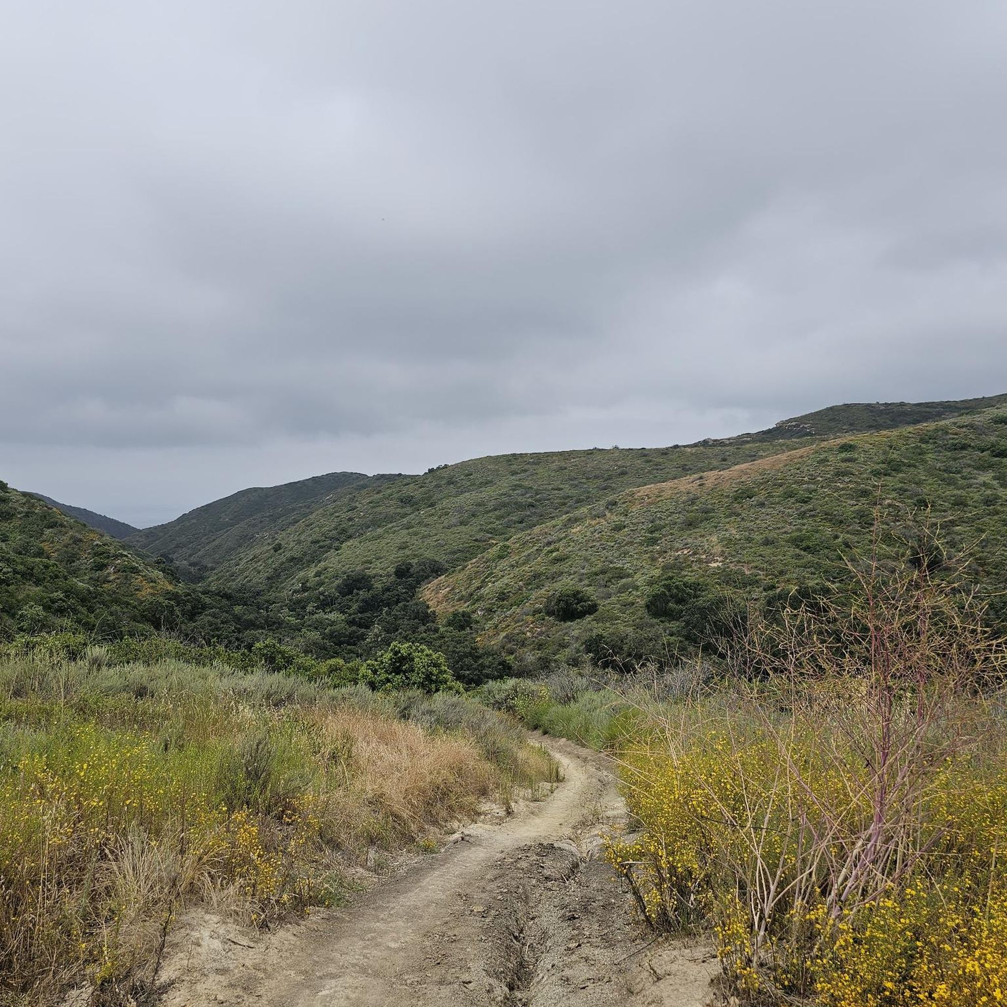
The trail is a wide packed dirt path that stay follows the base of Moro Canyon from Bommer Ridge down to the coast. There are a bunch of other side trails to other ridges and canyons in the park. This section of the trail is shaded as you run through the trees.
0
0
The trail is wide packed dirt and takes you through the meadows and rolling hills. This is the backbone of the Shady Canyon trail system and connects to a number of other trails and routes in the park.
0
0

Quail Trail starts off with a short steep gradient as you make your way through a meadow of flowers and an abundance of quail (depending on the season of course)!
0
0
Turtle Ridge in the spring allows you to see wildflowers such as, Indian paintbrush, Johnny jump-ups, mariposa lilies, and buttercups.
0
0
The trail is a nice easy packed dirt path with enough space to pass hikers. The trail winds its way through the meadow with little shade and is representative of the other trails in Bommer Canyon.
0
0
Being that these trails are essentially dirt roads in a very dry environment, when it rains, they can get washed out and washboarded. Not an issue for running, but it can make the trails a little more technical.
0
0
This is a great singletrack alternative to the Bommer Ridge Trail if you are looking for a little more excitement. You can follow this all the way west to the Red Trail if you like.
0
0
This trail places you at the top of Crystal Cove State Park with expansive views of all the protected land and ocean off in the distance.
0
0
Frequently Asked Questions
How many running routes are available in Shady Canyon Open Space Preserve?
Shady Canyon Open Space Preserve offers a wide selection of running routes, with over 300 tours available on komoot. These routes cater to various fitness levels, from easy paths to more challenging trails.
What kind of terrain can I expect on the jogging trails in Shady Canyon Open Space Preserve?
The preserve features diverse terrain, including rolling hills, canyons, and native grasslands. You'll encounter pristine coastal sage scrub and oak woodlands, with options ranging from relatively flat sections to routes with steep climbs and descents. The Shady Canyon Trail itself is known for its scenic beauty and varied ecosystem.
Are there any easy or beginner-friendly jogging routes in Shady Canyon Open Space Preserve?
Yes, Shady Canyon Open Space Preserve has routes suitable for beginners. There are 23 easy routes available, offering a gentler introduction to the preserve's natural beauty. Many trails feature wide, packed dirt sections ideal for a comfortable run.
What are some notable landmarks or natural features to look out for while running?
While jogging, you can look for the prominent sandstone formation known as Three Sisters Rock, located at the intersection of Shady Oaks, Butterfly Valley, and Monkey Flower Mesa trails. The preserve also boasts some of the most pristine coastal sage scrub and oak woodlands in the Irvine Ranch Preserve, offering beautiful natural scenery.
Can I connect to other natural areas from Shady Canyon Open Space Preserve for longer runs?
Absolutely. Shady Canyon seamlessly connects to other natural areas such as Bommer Canyon Preserve and Laguna Coast Wilderness Park. This allows for expanded routes and diverse scenery if you're looking for a longer or more varied running experience.
What do other runners enjoy most about jogging in Shady Canyon Open Space Preserve?
The area is highly rated by the komoot community, with an average score of 4.6 stars from over 30 reviews. Runners often praise the diverse landscapes, well-maintained trail system, and the opportunity to experience a serene escape with varied terrain. Many appreciate the scenic views of Irvine's landscape and the surrounding hills.
Are there any challenging running routes for experienced joggers?
Yes, for those seeking a challenge, Shady Canyon Open Space Preserve offers 77 difficult routes. An example is the Crystal Cove double loop, a 12.4-mile path featuring diverse ecosystems and more demanding sections. Another challenging option is the Bommer Ridge and Laurel Canyon Loop, also around 12.4 miles.
What kind of wildlife might I see while running in the preserve?
While jogging, you might encounter native wildlife such as brush rabbits, red-tailed hawks, gopher snakes, southern Pacific rattlesnakes, darkling beetles, and turkey vultures. Chipmunks, squirrels, and various native birds are also commonly seen, adding to the natural experience.
Are there any loop running trails in Shady Canyon Open Space Preserve?
Yes, many of the running routes in Shady Canyon Open Space Preserve are loops. A popular moderate loop is the Quail Trail – Serrano Ridge Trail loop from Quail Hill, which is 5.8 miles long. Another great option is the Bommer Canyon and Turtle Ridge Loop, covering 6.3 miles.
What is the typical duration for a running route in Shady Canyon Open Space Preserve?
Running durations vary depending on the route and your pace. For example, the moderate Quail Trail – Serrano Ridge Trail loop from Quail Hill typically takes about 1 hour and 11 minutes. Longer, more difficult routes like the Crystal Cove double loop can take over 2.5 hours.
Are there any moderate-difficulty running routes that offer good views?
Many moderate routes provide excellent views. The Quail Trail – Serrano Ridge Trail loop from Quail Hill is a popular 5.8-mile moderate route known for its scenic views across rolling hills. Another moderate option is the Moro Canyon and Pacific Ridge Loop, which is about 11.4 miles long.
Most popular routes in Shady Canyon Open Space Preserve

Get inspired with the komoot mobile app


Explore more
Browse the best Running Trails & Routes in other regions.
