The best walks and hikes in Bommer Canyon Open Space Preserve
4.8
(295)
3,419
hikers
220
hikes
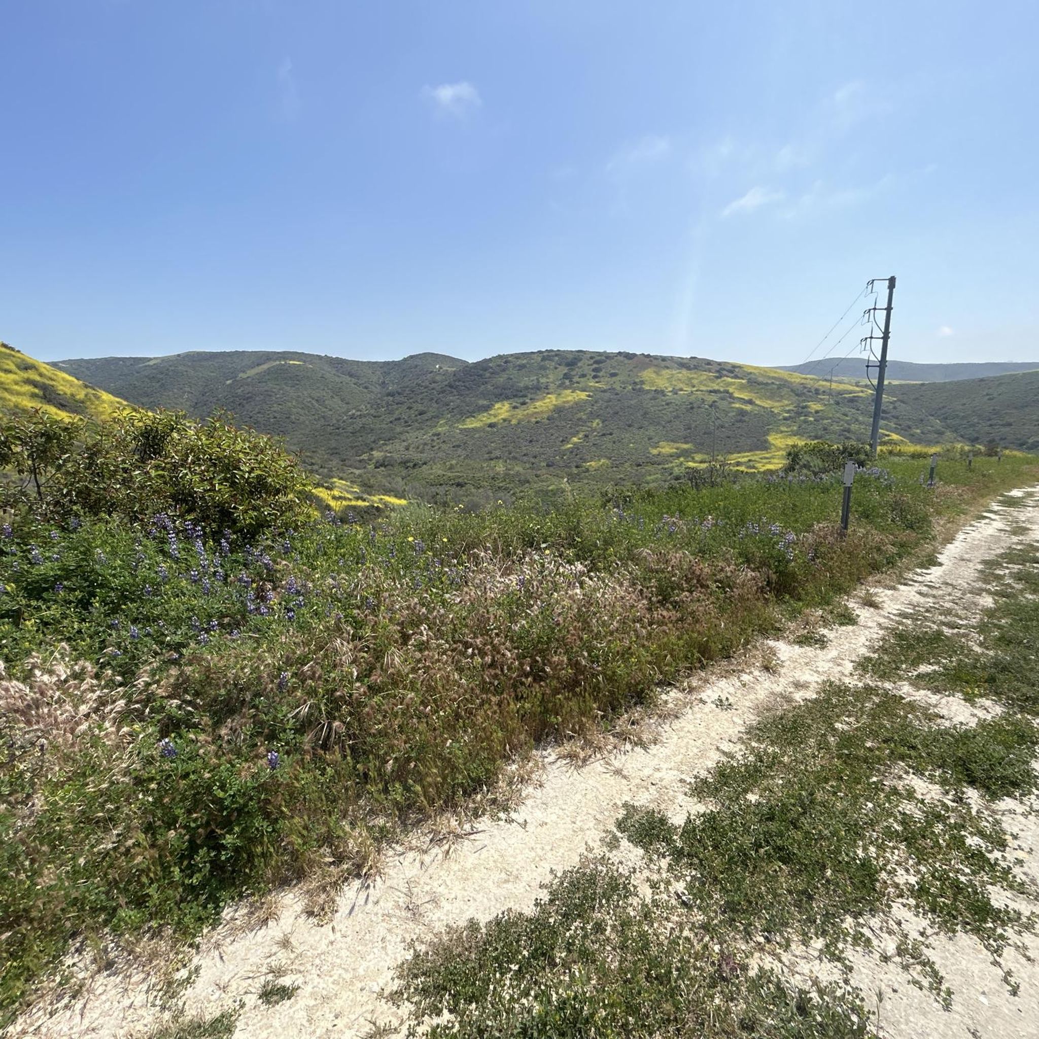
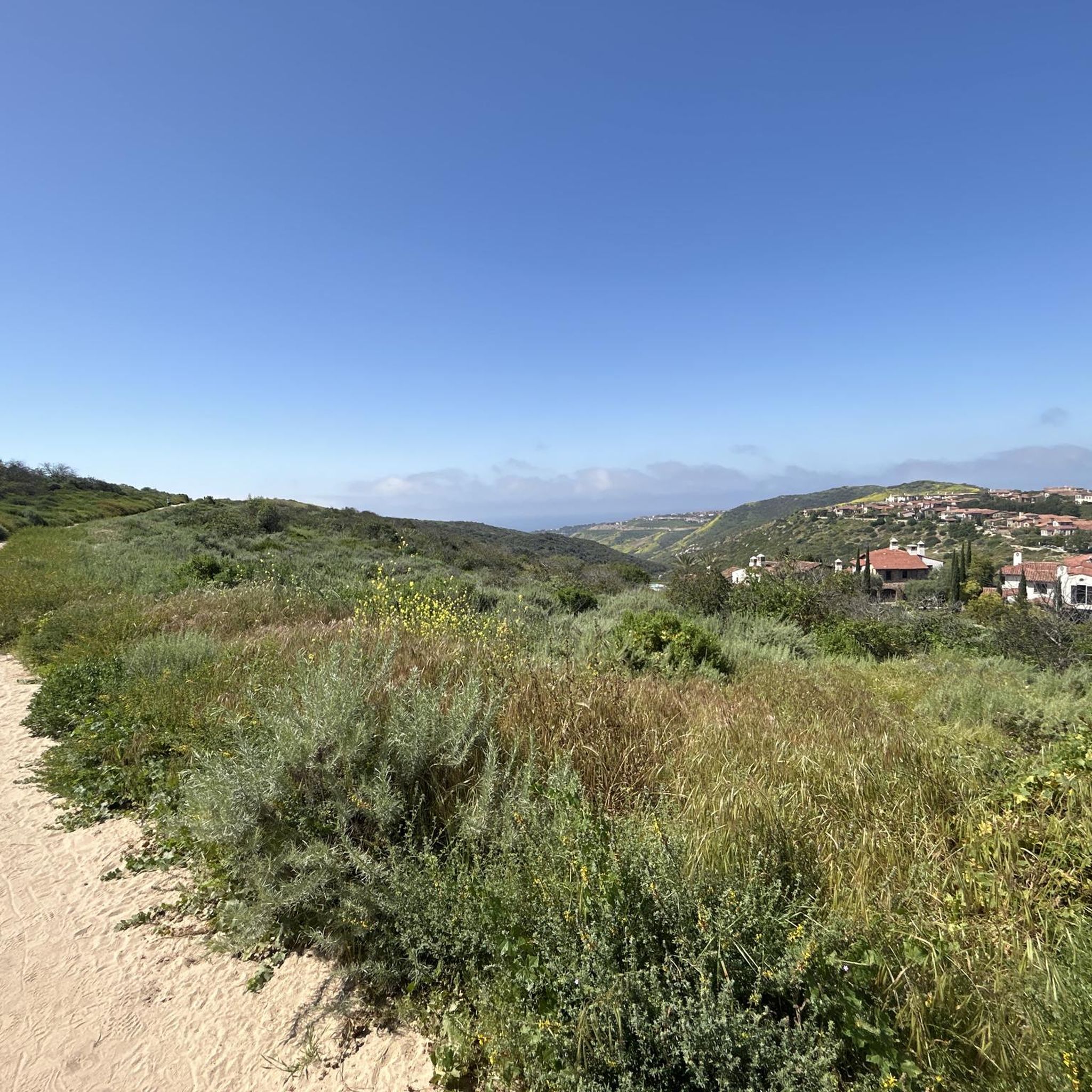
Hikes in Bommer Canyon Open Space Preserve explore a protected natural area in Irvine, once part of a historic cattle ranch. The landscape is composed of rolling hills covered in native grasslands and coastal sage scrub. Trails wind through shady oak and sycamore groves and past rugged rock outcrops, offering a variety of scenery.
Best hiking trails in Bommer Canyon Open Space Preserve
- The most popular hiking route is Turtle Ridge Trail to Bommer Meadow loop — Bommer Canyon Open…
Last updated: July 22, 2026
5.0
(2)
44
hikers
13.9km
04:00
330m
340m
Hike the moderate 8.6-mile No Name Ridge and El Moro Canyon Loop for diverse canyon and ridge scenery with ocean views.
3.8
(4)
35
hikers
5.79km
01:40
140m
150m
Embark on an easy hike through varied terrain on the Pacific Ridge, Ticketron, Deer Canyon, Red Tail and Bommer Ridge Loop. This route takes you along wide fire roads and…

Sign up for free
4.5
(2)
28
hikers
12.6km
03:45
340m
470m
Moderate 7.9-mile hike in Crystal Cove State Park with 1114 feet of gain, offering panoramic ocean views from Moro Ridge Spur.
5.0
(2)
18
hikers
6.01km
01:43
130m
150m
Embark on an easy hike along the Bommer Ridge, Lizard, and Laurel Canyon Loop, a 3.7-mile (6.0 km) route that offers diverse scenery. You will gain 424 feet (129 metres)…
7
hikers
15.7km
04:31
360m
360m
Hike the moderate 9.8-mile Bommer Ridge, Laguna Ridge, Laurel Canyon and Lizard Trail Loop for ocean views and diverse terrain.
Get access to more routes and recommendations from other explorers.
Sign up for free
Already have an account?
Our route recommendations are based on thousands of hikes, rides, and runs completed by other people on komoot.
Start today with a free account
Your next adventure awaits.
Login or Signup

Tips from the Community

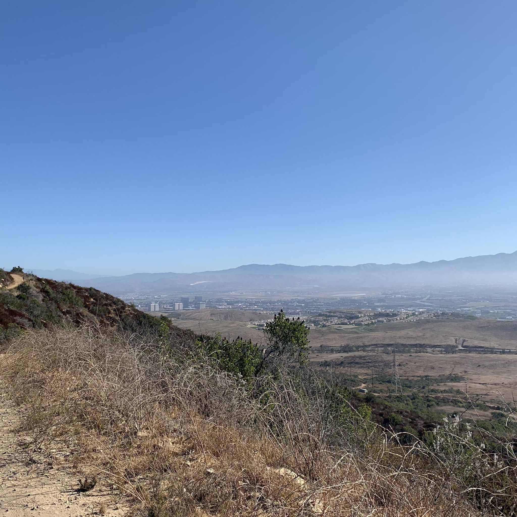
This 7,000-acre park includes some of the last protected coastal canyons in southern California. All told it has more than 40 miles of trails that traverse oak and sycamore woodlands, dusty but scenic ridgelines, and rocky bluffs.
0
0

This trail is fast and nontechnical, and you get great views across the rolling hills of Crystal Cove State Park all the way down to the ocean. Hikers and dog-walkers share these trails but the path is fairly wide and visibility is good.
1
0

Dive into the natural splendor of Laguna Coast Wilderness Park, nestled within the last coastal canyons of Southern California. Traverse forty miles of trails winding through oak and sycamore woodlands, elevating you to ridges with breathtaking vistas. Feel the thrill as rocky bluffs stand sentinel over canyon trails, creating an unparalleled experience while immersed in the park's captivating scenery.
0
0

There is a great view of the Crystal Cove State Marine Conservation Area from the Moro Ridge Spur trail. If you are looking for a photo op, mornings are better due to sun conditions!
0
0

A beautiful trail within Laguna Coast Wilderness Park leads you into Laurel Canyon. If the weather is not too dry you might even enjoy a small waterfall along the trail. You can hike a loop combining the Laurel Canyon Trail with Willow Canyon Road.
2
0
Frequently Asked Questions
Are dogs allowed in Bommer Canyon?
No, dogs are not permitted within the Bommer Canyon Open Space Preserve. This policy is in place to protect the area's sensitive habitats and diverse wildlife, which includes endangered species like the California gnatcatcher.
Are there any easy, family-friendly trails in the preserve?
Yes, Bommer Canyon offers several gentle, mostly flat trails suitable for families and beginners. The area around the historic Cattle Camp features mellow, winding paths that are great for a leisurely stroll. These routes often cross small bridges and pass through scenic oak and sycamore groves.
What are the parking options for Bommer Canyon?
There are several trailheads with parking areas. The main Bommer Canyon Trail Head on Shady Canyon Trail is a popular starting point with facilities. Another option is the Bommer Vista Trailhead, which provides access to trails with excellent views over Irvine. Arriving early is recommended, especially on weekends, as parking can fill up.
How do I access the trails in Bommer Canyon?
Access varies by trail. Some trails, particularly around the main Cattle Camp area, are open daily from dawn to dusk for self-guided hiking. However, large parts of the preserve are accessible only during scheduled Wilderness Access Days or through docent-led guided programs. It's best to check the official Irvine Ranch Conservancy or City of Irvine websites for the latest access information and schedules.
What kind of scenery can I expect on the trails?
The scenery is classic Southern California landscape. You'll hike through rolling hills covered in coastal sage scrub and native grasslands. The canyons feature beautiful, shady groves of ancient oaks and sycamores, especially along creek beds. As you gain elevation, you're rewarded with panoramic views of the Santa Ana Mountains and, on clear days, the Pacific Ocean.
Are there any challenging hikes with significant elevation gain?
Absolutely. For a more strenuous workout with rewarding views, consider the Laurel Canyon loop via Bommer Ridge Trail. This 6.9-mile (11.2 km) route involves a good amount of climbing up to the ridge, offering expansive vistas before descending back into the canyon.
What do other hikers say about the trails in Bommer Canyon?
The preserve is highly regarded by the komoot community, with an average rating of 4.8 stars. Hikers frequently praise the well-maintained trails, the beautiful mix of shady canyons and sunny ridges, and the stunning panoramic views from the higher elevations. The sense of being in a remote natural space so close to the city is a common highlight.
How many hiking trails are available in the area?
There are over 160 different routes to explore in and around the Bommer Canyon Open Space Preserve. These range from short, easy walks to challenging, all-day treks, with a good balance between moderate and easy trails.
Can I go mountain biking or horseback riding in Bommer Canyon?
Yes, many of the trails in Bommer Canyon are multi-use and open to both mountain bikers and equestrians. However, access rules can vary, and some trails may be designated for hikers only. Always check trail signage at the trailhead for the most current permitted uses.
What should I bring for a hike in Bommer Canyon?
It's essential to bring plenty of water, as many trails are exposed and can get very hot. Sun protection, including a hat, sunglasses, and sunscreen, is a must. Wear sturdy hiking shoes with good grip. While some trails are short, packing a snack is always a good idea. A trail map or using a navigation app like komoot is also highly recommended.
Is there a good option for a circular hike?
Yes, there are many excellent loop trails. A great moderate option is the East Fork Trail to Ridge Route loop. This 4.9-mile (7.8 km) hike takes you along the canyon floor before climbing to an exposed ridge with wide-open views, providing a varied experience in a single outing.
What is the history of Bommer Canyon?
The canyon has a rich history as the former headquarters for the Irvine Ranch's cattle operations. As you hike, you can still see remnants of its ranching past. The area is now a permanently protected open space and a designated National Natural Landmark, preserving both its natural beauty and its cultural heritage.
Most popular routes in Bommer Canyon Open Space Preserve

Get inspired with the komoot mobile app


Explore more
Browse the best Hikes in other regions.
