The best walks and hikes in Anza-Borrego Desert State Park
4.7
(160)
2,061
hikers
66
hikes
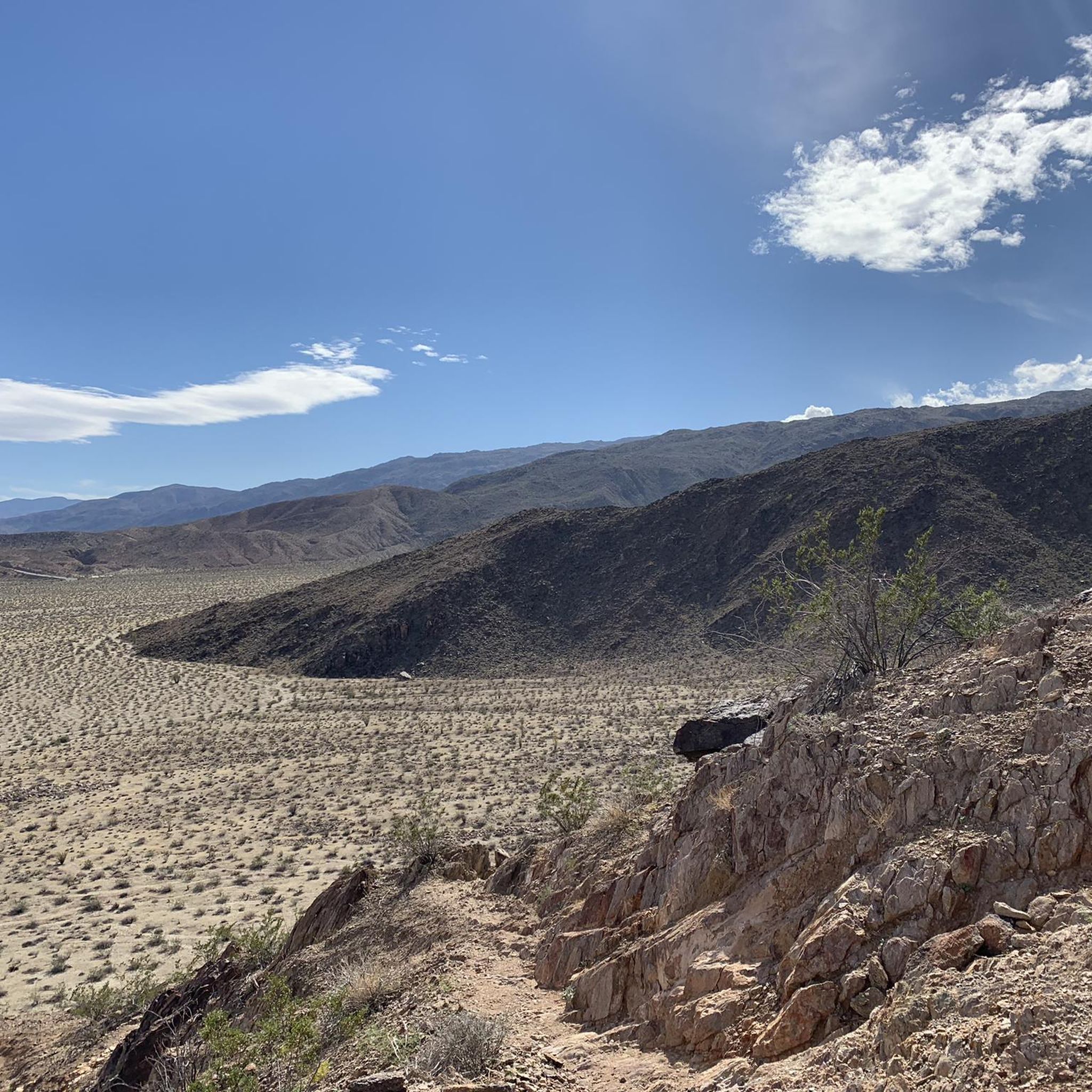
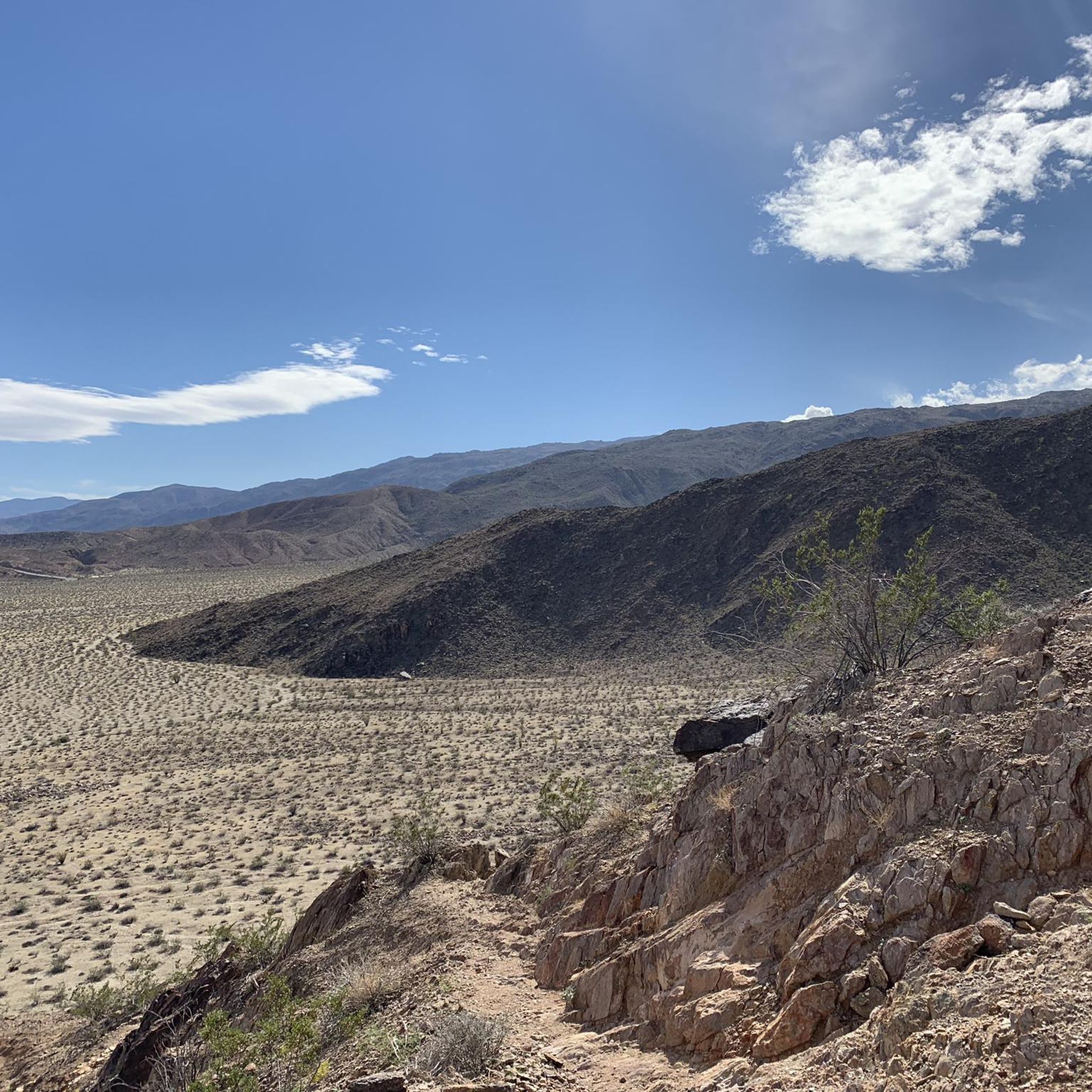
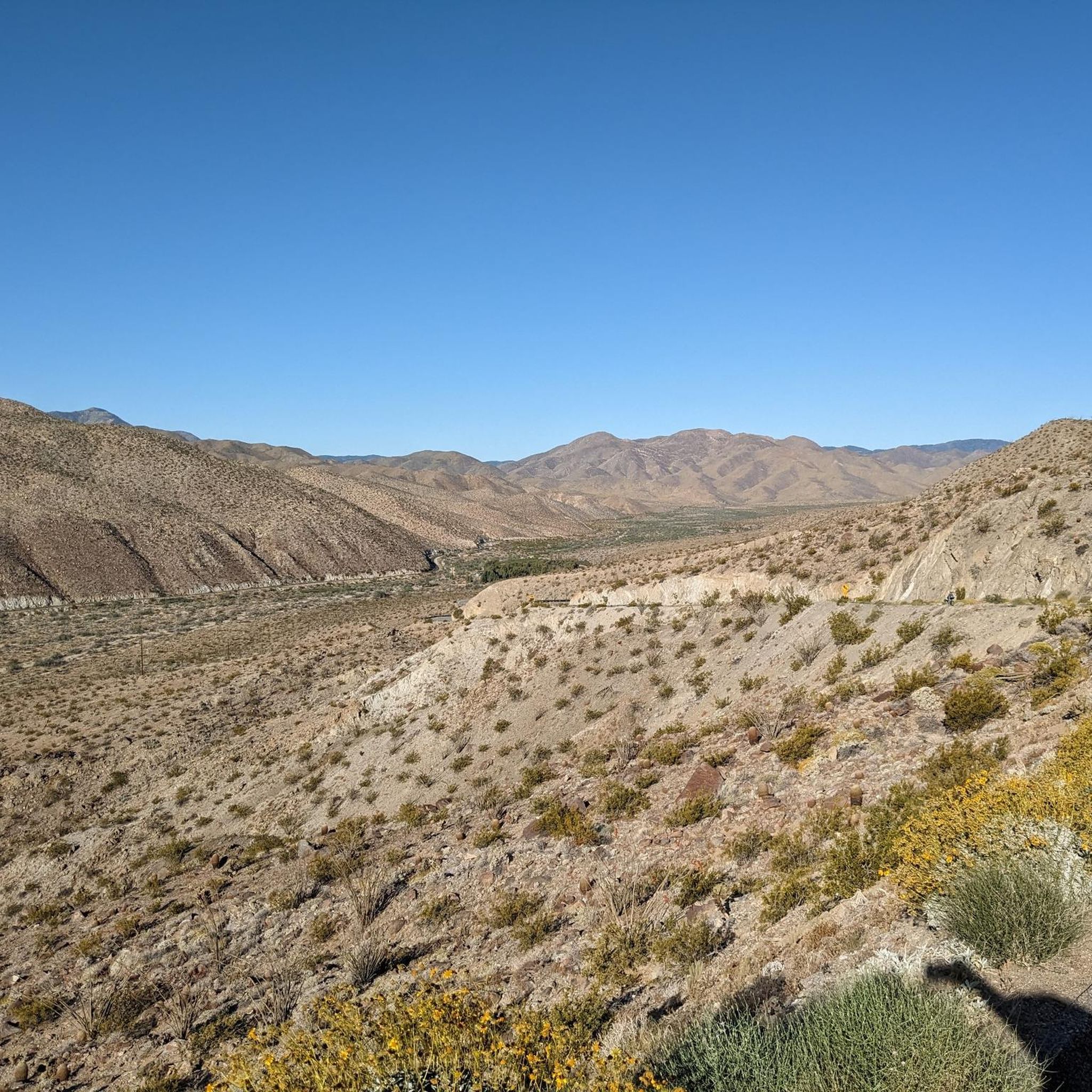
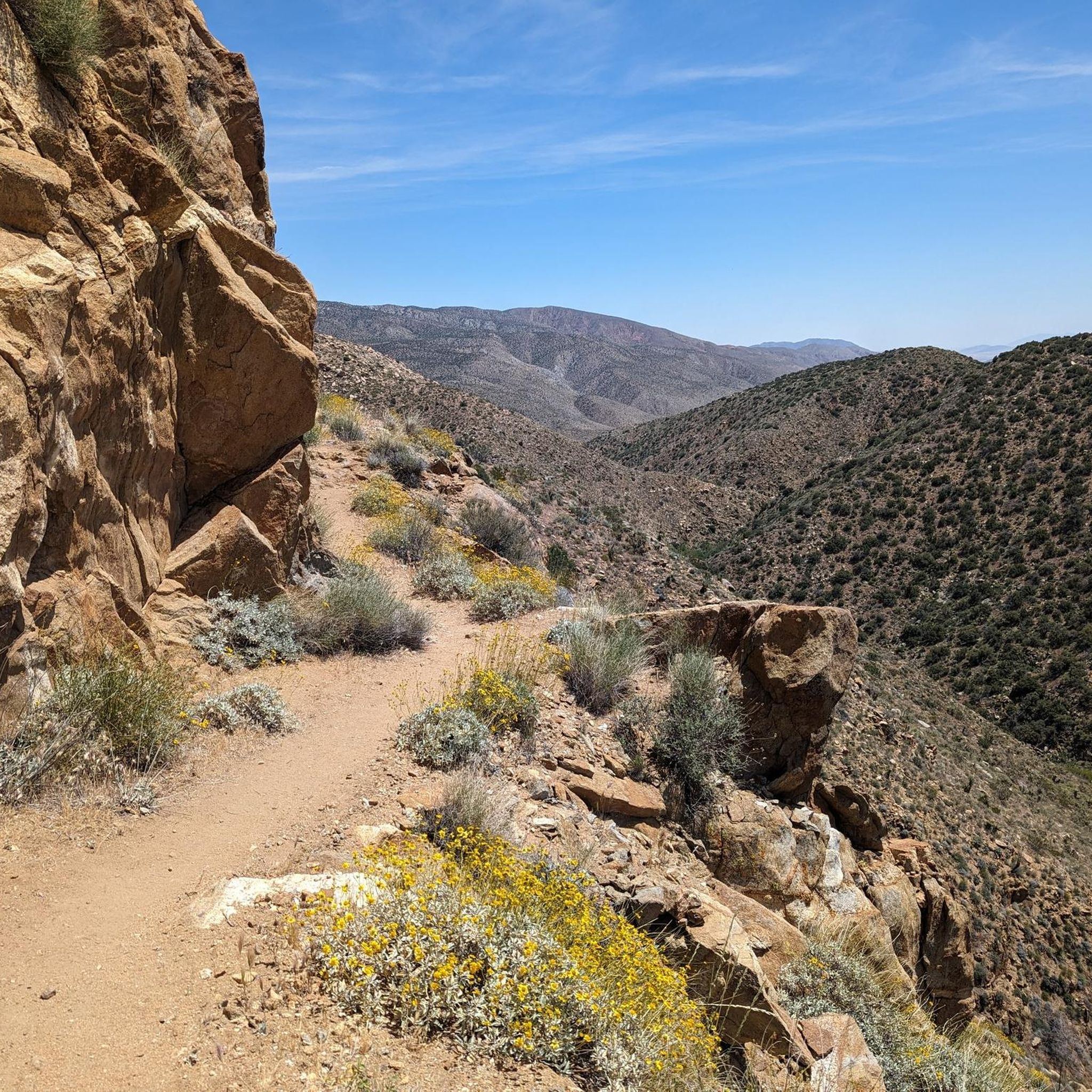
Hiking in Anza-Borrego Desert State Park explores California's largest state park, a vast desert region characterized by eroded badlands, narrow slot canyons, and contrasting palm oases. The landscape features sandy washes, rocky canyons, and ridges offering expansive views of the desert floor. The park encompasses various mountain ranges, including the Santa Rosa Mountains, providing diverse hiking environments. This varied terrain offers opportunities for different ability levels, from easy nature walks to more challenging hikes.
Best hiking trails in Anza-Borrego Desert State Park
- The most popular hiking route is Borrego Palm Canyon Trail, a 1.5 miles (2.5 km) trail that takes about 45 minutes to complete. This route leads to a secluded palm oasis within a rocky canyon.
- Another top favourite among local hikers is The Slot, Borrego Mountain Wash, and West Butte Loop, a moderate 4.7 miles (7.6 km) path. This trail navigates through a narrow slot canyon and open washes.
- Local hikers also love the Culp Valley Overlook Trail, a 4.0 miles (6.5 km) trail leading through varied desert terrain, often completed in about 2 hours.
- Hiking in Anza-Borrego Desert State Park is defined by sandy washes, rocky canyons, and hidden palm oases. The network of trails offers routes for different ability levels, from easy nature walks to more challenging hikes.
- The routes in Anza-Borrego Desert State Park are highly rated by the komoot community with an average score of 4.9 stars from over 70 reviews. More than 700 hikers have used komoot to explore Anza-Borrego Desert State Park's varied terrain.
Last updated: October 10, 2026
5.0
(1)
81
hikers
30.2km
08:56
1,190m
350m
This segment of the Pacific Crest Trail from Scissors Crossing to Sunrise Highway offers a raw, immersive desert hiking experience through the diverse Sonoran landscape. You'll traverse rugged terrain, from a vibrant cactus garden near Scissors Crossing to rocky paths and washed-out gullies, with the scenery gradually unfolding to reveal sweeping views of the desert, including distant glimpses of the Salton Sea and the San Jacinto Mountains. It's a challenging 18.7-mile (30.2 km) journey with 3888 feet (1185 metres) of elevation gain, giving you a real taste of the thru-hiker experience.
Planning your visit requires careful consideration, especially regarding water sources Pacific Crest Trail Scissors Crossing to Sunrise Highway. Water is extremely limited, so you must carry enough for the entire 8 hours and 55 minutes, or more if you plan to camp. The best month to hike PCT Scissors Crossing to Sunrise Highway is during the cooler period from November to April, avoiding the intense summer heat. While permits aren't usually needed for day hikes, always check the Anza-Borrego Desert State Park's website for current regulations.
This difficult route passes through the rich habitat of Anza-Borrego Desert State Park, showcasing unique desert flora like yucca and poppies. It also intersects with the historic Butterfield Overland National Historic Trail, adding a layer of historical context to your adventure. The significant elevation changes and expansive views make this PCT section Scissors Crossing to Sunrise Highway popular for those seeking a demanding and scenic desert trek.
5.0
(5)
34
hikers
7.56km
02:13
200m
200m
Embark on a moderate hiking adventure through The Slot, Borrego Mountain Wash, and West Butte Loop, a 4.7-mile (7.6 km) journey that typically takes around 2 hours and 12 minutes to complete. You'll gain 658 feet (201 metres) in elevation as you explore the diverse landscapes of Anza-Borrego Desert State Park. Begin by squeezing through the incredibly narrow siltstone passages of The Slot Canyon, a truly unique experience. After emerging from the canyon, the trail opens up, leading you through the sandy expanse of Borrego Mountain Wash. Finally, ascend towards West Butte, where you'll be rewarded with sweeping panoramic views of the surrounding desert.
When planning your visit, be aware that this route offers very little shade once you leave The Slot Canyon. This makes it particularly challenging and generally unsuitable for hiking during the hot summer months. Parking is usually available at the trailhead, but it's always wise to check current conditions before you head out. Consider starting early in the morning during cooler seasons to make the most of your hike.
This loop offers a fantastic cross-section of the Anza-Borrego Desert's unique geology and terrain. The Slot Canyon itself is a geological marvel, formed by water eroding soft siltstone over millennia, creating a natural labyrinth. Beyond the slot, the expansive views from West Butte provide a sense of the vastness of this desert environment, showcasing its rugged beauty and diverse ecosystems.

3.0
(1)
14
hikers
2.47km
00:46
140m
0m
Start your hike on the Borrego Palm Canyon Trail, a moderate route that takes you through dramatic desert-varnished canyon walls. You will cover 1.5 miles (2.5 km) and gain 449 feet (137 metres) in elevation, typically finishing in about 46 minutes. As you go, you will see diverse desert plants like cacti and ocotillo, and the path often follows a clear, bubbling stream you will cross several times. The highlight of this journey is reaching the Borrego Palm Canyon Oasis, where a cool, shady grove of native California fan palms offers a striking contrast to the arid surroundings. This lush spot in a rocky ravine provides a unique desert experience.
The trail is mostly unshaded, so be ready for significant sun exposure, particularly if you visit during warmer months. Some sections involve rocky paths and may require a bit of rock scrambling, so wear appropriate footwear. Since the trail is located within Anza-Borrego Desert State Park, it is always a good idea to check the park's official website for current conditions or any temporary closures before you head out. This ensures you have the most up-to-date information for your visit.
This trail is notable for its journey into a desert oasis, showcasing the resilience of nature in an arid environment. The presence of a clear, bubbling stream throughout much of the route adds to its unique character, providing a lifeline for the diverse plant life you will encounter. It offers a chance to experience the stark beauty of the desert alongside pockets of unexpected lushness. The Borrego Palm Canyon Trail stands out as a prime example of the natural wonders found within the Anza-Borrego Desert.
6
hikers
11.8km
03:20
280m
200m
Embark on the Sunrise Trailhead to Pioneer Mail Trail, a moderate hike spanning 7.3 miles (11.8 km) with an elevation gain of 910 feet (277 metres). This route offers a unique blend of mountain and desert scenery, taking you along a segment of the Pacific Crest Trail. You will discover panoramic views, including a dramatic 3,000-foot drop into the Anza Borrego Desert State Park, making for a rewarding experience that typically takes around 3 hours and 19 minutes to complete.
When planning your visit, remember that this is a one-way journey, and attempting a round trip will significantly increase both the distance and elevation. Summer heat and limited shade can make midday hiking challenging, so it is best to start early or later in the day to avoid the peak temperatures. Always carry plenty of water and be prepared for varying conditions along the route.
This trail is situated within the vast Cleveland National Forest, offering a chance to see wildflowers, especially in areas that have recovered from past fires. The meeting point of mountain and desert ecosystems creates a diverse natural environment. Kwaaymii Point, a notable landmark on the trail, is also recognized as an excellent spot for stargazing, adding another unique dimension to your adventure.
3
hikers
3.31km
00:57
90m
90m
The Mountain Palm Springs Loop offers a unique desert hiking experience, showcasing a striking contrast between arid landscapes and lush palm oases. As you navigate the 2.1-mile (3.3 km) route, you'll traverse rocky ground and sandy washes, encountering several California fan palm groves, such as the Pygmy Grove. The trail provides a fantastic opportunity to spot diverse desert plants like cactus and ocotillo, along with various wildlife, making it a rewarding journey through Anza-Borrego's distinctive environment.
This easy hike, with only 285 feet (87 metres) of elevation gain and an estimated duration of 57 minutes, is best enjoyed during the cooler months of spring, fall, or winter. It's important to avoid the intense desert heat, so plan your visit for early mornings or late afternoons. The trailhead is easily accessible, making it a convenient option for a quick and scenic outing.
What truly sets this trail apart is the concentration of ancient California fan palm oases, which thrive from underground water sources in one of the planet's driest regions. These groves create vital, shady havens that support a rich ecosystem, offering a refreshing contrast to the stark desert surroundings. You might even spot the rare elephant tree on optional side trips, adding to the trail's unique botanical appeal.
Get access to more routes and recommendations from other explorers.
Already have an account?
Our route recommendations are based on thousands of hikes, rides, and runs completed by other people on komoot.
Start today with a free account
Your next adventure awaits.

Other adventures in Anza-Borrego Desert State Park

Tips from the Community


If possible, avoid midday from May to October due to the heat.
0
0

The trail to the summit winds through a ridge of shoulder-high rocky outcroppings that crown the summit of Borrego Mountain. From here you have panoramic views of the desert in every direction to the surrounding mountains, and the ridge of Borrego's East Butte stretches out across from you.
0
0
This winding sandy road takes you throat the heart of the rolling desert mountainside below Borrego Butte. The wash connects you with most of the other trails in the park. Between the dramatic canyon bluffs and the expanse of the desert, this trail is a truly remarkable sight to behold.
0
0

Super impressive! The colors are even more extreme towards the evening.
0
0

A Beautiful oasis at the end of the Boreggo Springs Palm Canyon Loop. A lush oasis where Palm Trees thrive in the desert.
0
0

This small area, one of the five groves in the region, features a stunning section of palm trees amidst a desert rocky landscape. It serves as a unique and captivating stop along the trail.
0
0

Take the main trail up and the alternate down to give you the best views
0
0
Frequently Asked Questions
When is the best time to hike in Anza-Borrego Desert State Park?
The ideal hiking season is from October to May. Winter and spring offer pleasant temperatures for exploring the desert. Spring, particularly after a wet winter, can bring spectacular wildflower blooms. Summer is extremely hot, and hiking is not recommended during the middle of the day due to dangerous heat levels.
Are there any easy, family-friendly hikes in the park?
Yes, the park has several trails suitable for families with children. For a unique experience, consider the Pictograph Trail to Smuggler's Canyon overlook. It's a relatively short walk through a sandy wash leading to ancient rock art, which can be fascinating for all ages.
What should I pack for a day hike in Anza-Borrego?
Packing correctly is crucial for safety. Always carry more water than you think you'll need—at least one gallon (4 liters) per person, per day. Also include sun protection (hat, sunscreen, sunglasses), salty snacks, a map, a first-aid kit, and sturdy hiking shoes. A headlamp is also wise, even for a day hike.
Are dogs allowed on the hiking trails?
No, dogs are not permitted on the hiking trails, in washes, or in the backcountry of Anza-Borrego Desert State Park. They are allowed in the park's campgrounds and on the paved roads, but must be on a leash no longer than six feet.
What makes the slot canyon hikes unique?
The slot canyons are narrow passages carved by water through siltstone and sandstone. Hiking through them is an immersive experience where you can touch both walls at once in some places. The towering, sculpted walls create a dramatic and photogenic environment, offering a different perspective on the desert landscape.
Are there any long-distance or backpacking trails?
Yes, a segment of the famous Pacific Crest National Scenic Trail passes through the park, offering a challenging experience for long-distance hikers. Dispersed camping is allowed throughout the park, making it a popular destination for backpackers seeking solitude.
What do other hikers think of the trails in Anza-Borrego?
The region is highly regarded by the komoot community, with an average rating of 4.9 out of 5 stars. Hikers frequently praise the park's stunning and varied landscapes, from the surprise of finding a palm oasis in a rocky canyon to the unique geology of the badlands and slot canyons.
Where can I find the best views in the park?
For some of the most spectacular panoramic views, head to Font's Point. It's often called the "Grand Canyon of Anza-Borrego" and offers breathtaking vistas over the eroded Borrego Badlands, especially at sunrise or sunset. While accessible by 4WD, it's also a rewarding destination for hikers.
Are there any hikes that lead to waterfalls?
Yes, but they are seasonal. The trail into Hellhole Canyon can lead to Maidenhair Falls, which typically flows during the winter and spring after sufficient rainfall. The hike is challenging and involves some rock scrambling.
What kind of wildlife might I see?
The park is a designated sanctuary for the Peninsular Bighorn Sheep, which you might spot on rocky hillsides. Other common wildlife includes mule deer, coyotes, roadrunners, and golden eagles. Keep an eye out for unique desert plants as well, like the ocotillo and the rare Elephant Tree.
How many hiking trails are in Anza-Borrego Desert State Park?
There are over 40 distinct hiking routes mapped on komoot, covering hundreds of miles. These range from short, interpretive nature trails to strenuous, multi-day backpacking treks, offering options for every skill level across the park's vast and diverse terrain.
Are there any specific safety concerns for hiking in the desert?
Yes. The primary concern is the heat, especially from late spring to early fall. Always carry ample water. Flash floods can occur in canyons and washes, so check the weather forecast before you go. It's also easy to get lost; never hike alone, tell someone your plan, and carry a reliable map and navigation tool.
Most popular routes in Anza-Borrego Desert State Park
Most popular attractions in Anza-Borrego Desert State Park

Get inspired with the komoot mobile app


Explore more
Browse the best Hikes in other regions.
