The best walks and hikes in Bandelier National Monument
4.7
(70)
1,050
hikers
27
hikes
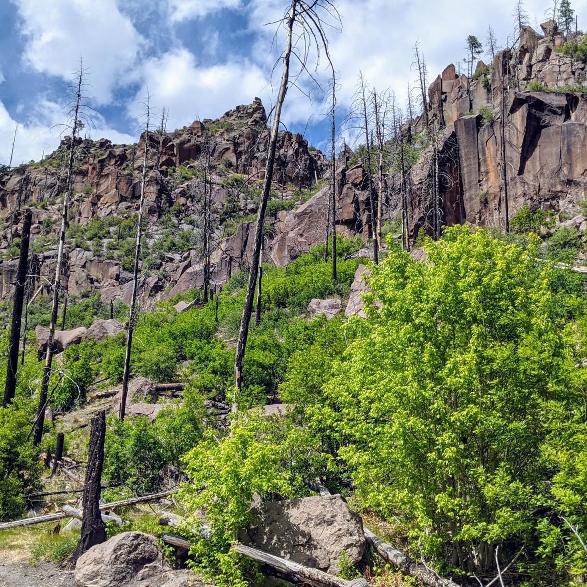
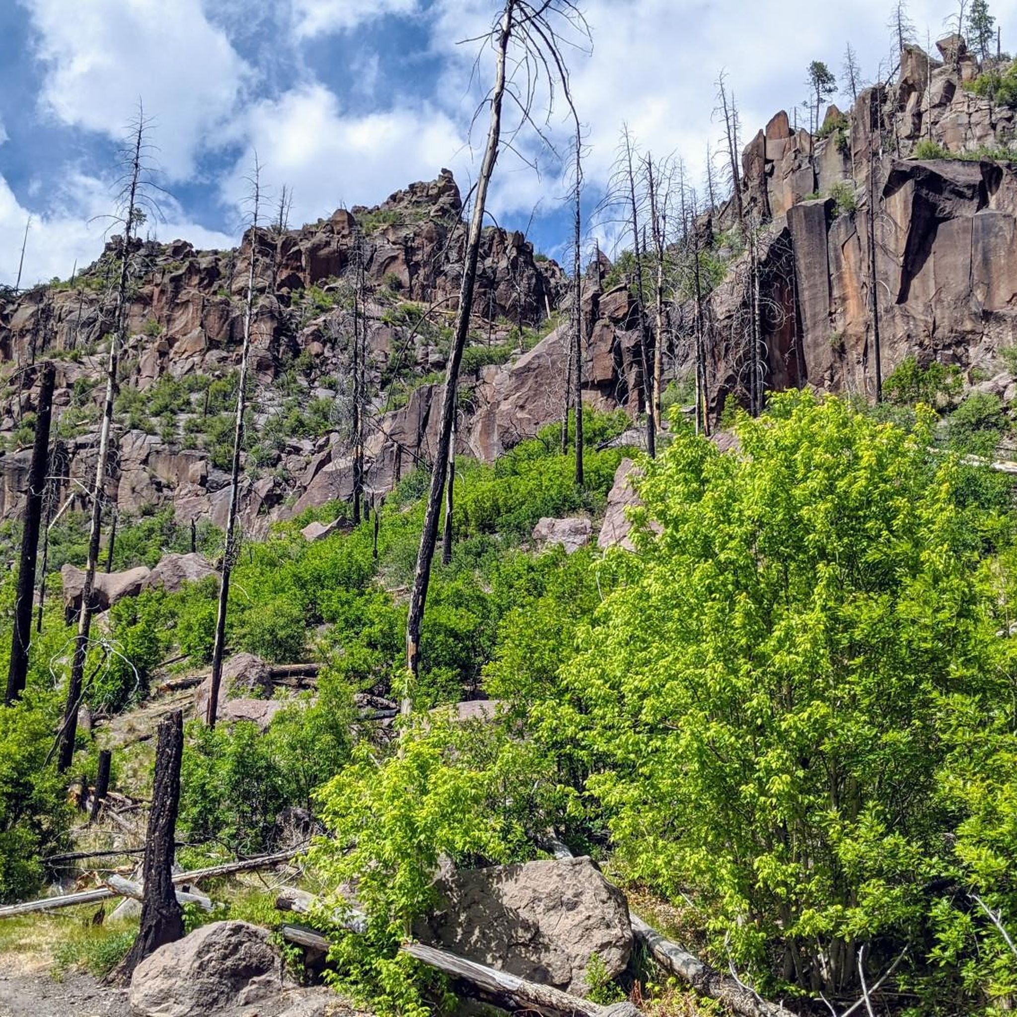
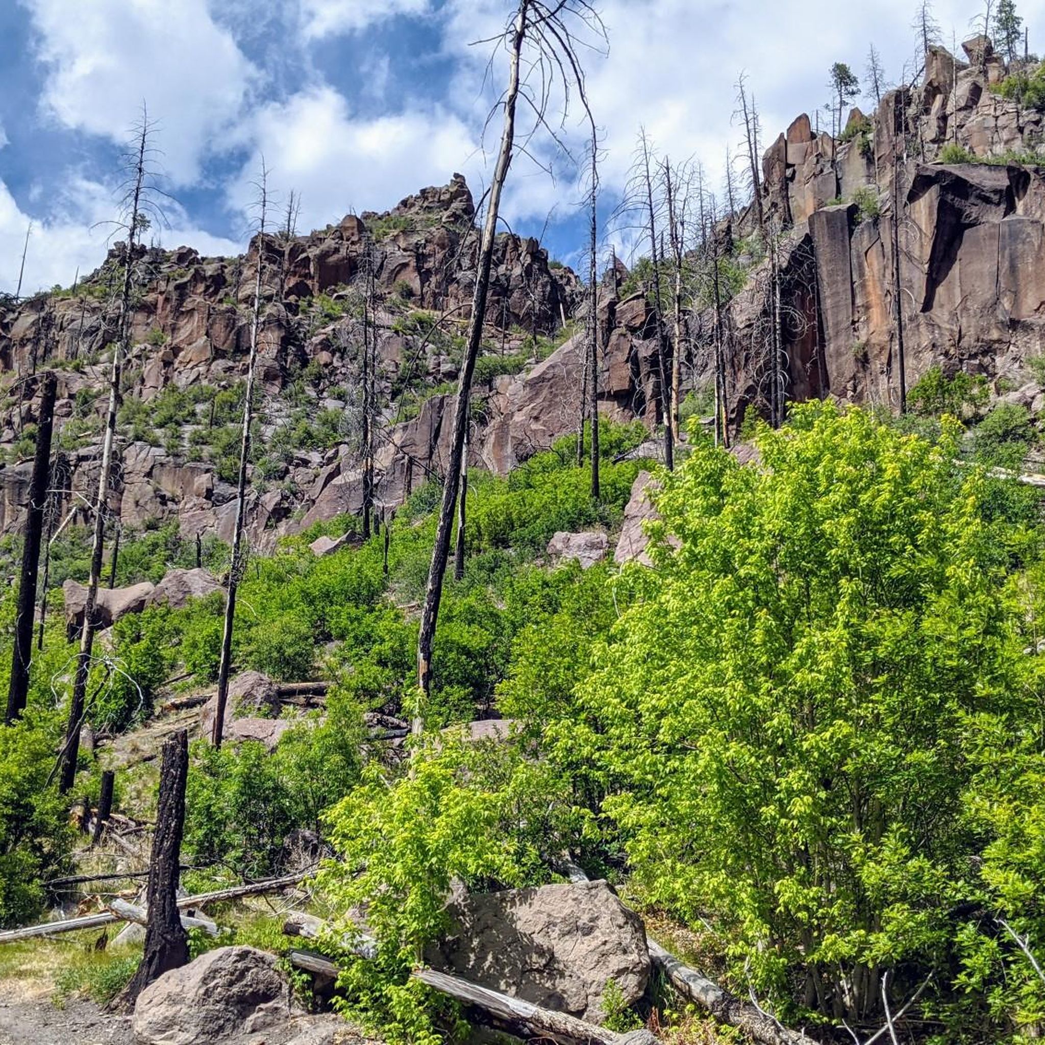
Hiking trails in Bandelier National Monument lead through a landscape of broad mesas and steep-walled canyons carved from volcanic tuff. The area contains numerous Ancestral Pueblo dwellings accessible from the trail network. Routes follow paths along the floor of Frijoles Canyon and also climb to higher elevations, offering a mix of terrain for hikers.
Best hiking trails in Bandelier National Monument
- The most popular hiking route is Bandelier National Monument loop via Alcove House Trail — Bandelier National Monument,…
Last updated: October 11, 2026
5.0
(2)
41
hikers
3.36km
00:54
40m
60m
Step back in time on the Pueblo Loop Trail, an easy 2.1-mile (3.4 km) hike through the ancient dwellings of the Ancestral Pueblo people in Bandelier National Monument. The route…
1
hikers
8.02km
02:57
250m
280m
The Middle Alamo Trail presents a moderate hiking challenge, covering 5.0 miles (8.0 km) with an elevation gain of 833 feet (254 metres). You can expect to spend about 2…

1
hikers
2.81km
00:49
20m
180m
Embark on an easy hike along the Ponderosa Trail, a peaceful route that winds through a characteristic Ponderosa pine forest within Bandelier National Monument. This 1.7-mile (2.8 km) path offers…
4.8
(15)
279
hikers
4.43km
01:12
70m
70m
The Main Loop and Alcove House Trail offers a captivating journey through Frijoles Canyon, where you'll walk among ancient Ancestral Pueblo sites carved into dramatic tuff cliffs. The initial section…
4.8
(6)
79
hikers
3.14km
00:53
60m
60m
Embark on an easy hike along the Tsankawi Loop Trail, where you'll follow ancient Ancestral Pueblo footpaths deeply worn into volcanic tuff. The route offers 360-degree panoramic vistas of the…
Get access to more routes and recommendations from other explorers.
Already have an account?
Our route recommendations are based on thousands of hikes, rides, and runs completed by other people on komoot.
Start today with a free account
Your next adventure awaits.

Other adventures in Bandelier National Monument

Tips from the Community

Located 12 miles from the main section of Bandelier National Monument on State Highway 4, the Tsankawi section offers a 1.5-mile walk along a mesa, showcasing cavates, petroglyphs, and an Ancestral Pueblo village. The trail is sometimes narrow in places, requires some scrambling in addition to climbing several ~12 foot ladders, and is quite exposed to the elements so it should be avoided during thunderstorms and inclement weather. In winter, the path may be slippery and icy. Tsankawi also can be a little challenging to locate, in large part because it signs on Highway 4. From Santa Fe, turn from State Highway 502 to 4, finding Tsankawi less than 1/4 mile on the left. Coming from Bandelier, it's easier to locate, with the gravel parking lot on the right past the 3rd stoplight. Here is a link to a great virtual tour of the site by the NPS: nps.gov/band/learn/photosmultimedia/tt-vt-intro.htm
0
0

The Yapashi Ancestral Pueblo site's ruins are on the Pajarito Plateau in the Bandelier backcountry. Beyond the ancient ruins, runners can enjoy the panoramic views of the volcanic landscape formed by the ancient Valles Caldera eruption. These ruins were made by the Keres people in 1200–1500 CE. Some of the buildings were up to three stories tall and had hundreds of rooms.
0
0
The trail passes by large panels of petroglyphs (carved pictures), that are thought to be hundreds of years old. Although their exact meaning is unknown, they are most likely not a type of written language, but rather held deep spiritual and artistic significance to ancient (and modern) indigenous people. There are many petroglyphs in this area, so be sure to take your time to try to find all of them - many of them blend in with their surroundings! Like in most archeological sites, please do not touch these ancient carvings.
0
0
The cavetes are located just below the ancient central village plaza in the cliff bands that make up the mesa. These cavates (human excavated cavities) were places where people could take shelter from the elements; the thick stone walls provided insulation from both the cold of winter and heat of summer. Talus pueblos were also most-likely constructed in front of the entrance to the cavates to further protect people from wind, rain, snow, and perhaps most importantly in the desert, heat. Please only enter cavetes that are immediately adjacent to the trail - the other cavets are dangerous to access.
0
0
This spot is near where the center ancient Tsankawi Village once stood. From here you get fantastic views out over the mesa of Jémez Mountains to the west, the Sangre de Cristo Mountains and the Española Valley to the east, and about 70 miles south you can see the Sandia Mountains, near Albuquerque. In addition to the natural high ground that the mesa afforded the Indigenous people and caves that dot the cliffsides, there used to be tall defensive walls to protect this central plaza. You can see the remains of these walls and other structures as well as pottery shards. Collecting these important historical artifacts is illegal and even moving them from one spot to another in the village can disrupt our understanding of the area. As you leave this area you get to walk on ancient pathways carved into the rock itself. There are some ancient small stone steps carved in the cliffs, but please stick to the ladders rather than climb the steps.
0
0
Located 12 miles from the main section of Bandelier National Monument on State Highway 4, the Tsankawi section offers a 1.5-mile walk along a mesa, showcasing cavates, petroglyphs, and an Ancestral Pueblo village. The trail is sometimes narrow in places, requires some scrambling in addition to climbing several ~12 foot ladders, and is quite exposed to the elements so it should be avoided during thunderstorms and inclement weather. In winter, the path may be slippery and icy. Tsankawi also can be a little challenging to locate, in large part because it signs on Highway 4. From Santa Fe, turn from State Highway 502 to 4, finding Tsankawi less than 1/4 mile on the left. Coming from Bandelier, it's easier to locate, with the gravel parking lot on the right past the 3rd stoplight. Here is a link to a great virtual tour of the site by the NPS: https://www.nps.gov/band/learn/photosmultimedia/tt-vt-intro.htm
0
0
Ponderosa Group Campground has vault toilets and water spigots and is just off of New Mexico Highway 4. The campsites can hold 10–50 people, and there is access to the Frijoles Canyon Shuttle running from mid-May to mid-October. This campground was affected by the Las Conchas Fire back in 2011, and today it is repaired and running well.
0
0
Upper Frijoles Crossing is where the Ponderosa, Frijoles Rim, Frijoles, and Apache Springs Trails all intersect. This spot also has fantastic views down the lush canyon and is a great place to pause and take some photos and sip some water because it can get hot out there!
0
0
Frequently Asked Questions
Are dogs allowed on the hiking trails in Bandelier National Monument?
No, pets are not permitted on any of the trails within Bandelier National Monument. They are only allowed in the parking area at the visitor center and at the Juniper Campground.
What are the best hiking options for families with children?
The Main Loop Trail is an excellent choice for families. It's a relatively flat 1.2-mile (1.9 km) walk that offers a fantastic introduction to the area's history, with accessible cliff dwellings and petroglyphs. It provides an immersive experience without being too strenuous for younger hikers.
Is there a trail that leads to a waterfall?
Yes, the Frijoles Falls – Bandelier National Monument trail takes you to the Upper Falls of Frijoles Creek. This route is about 3 miles (4.8 km) round-trip and is considered an easy hike, making it a great option for seeing some of the area's natural beauty.
How difficult are the hikes in Bandelier?
The difficulty varies greatly. You'll find everything from easy, paved loops on the canyon floor to strenuous backcountry climbs. The main area in Frijoles Canyon offers mostly easy to moderate trails. The Tsankawi section and backcountry routes require more fitness due to elevation changes and rugged terrain.
What is the Alcove House and how do I get there?
The Alcove House is a large, reconstructed kiva located 140 feet (43 m) up a canyon wall. To reach it, you must climb a series of four steep wooden ladders and stone stairs. It's accessible via a trail that extends from the Main Loop Trail, adding about a mile to your hike. It's a challenging but rewarding climb for those comfortable with heights.
Are there any good circular hikes?
Yes, the Tsankawi loop is a popular circular trail. This 2-mile (3.1 km) hike is in a separate part of the monument and follows ancient pathways worn into the volcanic tuff, offering a unique experience with petroglyphs and views from the mesa top.
What should I pack for a day hike in Bandelier?
It's essential to bring plenty of water, as the New Mexico climate is very dry and most trails are exposed to the sun. Also pack sun protection like a hat and sunscreen, wear sturdy hiking shoes, and bring snacks. A camera is also a great idea to capture the stunning landscapes and archaeological sites.
What do other hikers enjoy most about Bandelier National Monument?
The area is highly regarded by the komoot community, with an average rating of 4.6 stars. Reviewers frequently praise the unique opportunity to walk through history by exploring the ancient cliff dwellings and petroglyphs up close. The dramatic canyon scenery and well-maintained trails are also consistently mentioned as highlights.
Are there options for longer, more challenging hikes?
For a moderate challenge, the Frey Trail to Pueblo Loop is a great choice, involving a significant descent into the canyon. For more strenuous, multi-day trips, the monument has over 70 miles of backcountry trails. A free permit is required for any overnight trips into the backcountry.
What is the elevation at Bandelier National Monument?
The elevation varies significantly. The Visitor Center in Frijoles Canyon sits at about 6,066 feet (1,849 m). However, trails can climb up to the surrounding mesa tops, which reach elevations over 7,000 feet (2,133 m). Be prepared for the effects of high altitude, especially if you are arriving from a lower elevation.
When is the best time of year to hike in Bandelier?
Spring and fall are ideal, offering pleasant temperatures for hiking. Summer can be very hot, especially on exposed trails, so it's best to start early in the morning. Winter is colder and can bring snow, which offers a different kind of beauty, but be sure to check trail conditions for ice and closures.
How many hiking trails are there in the monument?
Bandelier National Monument features over 25 designated hiking trails, covering more than 70 miles of terrain. These range from short, interpretive walks in Frijoles Canyon to extensive backcountry routes on the mesas.
Most popular routes in Bandelier National Monument
Most popular attractions in Bandelier National Monument

Get inspired with the komoot mobile app


Explore more
Browse the best Hikes in other regions.
