The best cycling routes in Grandstaff Canyon Wilderness Study Area
4.9
(17)
2,109
riders
28
rides
Touring cycling in Grandstaff Canyon Wilderness Study Area offers routes through a landscape characterized by deep canyons, desert terrain, and the Colorado River valley. The region features varied topography, including flat pathways and gradual ascents, suitable for different cycling preferences. This area is known for its geological formations and open vistas.
Best touring cycling routes in Grandstaff Canyon Wilderness Study Area
- The most popular touring cycling route is Goose Island Campground – Bridge over the Colorado River loop from Porcupine Rim Trailhead Parking, a 15.0 miles (24.2 km) trail that takes 1 hour 35 minutes to complete. This moderate route offers views of the Colorado River and surrounding canyon scenery.
- Another top favourite among local touring cyclists is Moab loop from Hell's Revenge, a moderate 26.8 miles (43.1 km) path. This route circles the town of Moab, providing diverse desert and town-adjacent landscapes.
- Local touring cyclists also love the Moab Canyon Pathway, a 11.3 miles (18.1 km) trail leading through scenic canyon areas, often completed in about 1 hour 3 minutes.
- Touring cycling in Grandstaff Canyon Wilderness Study Area is defined by canyon landscapes, river valleys, and desert terrain. The network offers options for easy, moderate, and difficult routes, catering to various ability levels.
- The routes in Grandstaff Canyon Wilderness Study Area are highly rated by the komoot community with an average score of 5.0 stars from 8 reviews. More than 1000 touring cyclists have used komoot to explore Grandstaff Canyon Wilderness Study Area's varied terrain.
Last updated: October 12, 2026
5.0
(1)
21
riders
Moderate bike ride. Good fitness required. Mostly paved surfaces. Suitable for all skill levels.
16
riders
18.1km
01:04
90m
90m
The Moab Canyon Pathway offers a truly immersive experience into the stunning red rock landscape of Utah, providing a safe and scenic touring cycling route away from highway traffic. As you pedal, you'll be treated to expansive views of canyons and plateaus, with the light changing on the cliffs creating a dynamic visual journey. Keep an eye out for the Courthouse Wash pictograph panel, a fascinating historical site along the way, adding a cultural layer to the natural beauty.
Planning your ride on this 11.3-mile (18.1 km) route is straightforward, as it's accessible year-round, though spring and fall offer ideal weather. The trail is rated easy, with 308 feet (94 metres) of elevation gain, taking about 1 hour and 3 minutes to complete. While mostly flat, be prepared for a noticeable climb between miles 4 and 5.5 if you're heading northwest, which adds a bit of a challenge. Parking is available at various access points, including near the Colorado River bridge, making it easy to start your adventure.
What makes the Moab Canyon Pathway stand out is its crucial role in connecting Moab to iconic destinations like Arches National Park, offering a protected path for cyclists. It's a multi-use trail, popular with runners and hikers too, and even allows Class 1 e-bikes, making it incredibly versatile. This pathway also links up with other trails, such as the Moab Brands Trail System, providing opportunities to extend your ride onto unpaved surfaces if you're looking for more adventure.

15
riders
60.8km
03:44
560m
560m
The Moab Canyon Pathway to Navajo Rocks offers a unique cycling adventure, transitioning from a smooth, paved path to rugged mountain biking terrain. You'll start on the Moab Canyon Pathway, enjoying views of Arches National Park and red rock canyons, before reaching the Navajo Rocks area. The route covers 37.8 miles (60.8 km) with 1830 feet (558 metres) of elevation gain, making it a difficult ride that takes about 3 hours and 43 minutes to complete.
To tackle this route, plan for a mixed-terrain experience; the initial pathway is great for touring bikes, but the Navajo Rocks section requires a mountain bike due to its slickrock and sandy conditions. Spring and fall are the best seasons to ride, offering pleasant temperatures. Always bring ample water, as the desert climate can be very dry, and be prepared for varied surfaces.
This route is notable for connecting the accessible Moab Canyon Pathway, which was once Old Highway 191, to the challenging Navajo Rocks mountain biking system. It provides a safe, non-motorized way to experience Moab's iconic landscapes, from the Courthouse Wash pictograph panel to the distant La Sal Mountains, showcasing the region's diverse geological features.
5.0
(1)
35
riders
Moderate bike ride. Good fitness required. Mostly paved surfaces. Suitable for all skill levels.
30
riders
25.4km
01:36
260m
260m
Moderate bike ride. Good fitness required. Mostly paved surfaces. Suitable for all skill levels.
Get access to more routes and recommendations from other explorers.
Already have an account?
Our route recommendations are based on thousands of hikes, rides, and runs completed by other people on komoot.
Start today with a free account
Your next adventure awaits.
Popular around Grandstaff Canyon Wilderness Study Area

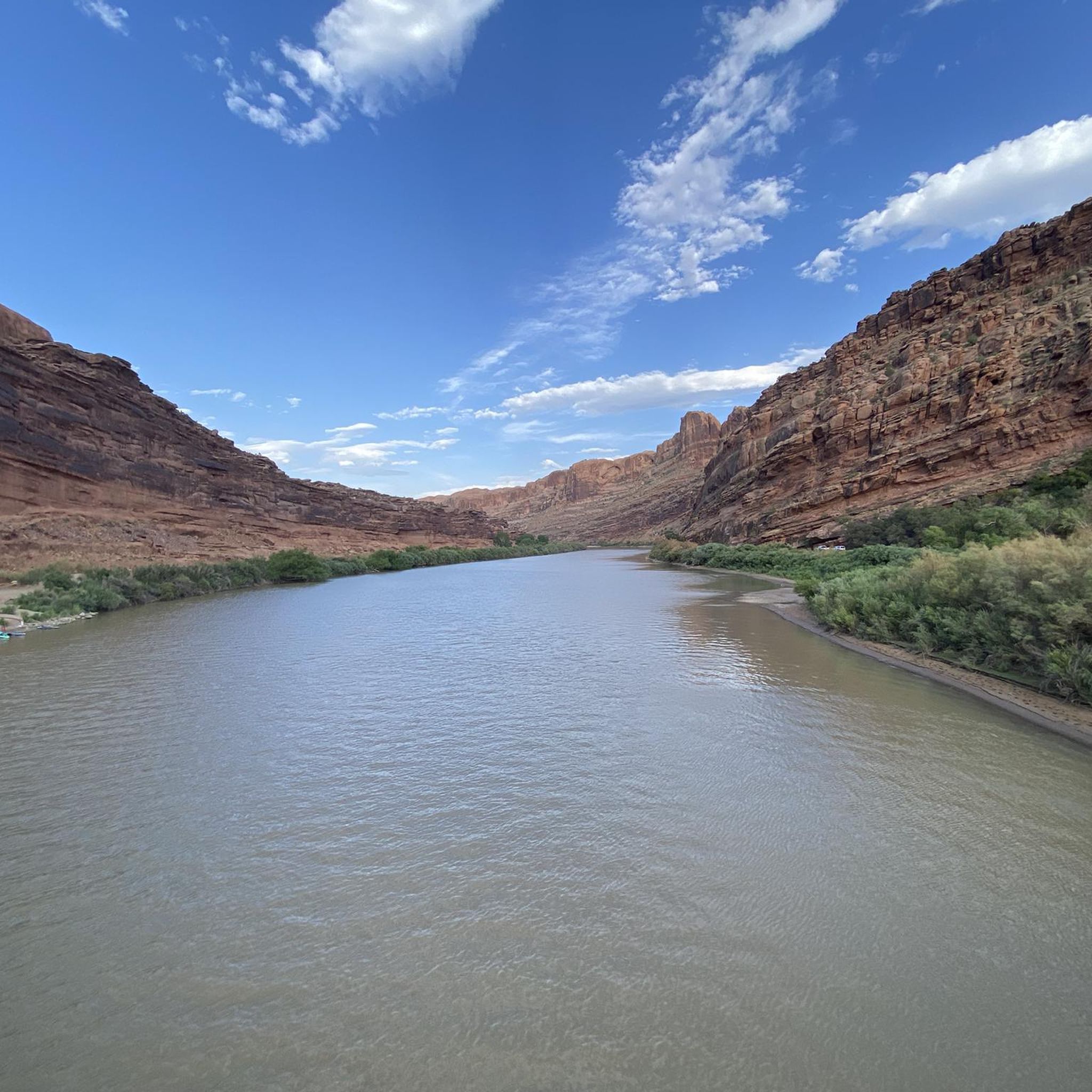
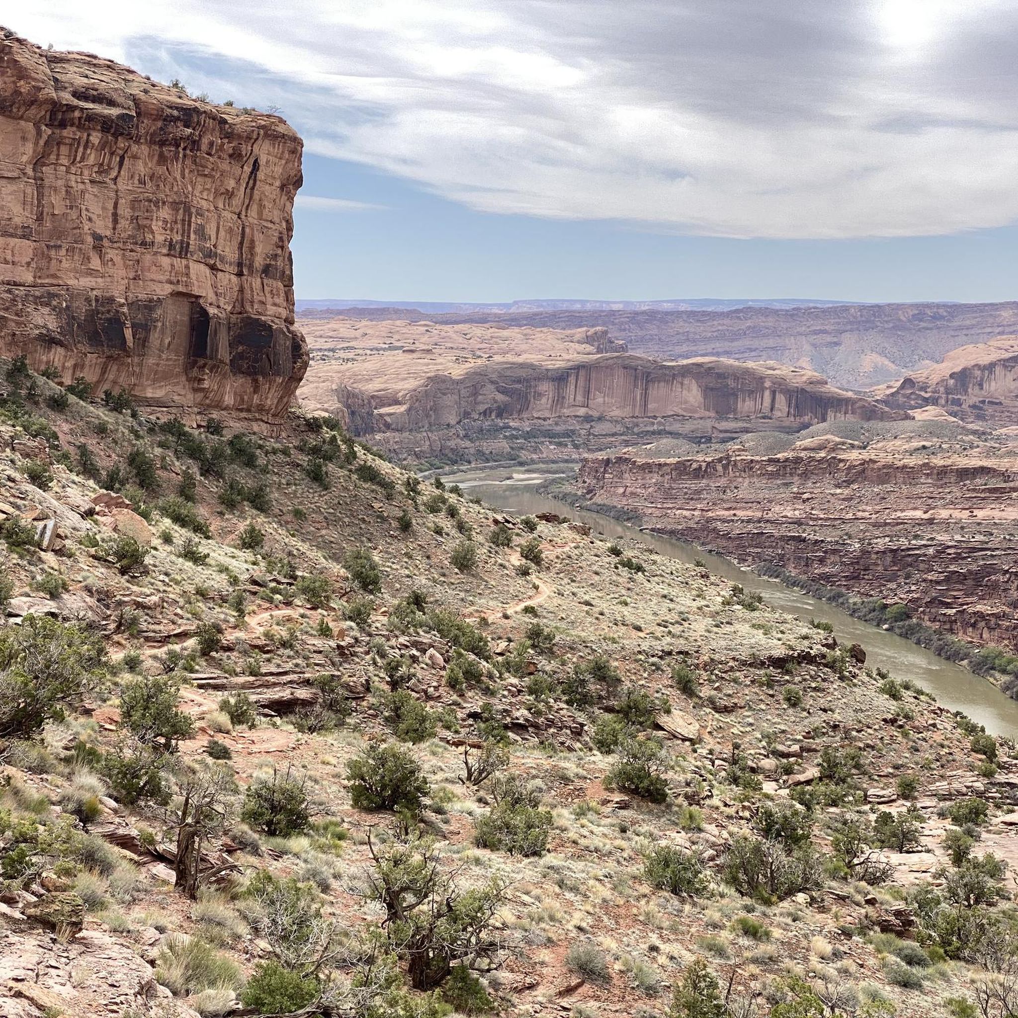
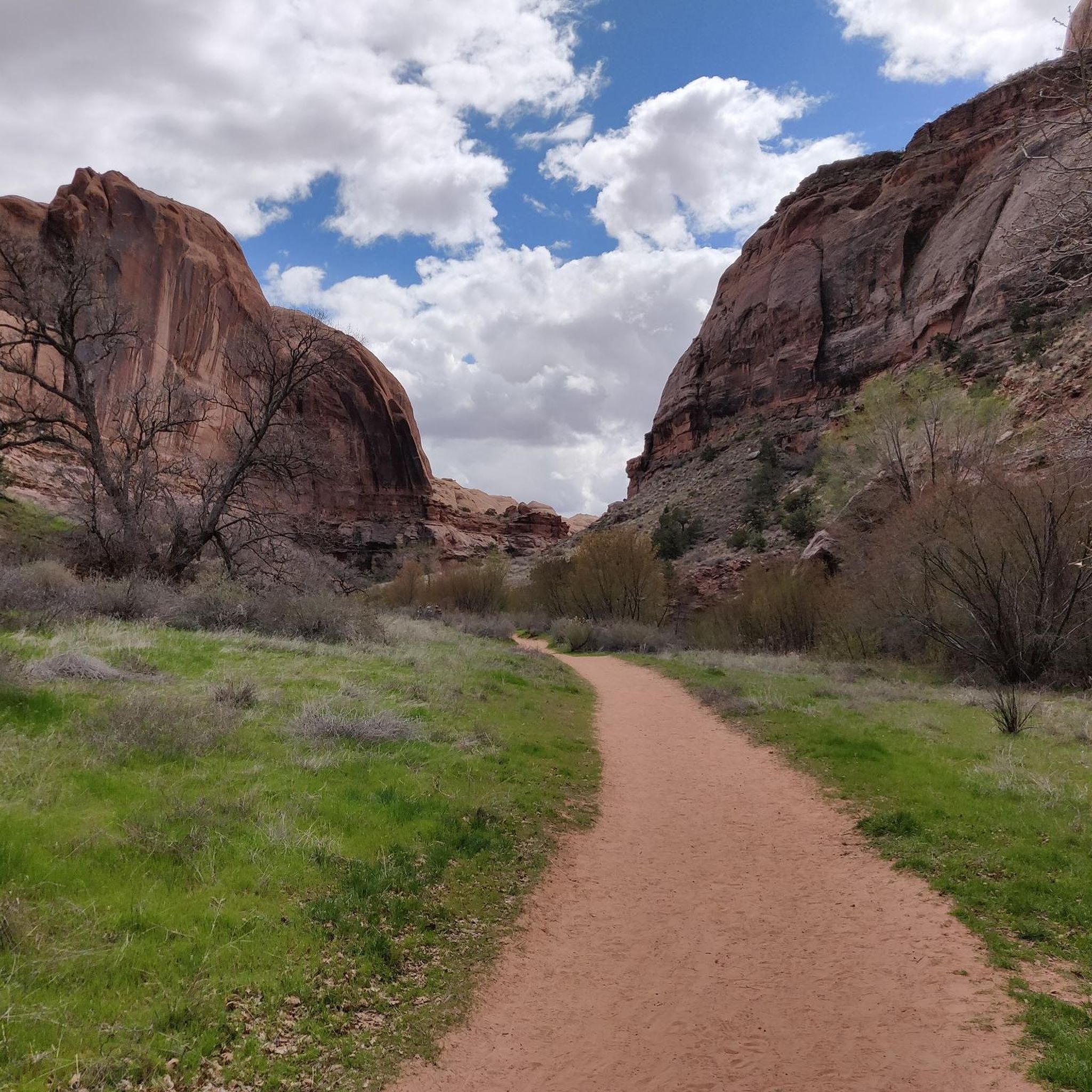
Other adventures in Grandstaff Canyon Wilderness Study Area

Tips from the Community

Parts of the cycle path along US-191
1
0
A super bike path that is well maintained. Super usable for training
1
0
This bridge is made especially for pedestrians and cyclists, crosses the Colorado and offers great views on both sides. It is part of a path that leads about 25 miles into the desert, always along the US-191 but mostly a good bit into the mountains.
1
0
This path leads for a few kilometers along the Colorado River. Car-free, for running and cycling. Super well done.
1
0


Moab is a desert gateway town built for adventurers, framed by red-rock arches and mesas all set along the Colorado River. It’s the ideal base for exploring world-famous landscapes like Arches and Canyonlands National Parks, plus slickrock mountain biking, rafting excursions, and scenic drives through rugged canyon country. Downtown offers a nice mix of good food, galleries, gear shops, and local hospitality.
0
0


Beautiful mural that fits the area.
1
0
Frequently Asked Questions
How many touring cycling routes are available in Grandstaff Canyon Wilderness Study Area?
There are nearly 30 touring cycling routes in the Grandstaff Canyon Wilderness Study Area, offering a diverse range of experiences. These include 4 easy routes, 15 moderate routes, and 10 difficult routes, catering to various skill levels.
Are there any easy touring cycling routes suitable for beginners or families?
Yes, the region offers several easy routes perfect for beginners or families. A great option is the Moab Canyon Pathway, an 11.3-mile trail that leads through scenic canyon areas and is typically completed in about an hour.
What are some challenging touring cycling routes for experienced riders?
For experienced riders seeking a challenge, consider routes like the Moab Canyon Pathway to Navajo Rocks, which covers nearly 38 miles with significant elevation changes. Another difficult option is the Moab Canyon Pathway – Petrified Dunes Viewpoint loop from Moab, offering a 28.7-mile ride with rewarding views.
Are there any circular touring cycling routes in the area?
Yes, several routes offer a loop experience. The Goose Island Campground – Bridge over the Colorado River loop from Porcupine Rim Trailhead Parking is a popular 15-mile moderate loop, providing excellent views of the Colorado River. Another option is the Moab loop from Hell's Revenge, a 26.8-mile moderate path circling the town of Moab.
What kind of scenery can I expect along the touring cycling routes?
The touring cycling routes in Grandstaff Canyon Wilderness Study Area are known for their dramatic canyon landscapes, desert terrain, and views of the Colorado River valley. You'll encounter unique geological formations and open vistas throughout your ride.
What are some interesting landmarks or natural attractions to see while cycling?
Along the routes, you can explore several natural attractions. Don't miss the iconic Morning Glory Natural Bridge, a stunning natural monument. You can also experience the beauty of Grandstaff Canyon Creek and enjoy views from the Upper Grandstaff Canyon Trail.
What is the best season for touring cycling in Grandstaff Canyon Wilderness Study Area?
Spring and fall are generally considered the best seasons for touring cycling in the Grandstaff Canyon Wilderness Study Area. Temperatures are more moderate, making for more comfortable rides. Summers can be very hot, and winters can bring cold temperatures, though cycling is possible year-round with appropriate preparation.
Are there any specific parking or access points for these cycling routes?
Many routes, such as the Goose Island Campground loop, start from designated parking areas like the Porcupine Rim Trailhead Parking. For routes around Moab, access points are often available near the town or along the Moab Canyon Pathway. Always check specific route details for precise starting locations and parking information.
What do other touring cyclists say about the routes in Grandstaff Canyon Wilderness Study Area?
The touring cycling routes in Grandstaff Canyon Wilderness Study Area are highly rated by the komoot community, with an average score of 5.0 stars from 8 reviews. Cyclists often praise the stunning canyon scenery, the variety of terrain, and the well-maintained pathways that offer a unique desert cycling experience.
Are permits required for touring cycling in the Grandstaff Canyon Wilderness Study Area?
Generally, permits are not required for touring cycling on established trails within the Grandstaff Canyon Wilderness Study Area. However, it's always advisable to check with local land management agencies or the Bureau of Land Management (BLM) for any specific regulations or updates, especially if planning to venture into more remote sections.
What should I bring for a touring cycling trip in this region?
Given the desert environment, essential items include plenty of water, sun protection (sunscreen, hat, sunglasses), and layers of clothing for temperature changes. A repair kit, first-aid supplies, and navigation tools are also highly recommended. Always carry more water than you think you'll need.
Can I find cafes or restaurants near the cycling routes?
While the Grandstaff Canyon Wilderness Study Area itself is a natural, undeveloped region, the nearby town of Moab offers a wide selection of cafes, restaurants, and grocery stores. Routes like the Moab loop from Hell's Revenge directly circle the town, making it convenient to access amenities before or after your ride.
Most popular routes in Grandstaff Canyon Wilderness Study Area
Most popular attractions in Grandstaff Canyon Wilderness Study Area

Get inspired with the komoot mobile app


Explore more
Browse the best Cycling routes in other regions.
