The best road cycling routes in Rocky Flats National Wildlife Refuge
4.9
(40)
3,036
riders
102
rides
Road cycling in Rocky Flats National Wildlife Refuge offers routes through diverse landscapes characterized by rolling plains, prairie grasslands, and woodlands. The area provides striking views of the majestic Rocky Mountains, including close-in perspectives of the Flatirons. The refuge's terrain includes rolling hills, providing varied elevation changes for cyclists. While some trails feature packed gravel, many routes accommodate road cyclists seeking paved sections and scenic vistas.
Best road cycling routes in Rocky Flats National Wildlife Refuge
- The most popular road…
Last updated: November 5, 2026
12
riders
21.2km
00:59
160m
160m
Easy road ride. Mostly well-paved surfaces and easy to ride.
4
riders
14.7km
00:40
160m
160m
Easy road ride. Mostly well-paved surfaces and easy to ride.

48
riders
43.4km
02:10
210m
210m
Moderate road ride. Good fitness required. Some segments of this route may be unpaved and difficult to ride.
5.0
(2)
163
riders
Moderate road ride. Good fitness required. Mostly well-paved surfaces and easy to ride.
23
riders
Moderate road ride. Good fitness required. Mostly well-paved surfaces and easy to ride.
Get access to more routes and recommendations from other explorers.
Already have an account?
Our route recommendations are based on thousands of hikes, rides, and runs completed by other people on komoot.
Start today with a free account
Your next adventure awaits.
Popular around Rocky Flats National Wildlife Refuge

Tips from the Community


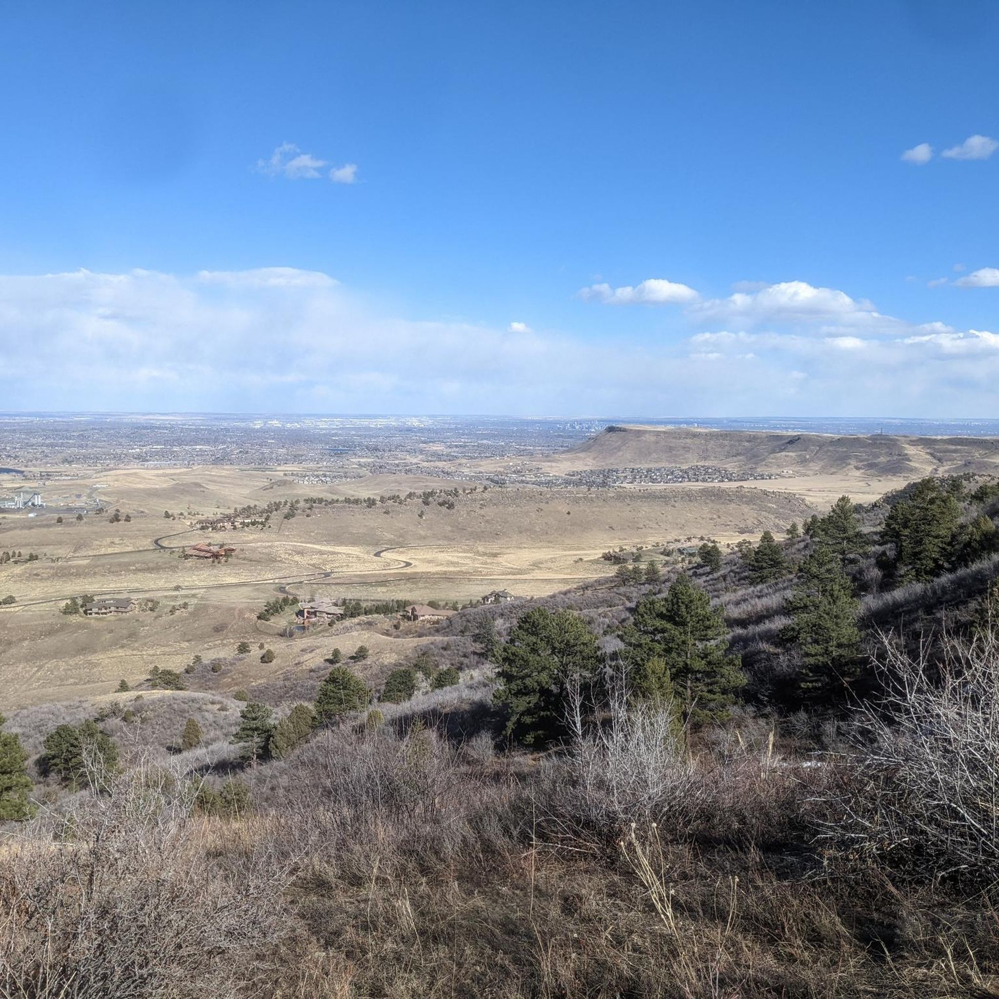
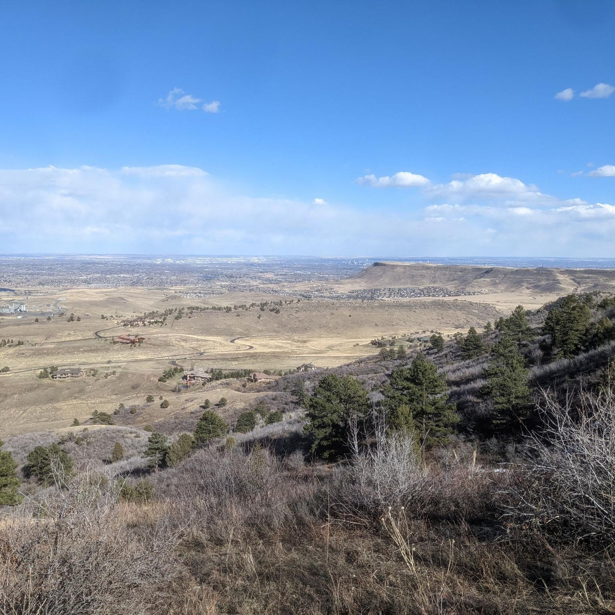
Lookout Mountain is a popular climb for local cyclists and visitors. Traffic is normally light and friendly, but the climb is steep at points. However, you are rewarded at the top by wonderful views of downtown Denver.
1
0

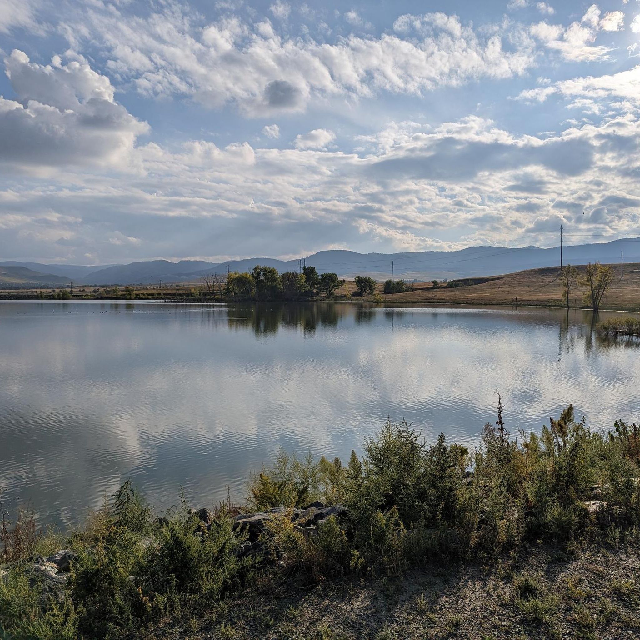
Located just behind Front Range Community College, this butterfly shaped pond offers a great place to relax and enjoy a picnic in the open meadows. You might even see some birds, squirrels, rabbits, or even the occasional fox.
1
0


This location has a portable toilet paid for by a member of the cycling community. For more details https://boulderbeat.news/2023/04/19/biking-porta-potties/
0
0


Tucker Gulch, stretching for about eight miles, plays a significant role as a watershed running from east to west. It cuts through the prairie, situated roughly one mile north of Clear Creek Canyon, and runs parallel to it. The name "Tucker Gulch" is derived from Alfred Tucker, who ran a tollgate within the canyon entrance during the 1860s. Cycling is not allowed here, so you'll have to dismount and walk your bike.
0
0
Tucker Gulch, stretching for about eight miles, plays a significant role as a watershed running from east to west. It cuts through the prairie, situated roughly one mile north of Clear Creek Canyon, and runs parallel to it. The name "Tucker Gulch" is derived from Alfred Tucker, who ran a tollgate within the canyon entrance during the 1860s.
0
0
Frequently Asked Questions
What kind of terrain can I expect when road cycling in Rocky Flats National Wildlife Refuge?
The refuge features diverse landscapes with rolling plains, prairie grasslands, and woodlands. While some trails are packed gravel, many routes accommodate road cyclists seeking paved sections. The terrain includes rolling hills, providing varied elevation changes, and offers striking views of the majestic Rocky Mountains, including the Flatirons.
Are there road cycling routes suitable for beginners or families in Rocky Flats National Wildlife Refuge?
Yes, the refuge offers routes for various ability levels. For an easier ride, consider the Broomfield County High Point loop from Eldorado K-8 School, which is 9.2 miles (14.7 km) long and takes about 40 minutes to complete. There are 29 easy routes available in total.
How many road cycling routes are available in Rocky Flats National Wildlife Refuge?
There are over 80 road cycling routes available in Rocky Flats National Wildlife Refuge, catering to various skill levels from easy to difficult.
What are some notable natural features or viewpoints to look out for while cycling?
Cyclists can enjoy stunning vistas of the Rocky Mountains, including close-in perspectives of the Flatirons, Longs Peak, and Arapahoe Pass. The refuge also encompasses a globally rare xeric tallgrass prairie and diverse ecosystems with rolling plains, prairie grasslands, woodlands, and wetlands.
Can I spot wildlife while road cycling in the refuge?
Yes, the refuge is a sanctuary for over 230 migratory and resident wildlife species. You might spot elk, mule and white-tailed deer, coyotes, prairie falcons, various raptors, songbirds, waterfowl, and black-tailed prairie dogs. Occasionally, black bears, mountain lions, and moose are also seen.
Are there any challenging road cycling routes for experienced riders?
Absolutely. For a more challenging ride with significant elevation gain, the Flagstaff Road Scenic Drive – Davidson Mesa Overlook loop from Flatiron Crossing is a difficult 31.5 miles (50.6 km) path offering expansive views. There are 5 difficult routes in the refuge for advanced cyclists.
What is the best time of year to go road cycling in Rocky Flats National Wildlife Refuge?
The refuge trails are open year-round. However, spring through fall offers the opportunity to see a variety of wildflowers in bloom, adding to the scenic beauty. Always check local weather conditions before heading out, especially during winter months.
Are there any historical points of interest within the refuge?
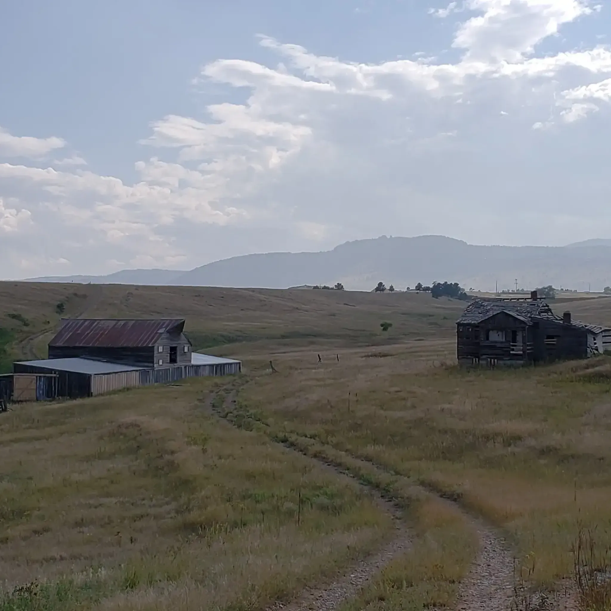
Yes, the site holds historical significance as the former Rocky Flats Plant. Interpretive panels along the trails provide information on the refuge's wildlife and history. The historic Lindsay Ranch barn is another point of interest within the refuge.
What do other road cyclists enjoy most about the routes in Rocky Flats National Wildlife Refuge?
The area is highly rated by the komoot community, with an average score of 4.9 stars from more than 30 reviews. Reviewers often praise the varied terrain, stunning mountain views, and the opportunity to experience nature and wildlife within a short distance of urban areas.
Are there any circular road cycling routes available?
Yes, many routes in the refuge are designed as loops. For example, the Davidson Mesa Overlook – Frank Varra Park Pathway loop from Visitor is a 28.6 miles (46.1 km) trail that leads through open spaces and offers panoramic mountain views.
Where can I find information about parking or trailhead access for road cycling?
While specific parking details for each trailhead are best checked on individual route pages, general information about visiting the refuge, including access points, can often be found on the official U.S. Fish & Wildlife Service website. You can find more details at fws.gov/refuge/rocky-flats/visit-us.
What are the rules for bicyclists regarding trail etiquette in the refuge?
Bicyclists are expected to yield to hikers, and both bicyclists and hikers should yield to horses. This ensures a safe and enjoyable experience for all visitors sharing the trails.
Most popular routes in Rocky Flats National Wildlife Refuge

Get inspired with the komoot mobile app


Explore more
Browse the best Road cycling routes in other regions.
