The best cycling routes in Dr. Edmund A. Babler Memorial State Park
4.9
(22)
662
riders
46
rides
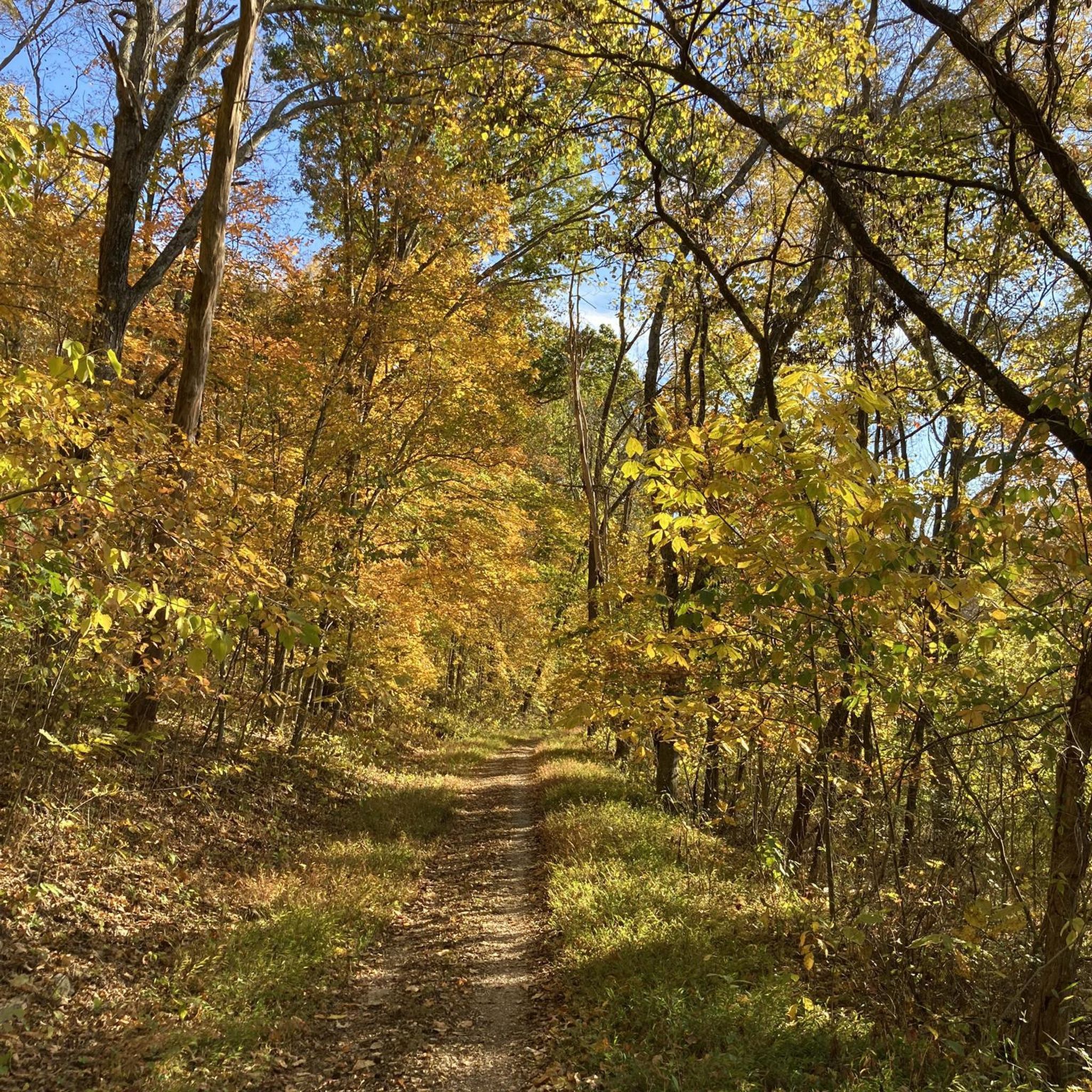
Touring cycling routes in Dr. Edmund A. Babler Memorial State Park navigate an Ozark Border landscape characterized by rugged, rocky hills, ridges, and extensive old-growth forests. The park features narrow coves, deep sheltered valleys, and continuously flowing springs, with Bonhomme Creek and Wild Horse Creek forming its western boundary. The terrain includes both paved sections and paths through verdant foliage, offering varied cycling experiences.
Best touring cycling routes in Dr. Edmund A. Babler Memorial State Park
- The most popular touring cycling route is Bike loop from Dr. Edmund A. Babler Memorial State Park, a 6.3 miles (10.1 km) trail that takes about 44 minutes to complete. This route features varied terrain within the park's natural setting.
- Another top favourite among local touring cyclists is Monarch Levee Trail – Chesterfield Settlers Cemetery loop from Monarch-Chesterfield Levee Trail Parking, an easy 16.4 miles (26.4 km) path. This route offers views of the surrounding landscape and passes by historical features.
- Local touring cyclists also love the Monarch Levee Trail – Katy Trail loop from Monarch-Chesterfield Levee Trail Parking, a 14.9 miles (24.0 km) trail leading through open areas and connecting to regional trail networks, often completed in about 1 hour 25 minutes.
- Touring cycling in Dr. Edmund A. Babler Memorial State Park is defined by rugged hills, old-growth forests, and narrow coves. The network offers options for various ability levels, from easy paths to more challenging routes.
- The routes in Dr. Edmund A. Babler Memorial State Park are highly rated by the komoot community with an average score of 4.9 stars from 13 reviews. More than 500 touring cyclists have used komoot to explore Dr. Edmund A. Babler Memorial State Park's varied terrain.
Last updated: July 16, 2026
1
riders
10.1km
00:44
160m
160m
Moderate bike ride. Good fitness required. Mostly paved surfaces. Suitable for all skill levels.
4.5
(2)
30
riders
Easy bike ride. Great for any fitness level. Mostly paved surfaces. Suitable for all skill levels.

Sign up for free
22
riders
Hard bike ride. Very good fitness required. Mostly paved surfaces. Suitable for all skill levels.
16
riders
Moderate bike ride. Good fitness required. Mostly paved surfaces. Suitable for all skill levels.
4
riders
Hard bike ride. Very good fitness required. Mostly paved surfaces. Suitable for all skill levels.
Get access to more routes and recommendations from other explorers.
Sign up for free
Already have an account?
Our route recommendations are based on thousands of hikes, rides, and runs completed by other people on komoot.
Start today with a free account
Your next adventure awaits.
Login or Signup
Popular around Dr. Edmund A. Babler Memorial State Park



Tips from the Community

Known locally as “Devil’s Boot Cave,” this natural overhang carved in sandstone resembles the shape of a boot and stretches roughly 25 feet deep and wide, near Marthasville. Once used as a pioneer shelter and noted by local schools for nature trips, the site offers a little geological curiosity beside the trail—a hands-on reminder of Missouri’s limestone landscape and early frontier life. Great for a quick stop and photo op!
0
0

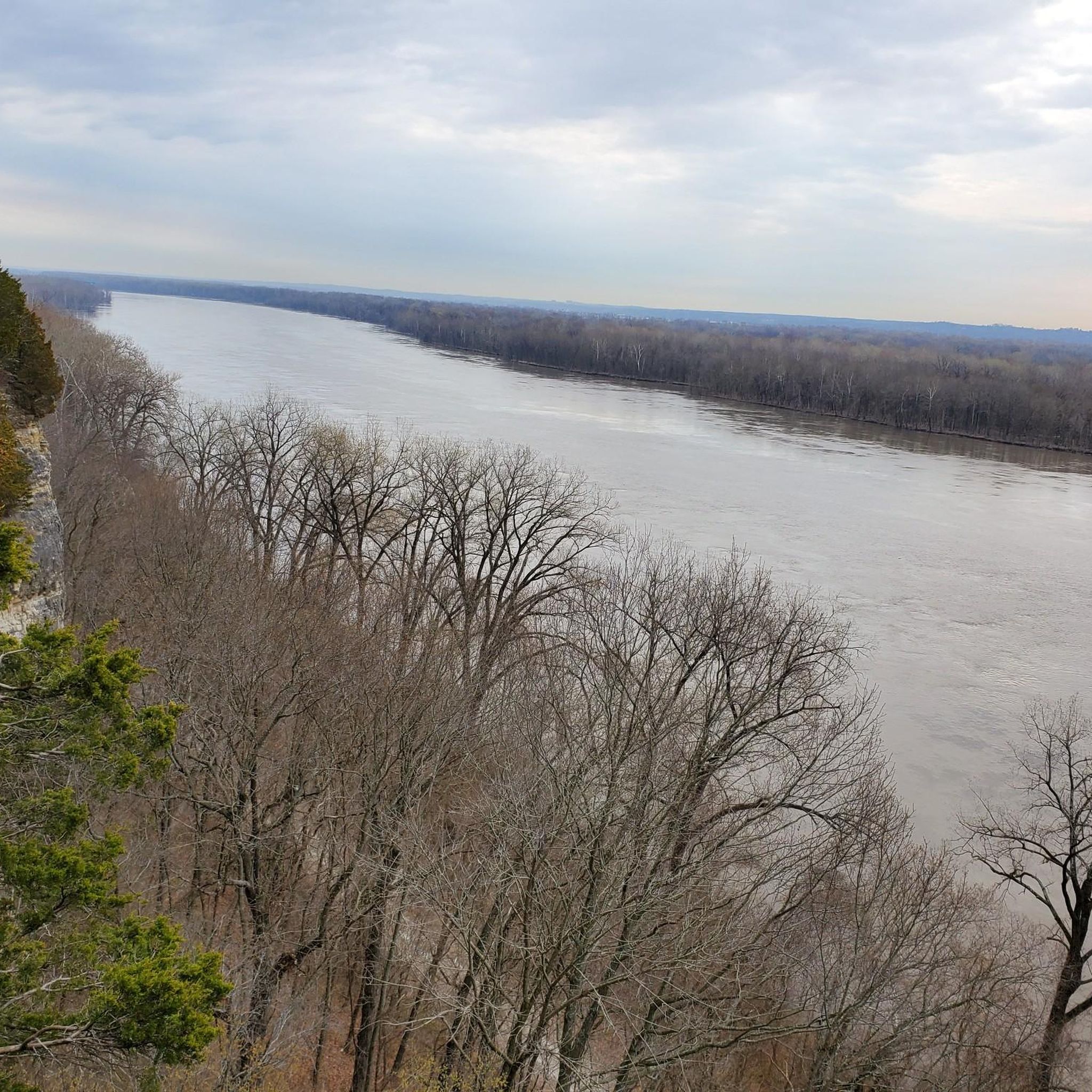
This is a paved trail that runs on top of the Levee that protects the Chesterfield Valley from the flood waters of the Missouri River. It is well-used and you can expect to encounter other cyclists, runners, in line skaters, and folks just out for a walk. The Monarch Levee Trail is linked to the World Famous KATY Trail via a separated bike lane on the Interstate 64 bridge across the Missouri River. There are plenty of parking areas along the trail length. I chose the trail head parking off of the Centaur Road. Expect to see wildlife such as foxes, turkey, deer, raccoons, and other critters mainly on the river side of the trail. On the Valley side is an airport, outlet mall, shopping centers, and entertainment venues. If you are looking for a peaceful serene ride this is NOT it. On a historical note, this levee was built after the devastating floods of 1993. This levee is nearly twice as high as the original levee. If you can imagine when you are looking out over the valley, the airport and all the buildings there, that in 1993 there was nearly 20 feet of water covering all of it! Rescue personnel used the interstate, which crosses the valley, as a boat ramp. All in all this is a well maintained wide trail that you will enjoy riding.
0
0
During a recent ride on the Monarch Levee Trail, I wanted to explore Howell Island. The map shows that there is a road/trail there HOWEVER, it is gone. The once low water crossing has been entirely removed and replaced with huge stone "rip rap" in its place. So if you are really wanting to see howell island then you will have to cross this large stone rip rap. You will need good hiking shoes and you will need to be very nimble to cross this area. Sorry no pictures, my camera did not save the pictures I "thought" I took of the area.
0
0
The Monarch Trail does not go all the way around the Chesterfield Valley unfortunately. It ends towards the East end of the valley right next to the Top Golf Facility. Beyond this point, it is private property. The Komoot Map shows the roads here as private, which is very true. They have no trespassing signs everywhere.
0
0
Had to include this very unusual find. I am assuming that this was a family cemetery and when the new levee, on top of which this bike trail runs, was built it must been over the old cemetery. So they relocated the cemetery to the top of the levee. These are very old, dating back to the 1890's. Be respectful and do not desecrate this place.
0
0
One of 3 major highway bridges over the Missouri between Weldon and St Charles, MO. The KATY trail through here is as smooth as concrete and the scenery is beautiful!
1
0

Greensfelder County Park has about 30 miles of trails that are accessible for mountain biking. The most popular loop is a challenging ride of with steep climbs and rock gardens with a good balance of flow along the Dogwood, Declue, Greenrock and Eagle Valley trails.
1
0

Here you will reach a historic iron bridge that spans over Femme Osage Creek just before entering Defiance. This is a particularly significant part of the Katy Trail, adding to its historical charm.
0
0
Frequently Asked Questions
What types of terrain can I expect on touring cycling routes in Dr. Edmund A. Babler Memorial State Park?
The park offers a diverse cycling experience, featuring both paved sections and paths that wind through verdant foliage. You'll encounter an "Ozark Border landscape" with rugged, rocky hills and ridges, as well as extensive old-growth forests. Some routes, like the Bike loop from Dr. Edmund A. Babler Memorial State Park, provide varied terrain within this natural setting.
Are there any easy touring cycling routes suitable for beginners or families?
Yes, Dr. Edmund A. Babler Memorial State Park has several easy touring cycling routes. For instance, the Monarch Levee Trail – Chesterfield Settlers Cemetery loop from Monarch-Chesterfield Levee Trail Parking is an easy 16.4-mile path that offers pleasant views and passes historical features. The park's Paved Bicycle Trail is also known for being smooth and accessible, ideal for a relaxed ride.
What are some notable landmarks or natural features to look out for while cycling in the park?
While cycling, you can experience the park's rich history and natural beauty. The Paved Bicycle Trail winds past a small cemetery and descends through a 1930s Civilian Conservation Corps (CCC) built tunnel. You'll also pass Crystal Spring, one of two continuously flowing springs. The park is characterized by towering old-growth forests, narrow coves, and deep sheltered valleys, with Bonhomme Creek and Wild Horse Creek forming its western boundary.
How long are the touring cycling routes in Dr. Edmund A. Babler Memorial State Park?
The routes vary significantly in length. You can find shorter loops, such as the Bike loop from Dr. Edmund A. Babler Memorial State Park, which is about 6.3 miles (10.1 km). Longer options include the Katy Trail – Frontier Park loop from Monarch Chesterfield Levee Trail Parking, extending to nearly 50 miles (79.5 km).
What is the best time of year to go touring cycling in Dr. Edmund A. Babler Memorial State Park?
The park is beautiful year-round, but the changing foliage in the fall offers a particularly vibrant spectacle, making it an excellent time for scenic rides. Spring and early summer also provide pleasant conditions with lush greenery. Consider visiting during milder weather to fully enjoy the diverse landscapes.
Are there any circular touring cycling routes available?
Yes, many of the touring cycling routes in the park are designed as loops. A popular option is the Bike loop from Dr. Edmund A. Babler Memorial State Park, which allows you to start and end at the same point within the park's natural setting.
What are the difficulty levels of the touring cycling routes in the park?
The park offers a range of difficulty levels to suit various cyclists. You'll find easy paths, such as the Monarch Levee Trail – Katy Trail loop from Monarch-Chesterfield Levee Trail Parking, which is 14.9 miles and considered easy. There are also moderate routes, and even a difficult option like the Greensfelder Park – Rockwoods Reservation loop from Monarch-Chesterfield Levee Trail Parking for more experienced riders.
What do other touring cyclists enjoy most about Dr. Edmund A. Babler Memorial State Park?
The area is highly rated by the komoot community, with an average score of 4.9 stars from 13 reviews. Reviewers often praise the park's varied terrain, the beauty of its old-growth forests, and the peaceful atmosphere it offers as a green-space oasis near St. Louis.
Is there parking available for cyclists at Dr. Edmund A. Babler Memorial State Park?
Yes, parking is available. Many routes, such as the Monarch Levee Trail – Chesterfield Settlers Cemetery loop, start from designated parking areas like the Monarch-Chesterfield Levee Trail Parking, providing convenient access to the trails.
Are there any facilities or amenities within Dr. Edmund A. Babler Memorial State Park?
The park offers various amenities. You'll find picnic areas, a playground, and camping facilities with 135 sites, some with electric hookups. The River Hills Visitor Center provides exhibits on the park's plant and animal life. Historically significant structures built by the Civilian Conservation Corps (CCC) in the 1930s, including a stone lodge, are also present.
Can I bring my dog on the touring cycling trails?
While the park is generally dog-friendly for hiking, specific regulations may apply to cycling trails. It's always best to check the official park rules regarding pets on bicycle trails to ensure compliance and a pleasant experience for everyone. Dogs are typically required to be on a leash.
What kind of wildlife might I see while cycling in the park?
Dr. Edmund A. Babler Memorial State Park is home to diverse wildlife. Cyclists might spot white-tailed deer, rabbits, and foxes. The park's rich habitats, including old-growth forests and areas along Bonhomme Creek and Wild Horse Creek, support a variety of birds, making it an excellent spot for birdwatching as well.
Most popular routes in Dr. Edmund A. Babler Memorial State Park

Get inspired with the komoot mobile app


Explore more
Browse the best Cycling routes in other regions.
