The best running trails in Briones Regional Park
4.5
(65)
2,073
runners
147
runs
Jogging in Briones Regional Park offers access to over 6,000 acres of rolling hills and oak-dotted grasslands in California's East Bay. The park features a diverse network of trails, primarily old fire roads, suitable for various fitness levels. Joggers can experience varied terrain, from moderate paths to steep climbs, with many routes providing panoramic views of Mount Diablo, the Sacramento River Delta, and the San Francisco Bay Area. Briones Peak, the highest point, provides expansive vistas across the region.
Best…
Last updated: October 10, 2026
43
runners
21.1km
02:22
500m
500m
Hard run. Very good fitness required. Mostly accessible paths. Some sure footedness required.
1
runners
10.7km
01:22
300m
300m
Moderate run. Good fitness required. Mostly paved surfaces. Suitable for all skill levels.

13
runners
Moderate run. Good fitness required. Mostly paved surfaces. Suitable for all skill levels.
8
runners
8.79km
00:55
60m
60m
Moderate run. Good fitness required. Mostly paved surfaces. Suitable for all skill levels.
6
runners
Hard run. Very good fitness required. Mostly paved surfaces. Suitable for all skill levels.
Get access to more routes and recommendations from other explorers.
Already have an account?
Our route recommendations are based on thousands of hikes, rides, and runs completed by other people on komoot.
Start today with a free account
Your next adventure awaits.

Tips from the Community

The Lafayette-Moraga Regional Trail is a 7.65-mile paved path for hiking, biking, and horseback riding, open from 5 a.m. to 10 p.m. daily. Paralleling St. Mary's Road, the trail connects Lafayette and Moraga, passing through the scenic Moraga Valley. It is a historical route for mule and steam trains transporting redwood lumber. The trail starts at Olympic Boulevard in Lafayette and ends at the Valle Vista staging area near the San Leandro Reservoir. Along the way, it links to schools, parks, and commercial areas and is maintained by the East Bay Regional Park District.
0
0
The Lafayette-Moraga Regional Trail is a 7.65-mile paved path for hiking, biking, and horseback riding, open from 5 a.m. to 10 p.m. daily. Paralleling St. Mary's Road, the trail connects Lafayette and Moraga, passing through the scenic Moraga Valley. It is a historical route for mule and steam trains transporting redwood lumber. The trail starts at Olympic Boulevard in Lafayette and ends at the Valle Vista staging area near the San Leandro Reservoir. Along the way, it links to schools, parks, and commercial areas and is maintained by the East Bay Regional Park District.
0
0

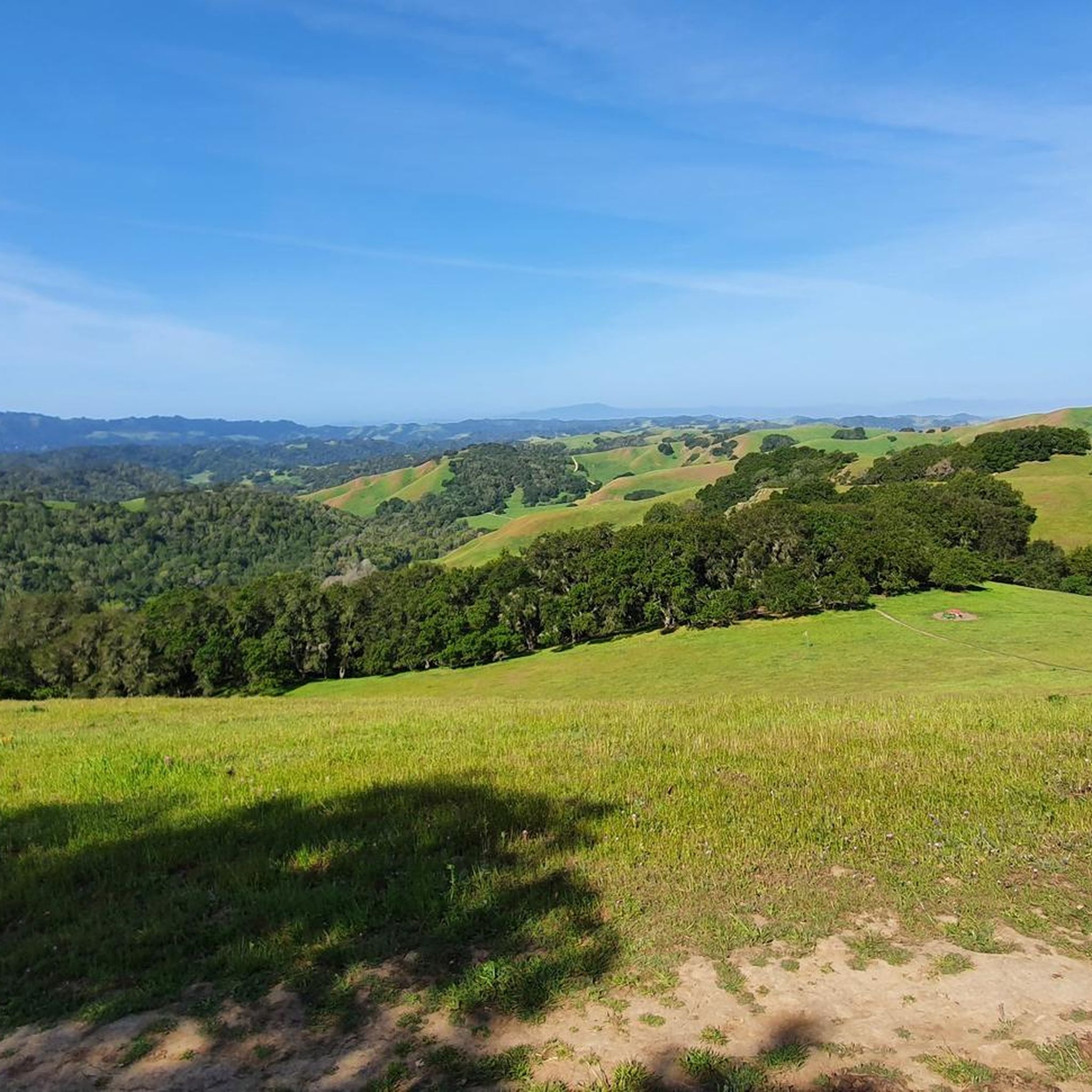
Eastern trailhead to the vast network of hiking trails all over the ridges and valleys of this stunning regional park
1
0

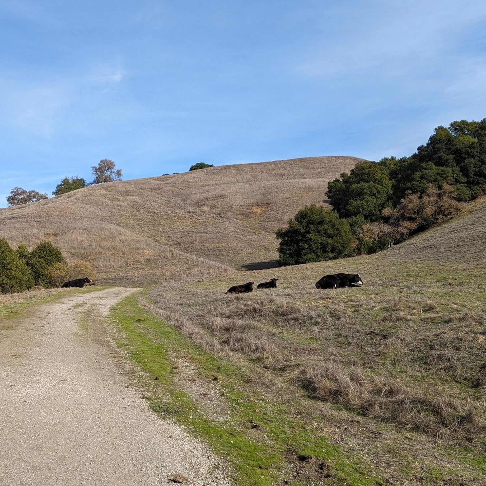
You can continue on Lafayette Ridge Trail from here if you're up for some more adventure. The route connects to Briones Crest Trail, offering multiple miles of riding opportunities to explore the vast and beautiful Briones Park.
0
0
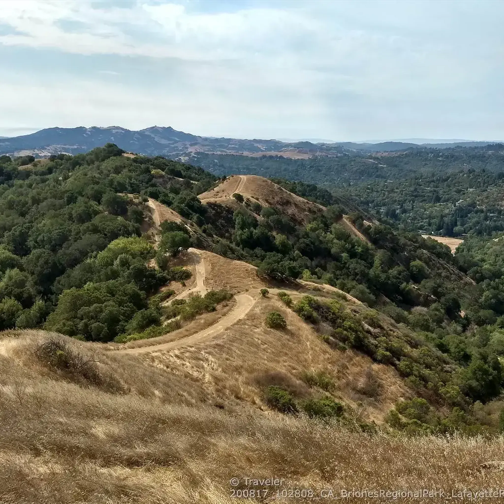
The fire road on the ridge is a steep up-and-down trail with sweeping surrounding views.
1
0
The fire road on the ridge is a steep up-and-down trail with sweeping surrounding views.
0
0
Staging area for hikers, bikers and equestrians to start on the Lafayette-Moraga Trail.
1
0

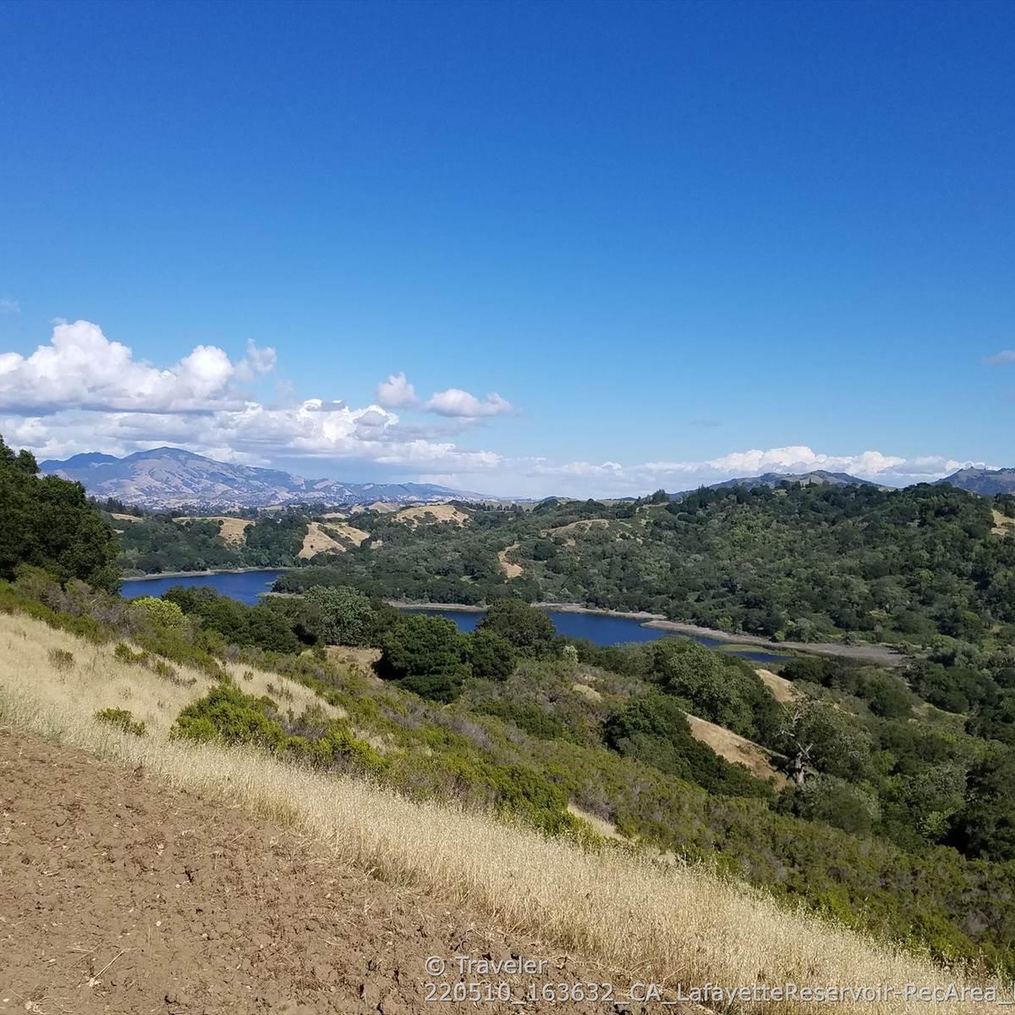
This trail runs along the southern shore of the Briones Reservoir, providing stunning views throughout the journey. Along the way, you'll encounter several benches, creating ideal spots for a rest or to simply gaze upon the beauty.
0
0
Frequently Asked Questions
How many running routes are available in Briones Regional Park?
Briones Regional Park offers a wide selection of over 110 running routes. These range from easy paths to challenging trails, catering to various fitness levels.
What kind of terrain can I expect on the jogging trails in Briones Regional Park?
The park is characterized by its rolling, grassy hills and oak-dotted grasslands. You'll find a mix of wide fire roads and some single-track options. Trails vary from relatively flat sections to moderate and steep climbs, with uneven terrain in places. Much of the park is exposed, offering continuous scenic views.
Are there any routes with significant elevation gain for a challenging run?
Yes, many routes offer significant elevation gain. For instance, the Briones Reservoir loop via Bear Creek Trail is a difficult 13.1-mile run with over 500 meters of elevation gain. Another challenging option is the Lafayette Ridge Trailhead – Briones Crest Trail loop, which covers 9.5 miles with over 500 meters of ascent.
What are the best times of year to go running in Briones Regional Park?
Briones Regional Park is popular year-round, but it's particularly beautiful from February through May when the grass is green and wildflowers are in bloom. During summer, trails can be very hot due to limited shade, so it's advisable to bring plenty of water and wear sunscreen. After heavy rain, some trails can become very muddy.
Are there any family-friendly running options in the park?
While many trails feature moderate to steep climbs, there are options suitable for families looking for a less strenuous run. Look for routes described as 'moderate' or 'easy' on komoot, which often have less elevation gain and more even paths. The park's diverse trail system allows for choosing paths that match your family's comfort level.
Can I bring my dog on the running trails?
Yes, Briones Regional Park is generally dog-friendly. However, it's always best to check specific trail regulations and ensure your dog is on a leash as required. The park is home to wildlife and also has cattle grazing in some areas, so leash laws are important for safety.
What kind of views or landmarks can I expect to see while jogging in Briones Regional Park?
From the park's rolling hills and especially from Briones Peak, you can enjoy panoramic views of Mount Diablo, the Sacramento River and Delta, the Berkeley Hills, Mount Tamalpais, and even the San Francisco Bay Area. The Table Top overlook is a notable viewpoint. You'll also encounter oak-dotted grasslands and potentially wildlife like deer and hawks.
Are there any circular running routes in Briones Regional Park?
Yes, many of the park's trails are designed as loops, offering varied scenery without retracing your steps. Popular circular routes include the Ivan Dickson Trail Loop and the Briones Reservoir View loop from Russell Research Station.
Where can I park when visiting Briones Regional Park for a run?
The park offers several access points with parking. Key trailheads include the Lafayette Ridge Trailhead, Bear Creek Trailhead, and Pleasant Hill Trailhead. These provide convenient starting points for various running routes.
What do other runners enjoy most about jogging in Briones Regional Park?
The area is highly rated by the komoot community, with an average score of 4.4 stars from over 17 reviews. Runners often praise the expansive landscapes, diverse trails, and the panoramic views from the ridge tops. The variety of terrain, from open grasslands to oak-dotted sections, also contributes to a rewarding running experience.
Are there any specific natural features like lagoons or water bodies along the running trails?
Yes, the park features natural attractions such as Maricich and Sindicich Lagoons. These ponds support a variety of bird, amphibian, and insect life, and are particularly beautiful during the spring wildflower season, adding a serene element to your run.
What wildlife might I encounter while running in Briones Regional Park?
Briones Regional Park is home to diverse wildlife. While running, you might spot black-tailed deer, coyotes, squirrels, and various bird species like red-tailed hawks and turkey vultures. More elusive cougars also inhabit the park, so it's always good to be aware of your surroundings.
Most popular routes in Briones Regional Park
Most popular attractions in Briones Regional Park

Get inspired with the komoot mobile app


Explore more
Browse the best Running Trails & Routes in other regions.
