The best road cycling routes in Wildcat Canyon Regional Park
4.5
(231)
8,064
riders
115
rides
Road cycling in Wildcat Canyon Regional Park offers routes through rolling hills, canyons, and open grasslands, providing varied terrain for cyclists. The park features paved roads and fire trails suitable for road bikes, with elevations that offer panoramic views of the San Francisco Bay and surrounding areas. Cyclists can expect a mix of climbs and descents, traversing landscapes that include eucalyptus groves and native oak woodlands. The region's topography provides a diverse experience, from gentle slopes to more challenging ascents.
…Last updated: July 22, 2026
5.0
(1)
68
riders
28.7km
01:32
550m
550m
Moderate road ride. Good fitness required. Mostly well-paved surfaces and easy to ride.
39
riders
17.6km
00:52
250m
250m
Easy road ride. Great for any fitness level. Mostly well-paved surfaces and easy to ride.

Sign up for free
4.8
(4)
30
riders
39.2km
02:07
710m
710m
Moderate road ride. Good fitness required. Mostly well-paved surfaces and easy to ride.
23
riders
13.2km
00:42
220m
220m
Easy road ride. Great for any fitness level. Mostly well-paved surfaces and easy to ride.
5
riders
32.2km
01:22
160m
160m
Embark on an easy road cycling adventure along the Ohlone Greenway and Bay Trail Loop, a 20.0 miles (32.2 km) route that offers varied scenery and a gentle 509 feet…
Get access to more routes and recommendations from other explorers.
Sign up for free
Already have an account?
Our route recommendations are based on thousands of hikes, rides, and runs completed by other people on komoot.
Start today with a free account
Your next adventure awaits.
Login or Signup

Tips from the Community

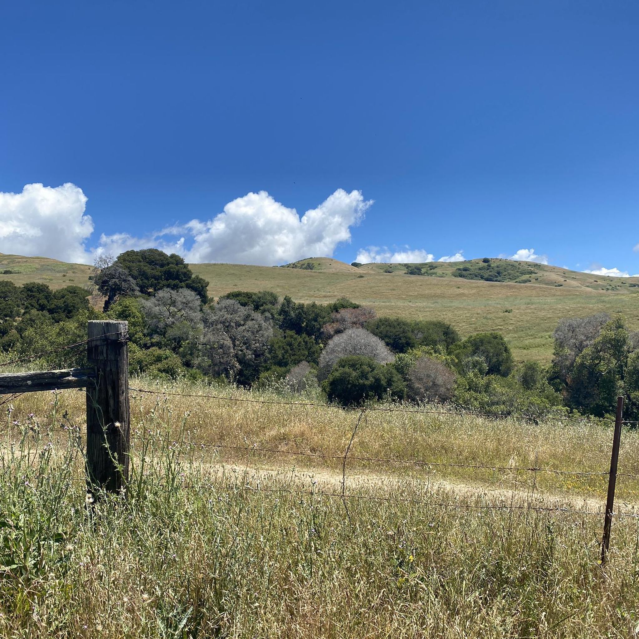
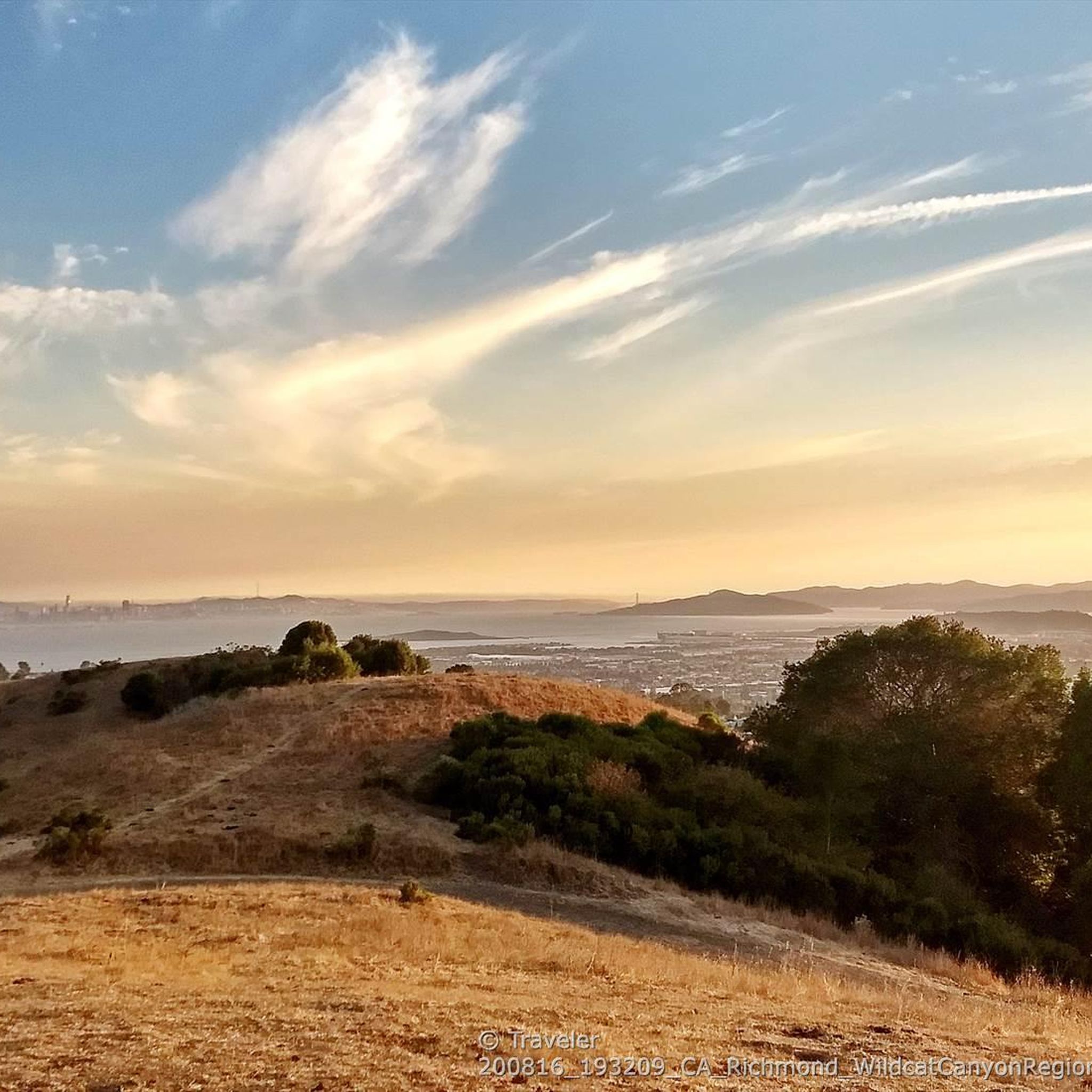
This road parallels the ridgeline above and have great views over the bay and surrounding hills.
0
0


The reservoir is a definite scenic highlight, and you can expect to see plenty of people kayaking, fishing, and hiking on and off the water. San Pablo Dam Road takes you to a couple different boat launches and picnic areas with views of the water. Old San Pablo Dam Road is more scenic and winds along the shore, but the surface is quite old and, while technically paved, is really better suited for a gravel bike.
0
0
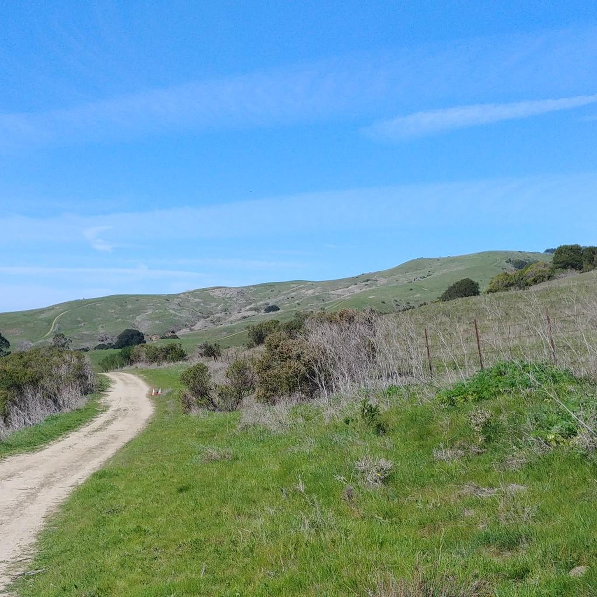
This is a delightful, flowy, mostly shaded route through the canyon with fantastic views through the trees and a few overlooks and picnic spots to pull over and soak in the views.
0
0

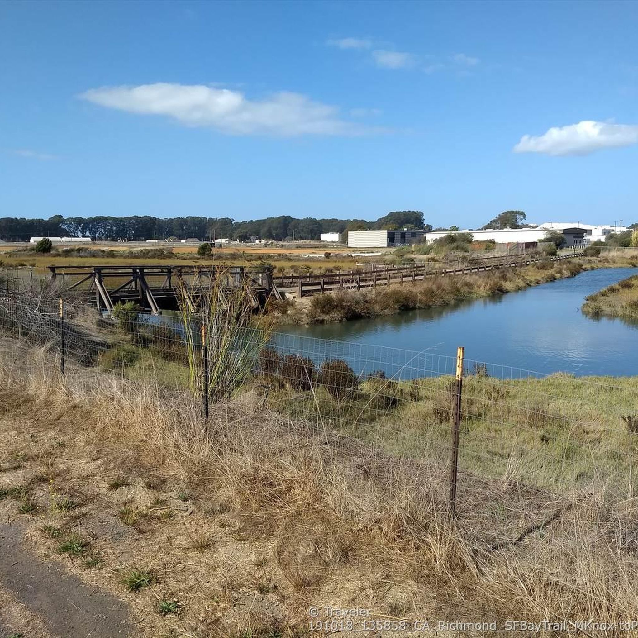
Point Isabel Regional Shoreline Park is a multi-use park for for joggers, windsurfers, kayakers, photographers, picnickers, and dog walkers. Spanning 50 acres, this park was formerly a landfill but underwent a clay-capping operation in the 1980s, transforming it into a secure and environmentally safe public space.
1
1
The Ohlone Greenway is a paved bike trail, positioned away from roads and traffic. It predominantly follows the BART in a North-South direction, linking the East Bay cities of Richmond, El Cerrito, Albany, and Berkeley.
0
2
With the slogan "UC Berkeley pushes the boundaries of knowledge, challenges convention and expands opportunity to create the leaders of tomorrow." this university also has a gorgeous campus. It is also a tougher school to get accepted to having an acceptance of 14.8%.
0
0
Frequently Asked Questions
What is the difficulty range of road cycling routes in Wildcat Canyon Regional Park?
Wildcat Canyon Regional Park offers a variety of road cycling routes suitable for different skill levels. You'll find easy loops, such as the 8.0-mile "Roadbike loop from Kensington," as well as more challenging moderate routes with significant elevation gain, like the "Inspiration Point Overlook – Lafayette loop from Kensington." Overall, there are 48 easy, 55 moderate, and 20 difficult routes available.
What are the typical distances for road cycling routes in Wildcat Canyon Regional Park?
Routes vary in length, catering to different preferences. You can find shorter rides, such as the Roadbike loop from Kensington at 8.0 miles (12.8 km), or longer excursions like the Inspiration Point Overlook – Lafayette loop from Kensington, which spans 26.6 miles (42.8 km). The park also features routes extending up to 57 miles (92 km) for those seeking a longer challenge.
Are there family-friendly road cycling routes in Wildcat Canyon Regional Park?
Yes, for families or those seeking a gentler ride, routes like the Ohlone Greenway and Bay Trail Loop offer an easy 20-mile (32.2 km) experience with minimal elevation gain. The park's paved sections and fire trails also provide accessible options for a pleasant family outing.
When is the best time of year to go road cycling in Wildcat Canyon Regional Park?
The San Francisco Bay Area generally offers pleasant cycling weather year-round. Spring and fall are particularly ideal, with mild temperatures and clear skies. Summer can be warm, especially inland, but coastal breezes often keep conditions comfortable. Winters are typically mild and wet, so be prepared for rain if cycling during this season.
Which road cycling routes offer the best scenic viewpoints?
Many routes in Wildcat Canyon Regional Park provide stunning views. The Inspiration Point Overlook – Lafayette loop from Kensington is known for its scenic vistas. Additionally, the park features a dedicated 360-degree viewpoint, which can be incorporated into various rides, offering panoramic views of the San Francisco Bay and surrounding hills.
What can I see along the road cycling routes in Wildcat Canyon Regional Park?
Beyond the expansive views of the San Francisco Bay, you can explore various natural features. Cyclists often encounter eucalyptus groves, native oak woodlands, and open grasslands. The park also features trails like the Wildcat Creek Trail and Havey Canyon Trail, which offer glimpses into the park's diverse ecosystems.
Are there any interesting landmarks or points of interest in Wildcat Canyon Regional Park?
Yes, the park is home to several points of interest. Besides the scenic overlooks, you can explore areas around Wildcat Creek, which runs through the canyon. The Conlon Trail also offers access to different parts of the park, providing varied landscapes to discover.
What do other road cyclists enjoy the most about road cycling in Wildcat Canyon Regional Park?
The area is highly rated by the komoot community, with an average score of 4.6 stars from over 200 reviews. Reviewers often praise the diverse terrain, which includes rolling hills and open grasslands, as well as the stunning panoramic views of the San Francisco Bay. The mix of challenging climbs and gentle descents also contributes to a varied and enjoyable cycling experience.
How many road cycling routes are there in Wildcat Canyon Regional Park?
There are over 120 road cycling routes available in Wildcat Canyon Regional Park, offering a wide range of options for cyclists of all abilities.
Can I reach Wildcat Canyon Regional Park by public transport for road cycling?
Wildcat Canyon Regional Park is accessible via public transport, primarily through AC Transit bus lines that serve the surrounding communities. Specific bus routes may drop you near park entrances, allowing for convenient access to the cycling trails. It's advisable to check the latest AC Transit schedules and route maps for the most current information.
Where can I park when visiting Wildcat Canyon Regional Park for road cycling?
The park offers several parking areas at its main entrances, including the one off Wildcat Canyon Road in Richmond and the one near the Clark Road entrance in El Sobrante. These parking lots provide convenient access to various trailheads, making it easy to start your road cycling adventure.
Are there cafes or places to refuel near the road cycling routes?
While Wildcat Canyon Regional Park itself is primarily natural open space, the surrounding towns of Kensington, El Sobrante, and Richmond offer various cafes, delis, and grocery stores where you can refuel before or after your ride. These towns are typically a short ride from the park's main entrances.
Most popular routes in Wildcat Canyon Regional Park
Most popular attractions in Wildcat Canyon Regional Park

Get inspired with the komoot mobile app


Explore more
Browse the best Road cycling routes in other regions.
