The best cycling routes in Ilm-Kreis
4.5
(7645)
30,639
riders
1,152
rides
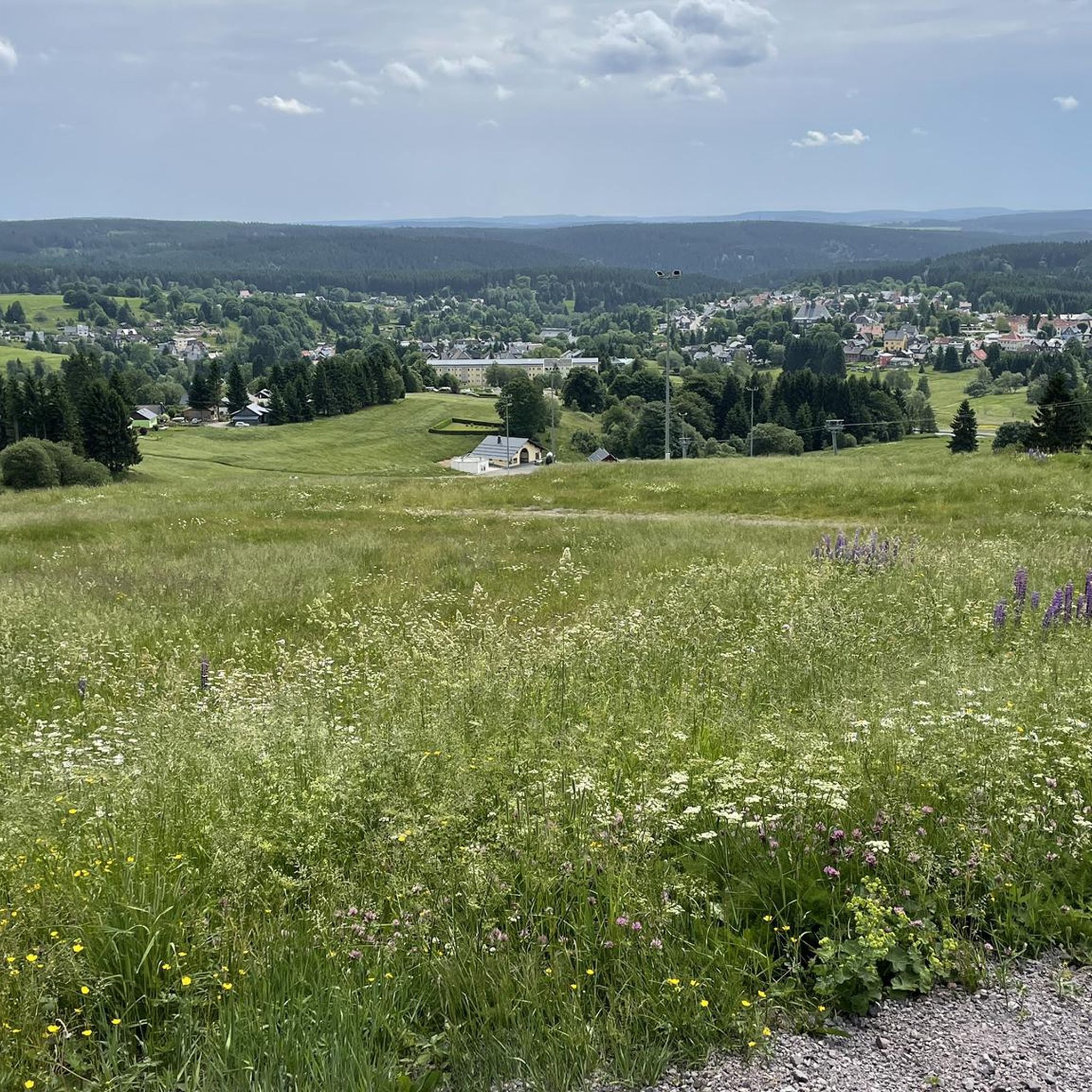
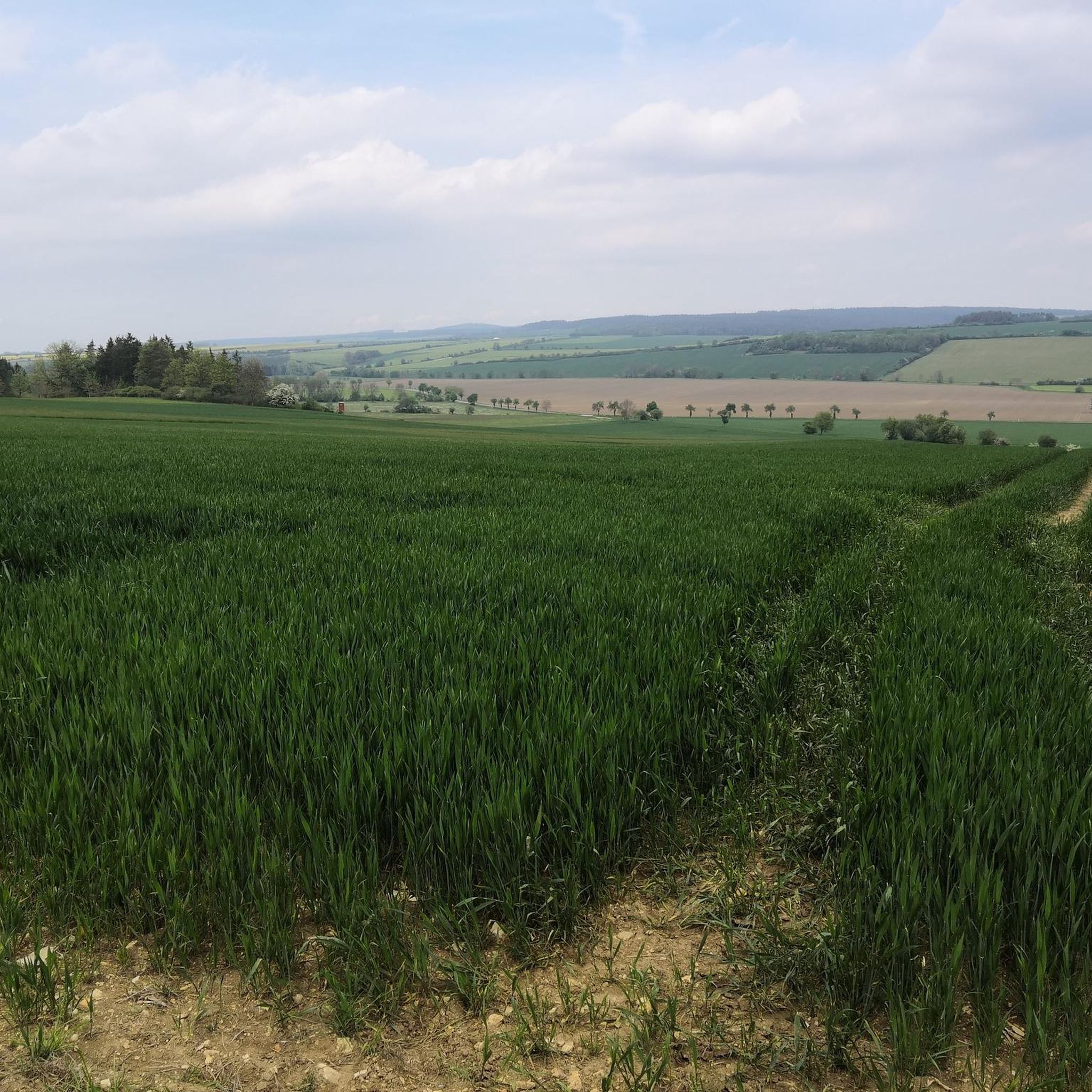
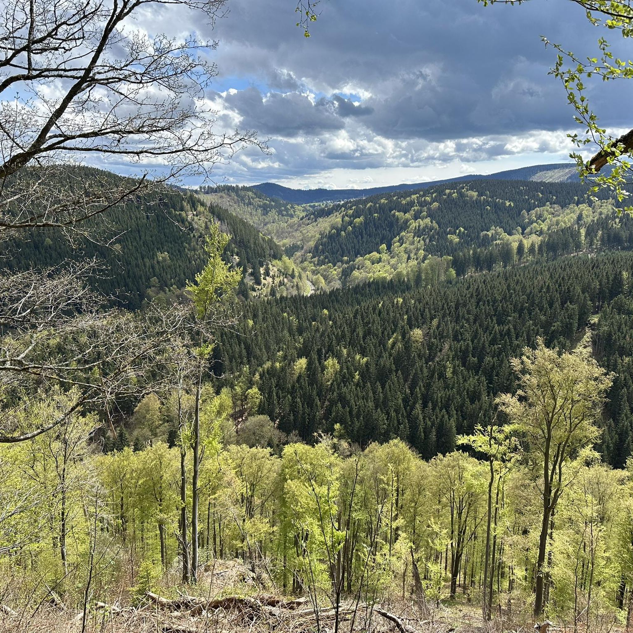
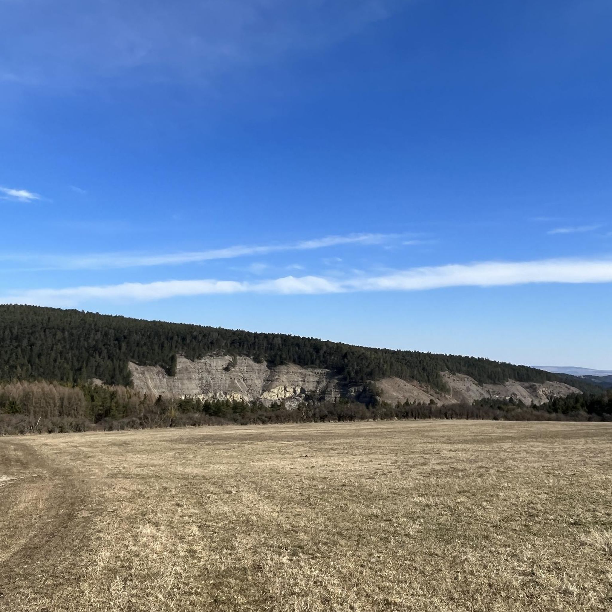
Touring cycling in Ilm-Kreis offers diverse landscapes across the heart of Thuringia, Germany. The region features a mix of rolling hills, dense forests, and river valleys, providing varied terrain for cyclists. Elevations range from agricultural lowlands in the north to the higher reaches of the Thuringian Forest in the south, including limestone plateaus. The Ilm river carves through the landscape, creating scenic routes along its valley.
Best touring cycling routes in Ilm-Kreis
- The most popular touring cycling route is View…
Last updated: September 29, 2026
4.7
(202)
586
riders
Hard bike ride. Good fitness required. You may need to push your bike for some segments of this route.
4.7
(126)
376
riders
54.2km
03:27
440m
440m
Moderate bike ride. Good fitness required. Mostly paved surfaces. Suitable for all skill levels.

4.7
(98)
328
riders
63.9km
03:49
420m
420m
Moderate bike ride. Good fitness required. Mostly paved surfaces. Suitable for all skill levels.
4.5
(75)
337
riders
Moderate bike ride. Good fitness required. Mostly paved surfaces. Suitable for all skill levels.
4.7
(93)
306
riders
66.8km
04:04
470m
470m
Hard bike ride. Very good fitness required. Mostly paved surfaces. Suitable for all skill levels.
4.8
(99)
317
riders
45.8km
03:09
630m
630m
Hard bike ride. Very good fitness required. Mostly paved surfaces. Suitable for all skill levels.
4.8
(91)
286
riders
47.4km
03:14
570m
570m
Hard bike ride. Very good fitness required. Mostly paved surfaces. Suitable for all skill levels.
4.9
(90)
284
riders
22.1km
01:44
440m
440m
Moderate bike ride. Good fitness required. Mostly paved surfaces. Suitable for all skill levels.
4.7
(103)
323
riders
35.1km
02:06
260m
260m
Moderate bike ride. Good fitness required. Mostly paved surfaces. Suitable for all skill levels.
4.7
(104)
311
riders
22.6km
01:22
140m
140m
Easy bike ride. Great for any fitness level. Mostly paved surfaces. Suitable for all skill levels.
Get access to more routes and recommendations from other explorers.
Already have an account?
Our route recommendations are based on thousands of hikes, rides, and runs completed by other people on komoot.
Start today with a free account
Your next adventure awaits.
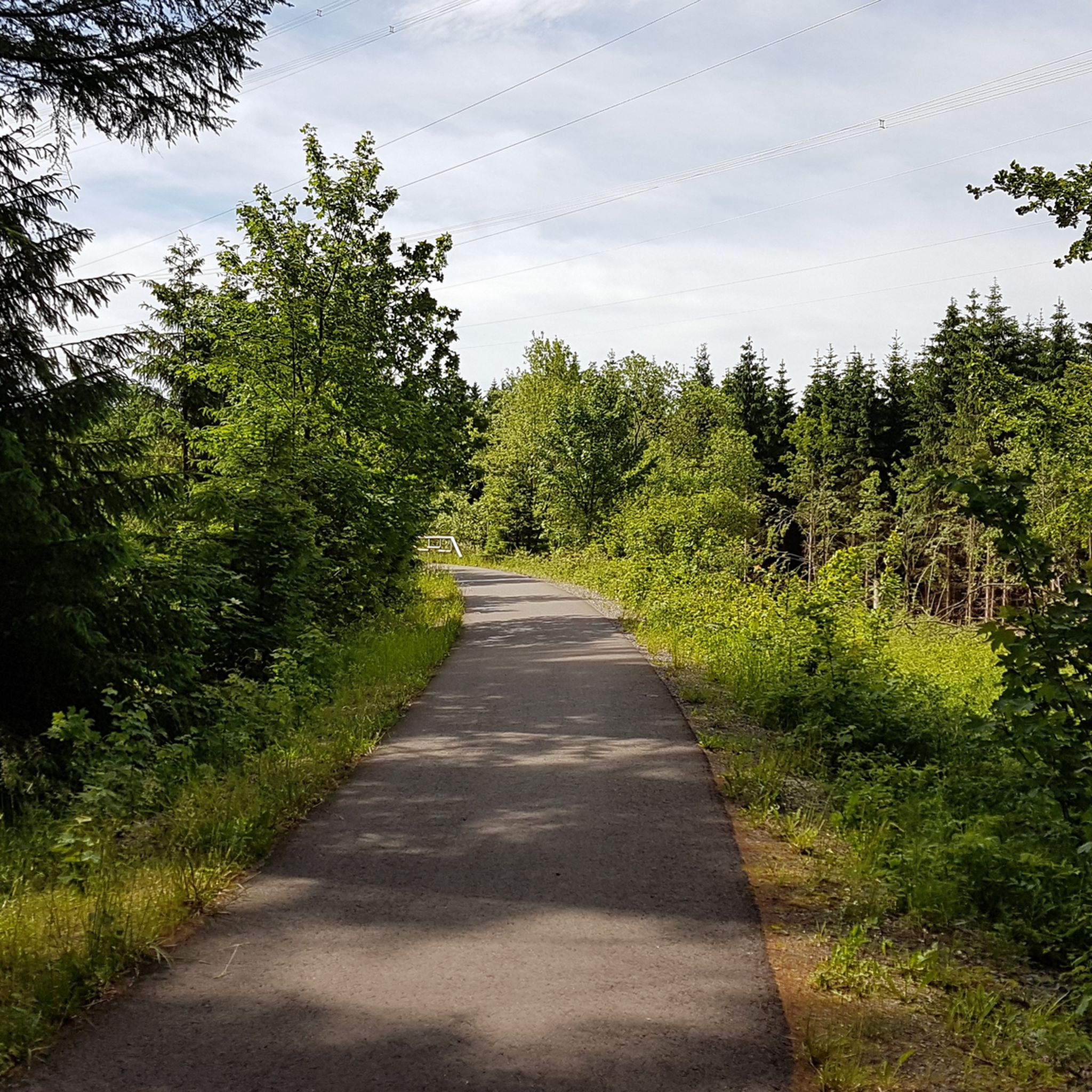
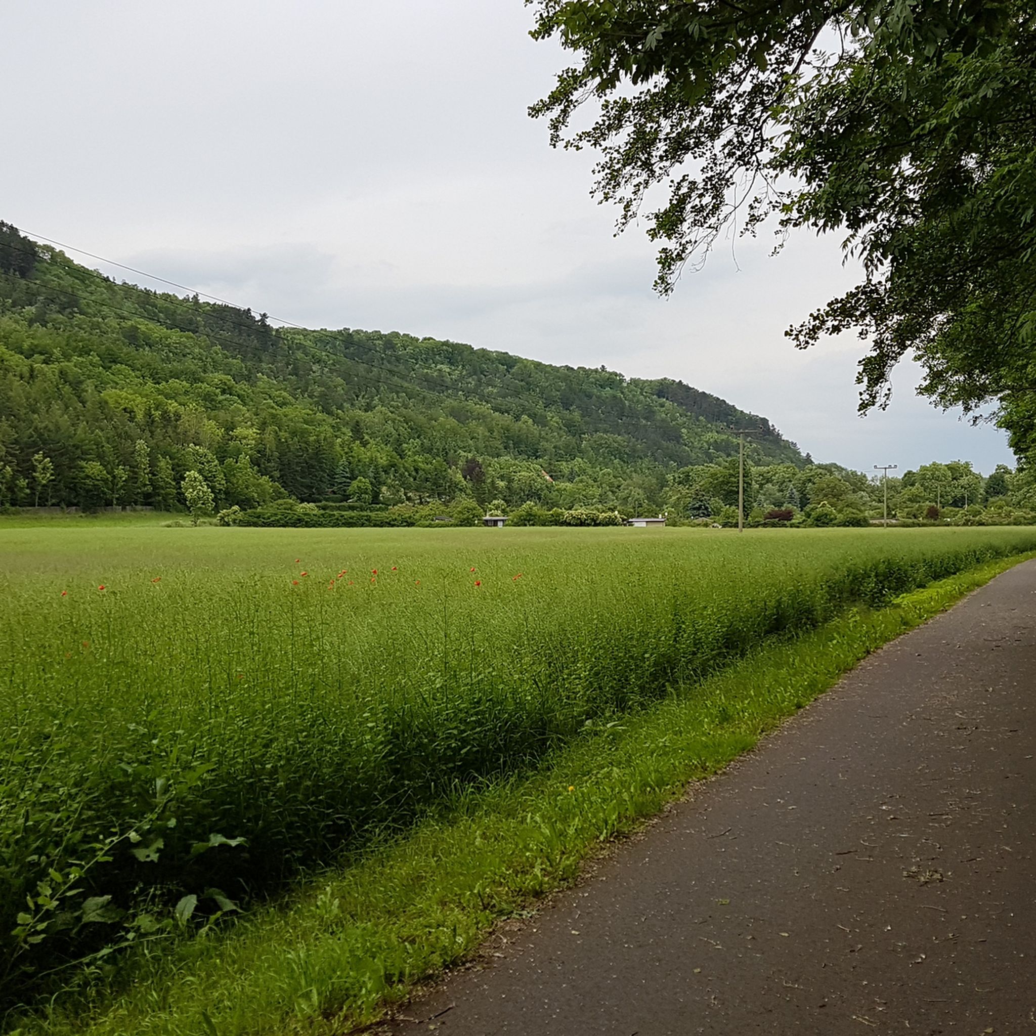
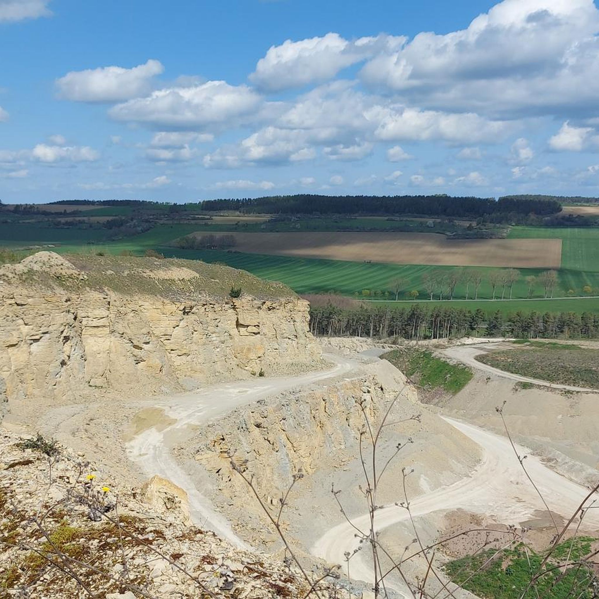
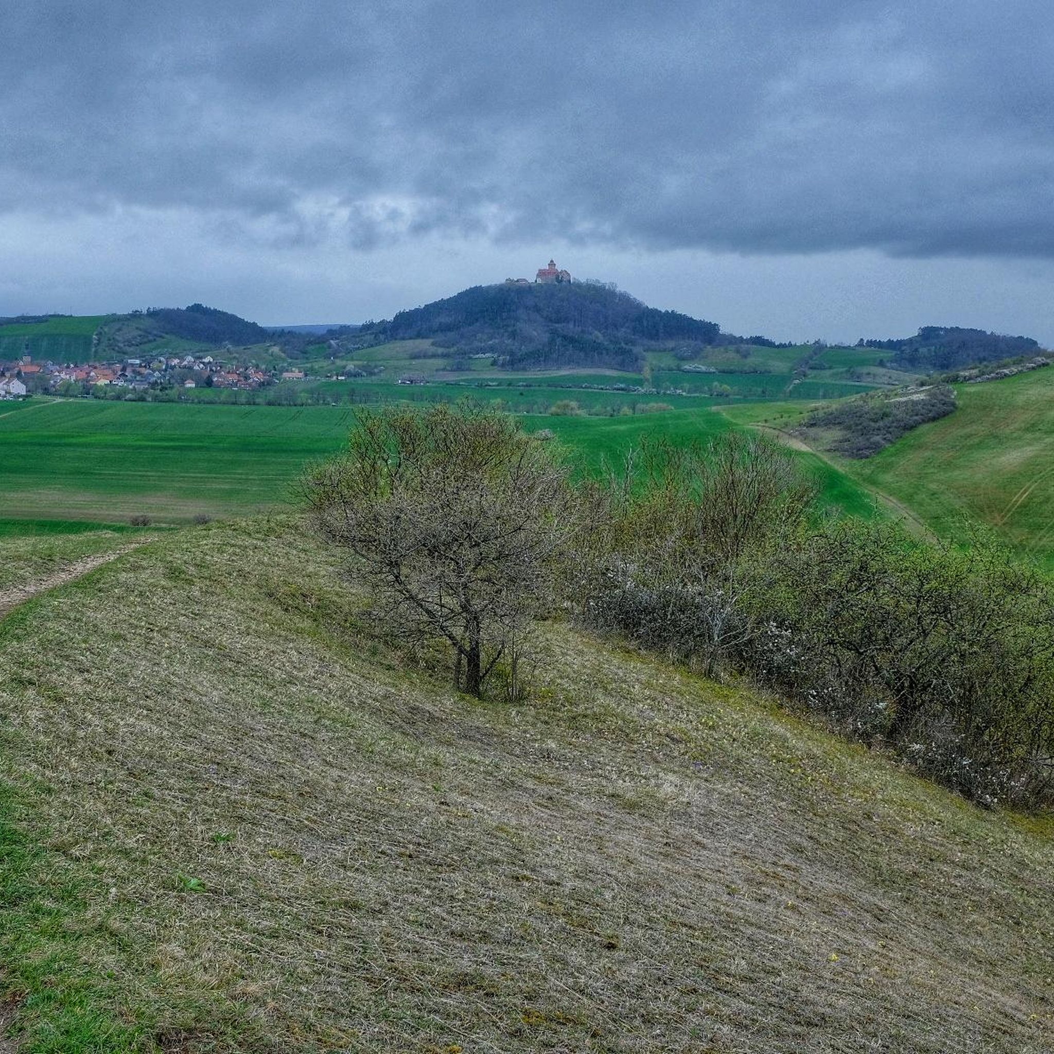
Other adventures in Ilm-Kreis


Tips from the Community

Top location on the Rennsteig: The proximity to the famous ridge trail allows for a combination of forest descents and ridge tours. Varied topography: Steep ascents from the Tannengrund or Reuscheltal demand stamina, but reward with brisk descents. Nature experience: The reservoir, with its bays, is reminiscent of a small fjord landscape in the middle of the dense low mountain forest. Tour combinations: Perfect as a stopover or turning point for larger loops, which often start in Schleusingen or Masserberg.
3
0
The Schönbrunn dam is located in the southern Thuringian Forest in the municipality of Schleusegrund (Hildburghausen district, Thuringia). It was commissioned in 1977. The dam is located about 20 kilometers south of Ilmenau and 15 kilometers northeast of Schleusingen. The river Schleuse is dammed. Source: https://de.wikipedia.org/wiki/Talsperre_Sch%C3%B6nbrunn#:~:text=Die%20Talsperre%20Sch%C3%B6nbrunn%20liegt%20im,Gestaut%20wird%20der%20Fluss%20Schleuse.
3
0
The Schönbrunn dam in the Thuringian Forest is attractive for mountain biking due to its charming combination of idyllic, flat shore paths and challenging, hilly ascents in the surrounding mountainous terrain around the Rennsteig. The circuit offers constant views of the blue water of the reservoir and the forest-rich heights of the Thuringian Forest.
3
0

The water of the Gera still flows underneath, but the mill wheel is missing.
0
0


Easy to drive, partly asphalted route
0
0

Beautiful cycle path with little traffic
1
0

Frequently Asked Questions
How many touring cycling routes are available in Ilm-Kreis?
Ilm-Kreis offers a wide variety of touring cycling routes, with over 1,100 options recorded on komoot. These routes cater to all skill levels, from easy riverside paths to more challenging climbs through the Thuringian Forest.
What kind of terrain can I expect when touring cycling in Ilm-Kreis?
The region features a diverse landscape, ranging from the rolling hills and dense forests of the Thuringian Forest in the south to the agricultural lowlands in the north. You'll encounter limestone plateaus, scenic river valleys like the Ilm, and significant elevations such as the Schneekopf and Kickelhahn, offering varied experiences for touring cyclists.
Are there touring cycling routes suitable for beginners or those seeking an easier ride?
Yes, Ilm-Kreis has over 300 easy touring cycling routes. Many of these follow river valleys, such as sections of the Ilm Valley Cycle Path, providing generally flatter and more relaxed rides. An example is the Schlossgarten Arnstadt – Theater in the Palace Garden loop from Arnstadt Hbf, an easy 17.7 km route.
What are some challenging touring cycling routes in Ilm-Kreis?
For those seeking a challenge, Ilm-Kreis offers over 360 difficult routes, often involving significant elevation gains within the Thuringian Forest. A demanding option is the View of the Ilmtal Bridge – Höllteich loop from Ilmenau-Roda, which covers 45.8 km with over 630 meters of ascent.
Are there any circular touring cycling routes in Ilm-Kreis?
Yes, many touring cycling routes in Ilm-Kreis are designed as loops, allowing you to start and end at the same point. For instance, the popular View of the Ilmgrund loop from Ilmenau is a moderate 44 km circular route offering scenic views of the Ilm river valley.
What natural features or landmarks can I see along the touring cycling routes?
Ilm-Kreis is rich in natural beauty and historical landmarks. You can cycle past the Finsteres Loch Wooden Bridge and Waterfall, explore the unique Kammerlöcher Rock Formations, or visit the Karst Cave Dienstedt. The region also boasts numerous castles, such as the impressive Wachsenburg Fortress and Elgersburg Castle.
Are there family-friendly touring cycling routes in Ilm-Kreis?
Absolutely. The Ilm Valley Cycle Path, with its largely asphalted surfaces and gentle gradients, is ideal for families. Many easy routes, like the View of Veste Wachsenburg – View of Mühlburg loop from Arnstadt Hbf, are suitable for a relaxed family outing, offering manageable distances and interesting sights.
What do other touring cyclists enjoy most about cycling in Ilm-Kreis?
The touring cycling routes in Ilm-Kreis are highly rated by the komoot community, with an average score of 4.6 stars from over 6,200 reviews. Cyclists often praise the region's diverse landscapes, from the tranquil river valleys to the challenging forest climbs, and the well-maintained paths that connect natural beauty with cultural highlights.
Can I access touring cycling routes using public transport in Ilm-Kreis?
Yes, many towns in Ilm-Kreis, such as Ilmenau and Arnstadt, are well-connected by public transport, including train services that often allow bicycle carriage. This makes it convenient to reach starting points for various routes, including those along the Ilm Valley Cycle Path.
Are there any routes that offer panoramic views?
Yes, the higher elevations within the Thuringian Forest, such as the Schneekopf and Kickelhahn, offer breathtaking panoramic views. Routes like the Mühlberger Spring – View of Veste Wachsenburg loop from Arnstadt Süd provide varied terrain and opportunities to enjoy expansive vistas of the surrounding landscape and historical landmarks.
What is the best time of year for touring cycling in Ilm-Kreis?
Spring, summer, and early autumn are generally the best times for touring cycling in Ilm-Kreis. During these seasons, the weather is typically pleasant, and the natural landscapes are at their most vibrant, making for enjoyable rides through forests and along river valleys. The Thuringian Forest is particularly beautiful in autumn with its changing foliage.
Are there any routes that follow rivers or offer waterside views?
The Ilm Valley Cycle Path is a prime example, largely following the Ilm river and offering continuous waterside views. Another route, the Source of the Ilm River – Forest Path to Manebach loop from Stützerbach, allows you to explore the river's origins and flow through scenic forest paths.
Most popular routes in Ilm-Kreis
Most popular attractions in Ilm-Kreis

Get inspired with the komoot mobile app


Didn’t find what you were looking for?
Check out more Cycling routes throughout Ilm-Kreis below and find the perfect route in your destination.
Explore more
Browse the best Cycling routes in other regions.
