The best walks and hikes in Deas Island Regional Park
4.3
(11)
256
hikers
19
hikes
Hiking in Deas Island Regional Park offers trails through diverse landscapes along the Fraser River. The park features wetlands, meadows, and sand dunes, providing varied natural environments. Trails are generally flat with minimal elevation gain, making them suitable for leisurely walks. The park's formation from Fraser River sediments contributes to its dynamic natural history.
Best hiking trails in Deas Island Regional Park
- The most popular hiking route is Deas Island loop — Deas Island Regional Park, a 2.7 miles…
Last updated: October 4, 2026
5.0
(1)
25
hikers
4.31km
01:05
10m
10m
Easy hike. Great for any fitness level. Easily-accessible paths. Suitable for all skill levels.
3
hikers
1.51km
00:23
0m
0m
Easy hike. Great for any fitness level. Easily-accessible paths. Suitable for all skill levels.

3
hikers
10.2km
02:34
0m
0m
Moderate hike. Good fitness required. Easily-accessible paths. Suitable for all skill levels.
14
hikers
Moderate hike. Good fitness required. Easily-accessible paths. Suitable for all skill levels.
13
hikers
2.77km
00:42
0m
0m
Easy hike. Great for any fitness level. Easily-accessible paths. Suitable for all skill levels.
Get access to more routes and recommendations from other explorers.
Already have an account?
Our route recommendations are based on thousands of hikes, rides, and runs completed by other people on komoot.
Start today with a free account
Your next adventure awaits.
Tips from the Community

This historic site sits right on Richmond's Steveston waterfront, and entrance is free. It's a glimpse back in time to the 1880s community of canneries, boatyards, and homes. These buildings tell the stories of the Chinese, European, First Nations, and Japanese labourers. Visitors can explore the Seine Net Loft, Murakami House, Richmond Boat Builders, the Britannia Shipyard building, stilt houses, and the Chinese Bunkhouse.
0
0

The Spirit Trails wind through the forests and wetlands of Ladner with the added magic of hand carved wooden statues placed on the path. You'll also find an observation tower that overlooks the wetlands and is a great place to spot birds and other wildlife.
0
0
Out at one end of the Spirit Trails you'll find this observation tower that overlooks the wetlands. While the views are great at any time of year you'll be treated to a wider array of birdlife during the migratory seasons.
0
0
These wooden sculptures line the edge of the Spirit Trails. Most, but not all, of them were carved by local artist, Jordy Johnson, who calls them "spirit ninjas".
0
0

Shell Road Trail is a 3.6km trail that runs along Shell Road. The trail itself is a wide gravel path that follows an old railroad corridor.
0
0
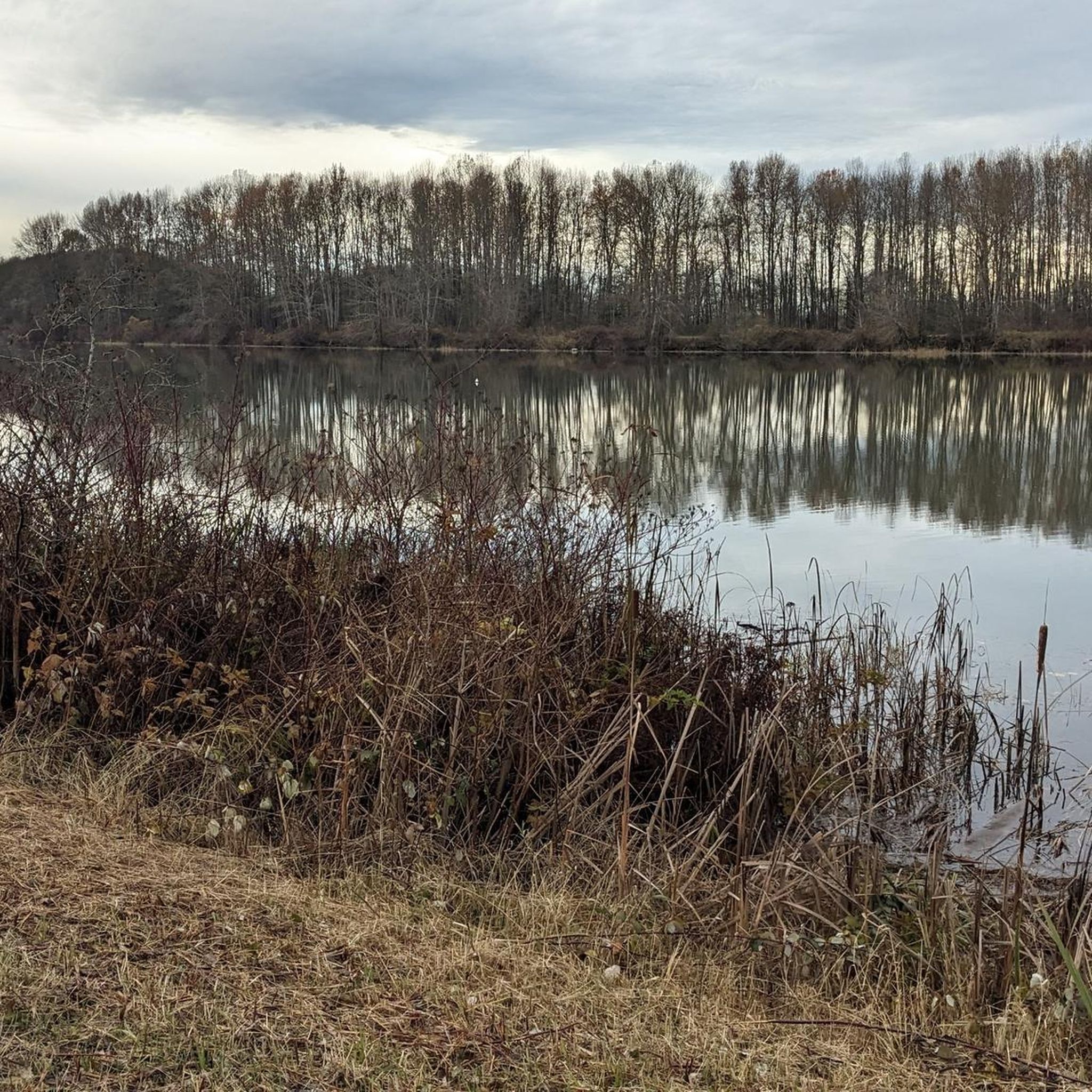
Deas Slough is on the east side of Deas Island. Because it is much gentler than the Fraser River on the other side of the island, the slough is a great spot for human-propelled watercraft.
0
0
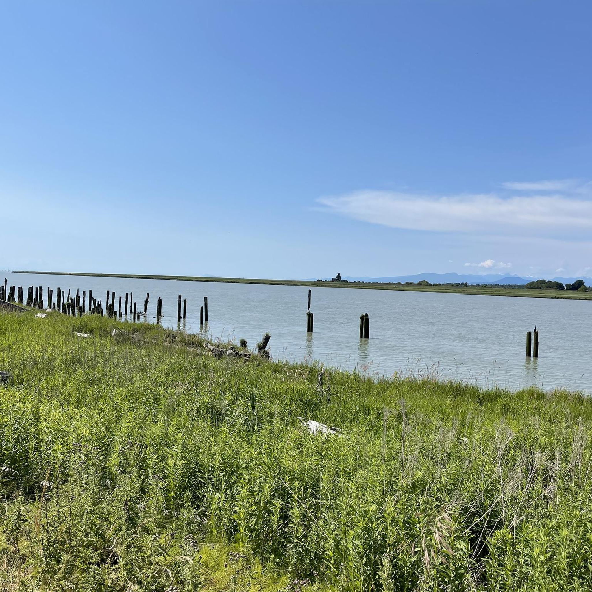
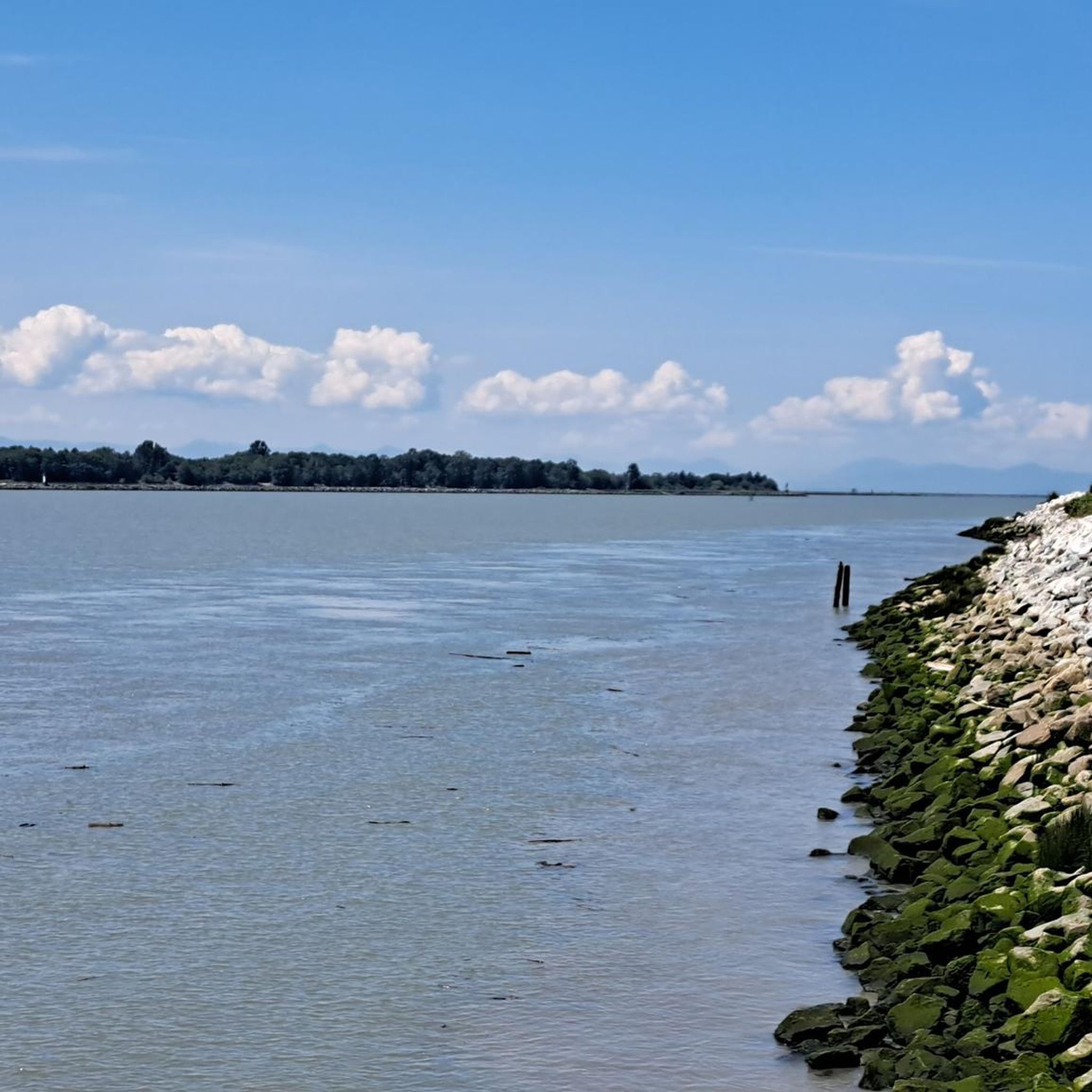
The Fraser River is the longest river in British Columbia, stretching 1,375 km. It's also the largest producer of salmon in Canada and is considered one of the world's greatest salmon resources.
0
0
Deas Island Regional Park sits along the banks of the Fraser River and Deas Slough. The park’s site was once home to a cannery that processed large quantities of salmon from the Fraser River. Today, it’s best known for its scenic hiking trails.
0
0
Frequently Asked Questions
How many hiking trails are available in Deas Island Regional Park?
Deas Island Regional Park offers a variety of hiking options, with over 15 routes available for exploration. These trails cater to different preferences, ranging from easy strolls to moderate walks.
What is the typical terrain and difficulty level of hikes in Deas Island Regional Park?
The trails in Deas Island Regional Park are generally flat with minimal elevation gain, making them suitable for leisurely walks rather than strenuous climbs. Most routes are classified as easy, with some moderate options available for those seeking a slightly longer outing, such as the Shell Road Trail — Richmond.
Are there any family-friendly hiking options in Deas Island Regional Park?
Yes, Deas Island Regional Park is an excellent destination for families. The trails are mostly flat and easy to navigate, making them ideal for all ages. The park's diverse habitats and wildlife viewing opportunities provide engaging experiences for children. A popular choice is the Deas Island loop — Deas Island Regional Park, which offers scenic views and is easy to complete.
Can I bring my dog on the hiking trails in Deas Island Regional Park?
Deas Island Regional Park is generally dog-friendly, but it's always best to check specific park regulations regarding pets, especially in sensitive wildlife areas. Dogs are typically welcome on leash on most trails, allowing you to enjoy the scenic walks with your canine companion.
What kind of natural features and landmarks can I expect to see while hiking?
Hikers can enjoy scenic views of the Fraser River, tranquil Deas Slough, and diverse habitats including marshes, meadows, and unique sand dunes. The park is also home to three registered heritage buildings: the Inverholme Schoolhouse, Burrvilla Heritage House, and Delta Agricultural Hall. The Island Tip Trail even leads over the George Massey Tunnel, offering a unique perspective.
Are there any circular hiking routes in Deas Island Regional Park?
Yes, the park offers several loop trails that allow you to start and end at the same point. A popular example is the Deas Island loop — Deas Island Regional Park, which provides a comprehensive tour of the island's diverse landscapes.
What wildlife can be observed in Deas Island Regional Park?
Deas Island Regional Park is a haven for wildlife, particularly migratory birds, especially in late fall and early spring. You might spot eagles, chickadees, frogs, and otters in the wetlands. Rabbits and small songbirds are common along the trails, and seals can sometimes be seen in the Fraser River from the Island Tip Trail. A viewing tower on the Tinmaker's Walk trail offers elevated perspectives for spotting wildlife.
What is the best time of year to visit Deas Island Regional Park for hiking?
Deas Island Regional Park is enjoyable year-round. Late fall and early spring are particularly good for bird-watching due to migratory patterns. The trails are generally accessible in winter, though conditions may vary. For comfortable walking and pleasant scenery, spring, summer, and early fall offer ideal weather.
Are there picnic areas or other amenities available in the park?
Yes, Deas Island Regional Park provides numerous picnic tables and grassy areas throughout for visitors to enjoy. There is also a reservable covered picnic shelter at Fisher's Field, perfect for group gatherings. The Inverholme Schoolhouse, a wheelchair-accessible one-room schoolhouse, is available for special events.
Is public transport available to Deas Island Regional Park, or is parking provided?
While public transport options to Deas Island Regional Park may be limited, ample parking is generally available within the park for visitors arriving by car. It's advisable to check local transit schedules for the most current information if planning to use public transport.
What do other hikers enjoy most about Deas Island Regional Park?
The area is highly rated by the komoot community, with an average score of 4.2 stars from over 9 reviews. Reviewers often praise the park's tranquil atmosphere, scenic Fraser River views, and the ease of its flat, well-maintained trails, making it a relaxing escape for all skill levels.
Are there any trails that offer unique historical insights?
Yes, the park features three registered heritage buildings: the Inverholme Schoolhouse (built in 1909), Burrvilla Heritage House (a Victorian home from 1906), and the Delta Agricultural Hall. Exploring the trails around these structures provides a glimpse into the region's past, adding a historical dimension to your hike.
Most popular routes in Deas Island Regional Park

Get inspired with the komoot mobile app


Explore more
Browse the best Hikes in other regions.
