The best road cycling routes in Smuggler'S Notch State Park
4.0
(1)
83
riders
7
rides
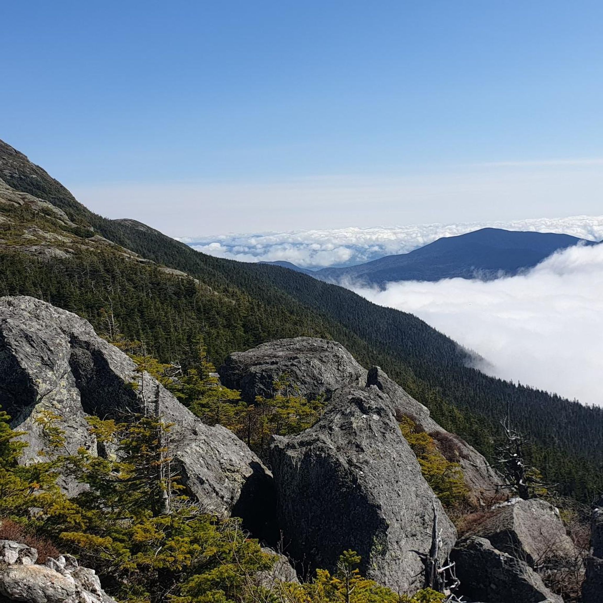
Road cycling in Smuggler's Notch State Park is characterized by its dramatic landscapes and challenging terrain. The region features a narrow pass carved through the Green Mountains, with towering cliffs, massive boulders, and dense alpine forests. Cyclists encounter significant elevation changes, including demanding climbs and scenic descents, particularly along the iconic Route 108. The area offers a mix of paved paths and routes with sustained gradients, providing varied experiences for road cyclists.
Best road cycling routes in Smuggler'S Notch State…
Last updated: August 9, 2026
8
riders
33.9km
01:55
770m
770m
Moderate road ride. Good fitness required. Some segments of this route may be unpaved and difficult to ride.
12
riders
32.7km
01:35
400m
400m
Moderate road ride. Good fitness required. Mostly well-paved surfaces and easy to ride.

Sign up for free
4.0
(1)
18
riders
58.5km
02:37
550m
550m
Moderate road ride. Good fitness required. Some segments of this route may be unpaved and difficult to ride.
15
riders
103km
04:40
1,040m
1,040m
Hard road ride. Very good fitness required. Some segments of this route may be unpaved and difficult to ride.
8
riders
8.71km
00:23
40m
40m
Easy road ride. Great for any fitness level. Mostly well-paved surfaces and easy to ride.
Get access to more routes and recommendations from other explorers.
Sign up for free
Already have an account?
Our route recommendations are based on thousands of hikes, rides, and runs completed by other people on komoot.
Start today with a free account
Your next adventure awaits.
Login or Signup

Tips from the Community

Great way to get up the Notch and avoid most of Route 107
0
0

The Stowe Recreation Path is a 5.3 mile fully paved trail from Stowe Village to Top Notch Resort. It is a beautiful path to walk that is free from car traffic.
0
0

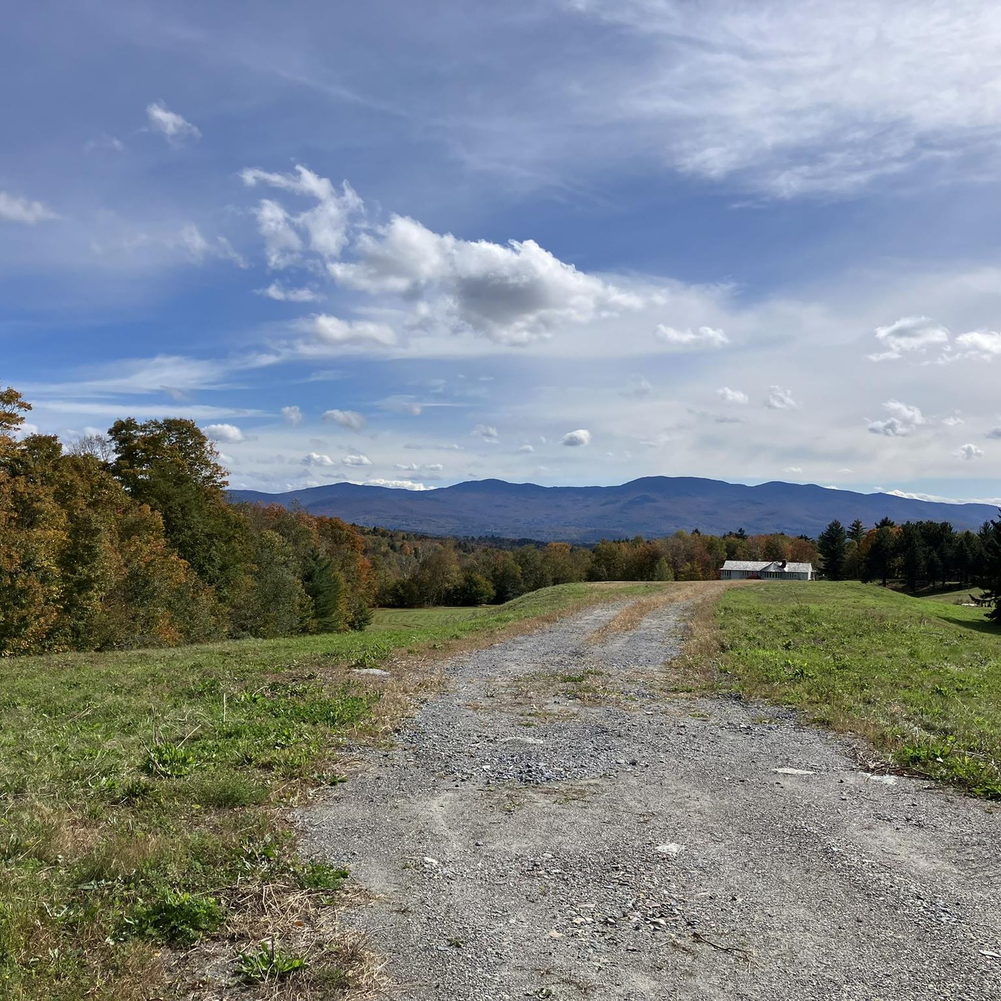
Randolph Road is a relatively flat road that connects Stowe to Morrisville, past the local airport. This road has great views of the mountains pretty much the entire way as you ride.
0
0
Morrisville, Vermont, is a charming village in Lamoille County, just north-northeast of Stowe. The main street is lined with 19th and early 20th-century buildings that host a variety of locally-owned shops, including boutiques, and antique stores, as well as cozy cafes and family-owned restaurants that emphasize local ingredients. Main Street also features nearby green spaces with easy access to the Lamoille River and the Lamoille Valley Rail Trail, the longest rail trail in New England!
0
0
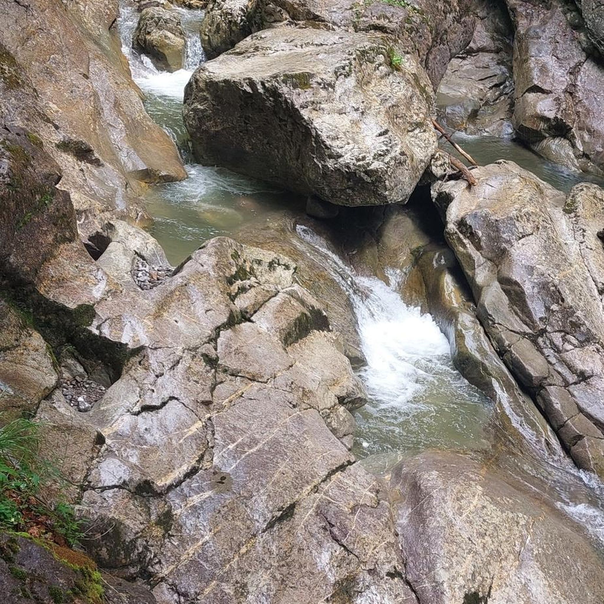
The Grist Mill Covered Bridge, which is also known as the Scott Covered Bridge, the Bryant Covered Bridge, or the Canyon Covered Bridge, spans the Brewster River near the beautiful Brewster River Gorge and falls. This bridge is one of a small number of surviving Burr arch truss bridges in the state and was built in the 19th century. In 1974 it was listed on the National Register of Historic Places. There is a nice overlook for the Brewster Falls not far from here, down a short trail if you wanted to leave your bikes and go on a short walk.
0
0
Lintilhac Park is a lovely little park behind the Stowe Community Church and is a common access point for the southern end of the Stowe Recreation Path, just north of Main Street, Stowe. The Stowe Recreation Path is a popular, scenic, 5.3-mile paved trail that is open for bikers and walkers, and is groomed in the winter for cross-country skiers. This fantastic trail crosses Little River several times via wooden bridges, has multiple spots for swimming, and offers direct access to many restaurants and shops in Stowe. There is a bike repair station at Lintilhac Park for those who might need it, in addition to parking for the Recreation Path.
0
0
A coffee shop and a brewery right across the street from each other! What more can you ask for on a relaxing ride around Stowe? Idletyme Brewing and PK Coffee are two great spots to grab a burger and beer or coffee and pastry depending on your mood (and time of day). Both of these local-favorite spots are right off of the Stowe Recreational Path, making them convenient to stop at and refuel as you explore the area.
0
0
From the main parking area, you must walk back on the road and through the Grist Mill Covered Bridge. Also known as the Scott Covered Bridge, the Bryant Covered Bridge,or the Canyon Covered Bridge, this bridge is one of a small number of surviving Burr arch truss bridges in the state and was built in the 19th century. In 1974 it was listed on the National Register of Historic Places.
0
0
Frequently Asked Questions
How many road cycling routes are available in Smuggler's Notch State Park?
Smuggler's Notch State Park offers a selection of road cycling routes, with around 7 options available on komoot. These routes cater to various skill levels, from moderate to difficult, allowing cyclists to experience the park's dramatic landscapes.
What is the best time of year for road biking in Smuggler's Notch State Park?
The fall foliage season is particularly stunning for road biking through Smuggler's Notch, often referred to as one of the top 'tree tunnels' in the world. However, the park offers incredible scenery throughout the warmer months, with challenging ascents and panoramic vistas.
Are there any challenging road cycling climbs in Smuggler's Notch State Park?
Yes, the road through Smugglers' Notch itself is renowned for its significant and demanding climbs. Cyclists starting from Jeffersonville face a 7.7-mile ascent, gaining 1,677 feet with an average gradient of 4.1%, and sustained sections between 5-10%. The steepest quarter-mile can reach 8.8%, providing a rigorous test for experienced riders.
Are there any family-friendly or easier road cycling options in Smuggler's Notch State Park?
While the Notch is known for its challenging climbs, there are less strenuous options available. Paved paths like the Stowe Recreation Path offer a more accessible experience. One moderate route is the Stowe Recreation Path – Sunset Rock Trailhead loop from Adams Camp, which covers about 33 km with moderate elevation gain.
What kind of scenery can I expect along the road cycling routes?
Road cycling in Smuggler's Notch State Park offers continuous, magnificent views. You'll be treated to dramatic 1,000-foot cliffs, massive boulders, dense alpine forests, and panoramic vistas, especially during descents towards Stowe. The iconic Route 108 through the Notch is particularly scenic.
Are there any waterfalls or natural attractions to see while road biking?
Yes, the region boasts several natural attractions. Bingham Falls is a picturesque 40-foot cascading waterfall with deep gorges and pools, accessible via a short hike. Some cycling routes, such as one originating in Richmond, VT, specifically pass by waterfalls.
What do other road cyclists enjoy most about road cycling in Smuggler's Notch State Park?
The area is highly rated by the komoot community, with an average score of 4.0 stars. Reviewers often praise the challenging terrain combined with the stunning natural beauty, including the dramatic cliffs, dense forests, and panoramic views that make every ride memorable.
Are there any loop road bike routes in Smuggler's Notch State Park?
Yes, beyond the main Notch road, various cycling routes are available, including longer loops that combine significant distance and elevation gain. These loops often pass through scenic valleys and alongside natural features, offering a comprehensive experience of the park.
Where can I find parking for road biking in Smuggler's Notch State Park?
While specific parking areas for road cyclists are not detailed, the Barnes Camp Visitor Center is a notable location within the park, which might offer parking facilities. It's advisable to check local signage or park websites for designated parking spots near your chosen route's starting point.
What is the elevation gain like on road cycling routes in Smuggler's Notch State Park?
Road cycling routes in Smuggler's Notch State Park are characterized by significant elevation changes. For instance, the ascent through Smugglers' Notch from Jeffersonville involves gaining 1,677 feet over 7.7 miles. Even moderate routes like the Stowe Recreation Path – Sunset Rock Trailhead loop from Adams Camp include around 400 meters of elevation gain.
Are there any cafes or places for refreshments near the road cycling routes?
The region around Smuggler's Notch State Park, particularly towns like Stowe and Jeffersonville, offers various amenities including cafes, pubs, and accommodation options. While specific bike-friendly cafes are not listed, these towns provide convenient stops for refreshments before or after your ride.
Can I explore any unique natural features or landmarks while road cycling?
Absolutely. Besides the dramatic Smugglers' Notch pass itself, you can explore the historic Smugglers Caves, which offer an intriguing natural feature conveniently located near the roadside. The Wetlands Boardwalk near the Barnes Camp Visitor Center also provides a unique natural experience.
Most popular routes in Smuggler'S Notch State Park

Get inspired with the komoot mobile app


Explore more
Browse the best Road cycling routes in other regions.
