The best walks and hikes around Ifta
4.7
(5312)
16,609
hikers
24
hikes
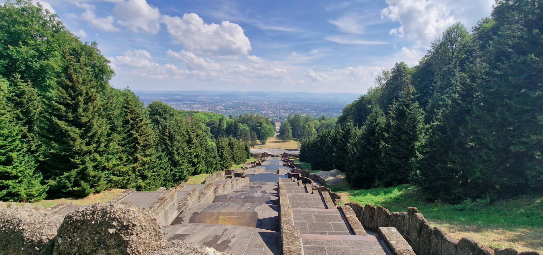
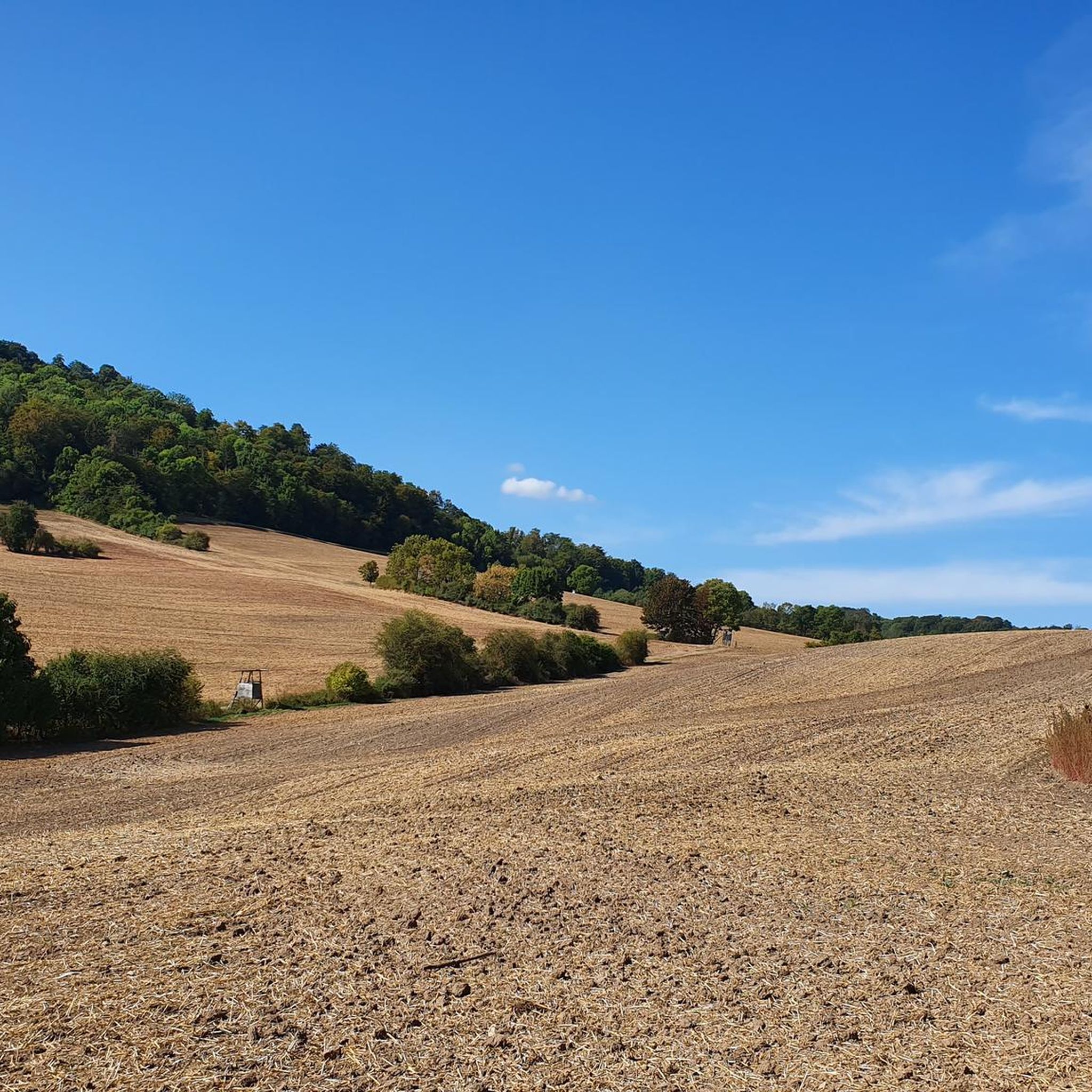
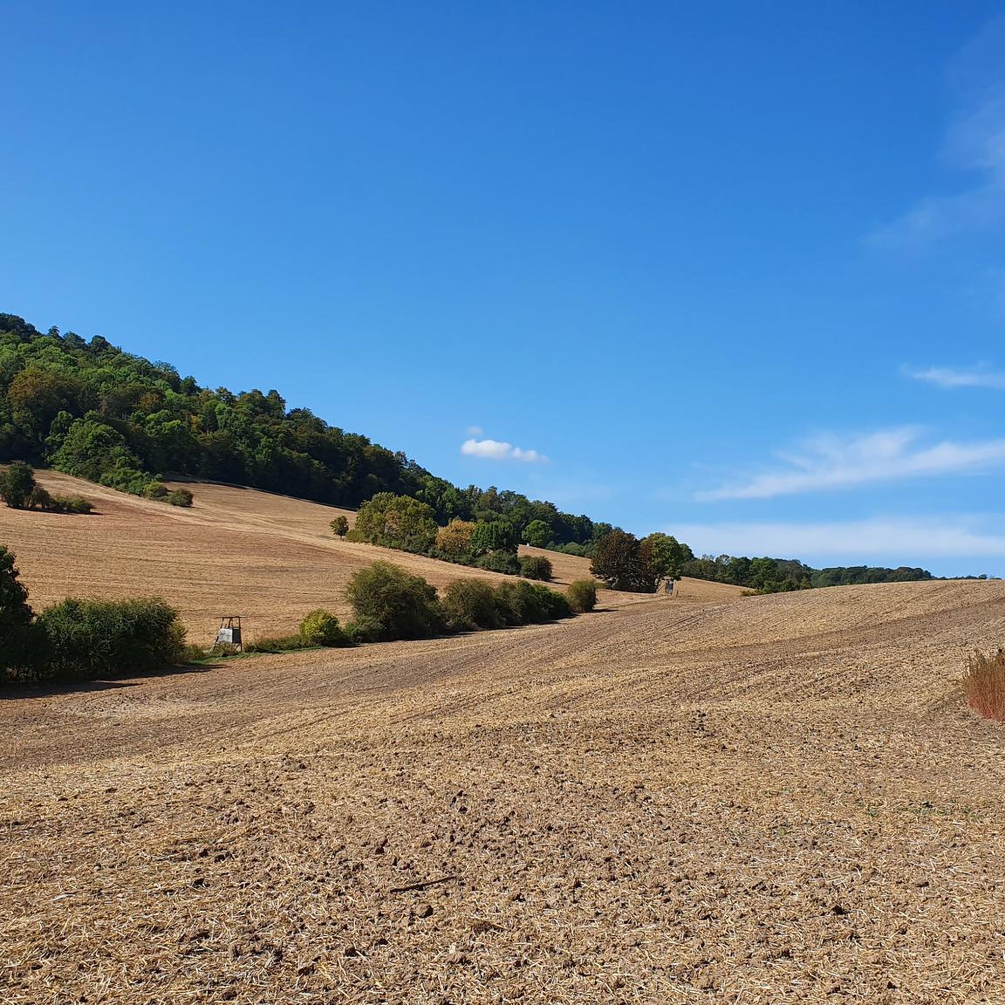
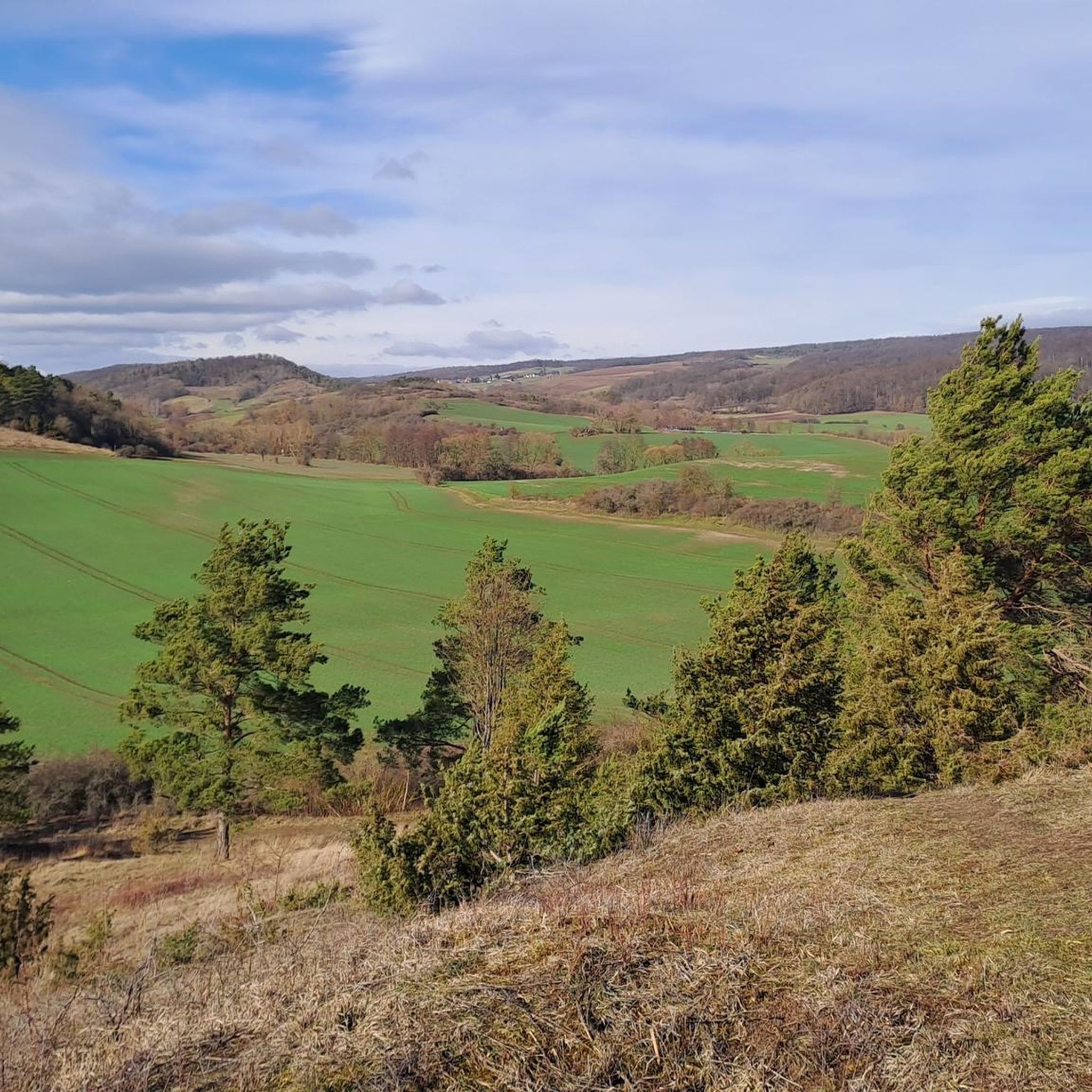
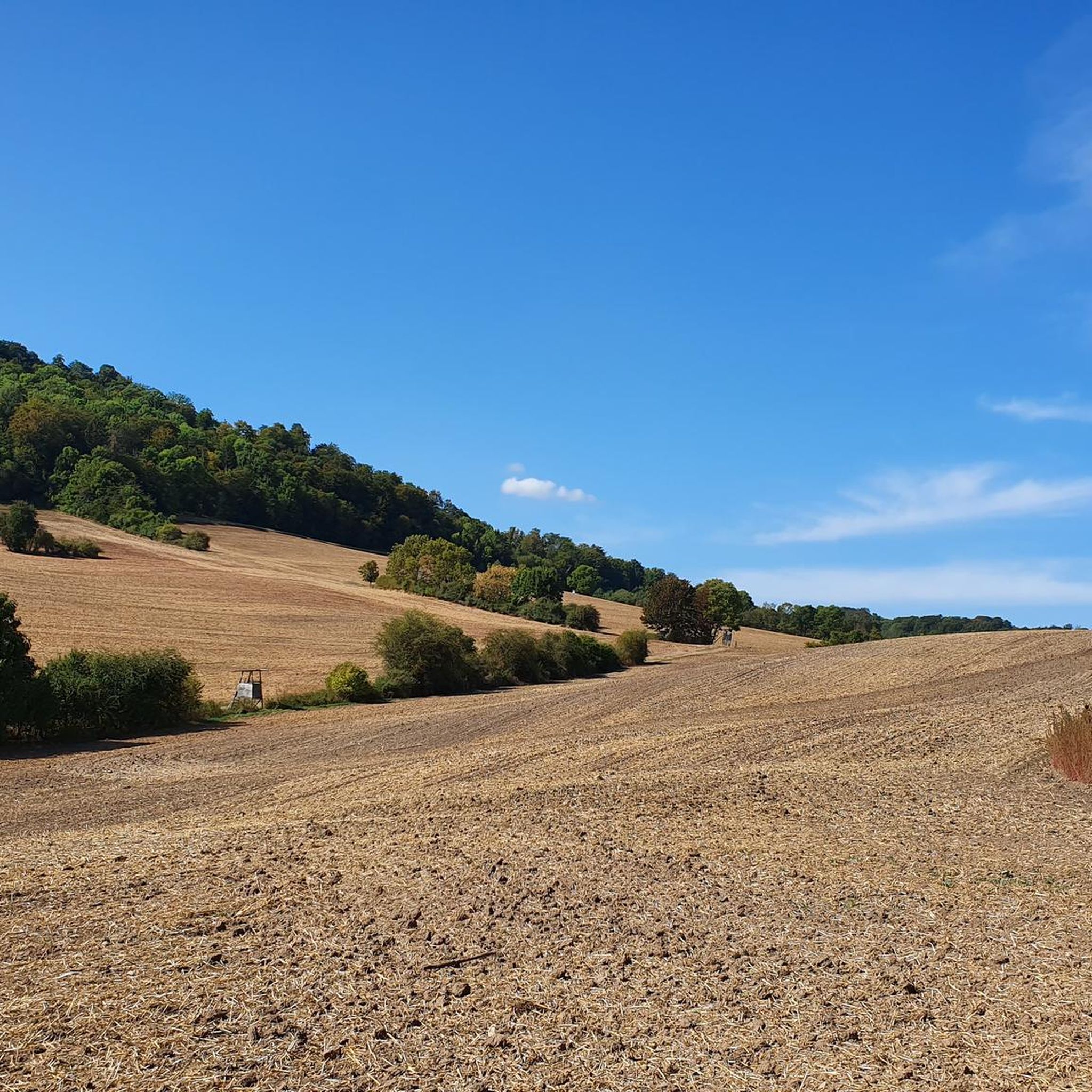
Hiking trails around Ifta are set within the picturesque Werra Valley, characterized by verdant meadows and undulating hills. The region is part of the "Green Belt," a significant nature conservation area offering expansive natural landscapes. Proximity to the Thuringian Forest provides access to a low mountain range with dense forests, deep valleys, and unique rock formations. This diverse terrain offers a variety of hiking experiences.
Best hiking trails around Ifta
- The most popular hiking route is Forest Path to Point…
Last updated: November 1, 2026
4.7
(127)
413
hikers
13.7km
03:48
250m
250m
Moderate hike. Good fitness required. Easily walkable paths.
4.7
(26)
60
hikers
Easy hike. Easily walkable paths.

4.8
(11)
32
hikers
9.29km
02:36
180m
180m
Moderate hike. Good fitness required. Easily walkable paths.
4.6
(7)
18
hikers
8.06km
02:17
180m
180m
Moderate hike. Good fitness required. Easily walkable paths.
4.8
(8)
24
hikers
Moderate hike. Good fitness required. Easily walkable paths.
Get access to more routes and recommendations from other explorers.
Already have an account?
Our route recommendations are based on thousands of hikes, rides, and runs completed by other people on komoot.
Start today with a free account
Your next adventure awaits.

Other adventures around Ifta

Tips from the Community

Lüderbacher Castle was built in the 15th century by the noble family Treusch von Buttlar - Brandenfels. Today it is privately owned.
0
0

A wooden sign invites visitors to take a look at the castle grounds, but since it's privately owned, you should, of course, stop at the gate. From the 15th century until 1799, it was continuously owned by the Treusch von Buttlar-Brandenfels family, or rather, by the Capellan family from Austria, who married into the family. The last owners also erected the burial pyramid outside the town. Incidentally, information leaflets about the history of the castle, as well as other sights in Lüderbach, are posted at the bridge just south of the castle.
2
0
The patrol path and the GDR border fortifications are still fairly well defined here, as they truly run like a green belt through the middle of the forest. Walking only on the patrol path is very rough in the long run.
1
0
A path secured with railings runs along the edge of the Heldrastein and offers a perfect view of the rather fragile-looking mountain.
0
0

From a height of 30 meters, the Tower of Unity offers a panoramic view of the Thuringian Forest, the Rhön Mountains, and the Hoher Meißner. Simply magnificent! 🤩
9
0

The three-story border tower near Ifta was a so-called command tower of the GDR border troops. The inner-German border was divided into individual sections. Each section had its own command tower. The upper floor was permanently manned by an officer and a soldier. From the Ifta border tower, the entire area – the border, the village of Ifta, and the airspace – was monitored. All messages, including those from the signal fences, were received here. Radio and telecommunications technology was operated from here. The ground floor housed sanitary facilities, and the first floor contained a rest room with beds for up to six people. For safe operation, each tower was equipped with accumulators and an emergency generator to ensure power supply to the border section in the event of a power outage.
1
0
From here, you have a sensational view of Ifta. This bench was sponsored by Shedea Manina 🙏
0
0

Memorial to the division of Germany until 1989 We can be happy that reunification took place peacefully
2
0
Frequently Asked Questions
How many hiking trails are available around Ifta?
Ifta offers a good selection of hiking opportunities, with over 20 trails to explore. These range in difficulty from easy strolls to more moderate ascents, ensuring there's something for every hiker.
What makes hiking around Ifta unique?
Hiking around Ifta is unique due to its location within the picturesque Werra Valley, characterized by verdant meadows and undulating hills. It's also part of the 'Green Belt,' a significant nature conservation area. The proximity to the Thuringian Forest adds diverse landscapes, including dense forests and unique rock formations, offering a blend of natural beauty and historical significance.
Are there easy hiking trails suitable for beginners or casual walkers in Ifta?
Yes, Ifta has several easy hiking trails perfect for beginners or those looking for a relaxed walk. Approximately half of the available routes are classified as easy, providing gentle paths through scenic landscapes. An example is the Lüderbach Water Playground – View of Lüderbach loop from Feuchtwiesen bei Lüderbach, which is an easy 5.4 km route.
What kind of views can I expect on hikes around Ifta?
Many trails around Ifta offer impressive views. For instance, the Forest Path to Point India – Observation Tower Point India loop from Ifta leads to an observation tower with panoramic vistas. Other routes, like the View of the Werratal Valley – View of the Heldrastein loop from Wolfmannsgehau, provide stunning perspectives of the scenic Werra Valley and surrounding hills.
Are there any circular hiking routes in the Ifta area?
Yes, many of the hiking routes around Ifta are designed as circular loops, making them convenient for day trips. Examples include the popular Forest Path to Point India – Observation Tower Point India loop from Ifta and the Observation Tower Point India – Forest Path to Point India loop from Ifta, both offering varied scenery back to your starting point.
What are some interesting landmarks or attractions to see while hiking near Ifta?
While hiking near Ifta, you can discover several interesting landmarks. The area features historical sites like the Pochteich – Mining Trail Station 4. You can also explore various castles, such as the Brandenburg Castle Ruins or Normannstein Castle in Treffurt, which offer glimpses into the region's past. The View of Creuzburg Castle is another notable viewpoint.
Are the hiking trails around Ifta suitable for families with children?
Many of the easy and moderate trails around Ifta are suitable for families. The diverse landscapes, including forests and meadows, provide engaging environments for children. Routes with specific attractions like the Lüderbach Water Playground – View of Lüderbach loop from Feuchtwiesen bei Lüderbach can be particularly enjoyable for families.
Can I bring my dog on the hiking trails in Ifta?
Generally, dogs are welcome on most hiking trails around Ifta, especially in natural areas like the Werra Valley and the Green Belt. It's always recommended to keep dogs on a leash, particularly in nature reserves or near wildlife, and to be mindful of other hikers and local regulations.
What do other hikers enjoy most about the trails in Ifta?
The hiking trails around Ifta are highly rated by the komoot community, with an average score of 4.6 stars from over 900 reviews. Hikers frequently praise the varied terrain, the beautiful views of the Werra Valley, and the peaceful atmosphere of the forested paths, particularly around areas like Point India.
Is public transport available to access hiking trailheads around Ifta?
While Ifta is a smaller community, local bus services connect it to larger towns in the region. However, direct public transport access to all trailheads might be limited. It's advisable to check local bus schedules for specific routes or consider driving to trail starting points, where parking is often available.
Are there any lakes or water features to explore on hikes near Ifta?
Yes, the region around Ifta features several charming water bodies. You can find highlights such as the Stedtfeld Fish Ponds or the Village Pond and Mohnblüte Photo Wall in Grandenborn. These provide tranquil spots and often serve as points of interest along various hiking routes.
What is the best time of year to go hiking in Ifta?
The best time to hike in Ifta is generally from spring through autumn (April to October). During these months, the weather is mild, the landscapes are lush, and the trails are in good condition. Spring brings blooming wildflowers, while autumn offers vibrant foliage, making for particularly scenic hikes.
Most popular attractions around Ifta

Get inspired with the komoot mobile app


Explore more
Browse the best Hikes in other regions.
