The best road cycling routes in Cross Plains State Park
4.7
(14)
539
riders
58
rides
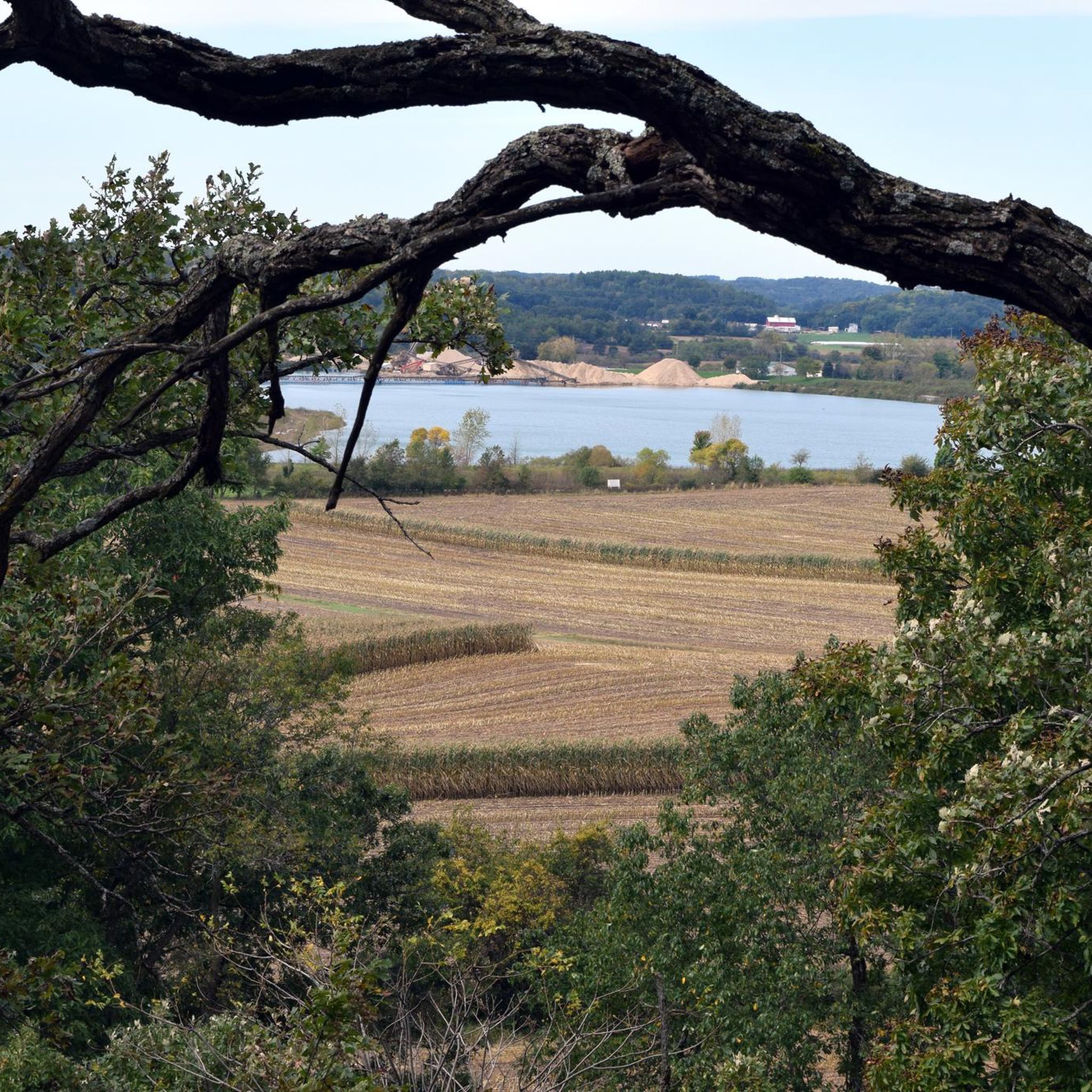
Road cycling in Cross Plains State Park, located west of Madison, Wisconsin, offers routes through distinctive glacial landscapes and varied terrain. The region features both driftless and glaciated areas, providing a mix of potentially flatter stretches and more challenging ascents. Cyclists can experience views of adjacent farmlands and forested areas, with a notable meltwater-carved gorge showcasing geological formations. The park is also integrated into the broader network of the Ice Age National Scenic Trail, offering diverse road cycling opportunities.
Best…
Last updated: May 16, 2026
7
riders
40.6km
01:59
440m
440m
Moderate road ride. Good fitness required. Mostly well-paved surfaces and easy to ride.
37
riders
44.2km
02:07
430m
430m
Moderate road ride. Good fitness required. Mostly well-paved surfaces and easy to ride.

Sign up for free
4.3
(3)
7
riders
39.1km
02:04
370m
370m
Moderate road ride. Good fitness required. Mostly well-paved surfaces and easy to ride.
6
riders
31.6km
01:42
290m
290m
Easy road ride. Great for any fitness level. Mostly well-paved surfaces and easy to ride.
4
riders
18.4km
00:51
170m
170m
Moderate road ride. Great for any fitness level. Some segments of this route may be unpaved and difficult to ride.
Get access to more routes and recommendations from other explorers.
Sign up for free
Already have an account?
Our route recommendations are based on thousands of hikes, rides, and runs completed by other people on komoot.
Start today with a free account
Your next adventure awaits.
Login or Signup
Popular around Cross Plains State Park


Tips from the Community


On the bridge right before (if you're riding west) or after (heading east) Riley, stop at this bridge and watch the turtles. You can usually find dozens of them, starting in April and extending into the fall.
1
0
Frequently Asked Questions
How many road cycling routes are available in Cross Plains State Park?
Komoot features over 50 road cycling routes in and around Cross Plains State Park. These routes offer a variety of experiences, ranging from easy rides to more challenging ascents through the region's unique glacial landscapes.
What kind of terrain can I expect when road cycling in Cross Plains State Park?
The terrain in Cross Plains State Park is characterized by its distinctive glacial landforms, offering a mix of both driftless and glaciated areas. This means you can expect varied routes, from potentially flatter stretches to more rolling hills and challenging ascents. Routes like Barlow Road climb loop from Village of Cross Plains feature steady climbs and scenic views.
Are there road cycling routes suitable for beginners or families in the area?
Yes, the Cross Plains State Park area offers routes suitable for various ability levels. There are 13 easy routes available, which are generally less demanding. An example of an easier route is Nissaru's loop from Autumn Pond, which covers 19.6 miles (31.6 km) with moderate elevation gain.
Are there any specific trails like the Ice Age Trail suitable for road biking?
While the Ice Age National Scenic Trail is primarily for hiking, some sections, particularly those that are paved, are suitable for road biking. The broader Cross Plains area, which integrates with parts of the Ice Age Trail, offers various paved paths and local roads that are excellent for road cycling, providing a diverse experience through picturesque landscapes.
Do I need a permit to road cycle on trails in the Cross Plains area?
Cross Plains State Park itself does not require a vehicle admission sticker, making it an accessible option for visitors. However, if you plan to cycle on other state trails in Wisconsin, such as the Military Ridge State Trail or Capital City State Trail, a state trail pass may be required. It's always best to check the specific requirements for any trail outside the immediate park boundaries.
What is the best time of year to go road cycling in Cross Plains State Park?
The best time for road cycling in Cross Plains State Park is typically during the spring, summer, and fall months. These seasons offer pleasant weather conditions for exploring the varied terrain and enjoying the scenic views of farmlands and forested areas. Spring brings fresh greenery, summer offers warm rides, and fall provides beautiful foliage.
Where can I park when visiting Cross Plains State Park for road cycling?
Cross Plains State Park offers accessible options for visitors, and parking is generally available. Specific parking areas can be found near trailheads or access points to the broader cycling network in the Cross Plains area. It's advisable to check local maps or park information for the most convenient parking for your chosen route.
Can I bring my dog on road cycling routes in Cross Plains State Park?
Cross Plains State Park generally allows dogs, but they must be on a leash no longer than 8 feet at all times. Please ensure your dog is well-behaved and that you clean up after them to maintain the natural beauty of the park for all visitors. Always check specific trail regulations as some areas might have restrictions.
What amenities are available near the road cycling routes, such as cafes or places to stay?
The Village of Cross Plains, located near the park, offers various amenities including cafes, pubs, and accommodation options. These can be convenient stops for refreshments or overnight stays before or after your road cycling adventures. Routes like Roadbike loop from Village of Cross Plains start and end near these facilities.
What scenic views or natural features can I expect to see while cycling?
Road cycling routes in Cross Plains State Park offer expansive views of both driftless and glaciated terrain, showcasing unique geological formations. You can expect to see a notable gorge carved by meltwater, picturesque adjacent farmlands, and forested areas. The tranquil environment also provides opportunities for observing various bird species and other wildlife, enhancing the outdoor experience.
How accessible is Cross Plains State Park for road cyclists?
Cross Plains State Park is designed to be accessible, and it does not require a vehicle admission sticker, making it easy for cyclists to visit. The park's integration into the broader network of trails and local roads provides numerous entry points and varied route options for road cyclists of different abilities.
What do other cyclists say about road cycling in Cross Plains State Park?
The road cycling routes in Cross Plains State Park are highly rated by the komoot community, with an average score of 4.5 stars from over 15 reviews. Cyclists often praise the varied terrain, the scenic views of glacial landscapes and farmlands, and the well-maintained routes that offer options for different skill levels. Over 600 road cyclists have used komoot to explore this area.
Are there any good loop routes for road cycling in the area?
Yes, there are several excellent loop routes for road cycling. A popular choice is the Esser Pond loop from Town of Cross Plains, a moderate 27.5 miles (44.2 km) path that winds through varied terrain. Another well-liked option is The Turtle Watch Bridge loop from Moraine Highland, a shorter moderate loop of 11.4 miles (18.4 km).
Most popular routes in Cross Plains State Park

Get inspired with the komoot mobile app


Explore more
Browse the best Road cycling routes in other regions.
