The best cycling routes in Idaho
4.8
(224)
3,648
riders
242
rides
Touring cycling in Idaho offers diverse landscapes, from extensive "rails-to-trails" conversions to scenic byways winding through mountains and along rivers. The state features generally flat, paved paths ideal for relaxed rides, alongside routes with challenging ascents in mountainous regions. Cyclists can explore varied terrain including forested areas, pristine lakes, and unique volcanic formations. This network provides a range of options for different skill levels and preferences.
Best touring cycling routes in Idaho
- The most popular touring cycling route is Idaho Falls Greenbelt loop, a 10.4 miles (16.7 km) trail that takes 1 hour to complete. This easy route follows the Snake River through urban parks and natural areas.
- Another top favourite among local touring cyclists is Boise River – Boise River Greenbelt loop from Boise, a moderate 26.8 miles (43.1 km) path. This route offers scenic river views and access to riverside parks along the Boise River.
- Local touring cyclists also love the Ashton-Tetonia Rail Trail Loop, a 61.6 miles (99.2 km) trail leading through rural landscapes and former railway lines, often completed in about 7 hours 28 minutes.
- Touring cycling in Idaho is defined by "rails-to-trails" paths, scenic byways, and routes along rivers and lakes. The network offers options for various ability levels, from easy greenbelt loops to more challenging long-distance routes.
- The routes in Idaho are highly rated by the komoot community with an average score of 4.7 stars from over 180 reviews. More than 3000 touring cyclists have used komoot to explore Idaho's varied terrain.
Last updated: September 27, 2026
5.0
(1)
22
riders
16.7km
01:00
50m
50m
The Idaho Falls Greenbelt loop offers a delightful touring cycling experience right through the heart of Idaho Falls, following the scenic Snake River. This easy 10.4 miles (16.7 km) route is mostly flat, with a minimal 153 feet (47 metres) of elevation gain, making it perfect for a relaxed ride that typically takes around 1 hour. You'll enjoy continuous river views and pass by key city landmarks, including the impressive Idaho Falls waterfall itself.
Parking for the Idaho Falls Greenbelt bike path is readily available at several points along the route, such as near South Tourist Park, ensuring convenient access. The trail is well-suited for family-friendly cycling and beginner cyclists, offering a safe and enjoyable environment. For the best season to cycle, aim for the milder temperatures of spring or fall, though the Greenbelt is accessible and pleasant throughout the year.
This urban greenbelt is a standout feature of Idaho Falls, providing a unique opportunity to combine outdoor activity with city sightseeing. It's a fantastic option for those looking for dog friendly cycling rules, as long as pets are leashed, and offers a chance for wildlife spotting along the riverbanks. The Greenbelt connects various downtown amenities, making it easy to combine your ride with a visit to nearby cafes or restaurants.
5.0
(7)
3
riders
50.9km
03:02
180m
180m
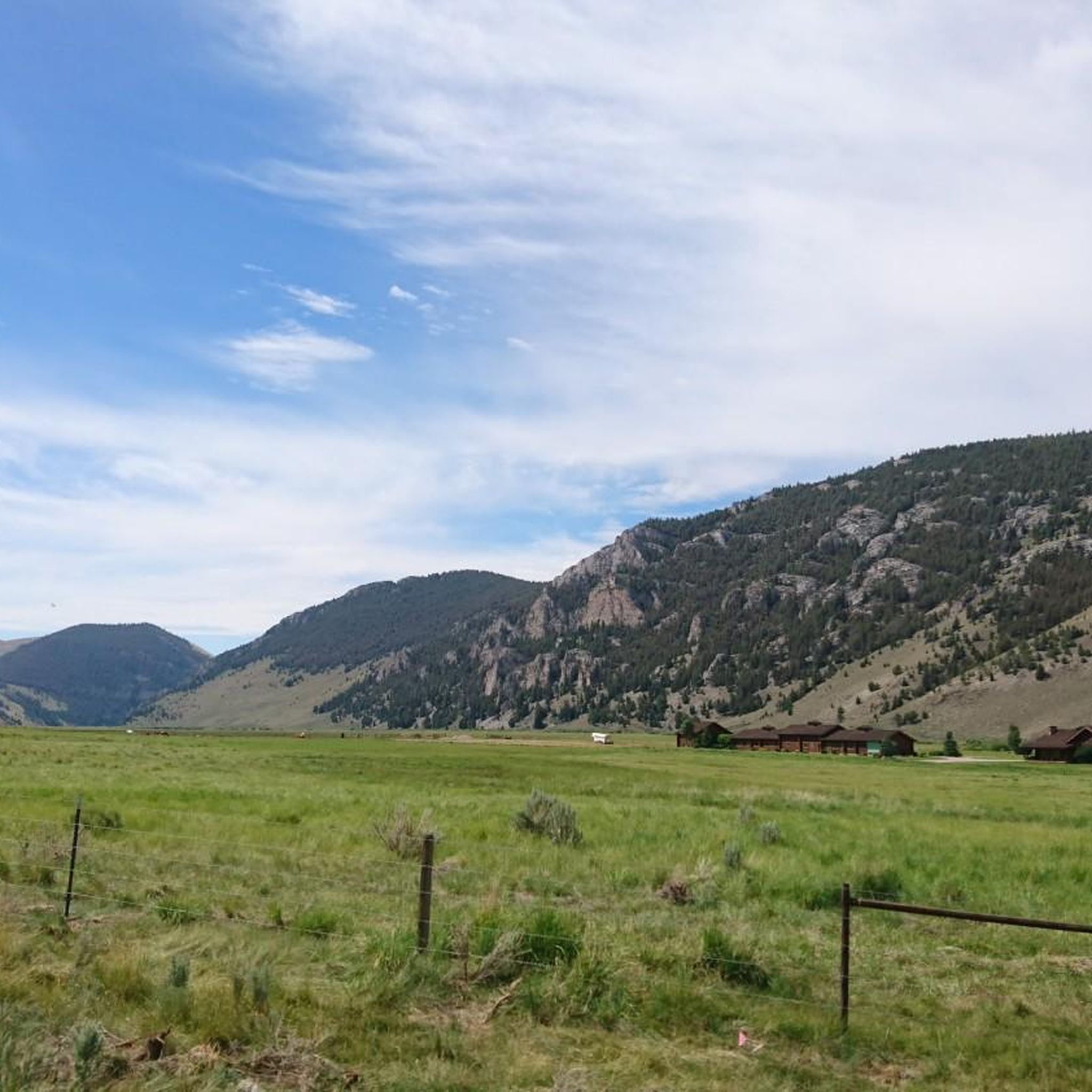
The Cedron-Bates Teton Valley Loop offers a delightful touring cycling experience through the scenic Teton Valley, characterized by its wide-open agricultural lands and constant, breathtaking views of the Teton Range. You'll pedal along quiet roads, enjoying the fresh air and the expansive Idaho sky, with notable points like the Cedron Trail providing a pleasant stretch of the journey. This route is less about challenging climbs and more about soaking in the tranquil, rural beauty of the region.
Planning your ride on this moderate 31.6-mile (50.9 km) loop is straightforward, though specific trailhead parking for the Cedron-Bates Teton Valley Loop isn't widely publicized. Many cyclists start from towns like Driggs, which offers amenities and access to the broader Teton Valley cycling network. With only 580 feet (177 metres) of elevation gain, it's a relatively gentle ride that takes about 3 hours and 1 minute, making it perfect for a relaxed morning or afternoon outing. Summer and early fall are ideal for clear roads and comfortable temperatures.
This route stands out as one of the popular cycling routes in Teton Valley Idaho, providing a fantastic way to explore the area's natural charm. After your ride, consider stopping at Grand Teton Brewing, a local highlight, for a refreshing drink. The Teton Valley is renowned for its outdoor activities, and this loop offers a quintessential experience of its pastoral beauty, making it a great option for those seeking scenic bike routes without extreme physical demands.

5.0
(1)
2
riders
21.4km
01:15
30m
30m
The Sunnyside Bike Path loop offers a delightful and straightforward touring cycling experience, perfect for those seeking a gentle ride in Idaho Falls. This easy 13.3-mile (21.4 km) route, which includes stretches of the Idaho Canal Trail, presents minimal challenge with just 105 feet (32 metres) of elevation gain. You can comfortably complete it in about 1 hour and 15 minutes, making it a fantastic option for a leisurely spin or a family outing.
Planning your ride on the Sunnyside Bike Path loop is simple. The route is easily accessible, and while specific parking details are not highlighted, you'll find convenient access points along the path itself. It's best enjoyed during pleasant weather, so check the forecast, and consider cycling in the morning or late afternoon to make the most of your time on the trail. This path is particularly good for beginners or anyone looking for a relaxed pace.
This touring cycling route stands out for its accessibility and the chance to see the Idaho Falls & Hydro Powerhouse up close. It provides a scenic way to explore the local area without venturing into rugged terrain, offering a smooth surface ideal for various bike types. The Sunnyside Bike Path loop is a great example of how urban trails can connect you with local landmarks and provide an enjoyable outdoor activity.
1
riders
42.1km
02:26
80m
80m
The Shelley to Snake River loop offers a delightful touring cycling experience, tracing the gentle curves of the Snake River through a peaceful landscape. You'll enjoy smooth, mostly flat terrain, passing through the Shelley Nature Path with open views and the calming presence of the river. It's a perfect route for those seeking a relaxed ride, allowing you to soak in the natural beauty without strenuous climbs.
This moderate 26.1-mile (42.1 km) cycling route features a minimal 248 feet (76 metres) of elevation gain, making it accessible for most riders and typically taking about 2 hours and 25 minutes to complete. Parking is available in Shelley, Idaho, and the route is best enjoyed during the pleasant temperatures of spring or fall. Consider an early start in summer to beat the heat.
This loop is an excellent choice among cycling routes near Shelley, Idaho, especially if you're looking for a family-friendly bike trail. The low elevation and well-maintained path make it suitable for cyclists of varying abilities, providing a scenic escape along the Snake River without the need for advanced technical skills or intense physical exertion.
13.8km
00:48
10m
10m
The Idaho Canal Trail Loop offers a wonderfully relaxed touring cycling experience, perfect for unwinding on two wheels. You'll follow the gentle contours of the Idaho Canal Trail, enjoying a smooth and mostly flat path that makes for an effortless ride. It’s a great way to get out and enjoy the local landscape without any strenuous effort, ideal for a casual spin.
This easy 8.6-mile (13.8 km) route with only 30 feet (9 metres) of elevation gain can be completed in about 47 minutes, making it a fantastic option for a quick outing. Parking is typically easy to find at the trailhead, and due to its short length and minimal elevation, you won't need extensive planning. It's a popular choice for family cycling or anyone looking for beginner cycling routes in the area.
This trail stands out as one of the more accessible cycling routes in Idaho, providing a straightforward and enjoyable experience for all ages and abilities. Its flat profile along the canal makes it a unique and pleasant option compared to more challenging terrain found elsewhere. It’s a reliable choice when you want a guaranteed easy ride.
3
riders
14.5km
00:51
10m
10m
The Greater Blackfoot Area Greenbelt offers a delightful and flat touring cycling experience, perfect for a leisurely outing. You'll pedal along the scenic Blackfoot Greenbelt Path, enjoying views of Jensen Grove Park & Lake and crossing the charming Cannon Bridge. This route is designed for easy cruising, making it a fantastic option for all ages and skill levels.
Planning your visit is simple; the route is easily accessible with convenient parking options. Given its easy difficulty and short duration, you can enjoy this ride at almost any time of day, though early mornings or evenings are pleasant during warmer seasons. It's a great way to get some fresh air without a strenuous effort.
This greenbelt route stands out as an accessible cycling path, providing a gentle escape into nature right within the Blackfoot area. It's a prime example of a family-friendly bike trail, offering a safe and enjoyable environment for everyone to cycle together. Consider it a local gem for a quick, refreshing ride.
99.2km
07:28
640m
640m
If you're seeking a substantial touring cycling adventure with big views, the Ashton-Tetonia Rail Trail Loop delivers. This difficult 61.7-mile (99.2 km) route, which includes 2104 feet (641 metres) of elevation gain, offers a journey through Idaho's scenic backcountry, often providing sweeping vistas of the majestic West Teton Range and a notable Grand Teton westside vista. Expect a long day in the saddle, as the full loop typically takes around 7 hours and 28 minutes to complete.
Planning your ride on the Ashton-Tetonia Rail Trail Loop means preparing for a full day out. Parking is usually accessible at various points along the route, but it's always a good idea to check specific trailhead access before you go. Given the distance and duration, an early start is recommended, and carrying enough water and snacks is crucial, as amenities are limited once you're on the trail.
This rail trail conversion offers a unique cycling experience, blending the relatively flat grades of former railway lines with the challenge of a long-distance loop. The primary draw is undoubtedly the stunning backdrop of the Teton Range, making it a memorable ride for those who appreciate both a physical challenge and spectacular natural scenery in the Idaho-Wyoming border region.
1
riders
14.9km
01:06
190m
190m
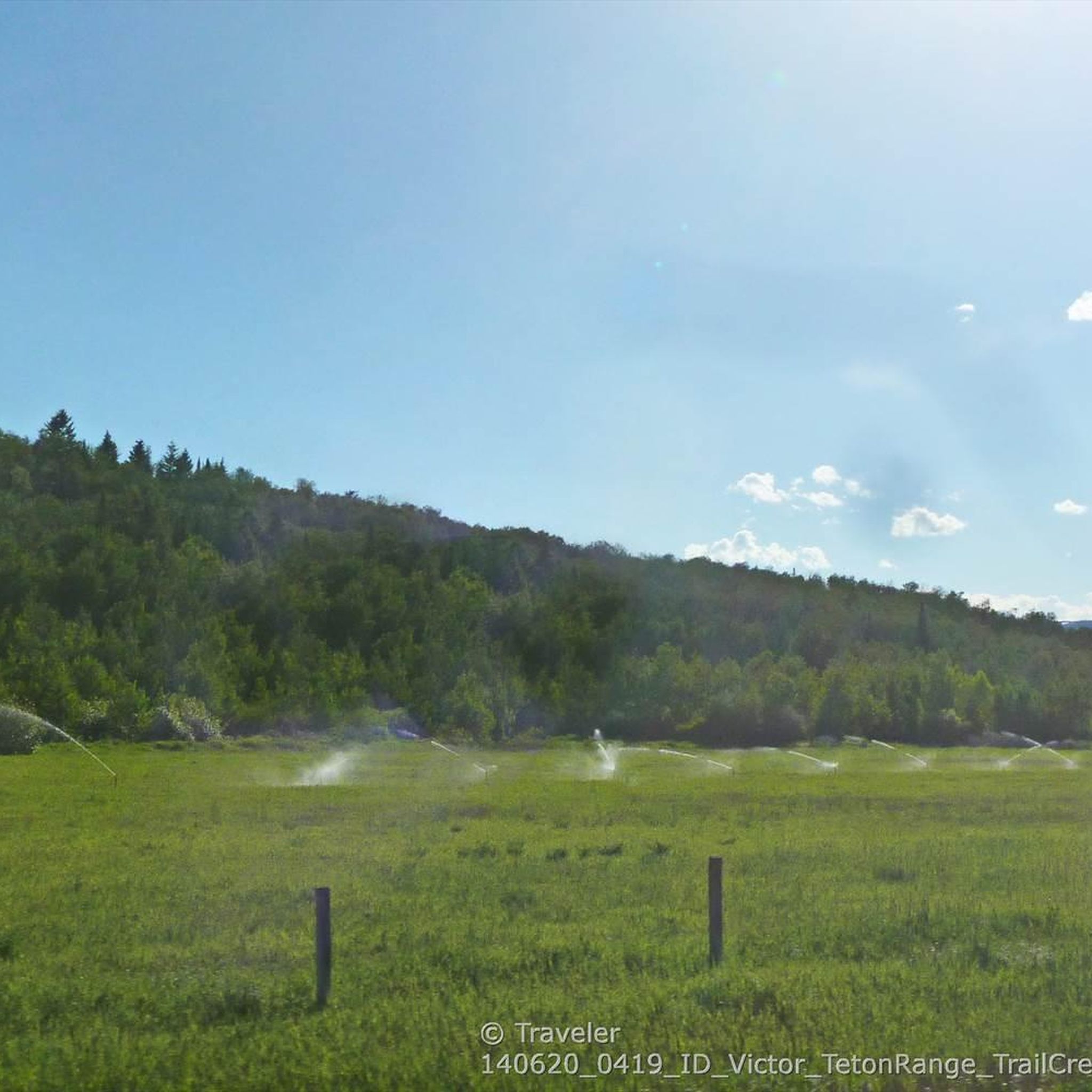
The South Victor Bike Path Loop offers a delightful mix of paved and unpaved surfaces, guiding you through the scenic Caribou-Targhee National Forest. You'll pedal past the tranquil Trail Creek - Old Jackson area and enjoy expansive views of Taylor Mountain, making for a truly picturesque touring cycling experience. The route feels relaxed and inviting, perfect for soaking in the natural beauty of the Victor, Idaho landscape.
Planning your ride is simple, as there's a convenient parking lot located right at the trailhead. This makes it easy to get started on your adventure without any fuss. The trail is generally accessible and enjoyable for most of the year, though checking local conditions is always a good idea, especially outside of peak season.
What sets this 9.2-mile (14.9 km) loop apart is its versatility; despite being rated moderate with 633 feet (193 metres) of elevation gain, it's suitable for nearly all skill levels, taking about 1 hour and 5 minutes. Unlike more technical options like the Southern Valley Trails, this route provides a balanced blend of challenge and accessibility, making it a great choice for a wide range of touring cyclists seeking natural beauty without extreme difficulty.
25.5km
01:37
160m
160m
The Driggs to Stateline Rd & Ski Hill Rd loop offers a dynamic touring cycling experience, transitioning from the serene agricultural fields of the Teton Valley to the challenging ascents of Ski Hill Road. You'll pedal past vast farmlands with the stunning Teton Mountains as your constant backdrop, especially prominent along South Stateline Road. The route provides a rewarding blend of flat valley cruising and a significant climb, making it a great option for cyclists who enjoy varied terrain and panoramic views.
For planning your ride, consider starting from Driggs, where you'll find general parking availability. The best time to tackle this moderate 15.8-mile (25.5 km) loop, which involves 540 feet (165 metres) of elevation gain and takes about 1 hour and 37 minutes, is during the warmer months from late spring to early fall. Be prepared for the sustained climb on Ski Hill Road, and always carry sufficient water for the duration of your ride.
This loop is a fantastic way to experience the diverse cycling landscape of the Teton Valley, renowned for its strong cycling culture and picturesque scenery. It showcases the region's mix of easy valley rides and more challenging mountain roads, providing a taste of what makes cycling in the Driggs area so appealing. The unparalleled backdrop of the Teton Mountains is a major draw, offering memorable vistas throughout your journey.
5.0
(7)
101
riders
44.6km
02:31
100m
100m
Moderate bike ride. Good fitness required. Mostly paved surfaces. Suitable for all skill levels.
Get access to more routes and recommendations from other explorers.
Already have an account?
Our route recommendations are based on thousands of hikes, rides, and runs completed by other people on komoot.
Start today with a free account
Your next adventure awaits.
Popular around Idaho

Other adventures in Idaho


Tips from the Community


Sandy Point Beach is just off the Boise River Greenbelt in Lucky Peak Dam State Park. Sandy Point offers restrooms, showers, picnic tables, a disc golf course, sand volleyball courts, and a swim beach.
0
0

Winding through Boise for 25 miles, the Boise River Greenbelt is a favorite hiking destination. With its tree-lined paths along the river, it offers scenic views and wildlife sightings. However, it's also a popular biking spot, so hikers should stay alert for cyclists zooming by.
0
0
Covering 25 scenic miles in Boise, the Boise River Greenbelt is a beloved biking destination. With tree-lined paths tracing the river's edge, cyclists can enjoy stunning views, wildlife sightings, and easy access to riverside parks, making it perfect for biking adventures.
0
0

True to its name, this location boasts a beautiful sandy beach and shallow waters, retaining warmth compared to other river spots. Alongside picnic areas and volleyball courts, the park offers access to trails, adding an adventurous dimension to your outdoor experience.
0
0

This is just a small portion of the 25 mile long Boise River Greenbelt. As the name suggests the trail travels along the banks of the Boise River through many of the city's best parks and green spaces. It also provides access to a number of great coffee shops & restaurants.
0
0
Ann Morrison Park has something for everybody. There are soccer & softball fields, tennis courts, a disc golf course, and even a cricket pitch! It's also a common take out point for those floating the river from Barber Park further east. Needless to say it's easy to pass the day here with the family no mater what your chosen activity is.
0
0

The Boise River is a 102-mile river that flows at elevations over 10,000 feet through the Sawtooth Mountain Range. It also flows through the city of Boise.
0
0
Frequently Asked Questions
How many touring cycling routes are available in Idaho?
Idaho offers a wide selection of touring cycling routes, with over 240 options available. These routes cater to various skill levels, from easy greenbelt loops to more challenging long-distance tours through diverse landscapes.
What types of terrain can I expect on Idaho's touring cycling routes?
Idaho's touring cycling routes feature diverse terrain. You'll find many "rails-to-trails" conversions, which are generally flat and often paved, like the Ashton-Tetonia Rail Trail Loop. The state also boasts scenic byways with challenging ascents through mountainous regions, as well as paths along rivers and lakes, offering a mix of surfaces and elevations.
Are there touring cycling routes suitable for beginners or families in Idaho?
Yes, Idaho has many easy and family-friendly touring cycling routes. The state's extensive network of "rails-to-trails" paths and greenbelts are ideal for relaxed rides. For example, the Idaho Falls Greenbelt loop is an easy, paved path following the Snake River, perfect for all ages. Another great option is the Sunnyside Bike Path loop, which is also easy and offers pleasant scenery.
Can I find challenging touring cycling routes in Idaho?
Absolutely. While many routes are easy, Idaho also offers more challenging touring cycling experiences, particularly along its scenic byways and in mountainous regions. These routes can feature significant elevation gains and longer distances, providing a good test for experienced cyclists. The Ashton-Tetonia Rail Trail Loop, for instance, is a difficult 61.6-mile route with considerable elevation changes.
Are there options for long-distance or multi-day touring in Idaho?
Yes, Idaho is well-suited for long-distance and multi-day touring. The state's extensive network of trails and scenic byways, including famous routes like the Trail of the Coeur d'Alenes and the International Selkirk Loop, provide ample opportunities for extended cycling adventures. Routes like the Cedron-Bates Teton Valley Loop offer a moderate 31.6-mile journey, while the Ashton-Tetonia Rail Trail Loop extends to nearly 100 km, ideal for longer excursions.
What natural attractions can I see along Idaho's touring cycling routes?
Idaho's touring cycling routes often pass through stunning natural landscapes. You can expect to see rugged mountains like the Sawtooths, pristine lakes such as Lake Coeur d'Alene, and scenic rivers like the Snake and Boise. Unique geological formations include the otherworldly lava fields of Craters of the Moon National Monument and Preserve, and the spectacular granite spires of City of Rocks National Reserve. Don't miss Table Rock Viewpoint for panoramic vistas or the impressive Top of Inferno Cone.
Are there any circular touring cycling routes in Idaho?
Yes, many touring cycling routes in Idaho are designed as loops, offering a convenient way to explore without needing a return trip along the same path. Examples include the Idaho Falls Greenbelt loop, the Sunnyside Bike Path loop, and the Ashton-Tetonia Rail Trail Loop, all of which provide circular journeys through Idaho's scenic areas.
What is the best time of year for touring cycling in Idaho?
The best time for touring cycling in Idaho is generally from late spring through early fall (May to October). During these months, the weather is typically mild, and most trails and scenic byways are free of snow. Summer offers warm temperatures, while spring and fall provide cooler rides and vibrant foliage, especially in forested areas.
Can I expect to see wildlife while cycling in Idaho?
Yes, many of Idaho's touring cycling routes traverse natural habitats, offering excellent opportunities for wildlife viewing. Along trails like the Trail of the Coeur d'Alenes, you might spot moose, coyotes, otters, beavers, and various bird species. The Boise River Greenbelt is also known for its diverse birdlife and other small animals.
What do other touring cyclists enjoy most about touring cycling in Idaho?
The touring cycling routes in Idaho are highly rated by the komoot community, with an average score of 4.7 stars from over 180 reviews. Cyclists often praise the state's diverse landscapes, from the smooth, accessible "rails-to-trails" paths to the breathtaking mountain scenery. The opportunity to explore pristine lakes, rivers, and unique geological formations, combined with well-maintained trails, makes for a highly enjoyable experience.
Are there any specific state parks that are good for touring cycling in Idaho?
Idaho State Parks serve as excellent base camps for cycling adventures. Parks like Heyburn State Park, Ponderosa State Park, and Lucky Peak State Park offer access to various road and mountain biking trails. Farragut State Park, for instance, boasts over 40 miles of multi-use trails suitable for different biking styles, including e-bikes.
Where can I find information about parking and access points for Idaho's bike trails?
Many of Idaho's popular bike trails, especially the "rails-to-trails" conversions and greenbelts, have designated parking areas and access points. For specific details on parking and trailheads, it's recommended to check local park websites or resources like recreate.idaho.gov or parksandrecreation.idaho.gov, which often provide maps and facility information for state-managed trails and parks.
Are there any routes that follow the Snake River?
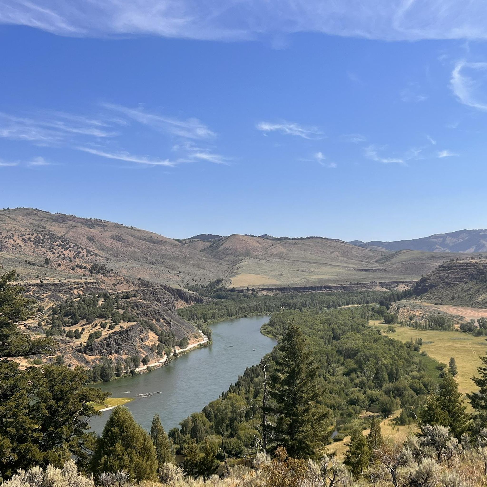
Yes, several touring cycling routes in Idaho follow the scenic Snake River. The Idaho Falls Greenbelt loop is a prime example, offering an easy ride along the river through urban parks and natural areas. Another option is the Shelley to Snake River loop, which provides a moderate journey with river views.
Most popular routes in Idaho
Most popular attractions in Idaho

Get inspired with the komoot mobile app


Didn’t find what you were looking for?
Check out more Cycling routes throughout Idaho below and find the perfect route in your destination.
Explore more
Browse the best Cycling routes in other regions.
