The best road cycling routes in Swallow Falls State Park
5.0
(1)
95
riders
14
rides
Road cycling in Swallow Falls State Park offers routes through dense forests, along river valleys, and over rolling hills. The region is characterized by its natural beauty, with varied terrain that includes both gradual ascents and more challenging climbs. Road cyclists can expect to navigate roads that wind through wooded areas and open landscapes, providing a diverse riding experience. The park's elevation changes contribute to routes with significant vertical gain, appealing to those seeking a physical challenge.
Best road cycling…
Last updated: November 2, 2026
9
riders
47.6km
02:17
630m
630m
Hard road ride. Good fitness required. You may need to push your bike for some segments of this route.
5
riders
45.2km
02:21
710m
710m
Moderate road ride. Good fitness required. Mostly well-paved surfaces and easy to ride.

17
riders
87.6km
05:00
1,710m
1,710m
Hard road ride. Very good fitness required. Mostly well-paved surfaces and easy to ride.
15
riders
39.9km
01:53
470m
470m
Moderate road ride. Good fitness required. Mostly well-paved surfaces and easy to ride.
9
riders
45.9km
02:08
510m
500m
Moderate road ride. Good fitness required. Mostly well-paved surfaces and easy to ride.
Get access to more routes and recommendations from other explorers.
Already have an account?
Our route recommendations are based on thousands of hikes, rides, and runs completed by other people on komoot.
Start today with a free account
Your next adventure awaits.
Popular around Swallow Falls State Park
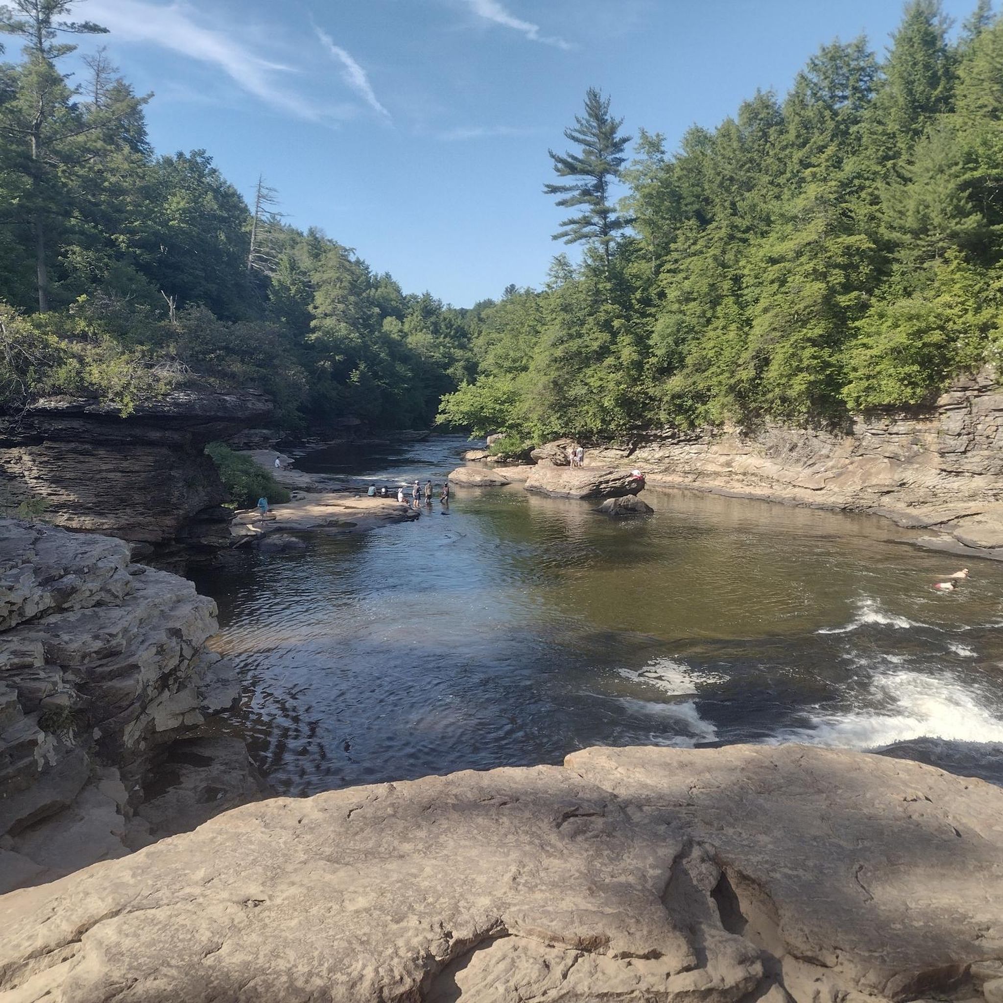
Tips from the Community

The aviary at Deep Creek Lake State Park shelters nine birds of prey. This aviary is part of the Scales & Tales program, whose goal is environmental education. The birds arrive here injured or hand-raised and cannot survive in the wild. The birds are well taken care of by workers and volunteers.
0
0

Marsh Hill's wetlands play a vital role in filtering water, preventing erosion, and providing habitat for numerous bird species, amphibians, and aquatic plants.
0
0
Frequently Asked Questions
What is the general difficulty level for road cycling routes in Swallow Falls State Park?
Road cycling in Swallow Falls State Park primarily offers routes of moderate to difficult ability levels. There are 13 moderate routes and 5 difficult routes available, providing options for experienced cyclists seeking a challenge.
Are there any easy road cycling routes suitable for beginners in Swallow Falls State Park?
The routes listed for road cycling in Swallow Falls State Park are generally categorized as moderate or difficult. There are no routes specifically designated as 'easy' within the provided data, suggesting the terrain is more suited for cyclists with some experience.
What is the typical length and duration of road cycling routes in Swallow Falls State Park?
Route lengths vary, but many are substantial. For example, the Roadbike loop from Snaggy Mountain ORV Trail Parking Lot is 29.6 miles (47.6 km) and takes about 2 hours 17 minutes. Longer options like the Chocolate Drop Hill loop from McHenry stretch to 54.9 miles (88.3 km), requiring significantly more time.
Are there family-friendly road cycling options in Swallow Falls State Park?
Given that the routes are predominantly moderate to difficult, and often involve significant elevation changes, they may not be ideal for very young children or families seeking very easy, flat rides. Cyclists should assess their family's experience and fitness levels before attempting these routes.
Where can I find parking for road biking in Swallow Falls State Park?
Many routes start from established parking areas. For instance, the popular Roadbike loop from Snaggy Mountain ORV Trail Parking Lot begins directly from the Snaggy Mountain ORV Trail Parking Lot. Other routes may start from locations like Sandy Beach or Upper Ford Hill, where parking facilities are typically available.
What is the best time of year for road biking in Swallow Falls State Park?
The best time for road cycling in Swallow Falls State Park is typically during spring, summer, and fall. Spring offers lush greenery, summer provides warm weather, and fall showcases vibrant foliage. Winters can bring snow and ice, making road conditions challenging or unsafe for cycling.
Are there any loop trails for road cycling in Swallow Falls State Park?
Yes, many of the road cycling routes in Swallow Falls State Park are designed as loops. Examples include the Roadbike loop from Snaggy Mountain ORV Trail Parking Lot, the Piney Mountain loop from Sandy Beach, and the Marsh Hill loop from Upper Ford Hill, allowing cyclists to start and finish at the same point.
What kind of terrain can I expect on road cycling routes in Swallow Falls State Park?
The terrain in Swallow Falls State Park is characterized by dense forests, rolling hills, and river valleys. Cyclists can expect a mix of wooded sections and open landscapes, with routes featuring both gradual ascents and more challenging climbs, contributing to significant vertical gain.
What do other road cyclists enjoy most about road cycling in Swallow Falls State Park?
The area is highly rated by the komoot community, with an average score of 5.0 stars. Reviewers often praise the diverse terrain, the challenging climbs, and the natural beauty of the forested areas and river valleys that define the park's cycling experience.
Are there any road cycling routes that pass by Deep Creek Lake State Park?
Yes, there is a route that incorporates the area around Deep Creek Lake. The Deep Creek Lake State Park loop from Lakewood Resorts is a moderate 20.4 miles (32.8 km) ride, offering views and terrain around this notable nearby feature.
What should I bring for road biking in Swallow Falls State Park?
Given the varied terrain and potential for challenging climbs, it's advisable to bring appropriate gear including a well-maintained road bike, helmet, water, snacks, repair kit, and navigation tools. Weather can change, so layers are recommended, especially for longer rides.
Are there any cafes or amenities near the road cycling routes in Swallow Falls State Park?
While the routes themselves traverse natural areas, nearby towns and communities surrounding Swallow Falls State Park, such as McHenry or Oakland, offer various amenities including cafes, restaurants, and shops where cyclists can refuel and rest.
Most popular routes in Swallow Falls State Park

Get inspired with the komoot mobile app


Explore more
Browse the best Road cycling routes in other regions.
