The best walks and hikes in Gunpowder Falls State Park Hereford Area
3.0
(2)
72
hikers
26
hikes
Hikes in Gunpowder Falls State Park Hereford Area navigate a landscape defined by the Big Gunpowder Falls river valley. The region is characterized by dense forests, steep, rocky slopes, and small ravines. Trails often follow the river and its tributaries, with routes passing through stands of eastern hemlock, chestnut oak, and mountain laurel.
Best hiking trails in Gunpowder Falls State Park Hereford Area
- The most popular hiking route is the Panther & Gunpowder South Trails loop, a 4.0 mile (6.4 km) trail that takes about 1 hour 45 minutes to complete. This easy route follows a path along the Big Gunpowder Falls.
- Another top favourite among local hiking enthusiasts is the Mingo Forks & Bunker Hill Trails loop, a moderate 5.7 mile (9.2 km) path. The trail involves some elevation gain as it moves through the area's wooded hills.
- Local hiking enthusiasts also love the Gunpowder South & Highland Trails from Prettyboy Dam loop, a 4.1 mile (6.5 km) trail leading through the forest near the reservoir, often completed in about 1 hour 50 minutes.
- Hiking in Gunpowder Falls State Park Hereford Area is defined by riverside paths, dense woodlands, and rolling hills. The trail network offers a selection of easy and moderate routes for different ability levels.
- The guide includes highly-rated routes that showcase the best of the region's landscape. More than 50 hikers have used komoot to explore Gunpowder Falls State Park Hereford Area's varied terrain.
Last updated: May 12, 2026
3
hikers
11.5km
03:14
240m
240m
Moderate hike. Good fitness required. Easily-accessible paths. Suitable for all skill levels.
1
hikers
3.51km
01:00
80m
80m
Easy hike. Great for any fitness level. Easily-accessible paths. Suitable for all skill levels.

Sign up for free
3.05km
00:52
50m
90m
Easy hike. Great for any fitness level. Easily-accessible paths. Suitable for all skill levels.
9
hikers
6.40km
01:47
120m
120m
Easy hike. Great for any fitness level. Easily-accessible paths. Suitable for all skill levels.
1.0
(1)
8
hikers
6.53km
01:50
130m
130m
Easy hike. Great for any fitness level. Easily-accessible paths. Suitable for all skill levels.
Get access to more routes and recommendations from other explorers.
Sign up for free
Already have an account?
Our route recommendations are based on thousands of hikes, rides, and runs completed by other people on komoot.
Start today with a free account
Your next adventure awaits.
Login or Signup
Tips from the Community

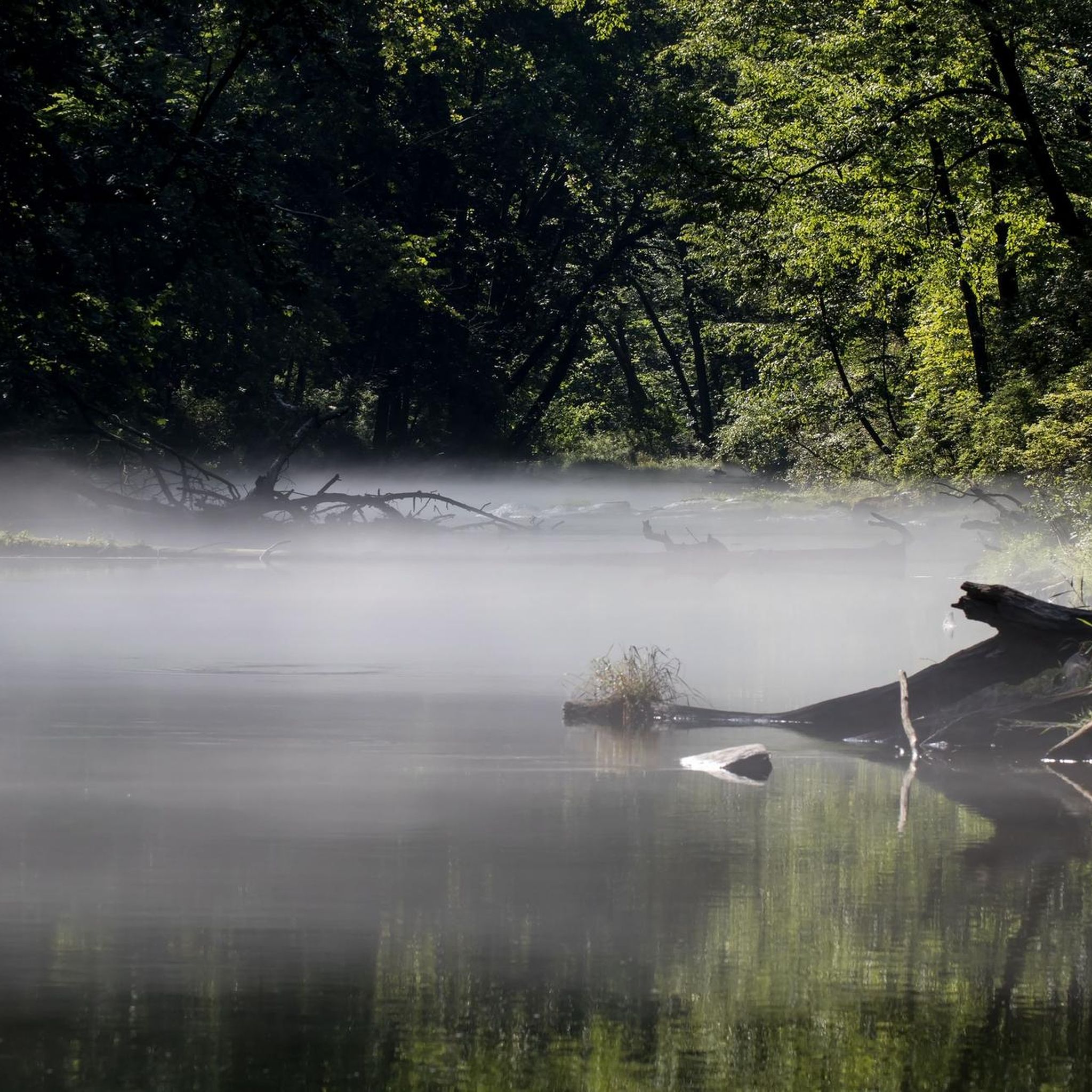
Gunpowder Falls flows through big parts of Gunpowder Falls State Park and therefore is the namesake of the area. In the Hereford Area, activities like canoeing, kayaking, and tubing are very popular.
0
0
Prettyboy Dam is damming up 19 billion gallons at Prettyboy Reservoir. The reservoir provides more than 60% of Baltimore's drinking water and is owned by the city of Baltimore, even though it's in the county.
0
0
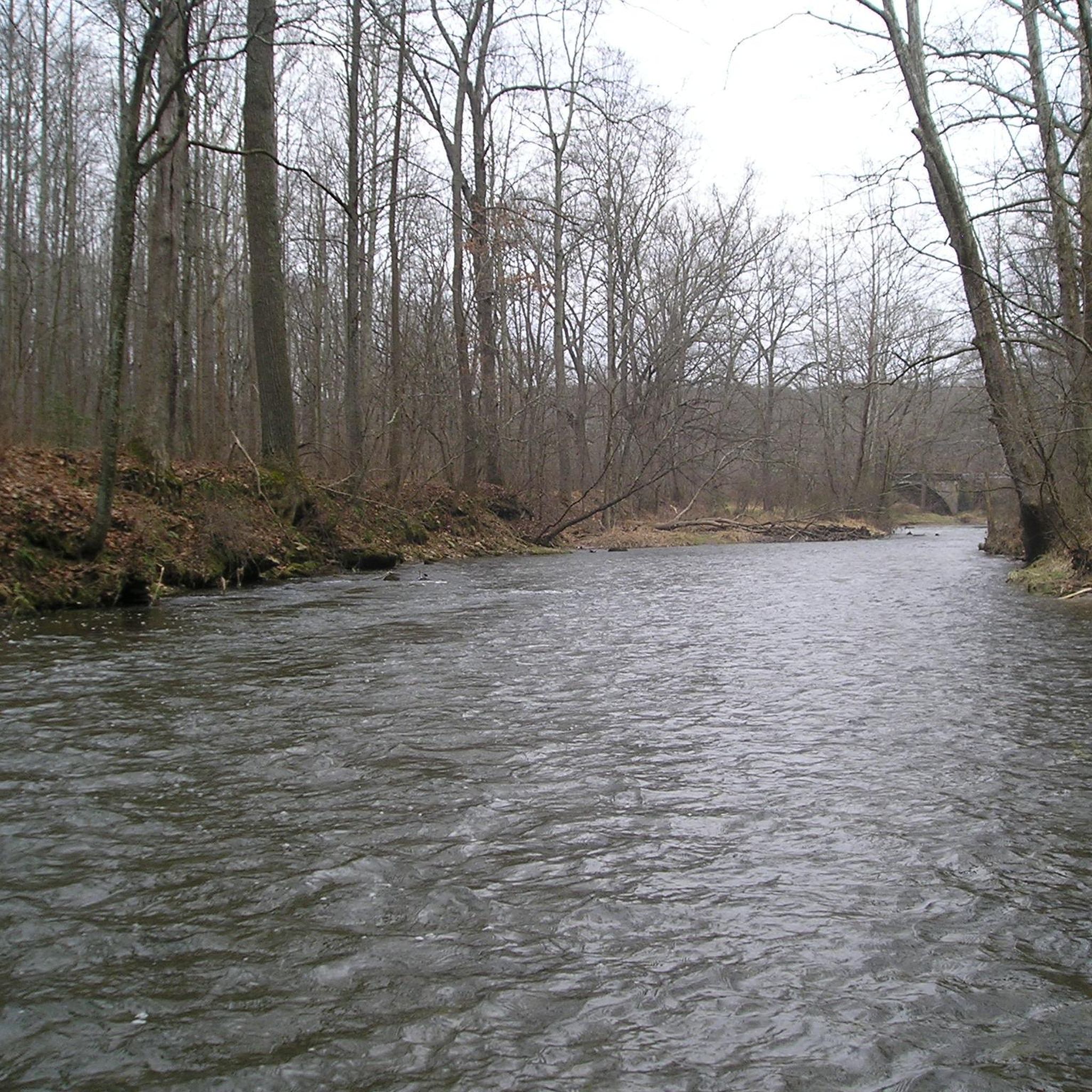
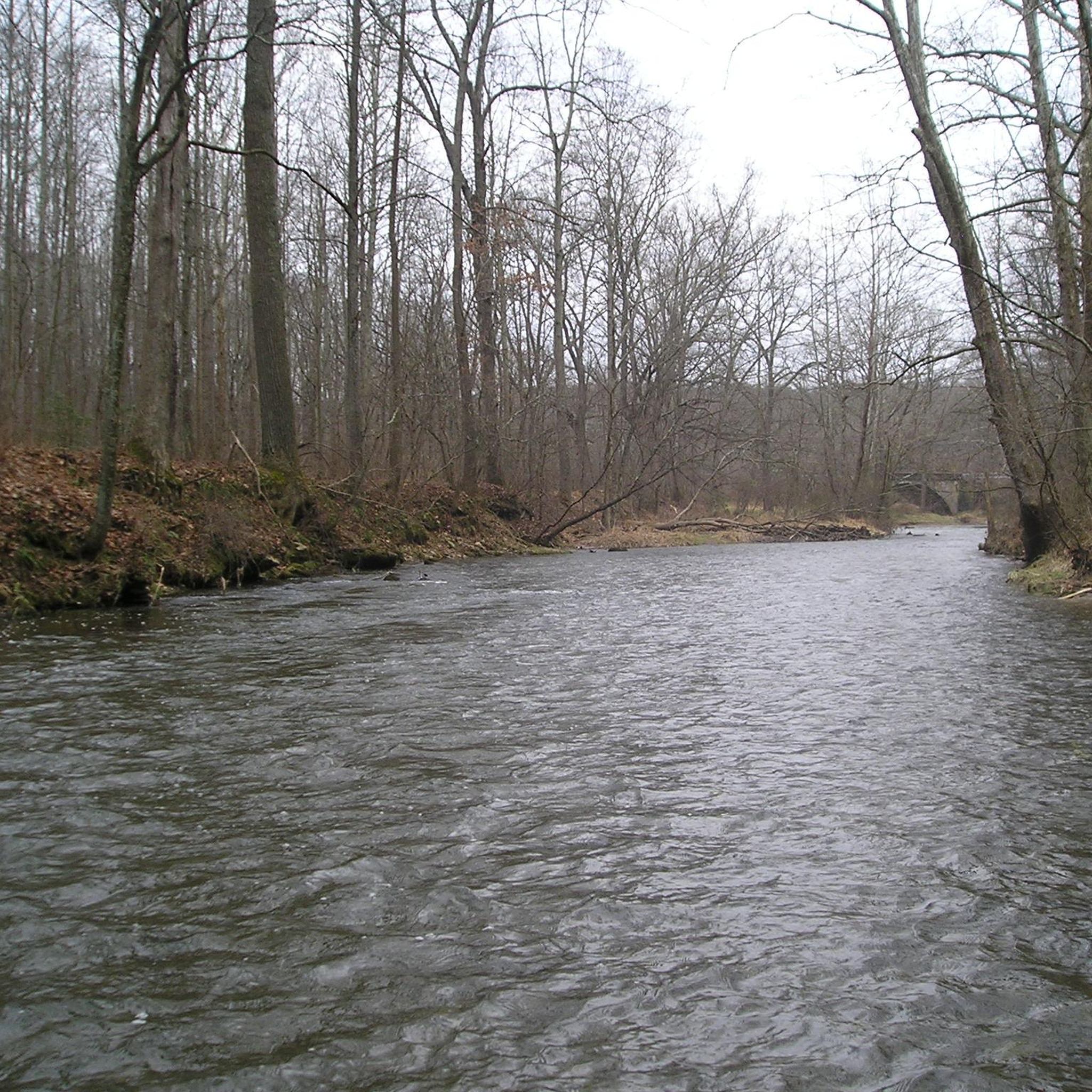
Gunpowder South Trail leads through big parts of Gunpowder Falls State Park Hereford Area and always along the southern shore of the river. The trail connects to various other trails along the path, so there are a lot of possibilities to skip some parts through the inland.
0
0
Panther Trail is one of numerous trails in the Gunpowder Falls State Park Hereford Area. The natural path takes you through beautiful forest and along Panther Branch. The trail is the perfect connection to make a loop out of Gunpowder South Trail.
0
0
Highland Trail is located in the Hereford Area of Gunpowder Falls State Park. It serves as an inland connection between the two parts of Gunpowder South Trail along the river of the same name and makes it a loop.
0
0
Prettyboy Dam is damming up 19 billion gallons at Prettyboy Reservoir. The reservoir provides more than 60% of Baltimore's drinking water and is owned by the city of Baltimore even though it's in the county.
0
0
Gunpowder Falls flows through big parts of Gunpowder Falls State Park and therefore is the namesake of the area. In the Hereford Area, activities like canoeing, kayaking and tubing are very popular.
0
0
Frequently Asked Questions
Are dogs allowed on the trails in the Hereford Area?
Yes, dogs are generally permitted on trails in Gunpowder Falls State Park, including the Hereford Area, as long as they are kept on a leash. It's always a good practice to check the official park regulations for any updates before your visit. You can find more information on the official Hereford Area page.
What are the parking options for the Hereford Area trails?
There are several designated parking areas and trail access points along York Road, Bunker Hill Road, and Masemore Road that serve the main trail network. These are typically small, unpaved lots. Parking can fill up quickly, especially on weekends, so arriving early is recommended to secure a spot.
Are there any easy, family-friendly hikes in the Hereford Area?
Absolutely. The park offers several gentler options suitable for families. A great choice is the Prettyboy Dam loop, a relatively flat 2.8-mile (4.5 km) walk that offers lovely forest scenery without strenuous climbs.
Can I go trail running in the Hereford Area?
Yes, the Hereford Area is a popular spot for trail running. The varied terrain, with its mix of riverside flats and rolling hills, offers a great challenge. The Mingo Forks Trail loop is a good option, providing a solid 3.9-mile (6.3 km) run with moderate elevation changes to get your heart pumping.
Are there any waterfalls in this part of the park?
The Hereford Area is primarily known for the scenic Big Gunpowder Falls river rather than large, distinct waterfalls. The trails follow the river's flow, which features many beautiful cascades, rapids, and rocky sections that create the sound and feel of moving water, especially after rainfall.
What are the trail conditions like?
Trails in the Hereford Area are generally natural-surface paths through the forest. They can be rocky and root-covered, with some steep sections. After rain, trails can become muddy and stream crossings may have higher water levels. Sturdy, waterproof hiking shoes are recommended. For the most current information, it's wise to check the official Gunpowder Falls State Park website for any alerts or closures.
Are there any long-distance loop hikes available?
Yes, you can combine several trails to create a longer hike. The Mingo Forks & Bunker Hill Trails loop is a great moderate option covering 5.7 miles (9.2 km) through the area's wooded hills, offering a more challenging day out on the trails.
Can I get to the Hereford Area using public transport?
Accessing the Hereford Area via public transportation is very difficult. The trailheads are located in a rural part of Baltimore County with limited to no service. Traveling by car is the most practical way to reach the park's various parking lots and access points.
Are horses allowed on the trails?
Yes, many of the trails in the Hereford Area are multi-use and open to equestrians. Trails like Panther Branch, Mingo Forks, and Bunker Hill are popular with horseback riders. Hikers should be aware and prepared to share the trail.
Where can I find a good trail map?
The komoot app provides detailed digital maps for navigation on all the routes listed in this guide. For a general overview, the Maryland Department of Natural Resources provides official maps. You can view and download them from the Hereford Area trails page.
Are there any good trails for fishing access?
Yes, the Hereford Area is renowned for its trout fishing. The Lefty Kreh Fishing Trail, formerly known as the Gunpowder South Trail, runs directly alongside the Big Gunpowder Falls and is specifically managed for anglers. The Panther & Gunpowder South Trails loop incorporates a section of this path, making it ideal for a combined hike and fishing trip.
Most popular routes in Gunpowder Falls State Park Hereford Area

Get inspired with the komoot mobile app


Explore more
Browse the best Hikes in other regions.
