The best walks and hikes in Patapsco Valley State Park Ilchester Area
4.5
(145)
1,711
hikers
129
hikes
Hiking in Patapsco Valley State Park Ilchester Area offers diverse landscapes along the Patapsco River. The region is characterized by dense forests, rolling hills, and river valleys, providing a scenic backdrop for outdoor activities. Hikers can explore trails alongside the river, discover waterfalls like Cascade Falls, and encounter prominent rock outcrops such as Buzzards Rock. The area also features historical remnants, adding a unique dimension to the natural terrain.
Best hiking trails in Patapsco Valley State Park Ilchester Area
- The…
Last updated: October 1, 2026
5
hikers
2.78km
00:47
90m
0m
The Trolley Line #9 Trail offers a delightful journey through shaded woodlands, following a paved path that winds alongside the Cooper Branch stream. You'll encounter impressive 100-foot-high, hand-cut granite walls,…
4.58km
01:24
120m
120m
Embark on the Sawmill Branch and Buzzards Rock Loop for a moderate hiking experience through varied terrain in Patapsco Valley State Park. This 2.8-mile (4.6 km) route guides you through…

828m
00:13
0m
20m
The Sawmill-Ilchester Connector offers a delightful, easy walk through the lush, forested valleys of Patapsco Valley State Park. You'll find yourself on a well-maintained path of crushed gravel or compacted…
31
hikers
5.10km
01:24
90m
90m
Easy hike. Great for any fitness level. Easily-accessible paths. Suitable for all skill levels.
5.0
(1)
20
hikers
5.13km
01:22
50m
50m
Moderate hike. Great for any fitness level. Mostly accessible paths. Sure-footedness required.
Get access to more routes and recommendations from other explorers.
Already have an account?
Our route recommendations are based on thousands of hikes, rides, and runs completed by other people on komoot.
Start today with a free account
Your next adventure awaits.

Tips from the Community

It gets very cold as you get close to Patapsco River near the bridge. The bridge does move a little but very secure as you cross it. Be mindful if you’re wearing a skirt (Ms Monroe)
0
0


Here you can find a bench where you can sit and enjoy views of the Patapsco River.
0
0

The Grist Mill Trail crosses over the Patapsco River here. You get a great view over the water from here too.
0
0

This area of Patapsco Park is less frequently trafficked, but just as pleasant as the southern trail system. A true hidden gem! There are a few small stream crossings and plenty of interconnected trails to explore.
0
0

Ellicott town, captivates cyclists with its charming blend of historic architecture, tree-lined streets, and inviting local shops. The town's scenic beauty and welcoming atmosphere create an ideal stop for cyclists seeking a relaxing break, cultural exploration, and the warmth of a friendly community on their journey.
0
0

Patapsco Valley State Park Hilton Area invites with its scenic beauty along the Patapsco River. Trails weave through wooded landscapes, offering a perfect blend of nature and recreation for visitors.
0
0

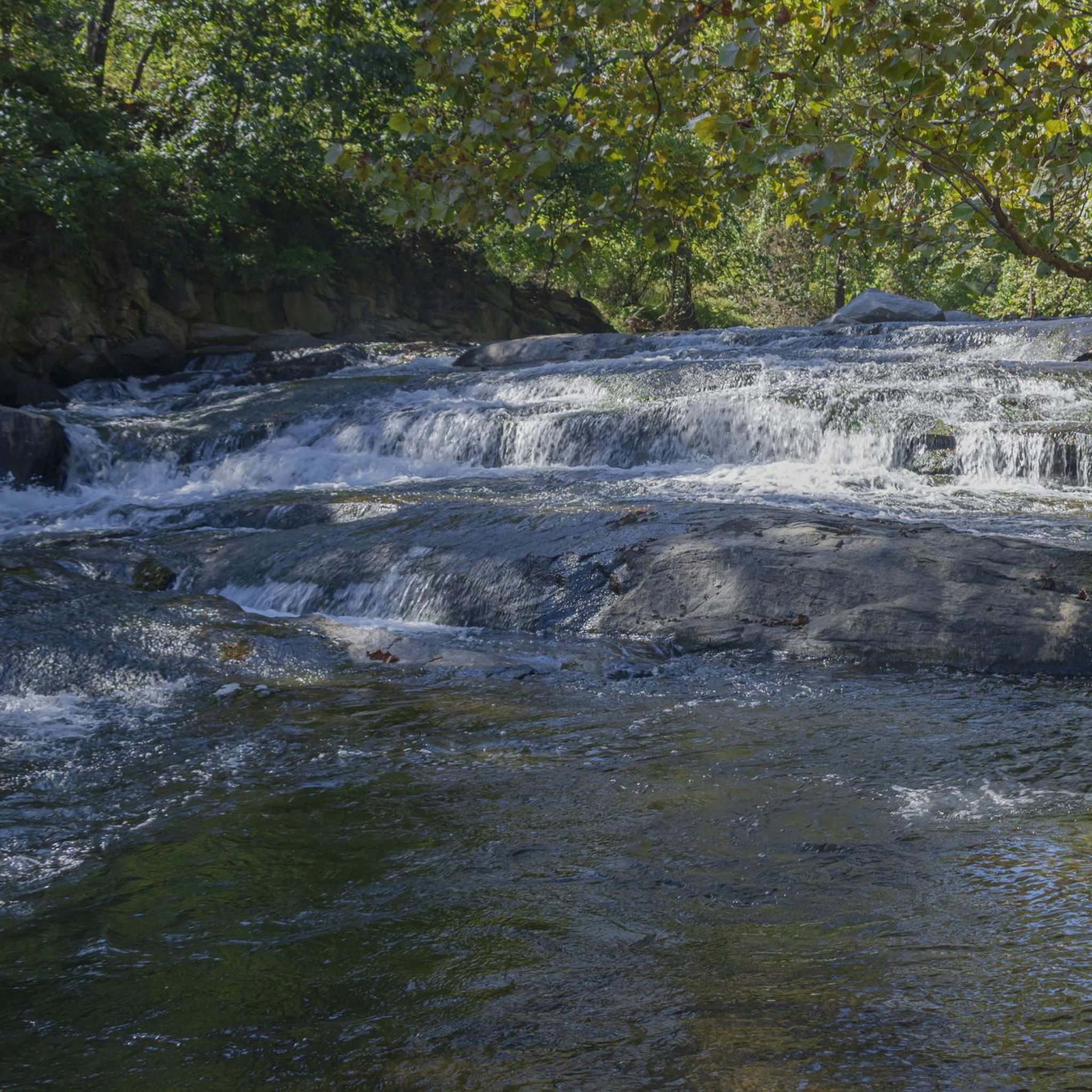
Small waterfall created by Cascade Creek. Great place to take a break.
0
0
Frequently Asked Questions
How many hiking trails are available in Patapsco Valley State Park Ilchester Area?
The Patapsco Valley State Park Ilchester Area offers a wide selection of hiking opportunities, with over 100 routes recorded on komoot. These trails cater to various skill levels, from easy strolls to more challenging climbs.
What kind of terrain can I expect on the hiking trails in the Ilchester Area?
Hikers in the Ilchester Area will encounter diverse terrain, including dense forests, picturesque river valleys along the Patapsco River, and rolling hills. Some trails are paved, like the Grist Mill Trail, while others are natural-surface paths that can involve significant climbs alongside streams and waterfalls.
Are there any family-friendly hiking options in Patapsco Valley State Park Ilchester Area?
Yes, the Ilchester Area has several family-friendly options. The Grist Mill Trail is a paved, multi-use path ideal for families and those seeking a less strenuous outing. It runs along the Patapsco River and passes historic sites, offering an accessible experience. Approximately 60 of the routes in the area are rated as easy, making them suitable for families.
Can I bring my dog on the hiking trails in the Ilchester Area?
Patapsco Valley State Park is generally dog-friendly, but it's always best to check specific park regulations regarding leashes and restricted areas. Many trails, especially those along the river and through the woodlands, are popular with dog owners. Ensure your dog is on a leash and you clean up after them.
What natural features or landmarks can I see while hiking in the Ilchester Area?
The Ilchester Area is rich in natural beauty and historical sites. You can discover several waterfalls, including Cascade Falls, a highlight on routes like the Morning Choice and Cascade Falls loop. The Buzzards Rock trail leads to a prominent rock outcrop offering river views. Additionally, hikers can explore historic ruins, remnants of the former River Road, and the famous swinging bridges that cross the Patapsco River.
Are there any trails with significant elevation changes or challenging sections?
Yes, while there are many easy paths, the Ilchester Area also offers trails with more significant climbs. For example, the Sawmill Branch and Buzzards Rock Loop is a moderate route featuring climbs alongside streams and leading to the Buzzards Rock outcrop. Overall, there are 53 moderate and 5 difficult routes available for those seeking a greater challenge.
What is the best time of year to go hiking in Patapsco Valley State Park Ilchester Area?
The Patapsco Valley State Park Ilchester Area is beautiful year-round. Spring brings lush greenery and blooming wildflowers, while autumn offers stunning fall foliage. Summer is popular for river activities, and winter can provide serene, snow-covered landscapes. Always check weather conditions before heading out, especially for potential ice or mud on trails.
Are there any historical sites or ruins to explore on the trails?
Absolutely. The Ilchester Area is steeped in history. Trails lead past remnants of Maryland's industrial past, including the ruins of the former River Road, washed out by Hurricane Agnes in 1972. You can also find the ruins of St. Mary's College, foundations of old mills, and the dismantled Bloede's Dam. The Thomas Viaduct is another significant historical point of interest nearby.
What do other hikers enjoy most about the trails in Patapsco Valley State Park Ilchester Area?
The trails in Patapsco Valley State Park Ilchester Area are highly rated by the komoot community, with an average score of 4.7 stars from over 100 reviews. Hikers frequently praise the diverse landscapes, the scenic river views, the blend of natural beauty with historical exploration, and the variety of trail difficulties available.
Are there any loop trails available in the Ilchester Area?
Yes, many trails in the Patapsco Valley State Park Ilchester Area are designed as loops, offering varied scenery without retracing your steps. An example is the Sawmill Branch and Buzzards Rock Loop, which provides a comprehensive experience of the area's natural features and viewpoints.
Where can I find parking for the hiking trails in Patapsco Valley State Park Ilchester Area?
Patapsco Valley State Park has multiple access points and parking lots throughout its various areas, including Ilchester. Specific parking availability can vary by trailhead. It's advisable to check the park's official website or komoot tour details for designated parking areas near your chosen starting point.
Most popular routes in Patapsco Valley State Park Ilchester Area

Get inspired with the komoot mobile app


Explore more
Browse the best Hikes in other regions.
