Patapsco Valley State Park Mckeldin Area
Patapsco Valley State Park Mckeldin Area
The best road cycling routes in Patapsco Valley State Park Mckeldin Area
4.0
(1)
58
riders
25
rides
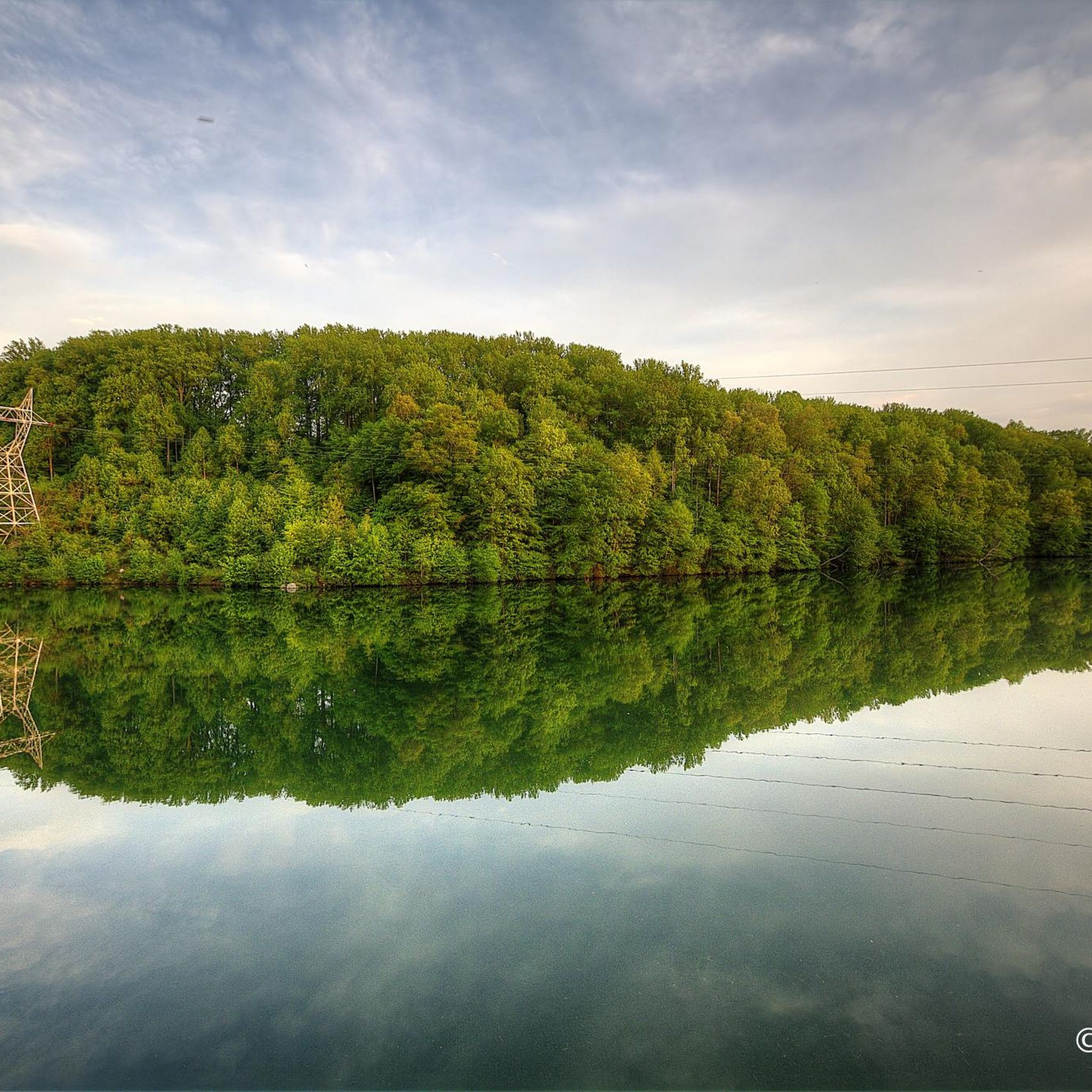
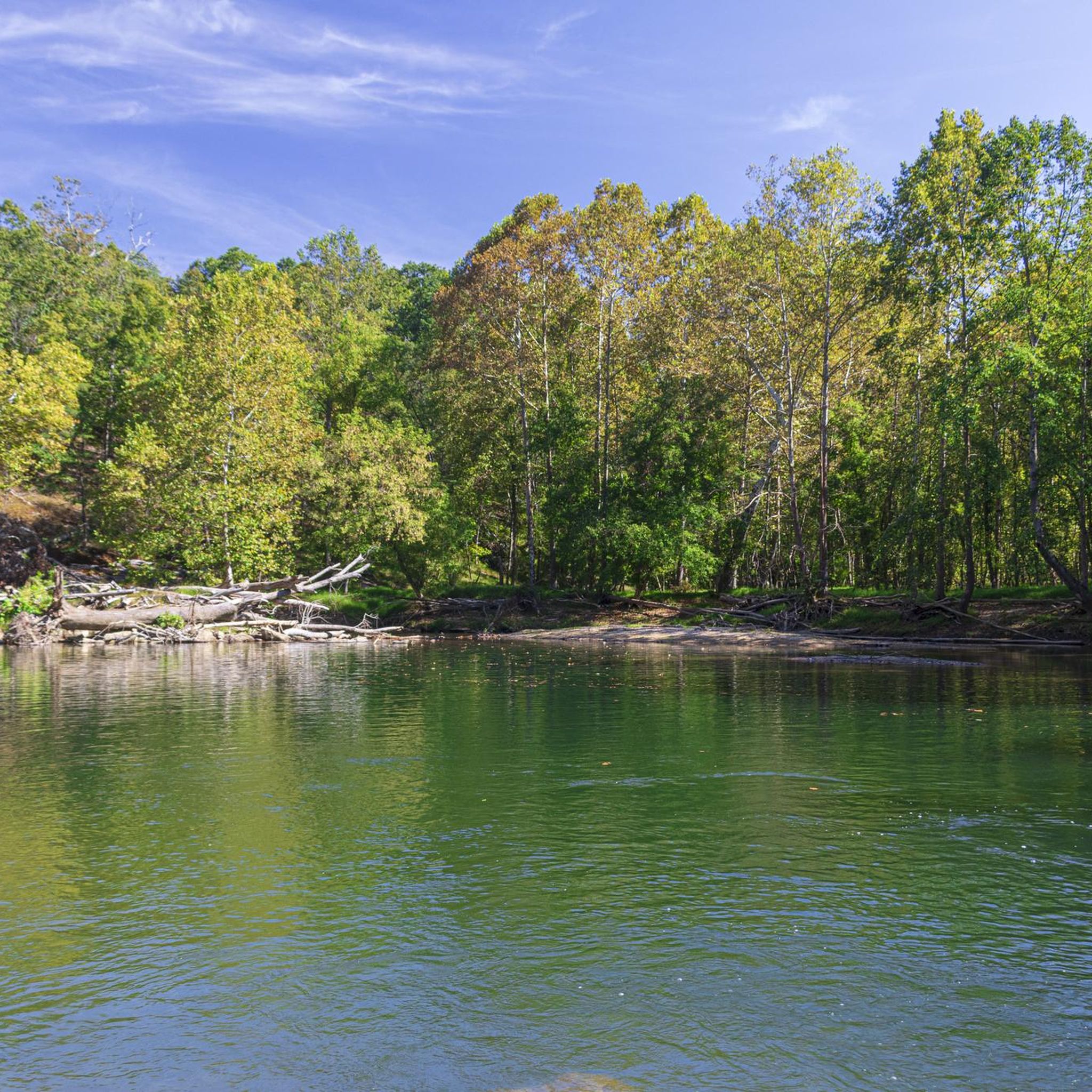
Road cycling routes in Patapsco Valley State Park Mckeldin Area traverse a landscape characterized by rolling hills, lush forests, and river courses. The area lies at the confluence of the North and South branches of the Patapsco River, offering varied terrain for cyclists. Located within the Piedmont physiographic province, the region features generally hilly sections interspersed with flatter areas in the river floodplains. Cyclists can encounter massive rock outcrops and palisades along some riverside trails.
Best road cycling routes in…
Last updated: May 17, 2026
6
riders
58.2km
02:34
570m
570m
Moderate road ride. Good fitness required. Mostly well-paved surfaces and easy to ride.
8
riders
Moderate road ride. Good fitness required. Some segments of this route may be unpaved and difficult to ride.

Sign up for free
9
riders
Moderate road ride. Good fitness required. Some segments of this route may be unpaved and difficult to ride.
7
riders
Moderate road ride. Good fitness required. Some segments of this route may be unpaved and difficult to ride.
4.0
(1)
2
riders
Moderate road ride. Good fitness required. Some segments of this route may be unpaved and difficult to ride.
Get access to more routes and recommendations from other explorers.
Sign up for free
Already have an account?
Our route recommendations are based on thousands of hikes, rides, and runs completed by other people on komoot.
Start today with a free account
Your next adventure awaits.
Login or Signup
Popular around Patapsco Valley State Park Mckeldin Area


Tips from the Community

It gets very cold as you get close to Patapsco River near the bridge. The bridge does move a little but very secure as you cross it. Be mindful if you’re wearing a skirt (Ms Monroe)
0
0

This is a smooth, winding road through bucolic Maryland countryside. Great scenic alternative to riding on Route 97/Roxbury Mills Road,
0
0

Patapsco Valley State Park is a sprawling, 16,000‑acre woodland reserve stretching 32 miles along the Patapsco River. The park is full of trails to take you through the wooded park.
0
0
The Cycle Mill Bike Shop is a helpful, local bike shop. If you need to pick up anything during your ride, or need something looked at, it is a good choice.
0
0

The Patapsco Valley was Maryland's first and remains its largest state park. The 14,000 acres (5,700 ha) are made up of forests, winding rivers and cascading waterfalls. It's a great place for hiking, camping, canoeing, horseback riding and mountain biking. Or simply just bring a picnic and relax by the river. Some historical sites are also worth visiting in the park such as the Thomas Viaduct and Orange Grove Flour Mill.
0
0

Ellicott town, captivates cyclists with its charming blend of historic architecture, tree-lined streets, and inviting local shops. The town's scenic beauty and welcoming atmosphere create an ideal stop for cyclists seeking a relaxing break, cultural exploration, and the warmth of a friendly community on their journey.
0
0

Located in Owings Mills, the Red Run Stream Valley Trail follows the course of the name-giving stream. It provides a scenic hike through woodlands and open spaces. The trail connects Owings Mills with the Soldiers Delight Natural Environment Area.
0
0

The Patapsco Valley State Park includes over 16,043 acres and eight developed recreational areas. The Marriottsville Area is one of them. With over 16,000 acres of forest, you will be cycling past some beautiful scenery here in the Marriottsville section.
0
0
Frequently Asked Questions
How challenging are the road cycling routes in Patapsco Valley State Park McKeldin Area?
The road cycling routes in the McKeldin Area cater to various fitness levels. You'll find 4 easy routes, 19 moderate routes, and 4 more difficult options. The terrain generally features rolling hills, with some routes including significant elevation changes, while others offer flatter sections in river floodplains.
What kind of terrain can I expect on road cycling routes in the McKeldin Area?
The McKeldin Area is characterized by diverse terrain, including rolling hills, lush forests, and scenic river views, particularly at the confluence of the North and South branches of the Patapsco River. You might also encounter massive rock outcrops and palisades along some riverside trails.
Are there road cycling routes with significant elevation gain in the McKeldin Area?
Yes, many routes in the McKeldin Area feature notable elevation changes due to the region's hilly nature. For example, the Roadbike loop from Marriottsville covers 58.2 km with over 570 meters of elevation gain, offering a good challenge for those seeking climbs.
What natural features can I see while road cycling in Patapsco Valley State Park McKeldin Area?
While cycling, you can enjoy picturesque river views, especially near the McKeldin Falls, which are beautiful to observe. During late fall and winter, the Liberty Dam Overlook offers a scenic view of the lake. The area also boasts lush forests, rolling hills, and impressive rock outcrops along the riverside.
Are there any interesting landmarks or viewpoints along the road cycling routes?
Yes, the area offers several points of interest. You can cycle past the scenic McKeldin Falls, enjoy views of the North Branch Patapsco River, and experience the natural beauty of Patapsco Valley State Park McKeldin Area itself. The Switchback Trail, while multi-use, also offers scenic sections.
Are there any family-friendly road cycling routes in Patapsco Valley State Park McKeldin Area?
For families or those looking for an easier ride, there are 4 easy routes available. An example is the Centennial Lake loop from Mount Hebron High School, which is 25.2 km long with moderate elevation, making it suitable for a less strenuous outing.
What is the best time of year for road biking in Patapsco Valley State Park McKeldin Area?
The McKeldin Area is enjoyable for road cycling across multiple seasons. Spring and fall offer pleasant temperatures and vibrant foliage. During late fall and winter, the absence of leaves can open up picturesque views, such as the lake at Liberty Dam Overlook.
What do other road cyclists enjoy most about road cycling in Patapsco Valley State Park McKeldin Area?
The area is highly rated by the komoot community, with an average score of 4.0 stars. Reviewers often praise the diverse landscapes, including rolling hills and lush forests, as well as the scenic river views. The variety of routes, from easy to challenging, is also frequently highlighted.
Are there any circular road cycling routes in the McKeldin Area?
Yes, many of the road cycling options in the McKeldin Area are designed as loops, allowing you to start and end at the same point. Popular examples include the Henryton Bridge loop from Marriottsville and the Ellicott town – Patapsco Valley State Park loop from Marriottsville.
What are the typical durations for road cycling routes in this area?
Route durations vary depending on length and elevation. For instance, a moderate route like the Henryton Bridge loop from Marriottsville, which is 53.8 km, typically takes around 2 hours and 27 minutes. Shorter, easier routes will naturally take less time, while longer, more challenging ones will require more.
Is there parking available for road cyclists in Patapsco Valley State Park McKeldin Area?
Yes, the McKeldin Area of Patapsco Valley State Park is well-equipped with amenities, including designated parking areas for visitors. It's advisable to check the park's official website for specific parking locations and any potential fees or regulations before your visit.
Are permits required for road biking in Patapsco Valley State Park McKeldin Area?
Generally, a day-use service charge or an annual pass is required for entry into Patapsco Valley State Park. It's always best to check the official Maryland Department of Natural Resources website for the most current information on park fees and any specific permit requirements for cycling.
Most popular routes in Patapsco Valley State Park Mckeldin Area
Most popular attractions in Patapsco Valley State Park Mckeldin Area

Get inspired with the komoot mobile app


Explore more
Browse the best Road cycling routes in other regions.
