The best walks and hikes in Gay City State Park
5.0
(7)
191
hikers
59
hikes
Hikes in Gay City State Park explore a 1,500-acre landscape of rolling hills, mature oak and hickory forests, and tranquil marshlands. The trail network follows historic roads past the stone foundations and cellar holes of a 19th-century mill town, offering a unique blend of nature and history. The terrain is generally gentle, with well-marked paths that meander around ponds and across streams.
Best hiking trails in Gay City State Park
- The most popular hiking route is Gay City State Park…
Last updated: October 10, 2026
11
hikers
8.73km
02:20
100m
100m
Hike the moderate 5.4-mile Outer Loop Trail in Gay City State Park, winding through peaceful woods and past ponds.
5.0
(1)
6
hikers
4.86km
01:20
80m
60m
Embark on the Gay City Red, Yellow and Blue Trail Loop for an easy hike through diverse landscapes. You'll wander past peaceful pine and hemlock stands, then emerge into open…

4.24km
01:08
40m
50m
Hike the easy Pond Loop Trail, a 2.6-mile (4.2 km) route in Gay City State Park with 144 feet (44 metres) of elevation gain.
9
hikers
15.4km
04:09
200m
200m
Moderate hike. Good fitness required. Easily-accessible paths. Suitable for all skill levels.
3
hikers
16.6km
04:37
310m
300m
Embark on the Shenipsit Trail and Case Mountain Loop, a moderate hike that takes you through dense forests and past moss-covered stone walls. You will cover 10.3 miles (16.6 km)…
Get access to more routes and recommendations from other explorers.
Already have an account?
Our route recommendations are based on thousands of hikes, rides, and runs completed by other people on komoot.
Start today with a free account
Your next adventure awaits.

Tips from the Community

Case Mountain Recreational Area is a 640-acre park comprised of open space and watershed land. There are multiple ponds within the park as well as many viewpoints of the surrounding mountain peaks.
0
0

Gay River State Park occupies 1,569 acres along the Blackledge River. The parks's trail system is used for biking & hiking and can connect to the trail system in Meshomasic State Forest.
0
0

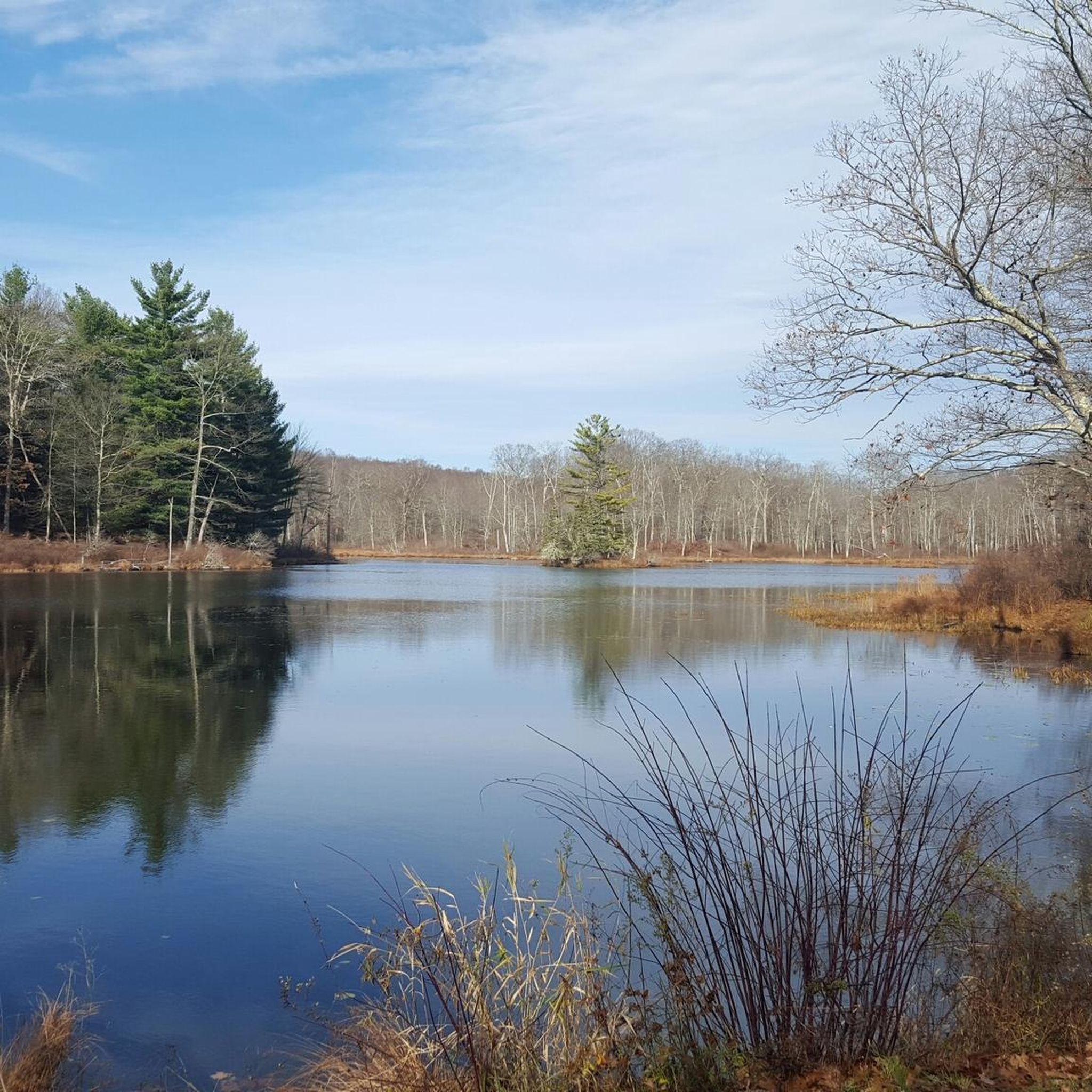
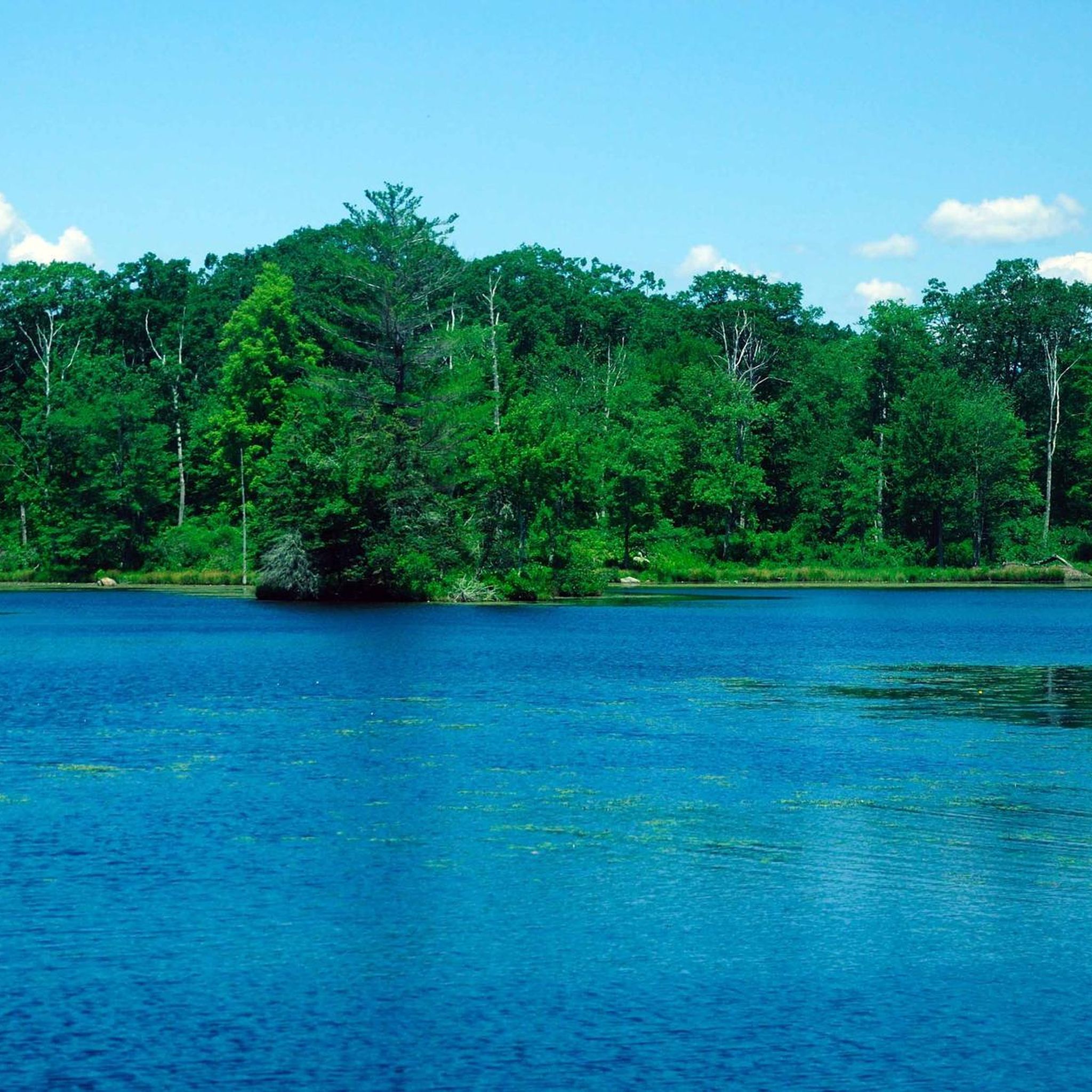
Gay City Pond is a large pond within Gay City State Park. You can fish and swim in the pond and there are picnic areas nearby. There is also an old woolen mill at the bottom of the pond, which gives a glimpse of the old industrial activities which used to take place in the park.
0
0
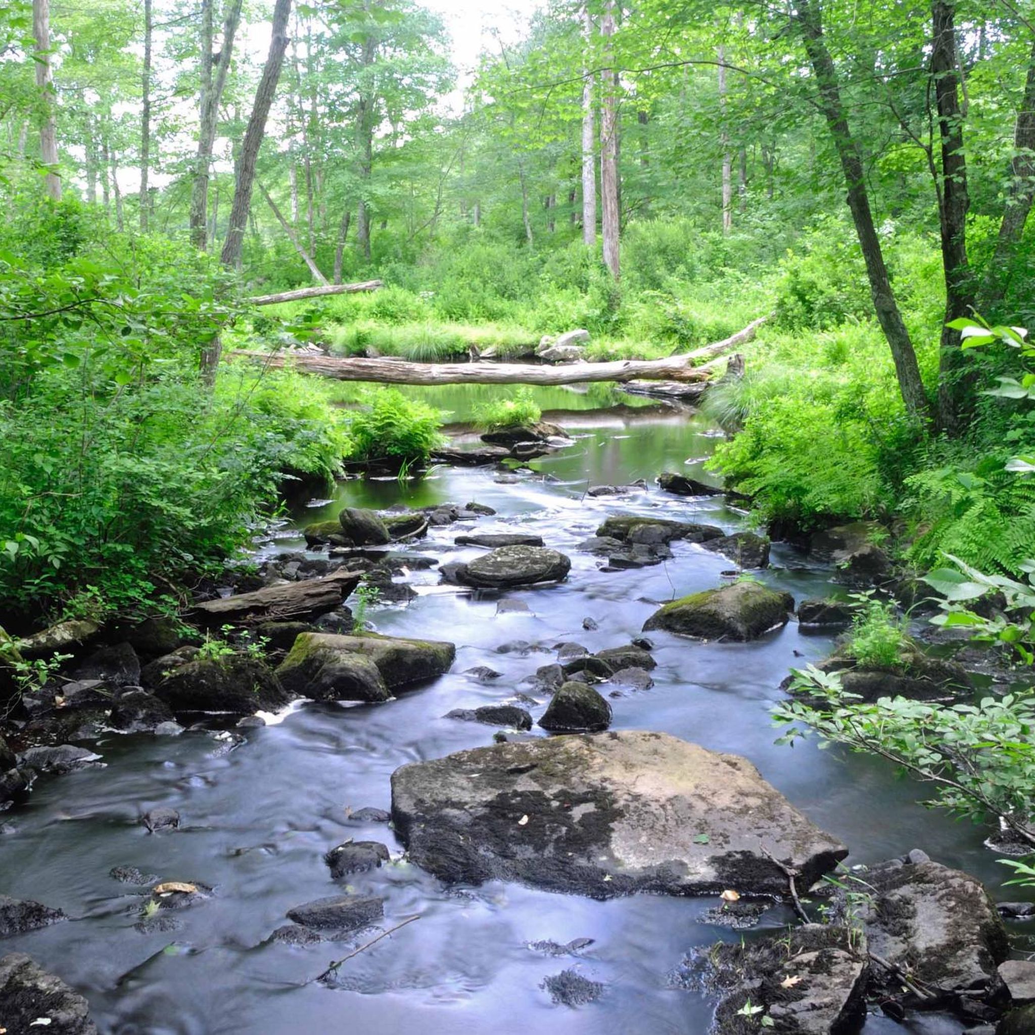
Gay City State Park is a 1500 acre state park. It has a wide range of activities for visitors to enjoy, including miles of trails, a beach, swimming and picnic areas. When out on the trail, you will find multiple wooden bridges, streams and an interesting stone formation.
1
0
Frequently Asked Questions
Are dogs allowed in Gay City State Park?
Yes, dogs are welcome in Gay City State Park but must be kept on a leash at all times. Please be sure to clean up after your pet to help keep the trails enjoyable for everyone.
Are there any easy, family-friendly hikes?
Absolutely. The park's terrain is characterized by gently rolling hills, making it very suitable for families. There are over 15 easy trails to choose from, many of which are short loops that are perfect for little legs. These paths often lead around the pond or through the historic areas.
Can I see a waterfall on a hike here?
While the park itself is known for its ponds and streams, you can reach a waterfall by taking a trail that connects to the adjacent Blackledge Falls Park. This allows you to experience the beauty of a waterfall cascading over 20 feet into a hollow as part of a longer hike.
What's the best way to see the historic ghost town ruins?
Many of the park's trails follow the old roads of the 19th-century mill town, Factory Hollow. To see the ruins, look for trails that pass through the heart of the park. You'll walk directly past old stone foundations, cellar holes, and the remnants of the mill, offering a fascinating glimpse into the area's past.
Are most of the trails circular loops?
Yes, the majority of the trails in Gay City State Park are designed as loops, making it easy to return to your starting point without backtracking. The park features nearly 10 miles of looping trails, including the main blue, red, and white-blazed routes.
What is the best time of year to hike in Gay City State Park?
Gay City State Park is a year-round destination. Spring brings lush greenery, while summer is perfect for combining a hike with a swim in the pond. Autumn offers spectacular fall foliage, and winter transforms the trails into a great setting for snowshoeing and cross-country skiing.
How do I get to Gay City State Park and where can I park?
The park is located at 435 North St, Hebron, CT. Driving is the most common way to get there. There is a main parking area, but be aware that the main gate may be closed in winter, requiring you to use a smaller lot near the entrance.
Are there any longer or more challenging hikes available?
Yes, for those seeking a longer trek, the park's blue-blazed Gay City Trail connects to the extensive Shenipsit Trail. You can also find moderately difficult routes like the Birch Mountain – Lookout Mountain loop, which extends into the surrounding area for a more challenging day out.
What kind of wildlife might I see?
The park's diverse landscape of forests, ponds, and marshlands supports a variety of wildlife. Keep an eye out for white-tailed deer, wild turkeys, and various bird species. The pond is stocked with trout and is also home to bass and catfish.
What do other hikers say about the trails in Gay City State Park?
The area is highly rated by the komoot community. Reviewers often praise the well-marked trail system, the unique historical ruins scattered throughout the forest, and the peaceful atmosphere of the pond-side paths.
Is there an entrance fee for the park?
Gay City State Park may charge a parking or entrance fee, particularly during the peak season from Memorial Day to Labor Day. It's recommended to check the official Connecticut State Parks website for the most current fee information before your visit.
Most popular routes in Gay City State Park

Get inspired with the komoot mobile app


Explore more
Browse the best Hikes in other regions.
