The best running trails in Douglas State Park
27
runners
9
runs
Jogging in Douglas State Park offers access to expansive woodlands and a diverse trail system across approximately 6,000 acres. The park, bordering Connecticut and Rhode Island, features a variety of terrains suitable for running. Trails range from easy, accessible paths to more challenging routes with rocky sections and elevation gains. Wallum Lake is a central natural feature, and the park also contains a rare Atlantic White Cedar Swamp.
Best jogging routes in Douglas State Park
- The most popular jogging route…
Last updated: October 5, 2026
3.58km
00:24
30m
30m
Easy run. Great for any fitness level. Mostly paved surfaces. Suitable for all skill levels.
4
runners
13.4km
01:36
120m
120m
Moderate run. Good fitness required. Mostly paved surfaces. Suitable for all skill levels.

2
runners
13.5km
01:40
140m
140m
Moderate run. Good fitness required. Mostly paved surfaces. Suitable for all skill levels.
2
runners
11.3km
01:23
90m
90m
Moderate run. Good fitness required. Mostly paved surfaces. Suitable for all skill levels.
1
runners
11.1km
01:21
100m
100m
The Buck Hill Running Trail – Buck Hill Management Area offers a truly engaging jogging experience, winding through rich forest lands of oak, hickory, and white pine. You'll navigate a…
Get access to more routes and recommendations from other explorers.
Already have an account?
Our route recommendations are based on thousands of hikes, rides, and runs completed by other people on komoot.
Start today with a free account
Your next adventure awaits.
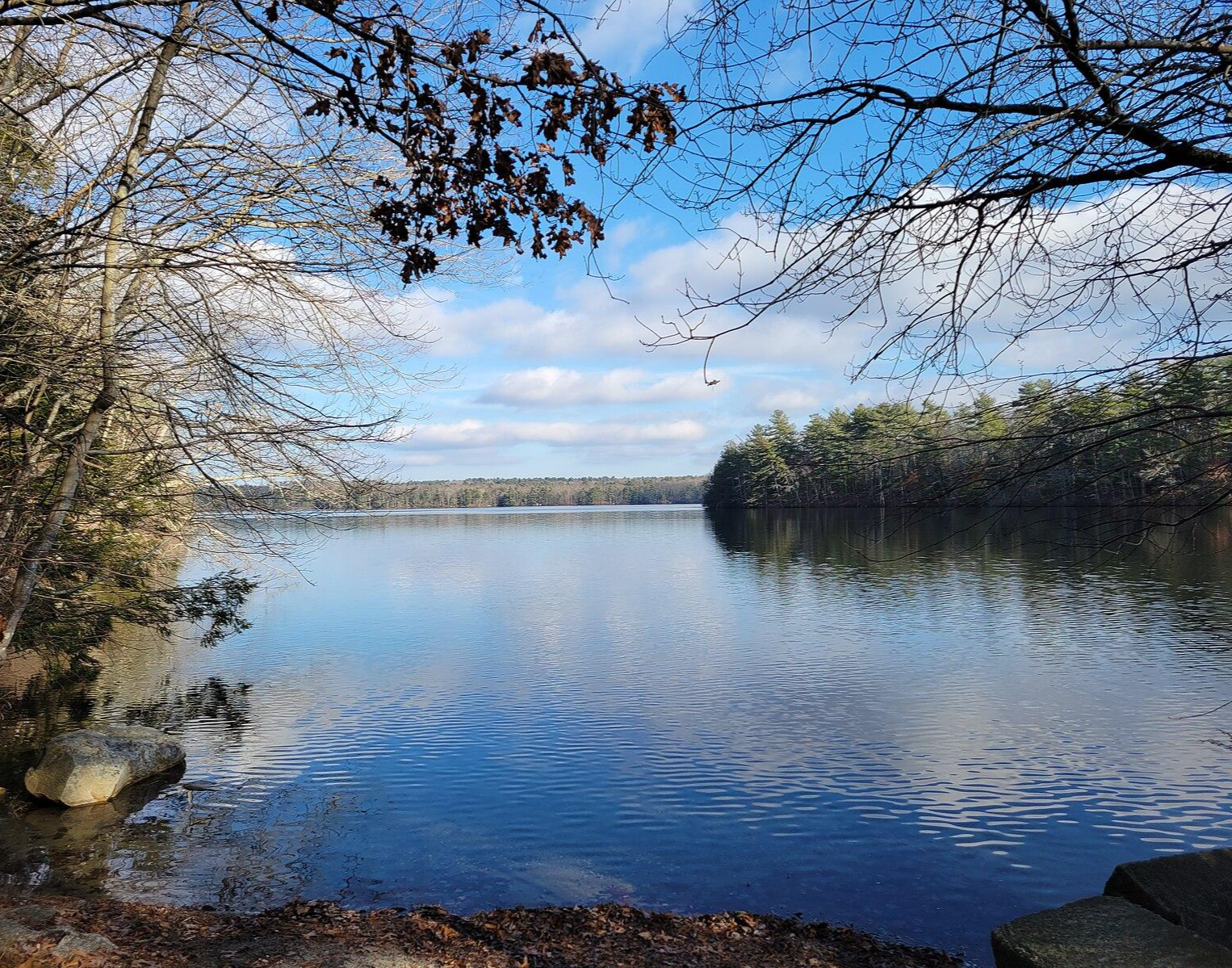
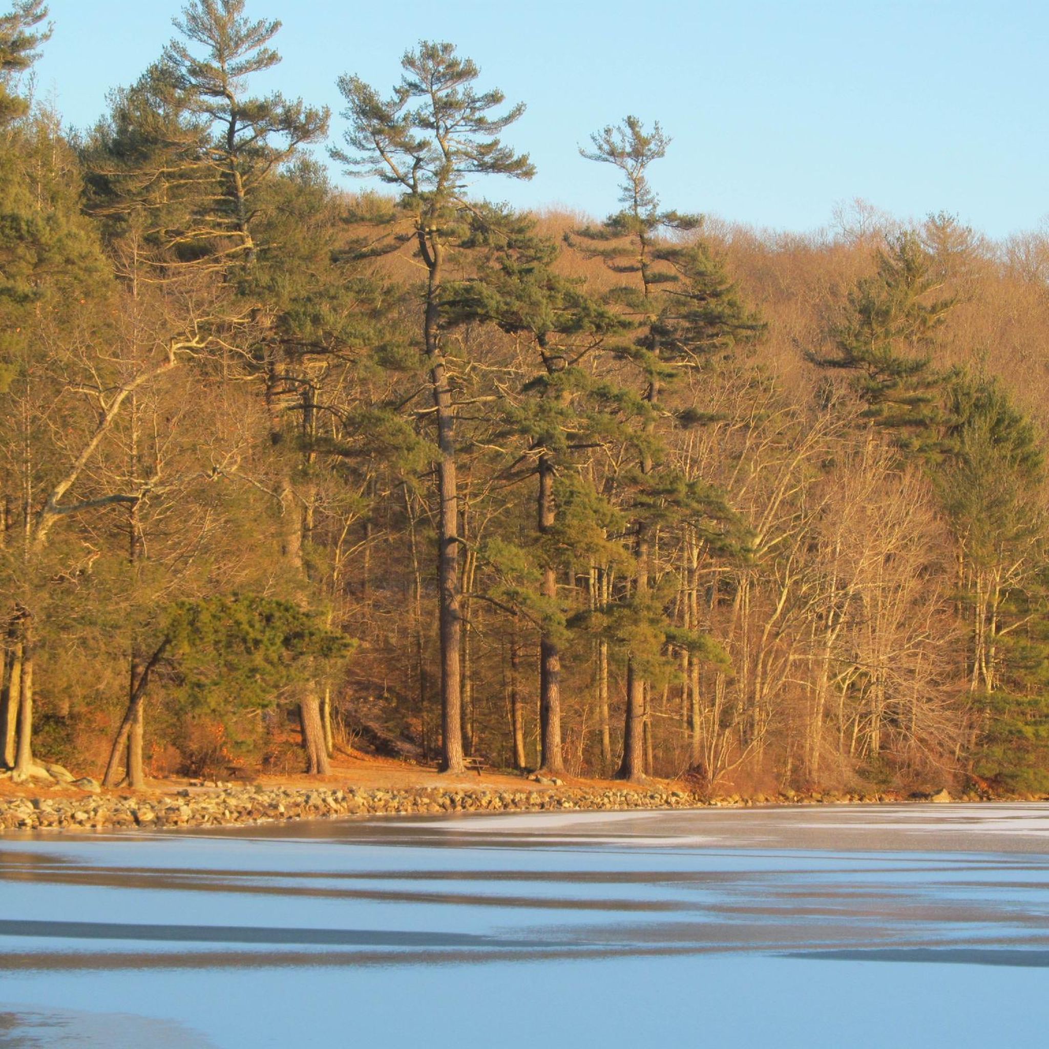
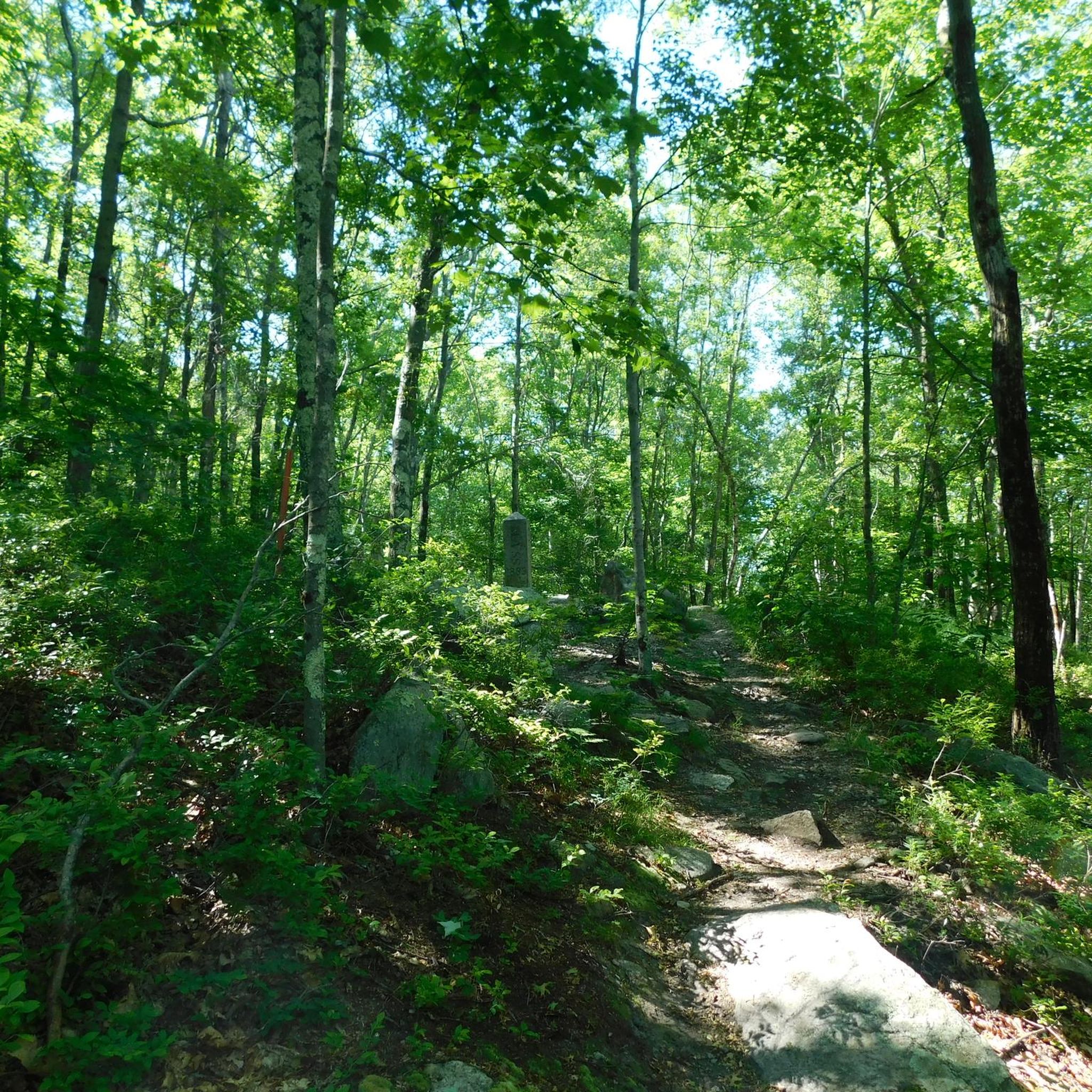
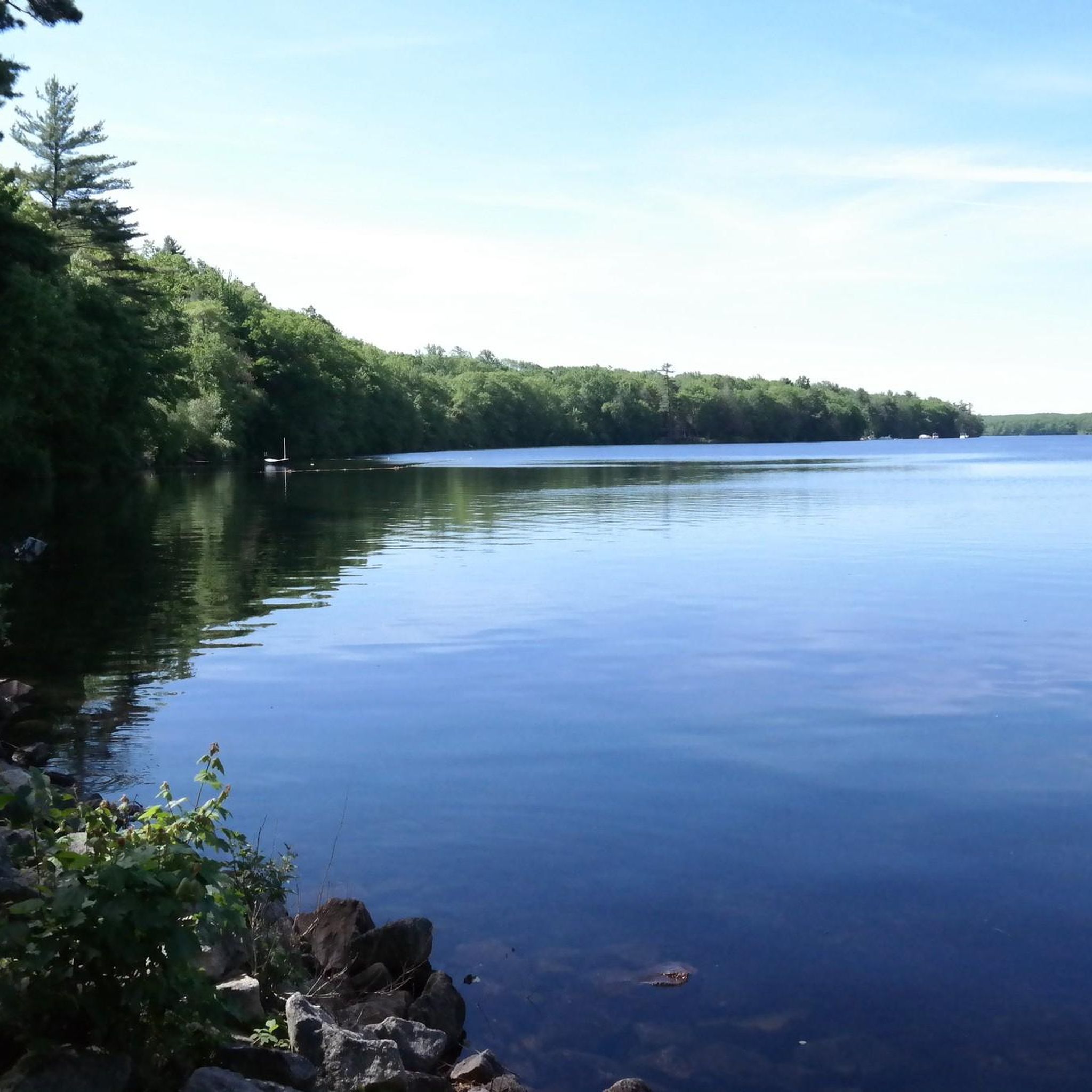
Other adventures in Douglas State Park

Tips from the Community

Depending on the route you take last part of the trail can be considered a moderate hike.
1
0

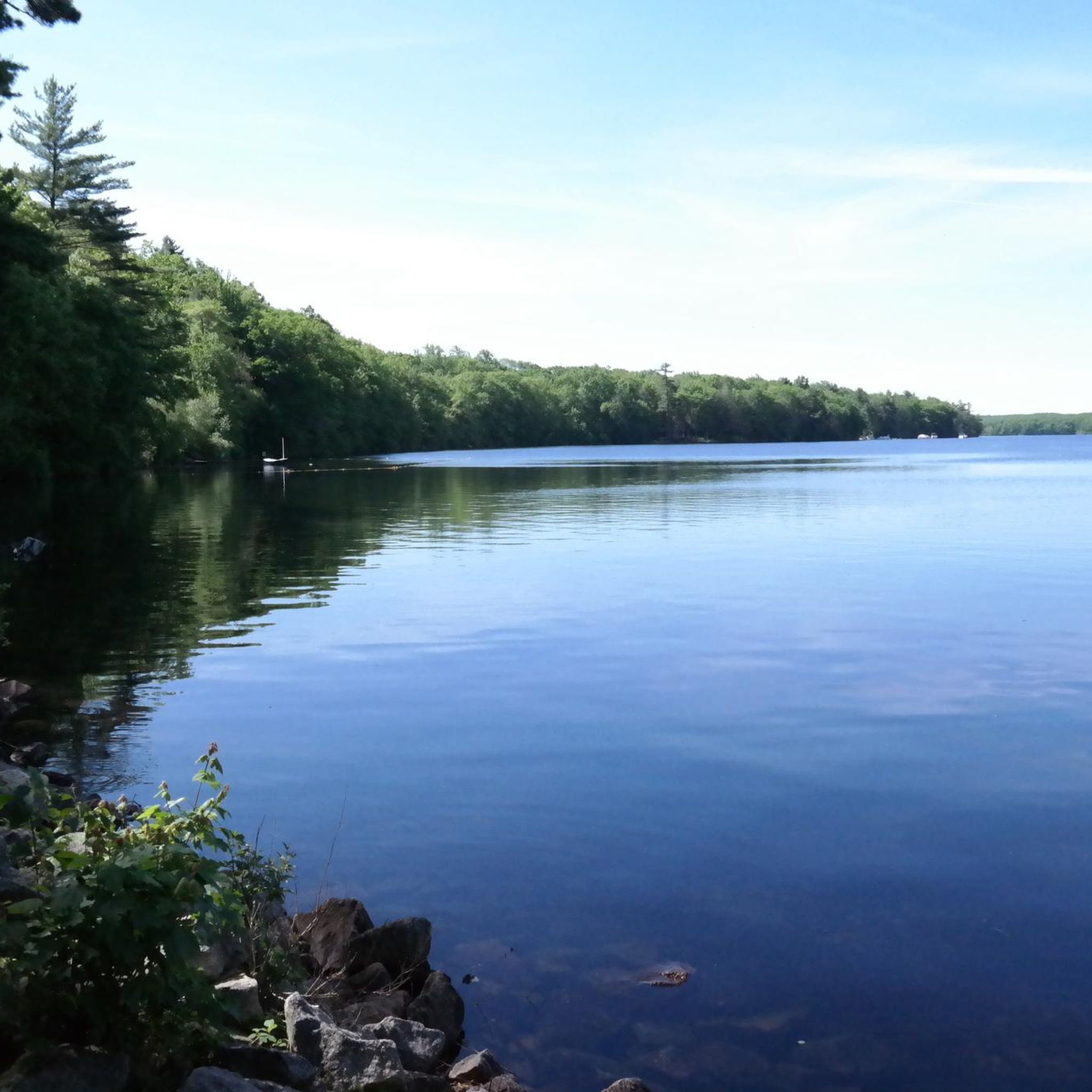
This shaded area features plenty of picnic tables and views of Wallum Lake. There is an accessible beach nearby and toilets available. It's a good spot to stop by when finishing or starting your hike at Douglas State Forest.
1
0

The northern section of the Air Line Trail is particularly captivating, featuring an old bridge and the intriguing "Hermit Cave," and culminating at the tri-point marker where Connecticut, Massachusetts, and Rhode Island meet. This boundary is identified by a 4-foot granite monument (with an additional 5 feet underground) situated in a small hilltop clearing. The marker, 14 inches square with a 6-inch pyramidal top, is inscribed with "MASS 1883" on the north side, "R.I. 1883" on the south, and "CONN" on the west—Connecticut's side lacks a date due to disagreements over the boundary. This monument was installed by a commission from Massachusetts and Rhode Island in late 1883.
0
0

Douglas State Forest is a 5,907-acre forest that is open from sunrise to sunset. The park contains Wallum Lake and miles of woodland trails.
0
0

The 322-acre lake provides a pleasant beach area and numerous picnic spots, making it an ideal location for a relaxing break. Additionally, it is a popular fishing spot, home to various fish species such as largemouth bass, yellow perch, and bluegills.
1
0

This granite monument marks the border of Connecticut, Massachusetts and Rhode Island. It was set over 130 years ago. The mountain bike trails in the area are great too.
1
0

No matter which path you take to the marker, its a pretty rough uphill climb. Most likely you will need to carry your bike or leave your bike at the bottom of the climb.
0
0
This granite monument marks the border of Connecticut, Massachusetts and Rhode Island. It was set over 130 years ago. The mountain bike trails in the area great too.
1
0
Frequently Asked Questions
How many running routes are available in Douglas State Park?
Douglas State Park offers a selection of 6 dedicated running routes, catering to various skill levels. These include 1 easy route, 3 moderate routes, and 2 difficult routes, ensuring options for both casual joggers and experienced runners.
Are there any easy jogging routes suitable for beginners or casual runs?
Yes, for those seeking an easier run, the Coffee House Loop – Douglas State Forest is an excellent choice. This 2.2-mile (3.6 km) route features accessible surfaces, making it ideal for a relaxed jog or a warm-up.
What are some of the natural features or points of interest I might encounter on the trails?
Douglas State Park is rich in natural beauty. Many routes will take you past Wallum Lake, known for its clear waters. You can also explore a rare Atlantic White Cedar Swamp via a boardwalk trail, providing a unique ecological experience. Other interesting features include the Tri-State Marker, where Massachusetts, Connecticut, and Rhode Island meet, and an extensive beaver dam.
Are there any long-distance or challenging running routes in the park?
Absolutely. For a more challenging experience, consider the Picnic Area at Wallum Lake – Passing Douglas Cedar Swamp loop from Mount Daniels. This difficult 18.3-mile (29.4 km) route features significant elevation changes and passes by Wallum Lake and through the unique Atlantic White Cedar Swamp.
Can I find circular running routes in Douglas State Park?
Yes, several routes in Douglas State Park are circular, allowing you to start and end at the same point. For example, the Douglass State Forest loop from Wallis Pond is an 8.3-mile (13.4 km) circular trail that takes you through expansive woodlands.
Is Douglas State Park suitable for family-friendly running or walks?
The park offers a diverse trail system, with some paths being easy and accessible, making them suitable for families. The 2.2-mile Coffee House Loop – Douglas State Forest, with its accessible surfaces, is a good option for families looking for a gentle run or walk together.
Are dogs allowed on the jogging trails in Douglas State Park?
Douglas State Park is generally dog-friendly, allowing leashed dogs on most trails. It's always a good idea to check specific trail regulations or park signage upon arrival, but many runners enjoy bringing their canine companions along for a run through the expansive woodlands.
What kind of terrain can I expect on the running trails?
The terrain in Douglas State Park is varied. You'll find easy, paved surfaces on some sections, while other routes can be rocky and steep, requiring sure-footedness. The park's extensive woodlands offer a mix of natural paths, and multi-use trails like the Southern New England Trunkline Trail (SNETT) provide uninterrupted paths.
Are there any routes that offer scenic viewpoints?
While specific designated viewpoints are not highlighted for every route, the park's diverse ecosystems and expansive woodlands provide many scenic stretches. Trails passing by Wallum Lake offer beautiful water views, and the journey to the Tri-State Marker can involve rugged climbs with rewarding natural vistas.
Where can I park when visiting Douglas State Park for a run?
Douglas State Park provides parking facilities for visitors. Specific parking areas are usually located near popular trailheads and access points, such as those leading to Wallum Lake or the main forest entrances. It's advisable to check the park's official website or local maps for the most convenient parking for your chosen route.
What is the best time of year to go running in Douglas State Park?
Douglas State Park offers a great running experience throughout much of the year. Spring and fall provide pleasant temperatures and beautiful foliage. Summer is also popular, especially around Wallum Lake, though it can be warmer. Winter running is possible, but some trails may be icy or covered in snow, so appropriate gear and caution are advised.
Are there any other moderate-difficulty running routes besides the ones mentioned?
Yes, beyond the longer difficult routes, you can explore other moderate options like the Running loop from Douglas State Forest, which covers 8.3 miles (13.3 km) with moderate elevation changes, or the Buck Hill Running Trail – Buck Hill Management Area, an 6.9-mile (11.1 km) route.
Most popular routes in Douglas State Park

Get inspired with the komoot mobile app


Explore more
Browse the best Running Trails & Routes in other regions.
