The best road cycling routes in Demarest Lloyd State Park
4.7
(3)
113
riders
9
rides
Road cycling in Demarest Lloyd State Park offers access to scenic coastal routes within the South Coast area of Massachusetts. The region is characterized by saltwater beaches along Buzzards Bay, extensive salt marshes lining the Slocums River, and picturesque coastal farmlands. While the park itself is primarily for walking, the surrounding area provides a network of paved roads suitable for road cycling. These routes often traverse diverse ecosystems, including oak forests and coastal dunes, providing varied terrain for cyclists.
Best…
Last updated: May 17, 2026
5.0
(1)
17
riders
105km
04:37
570m
570m
Cycle the Dartmouth Coastal loop, a moderate 65.3-mile route with 1887 feet of elevation gain, offering ocean views and historic farms.
5.0
(1)
51
riders
23.5km
01:19
90m
90m
Easy road ride. Great for any fitness level. Mostly well-paved surfaces and easy to ride.

Sign up for free
4.0
(1)
23
riders
Moderate road ride. Good fitness required. Mostly well-paved surfaces and easy to ride.
11
riders
39.9km
01:42
190m
190m
Easy road ride. Great for any fitness level. Mostly well-paved surfaces and easy to ride.
4
riders
22.3km
01:00
120m
120m
Easy road ride. Great for any fitness level. Mostly well-paved surfaces and easy to ride.
Get access to more routes and recommendations from other explorers.
Sign up for free
Already have an account?
Our route recommendations are based on thousands of hikes, rides, and runs completed by other people on komoot.
Start today with a free account
Your next adventure awaits.
Login or Signup
Popular around Demarest Lloyd State Park
Tips from the Community

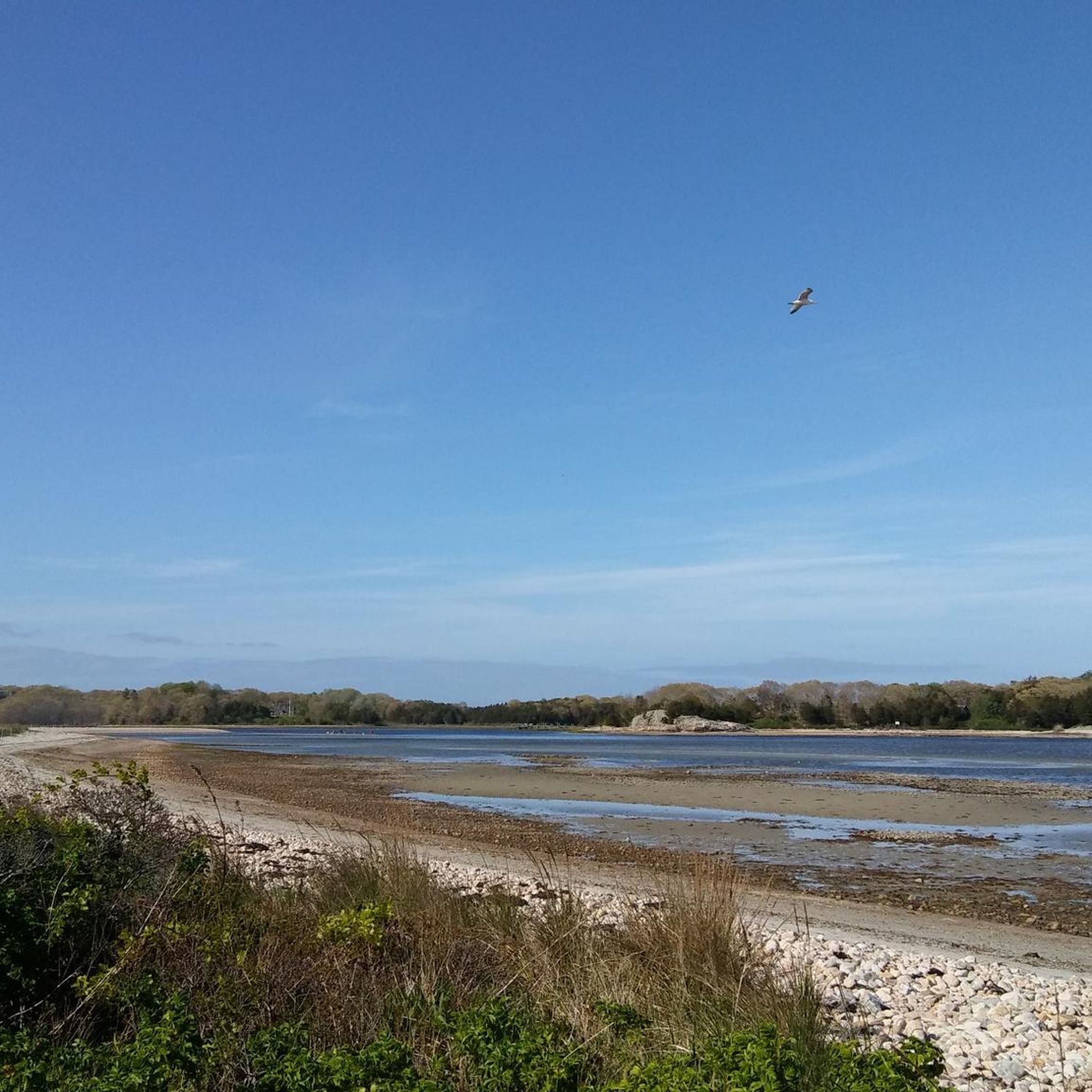
This is a very nice local Dartmouth beach that looks out over the harbor. Next to the beach is a park with parking, picnic areas, and sports areas as well. This is a great place to star or end a ride while enjoying the views.
0
0

This section of road is one of the most pleasant in the state of Massachusetts. It offers beautiful views of both the countryside and the ocean.
0
0

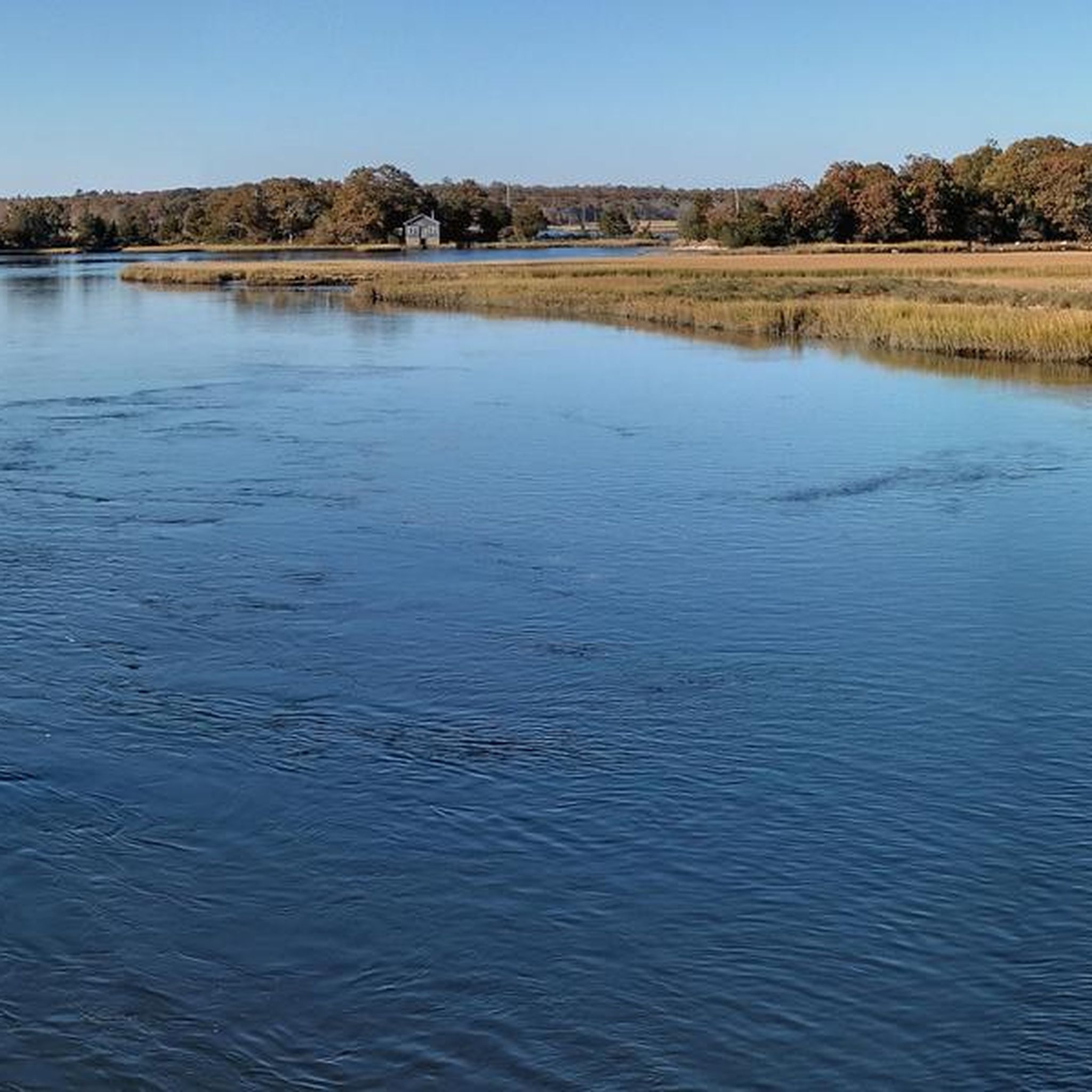
The views of this marsh land are extensive from the road. If you keep your eye out, you are likely to see some of the interesting bird species that inhabit the marshes.
1
0
The view of East Branch Westport River is lovely from here with wide views of the river. You can also take a break on the beach on the southern side of the road before the bridge.
0
0

Gooseberry Neck Road, leading to Gooseberry Island and the beach, is accessible to the public, but walk-on access is restricted. To enter, individuals must arrive by bike, scooter, or acquire a daily pass for parking and arrival by car. The paved portion extends to the roundabout, beyond which the road turns to gravel and dirt paths around the island.
0
0
East Horseneck Beach has some beach views, but the road is lined with trailers and mobile homes so you can catch the view in between the mobiles units while passing riding by. This area is different from the nearby Horseneck Beach State Reservation Campground.
0
0

The portion of path between Bridge Rd. and the main beach parking lot can be covered in sand in places - OK if you ride gravel/MTB, but might want to dismount if on skinny tires. Public restrooms near the beach parking lot, and a potable water spigot a little south of the main beach where all the RVs are parked.
0
0

A beautiful view, snacks and sand under your feet.
0
0
Frequently Asked Questions
How many road cycling routes are available in Demarest Lloyd State Park?
There are 6 road cycling routes available in the Demarest Lloyd State Park area, catering to various skill levels. These routes are highly rated by the komoot community, with an average score of 5.0 stars.
What kind of terrain can I expect on road cycling routes near Demarest Lloyd State Park?
The road cycling routes in the area primarily feature paved surfaces, winding through diverse ecosystems. You can expect scenic coastal roads, stretches alongside salt marshes, and paths through coastal farmlands. Some routes may also traverse areas with oak forests and coastal dunes, offering varied scenery.
Are there any easy road cycling routes suitable for beginners or families?
Yes, there are several easy routes perfect for beginners or family outings. For example, the Hix Bridge Road – East Horseneck Beach loop from Bar Rock is an easy 14.6-mile path featuring scenic coastal roads and marshlands. Another easy option is the Hix Bridge Road loop from Lower Spectacle Island, which covers about 12 miles.
Can I find loop trails for road cycling in the Demarest Lloyd State Park area?
Yes, many of the road cycling routes in the region are designed as loops, allowing you to start and end at the same point. Popular loop options include the extensive Dartmouth Coastal loop, the Hix Bridge Road – East Horseneck Beach loop from Bar Rock, and the Apponagansett Beach – Harkings Land loop from Knowles Beach.
What natural features or viewpoints can I see along the road cycling routes?
The routes offer stunning views of Buzzards Bay, especially along coastal sections. You'll also cycle past broad, scenic salt marshes lining the Slocums River, which are delicate coastal habitats. On clear days, you might even catch a glimpse of the Elizabeth Islands across the bay. The area is also known for its diverse ecosystems, including coastal dunes and oak forests.
Is there parking available for road cyclists near the routes?
While Demarest Lloyd State Park itself has parking, many regional road cycling routes start from various points in the surrounding South Coast area. It's advisable to check the specific route details on komoot for recommended starting points and parking availability, as options can vary depending on the route's location.
What is the best time of year to go road cycling in the Demarest Lloyd State Park region?
The summer months are particularly pleasant for road cycling, with calm, shallow, and warm waters along the saltwater beaches. However, the region offers scenic cycling opportunities throughout the warmer seasons. Spring and fall can also provide comfortable temperatures and beautiful coastal scenery, especially during migration seasons for birdwatching.
Are there any cafes or restaurants near the road cycling routes?
The Demarest Lloyd State Park area is situated within the South Coast region of Massachusetts, which includes charming towns. While the park itself is primarily a natural recreation area, you can find cafes, pubs, and restaurants in nearby communities like Dartmouth and New Bedford, often accessible from the regional cycling networks.
Can I access the road cycling routes using public transport?
Public transportation options to the Demarest Lloyd State Park area are available. The Southeastern Regional Transit Authority (SRTA) operates bus routes in the Dartmouth area, which may provide access to points near the park or regional cycling networks. It's recommended to check SRTA schedules and routes for the most current information on reaching specific starting points.
What do other road cyclists enjoy most about cycling in the Demarest Lloyd State Park area?
The area is highly rated by the komoot community, with an average score of 5.0 stars. Reviewers often praise the extensive coastal views, the diverse ecosystems encountered along the routes, and the variety of options from easy paths to more moderate distances. The scenic coastal roads and charming towns are frequently highlighted as key attractions.
Are there dedicated paved bike paths within Demarest Lloyd State Park itself for road cycling?
Demarest Lloyd State Park is primarily noted for its walking and hiking trails through woods and along salt marshes. While the park offers a serene setting, extensive internal paved roads specifically for dedicated road cycling are limited. The appeal for road cyclists largely stems from its location within a region rich in cycling opportunities and its connection to broader networks of scenic paved roads outside the park.

Get inspired with the komoot mobile app


Explore more
Browse the best Road cycling routes in other regions.
