The best running trails in Berowra Valley Regional Park
4.2
(13)
630
runners
63
runs
Jogging in Berowra Valley Regional Park offers expansive bushland scenery within the Berowra Creek catchment. The region is characterized by extensive bushland, including fern-filled gullies and open forests, alongside sandstone rock features and cliffs. Over 70 km of walking tracks and fire trails provide varied terrain for runners, ranging from hardened surfaces to more rugged sections. The park's landscape features a mix of valley floors along the creek and elevated sections offering views.
Best jogging routes in Berowra Valley Regional…
Last updated: November 3, 2026
14
runners
37.2km
04:53
930m
930m
Hard run. Very good fitness required. Sure-footedness, sturdy shoes and alpine experience required.
5.0
(1)
7
runners
24.7km
03:11
720m
720m
Hard run. Very good fitness required. Sure-footedness, sturdy shoes and alpine experience required.

5.0
(1)
8
runners
8.50km
01:03
190m
190m
Moderate run. Good fitness required. Mostly paved surfaces.
4
runners
6.53km
00:47
120m
120m
Moderate run. Good fitness required. Mostly paved surfaces.
2
runners
8.87km
01:01
140m
140m
Moderate run. Good fitness required. Mostly paved surfaces.
Get access to more routes and recommendations from other explorers.
Already have an account?
Our route recommendations are based on thousands of hikes, rides, and runs completed by other people on komoot.
Start today with a free account
Your next adventure awaits.
Popular around Berowra Valley Regional Park

Tips from the Community

Berowra is a popular town for hikers, cyclists, and other outdoor enthusiasts of the great Sydney area. There is a popular hiking track between Berowra and Cowan that makes up part of The Great North Walk. Though this is usually done as a point to point walk, the convenient public transit links between the two towns make it easy to get back to your starting point.
0
0

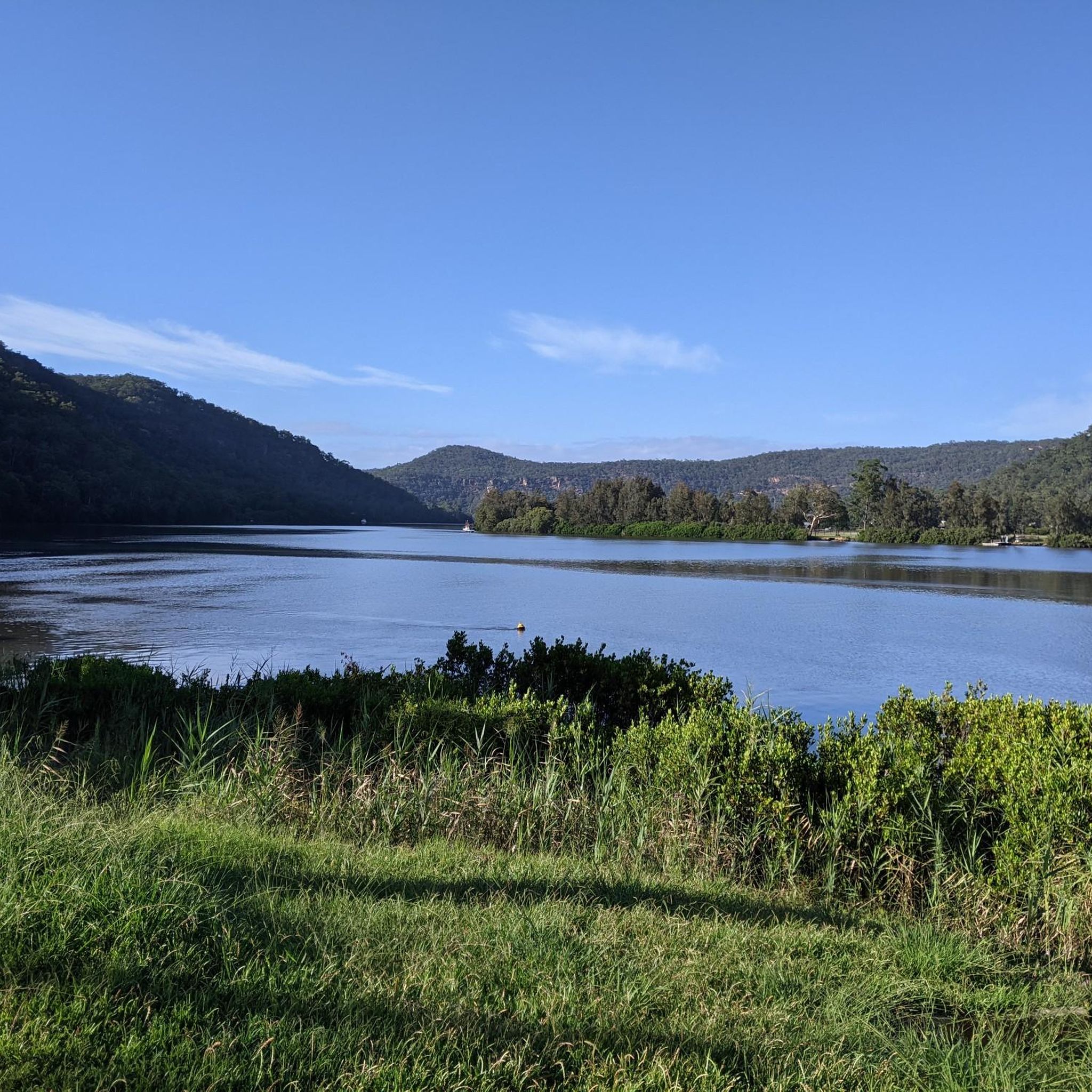
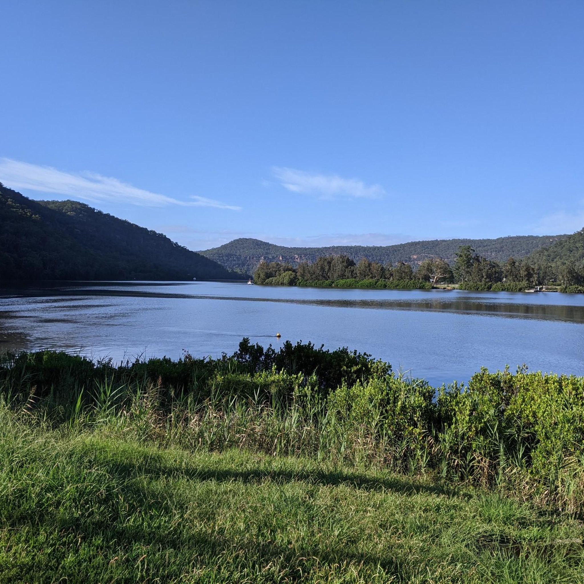
Berowra Creek Bridge has an informational sign about the old Twin Log Calna Creek Footbridge that once crossed Calna Creek here. On the east side of the river, there are boardwalks over marshes and the Calna Creek Campsite.
1
0

Devlins Creek Trail follows the creek corridor through shaded bushland, linking narrower single-track sections with rocky creek crossings and sandstone terrain. Compared to the wider fire trails higher in the park, this route feels more enclosed, with dense vegetation and a rougher surface underfoot. Tree roots, rocks, and smaller creek crossings slow the pace in sections, especially after rain when parts of the track can become muddy or slippery. The trail also forms part of the wider Great North Walk network through Lane Cove National Park.
0
0
Devlins Creek is a sandstone creek system flowing through the upper sections of Lane Cove National Park before joining Terrys Creek to form the Lane Cove River. Along the trail, the creek passes through shaded bushland with rocky banks, shallow crossings, and small waterholes tucked beneath the forest canopy. Water flow varies depending on rainfall, with calmer pools in drier periods and stronger movement after rain. The creek is named after James Devlin, a nineteenth century landowner connected to the area.
0
0
Pennant Hills Trail follows a management-style bush track through eucalypt forest on the upper edges of Lane Cove National Park. The trail is wider and more open than the narrower river tracks below, with long stretches of dirt and gravel surface underfoot. Sections connect into older fire trails and parts of the wider Great North Walk network, with steady climbs and descents through the bushland. Wildlife such as wallabies, water dragons, and birdlife are commonly seen along quieter sections of the trail.
0
0
Tunks Trail runs to the top of Tunks Ridge from the campground of the same name. It also forms part of the 27-kilometre Great North Trail that spans the distance between Sydney and Newcastle.
0
0
There's a small waterfall here that can turn to just a trickle when the water is low. However, it picks up after rain and is a nice place to rest and cool down while on the trail.
0
0
Elouera Lookout opens up to views across the surrounding bushland and valley below. The viewpoint sits just off the track, offering a break from the more enclosed forest sections. From here, you get a wider perspective over the landscape, with dense tree cover stretching across the valley. Just be aware that the lookout is more exposed compared to the mostly shaded track.
0
0
Frequently Asked Questions
How many running trails are available in Berowra Valley Regional Park?
Berowra Valley Regional Park offers a wide network of paths, with over 70 km of walking tracks and fire trails. Komoot lists nearly 90 running routes, providing a diverse range of options for all fitness levels.
Are there easy jogging routes suitable for beginners or families?
Yes, the park features trails with hardened or compacted surfaces that are gentler and suitable for easier runs. While the guide doesn't specifically list easy routes, the park has 5 easy routes available on komoot. The Duckys Waterhole loop from Pennant Hills is a moderate 7.8 km trail that is popular and offers diverse bushland scenery.
Can I bring my dog on the running trails in Berowra Valley Regional Park?
Yes, Berowra Valley Regional Park has dog-friendly fire trails. You can enjoy a run with your pet on trails such as Bellamy, Daphne, and Clarinda trails.
What kind of natural features or landmarks can I expect to see while running?
Runners can experience diverse natural beauty, including extensive bushland with fern-filled gullies and open forests, impressive sandstone rock formations and cliffs, and views of the winding Berowra Creek. Notable features include the picturesque Fishponds Waterhole and the scenic Waitara Creek Rock Pools, also known as 'The Washtub'.
Are there challenging or long-distance running options in the park?
Absolutely. The park offers challenging routes for experienced runners, including 25 difficult routes on komoot. For example, the Waitara Creek Rock Pools – Fishponds Waterhole loop from Westleigh is a difficult 24.7 km path with significant elevation changes, offering a substantial workout.
Are there circular running routes available in Berowra Valley Regional Park?
Yes, many of the running routes in the park are circular, allowing you to start and finish at the same point. Examples include the popular Duckys Waterhole loop from Pennant Hills and the more challenging Waitara Creek Rock Pools – Fishponds Waterhole loop from Thornleigh.
How can I get to Berowra Valley Regional Park using public transport?
While specific public transport routes to trailheads are not detailed here, the park is accessible from various surrounding suburbs. It's advisable to check local transport schedules for services to areas like Pennant Hills, Thornleigh, or Westleigh, which are common starting points for routes within the park.
Is parking available at the trailheads for runners?
Yes, parking is generally available at various access points and trailheads around Berowra Valley Regional Park. Common starting points for routes, such as those near Pennant Hills, Thornleigh, and Westleigh, typically have parking facilities. It's always a good idea to check specific trailhead information before your visit.
What do other runners say about the trails in Berowra Valley Regional Park?
The running routes in Berowra Valley Regional Park are highly rated by the komoot community, with an average score of 4.4 out of 5 stars from 9 reviews. Runners often praise the expansive bushland scenery, the variety of terrain, and the peaceful natural setting for their outdoor exercise.
What is the best time of year to go running in the park?
The park can be enjoyed year-round, but spring is particularly beautiful with wildflowers in bloom. Autumn offers pleasant temperatures and vibrant foliage. Summer can be hot, so early morning or late afternoon runs are recommended, while winter provides cooler, crisp conditions ideal for longer runs. Always check weather forecasts before heading out.
Are there any specific lookouts or viewpoints along the running routes?
Yes, the park features several lookouts that offer stunning views across the Berowra Valley. Barnetts Lookout and Elouera Lookout are known for their panoramic vistas, with distant sightings of the Blue Mountains possible on clear days. The Duckys Waterhole – Cityview Lookout loop from Pennant Hills is one route that includes potential lookout views.
What kind of wildlife might I encounter while running in Berowra Valley Regional Park?
Berowra Valley Regional Park is home to a diverse array of native fauna. You might spot various bird species, including lyrebirds and lorikeets, as well as lace monitors and brush turkeys. The extensive bushland provides a rich habitat for wildlife, offering opportunities for observation during your run.
Where can I find more information about Berowra Valley Regional Park?
For more detailed information about the park, including facilities, alerts, and regulations, you can visit the official NSW National Parks website: nationalparks.nsw.gov.au.
Most popular routes in Berowra Valley Regional Park

Get inspired with the komoot mobile app


Explore more
Browse the best Running Trails & Routes in other regions.
