The best road cycling routes in Lagan Valley Aonb
4.5
(121)
6,330
riders
38
rides
Road cycling in Lagan Valley AONB offers a network of routes primarily centered around the River Lagan, connecting Belfast and Lisburn. The region features the largely traffic-free Lagan Towpath, which provides a smooth surface for road bikes, alongside integrated segments of public roads. Cyclists traverse diverse landscapes including riverside scenery, meadows, woodlands, and various parks and demesnes. The terrain is generally accessible, with options for varied distances and elevation changes.
Best road cycling routes in Lagan Valley Aonb
- The most…
Last updated: October 5, 2026
36
riders
81.4km
03:33
520m
520m
Moderate road ride. Good fitness required. Mostly well-paved surfaces and easy to ride.
15
riders
52.8km
02:18
430m
430m
Moderate road ride. Good fitness required. Mostly well-paved surfaces and easy to ride.

13
riders
57.9km
02:30
420m
420m
Moderate road ride. Good fitness required. Mostly well-paved surfaces and easy to ride.
16
riders
86.3km
03:46
470m
470m
Moderate road ride. Good fitness required. Mostly well-paved surfaces and easy to ride.
11
riders
58.9km
02:33
480m
480m
Moderate road ride. Good fitness required. Mostly well-paved surfaces and easy to ride.
Get access to more routes and recommendations from other explorers.
Already have an account?
Our route recommendations are based on thousands of hikes, rides, and runs completed by other people on komoot.
Start today with a free account
Your next adventure awaits.
Popular around Lagan Valley Aonb
Tips from the Community

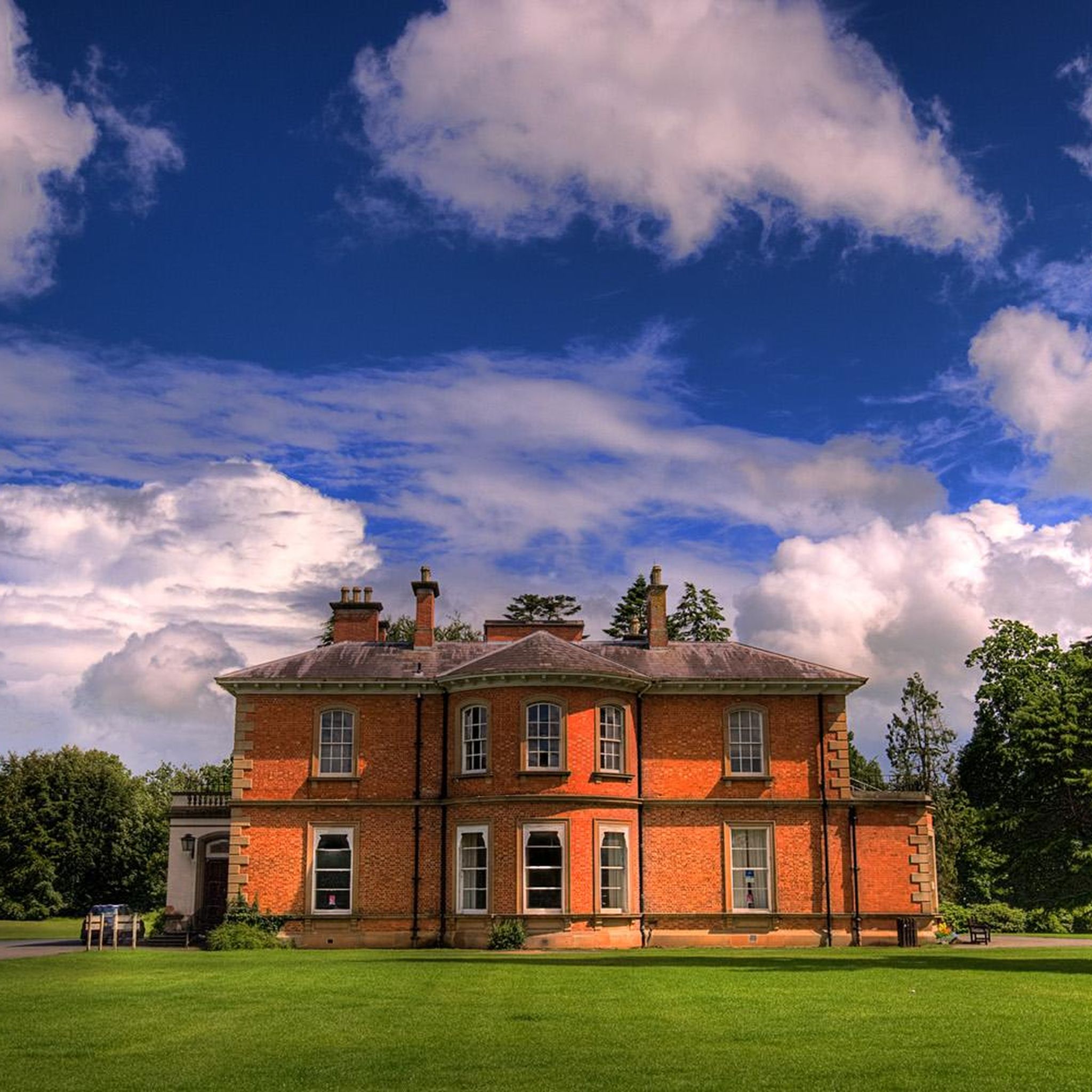
Royal residence in Northern Ireland. Visit with royal insights into the history of this castle! „Hillsborough Castle and Gardens” with adjacent gardens. Beautiful perennial beds, rose garden and old trees!
1
0

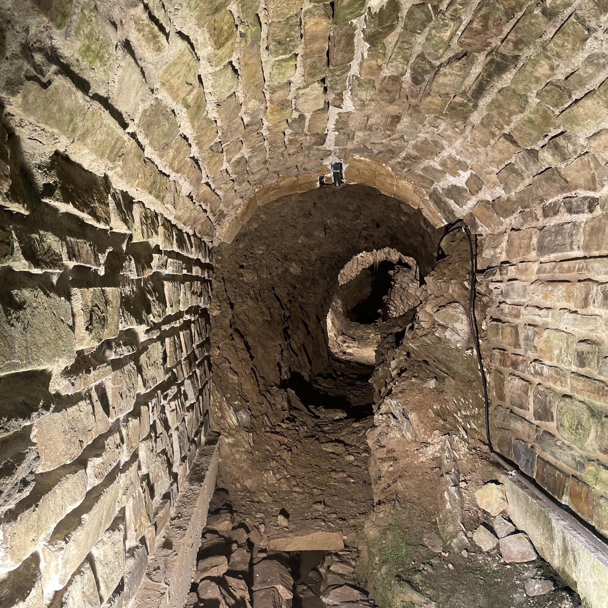
The entrance to Lisnamintry Rath (located on Ballygargan Road, near Portadown) is the gateway to one of the few officially protected archaeological monuments in this part of County Armagh. A rath is an early medieval fortified farmstead (c. 500–1000 AD) that formerly offered protection to families and their livestock against raiders. Not visible from the road.
1
0

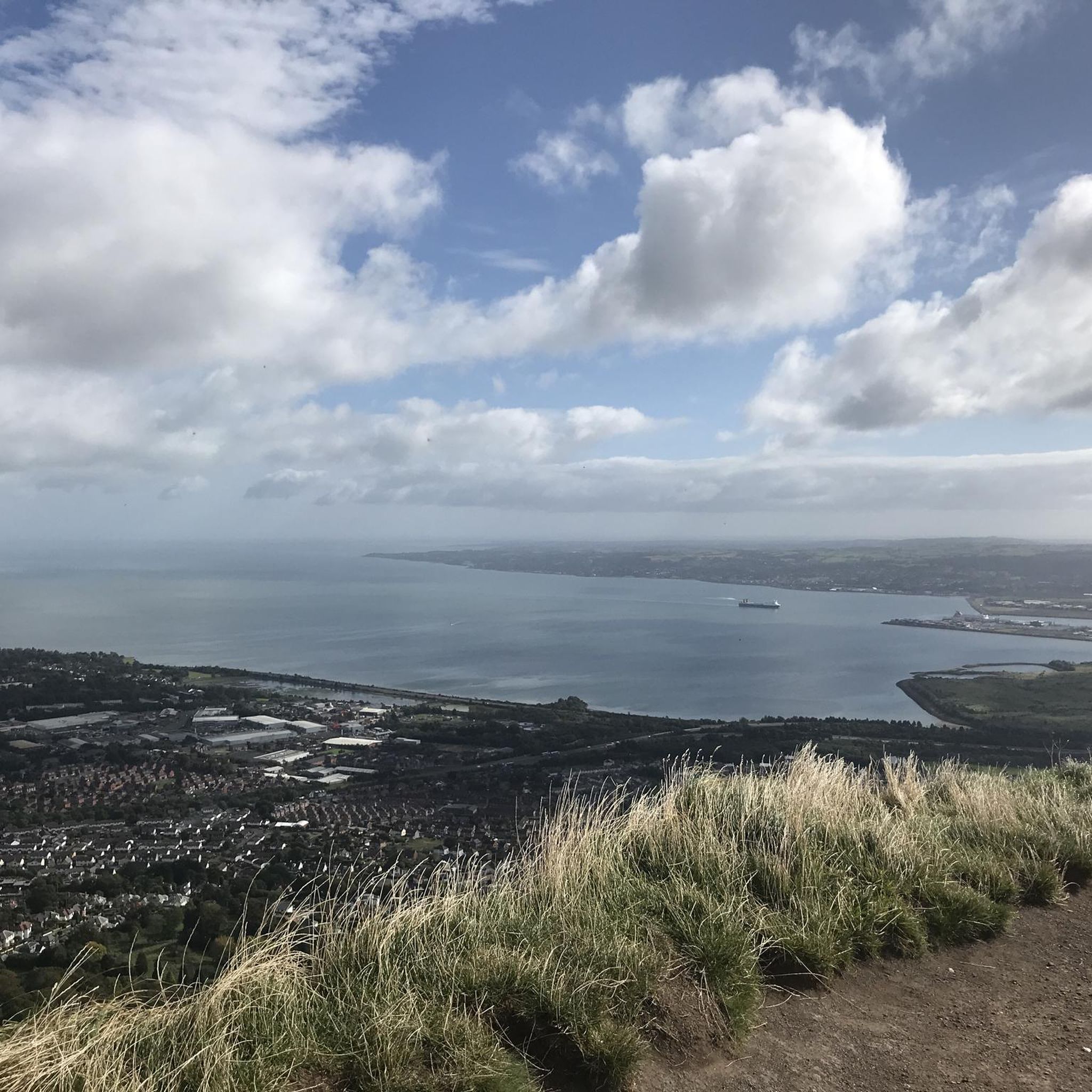
If you want to get to Belfast city center without a car and stress, this is the right place.
1
0

The path, which is part of National Cycle Route 9, offers a peaceful atmosphere that is ideal for relaxed bike rides - but walkers, joggers and dog owners also appreciate the route. The contrast between the quiet river and the partially flooded sections that can appear after heavy rain is particularly exciting. Sometimes the path leads directly to the water, and it almost seems as if the Lagan wants to reclaim a bit more space. The trees are reflected in the calm waters, which creates an almost mystical atmosphere in cloudy weather. Another highlight are the small, branching mountain bike trails that bring a bit of adventure to the tour. If you want a change and don't just want to follow the river, these trails offer a welcome change.
1
0
The truncated round tower rises from afar, its massive structure still preserved up to 10.7 metres. Originally, the tower served not only as a spiritual place, but also offered a strategic view over the valley - a real advantage for spotting any Viking raids early on. The history of the nearby monastery, which is associated with St. Mochumma, is also interesting. It is said that the site was looted in 1130 and that the remains of a church were discovered near the tower as late as the 18th century. The beam holes inside suggest that the six floors were made of wood and offered a certain level of comfort.
1
0

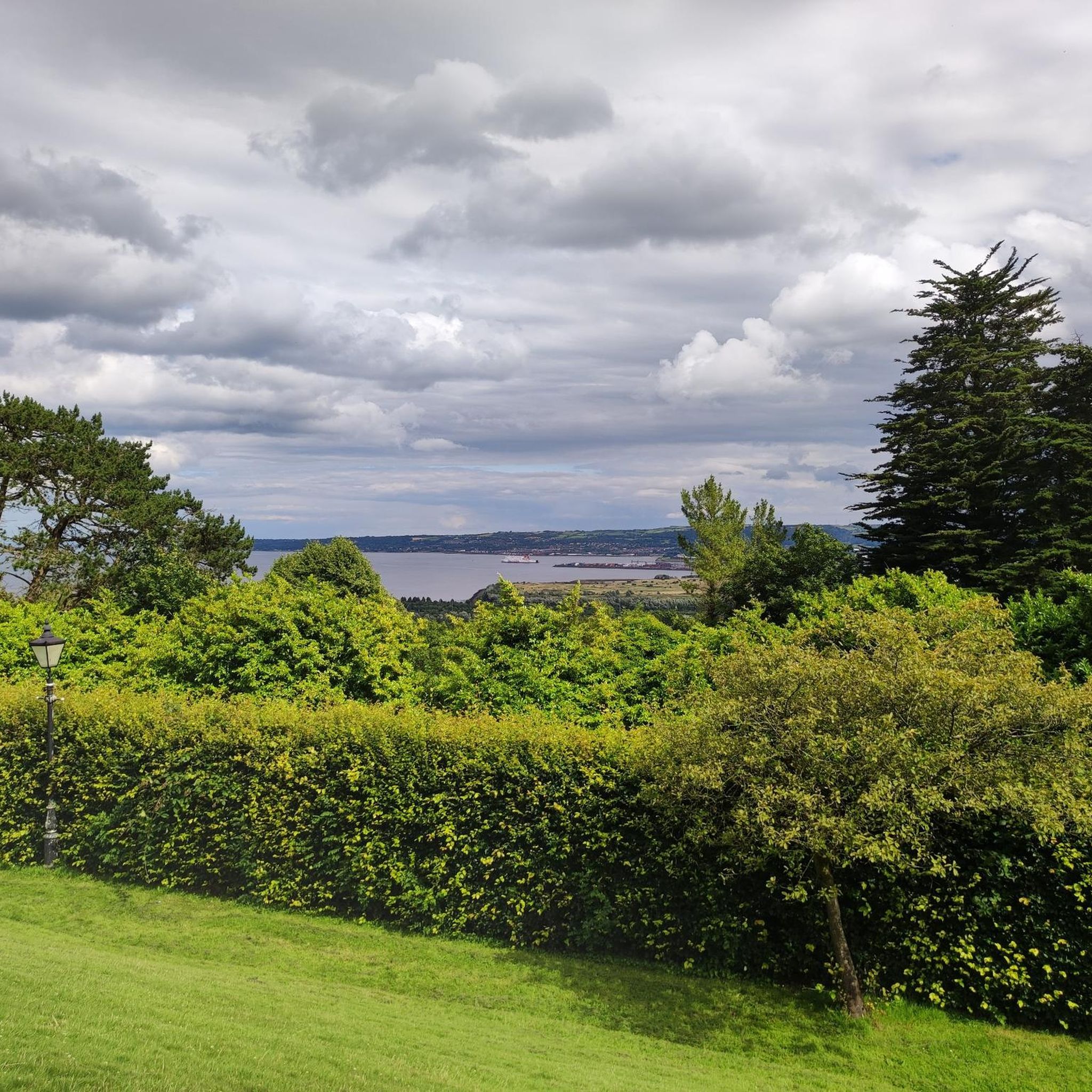
The Castle has over 100 acres of ornamental lawns, peaceful woodlands and picturesque glens to discover. Dogs are not permitted within the gardens and café unless they are trained assistance dogs.
0
0
From the late Iron Age to early Christian times, the island's occupants built circular structures with earth banks or ditches. These were sometimes topped with wooden palisades and wooden framed buildings. As the dwellings were not durable, sometimes referred to as as Fairy Forts ( also known as Lios or Raths from the Irish, referring to an earthen mound ) are the remains of stone circles, ringforts, hillforts, or other circular prehistoric dwellings in Ireland.
2
0

Heading towards Dromara is difficult from the very start. Easier start if heading towards Belfast and Ballynahinch.
0
0
Frequently Asked Questions
How many road cycling routes are available in Lagan Valley AONB?
There are nearly 50 road cycling routes available in Lagan Valley AONB on komoot, catering to various skill levels. These include 4 easy routes, 41 moderate routes, and 4 difficult routes.
Are there road cycling routes suitable for beginners or families in Lagan Valley AONB?
Yes, the Lagan Towpath is largely traffic-free and offers a smooth surface, making it ideal for beginners and families. There are 4 easy road cycling routes listed on komoot for the area, providing a gentle introduction to the region's scenic beauty.
What kind of terrain can I expect on road cycling routes in Lagan Valley AONB?
Road cycling in Lagan Valley AONB offers a mix of terrain. The core is the largely traffic-free Lagan Towpath, which is paved and smooth. Beyond this, routes integrate segments of public roads, featuring varied elevation changes. You'll traverse riverside scenery, meadows, woodlands, and various parks and demesnes.
What are some notable landmarks or natural features to see along the road cycling routes?
The routes offer diverse scenery and points of interest. You can pass by the historic Shaw's Bridge, enjoy the tranquil Lagan Meadows Nature Reserve, or visit the beautiful Sir Thomas and Lady Dixon Park Rose Garden and Stone Monoliths. The Lagan Towpath itself is a continuous scenic feature, following the river.
Are there any challenging road cycling routes in Lagan Valley AONB?
Yes, while many routes are moderate, there are 4 difficult road cycling routes available for those seeking more of a challenge. These routes often incorporate more significant elevation changes and longer distances on public road segments.
Can I find circular road cycling routes in the area?
Many of the road cycling routes in Lagan Valley AONB are designed as loops, allowing you to start and finish at the same point. For example, the Lough Neagh Shoreline – Wallace Park loop from Derriaghy is a popular moderate circular option.
What is the best time of year for road cycling in Lagan Valley AONB?
The Lagan Valley AONB is enjoyable for road cycling throughout much of the year. Spring and autumn offer pleasant temperatures and beautiful scenery with changing foliage. Summer provides longer daylight hours, while milder winter days can still be suitable, especially on the well-maintained Lagan Towpath.
Where can I park when visiting Lagan Valley AONB for road cycling?
Given its accessibility between Belfast and Lisburn, various points along the Lagan Towpath and integrated road segments offer parking opportunities. Specific parking details can often be found in the route descriptions on komoot.
Is public transport available to access road cycling routes in Lagan Valley AONB?
Yes, the AONB's location between Belfast and Lisburn makes it highly accessible by public transport. The Lagan Towpath, a central feature for cycling, acts as a sustainable transport link between these urban centers, with various access points along the way.
What do other road cyclists enjoy most about road cycling in Lagan Valley AONB?
The area is highly rated by the komoot community, with an average score of 4.0 stars. Reviewers often praise the continuous riverbank scenery, the tranquility of the traffic-free Lagan Towpath, and the diverse landscapes that combine natural beauty with historical sites.
Are there places to stop for refreshments along the road cycling routes?
Yes, various points along the Lagan Towpath and within the wider AONB offer refreshments and facilities. Many routes pass through or near towns and villages where you can find cafes and pubs to refuel during your ride.
What is the longest road cycling route available in Lagan Valley AONB?
One of the longer routes is the Redhill Climb – Lisnamintry Rath Entrance loop from Derriaghy, which covers approximately 82.7 kilometers (51.4 miles) and typically takes over 3 hours to complete.
Most popular routes in Lagan Valley Aonb
Most popular attractions in Lagan Valley Aonb

Get inspired with the komoot mobile app


Explore more
Browse the best Road cycling routes in other regions.
