The best walks and hikes around Gower Aonb (Gŵyr Ahne)
4.6
(1354)
13,640
hikers
260
hikes
Hikes around Gower Aonb (Gŵyr Ahne) explore the UK's first designated Area of Outstanding Natural Beauty. The landscape is defined by a varied coastline of limestone cliffs and sandy beaches, including Rhossili Bay. Inland, the terrain features rolling grasslands, woodlands, and hills such as Cefn Bryn and Rhossili Down. The Wales Coast Path runs through the area, providing numerous routes for exploration.
Best hiking trails around Gower Aonb (Gŵyr Ahne)
- The most popular hiking route is the Worm's Head scramble from Rhossili — Gower Peninsula, a 4.7 mile (7.6 km) trail that takes about 2 hours 15 minutes to complete. This route follows the coastline out towards the tidal island of Worm's Head.
- Another top favourite among local hiking enthusiasts is the Oxwich Natural Nature Reserve loop from Port Eynon — Gŵyr / Gower, a moderate 8.0 mile (12.9 km) path. The trail passes through coastal habitats and woodland within the nature reserve.
- Local hiking enthusiasts also love the Mumbles loop from Langland Bay, a 6.6 mile (10.7 km) trail leading along the coast, often completed in about 2 hours 55 minutes.
- Hiking around Gower Aonb (Gŵyr Ahne) is defined by coastal paths, sandy bays, and rolling inland commons. The network of trails offers options for different ability levels, from short family-friendly walks to more extensive coastal hikes.
- The routes in Gower Aonb (Gŵyr Ahne) are highly rated by the komoot community with an average score of 4.7 stars from over 870 reviews. More than 8,000 hikers have used komoot to explore Gower Aonb (Gŵyr Ahne)'s varied terrain.
Last updated: October 10, 2026
4.8
(64)
632
hikers
7.64km
02:13
100m
100m
Embark on a moderate hike across the unique tidal island of Worm's Head, starting from Rhossili. This 4.7-mile (7.6 km) route, with a total elevation gain of 314 feet (96 metres), offers a distinctive coastal adventure. You can expect to complete this journey in about 2 hours and 12 minutes, traversing varied terrain that includes rocky sections and coastal paths.
Careful planning is essential for this route, as the causeway to Worm's Head is only accessible for a limited time around low tide. You will have a window of approximately 2.5 hours on either side of low tide to cross safely and return. Always check the tide times before you set out to ensure you do not get cut off by the incoming water.
This iconic headland, named by Vikings for its serpent-like shape, is a geological marvel. As you explore, you will encounter features like the Devil's Bridge Natural Arch, which connects parts of the island, and a blowhole that can be active during rough seas. Remember that access to the Outer Head is restricted from March to August to protect nesting birds.
4.6
(43)
233
hikers
12.9km
03:31
190m
190m
You'll experience a diverse landscape on the Port Eynon and Oxwich Circular Walk, a moderate 8.0-mile (12.9 km) hike that takes about 3 hours and 30 minutes to complete. Expect to gain 638 feet (194 metres) in elevation as you move from the sandy shores of Port Eynon Beach to rugged cliffs and through quiet woodlands. The route offers panoramic sea views and dramatic coastlines, with paths often adorned with wildflowers in warmer months. You'll pass notable spots like Oxwich National Nature Reserve, enjoying a mix of gentle slopes and steeper sections.
To prepare for your hike, make sure you wear good walking boots; some parts of the trail can be muddy. Port Eynon village is a convenient place to start, offering parking, cafes, and public restrooms. Be aware that coastal erosion might sometimes cause short diversions inland along the route. This trail is best enjoyed when you have a basic level of fitness, allowing you to comfortably navigate its varied terrain.
This circular route is nestled within the Gower Area of Outstanding Natural Beauty, offering a chance to immerse yourself in a rich natural environment. As you explore the varied landscapes, keep an eye out for local wildlife. The trail's blend of coastal and woodland scenery makes it a distinctive experience in the region, showcasing the diverse beauty of the Gower Peninsula.

4.7
(29)
306
hikers
10.7km
02:54
150m
150m
Embark on a moderate hike around the Mumbles loop from Langland Bay, a journey spanning 6.6 miles (10.7 km) with an elevation gain of 500 feet (152 metres). This route typically takes about 2 hours and 54 minutes to complete, offering a varied coastal experience. You will encounter picturesque views of Swansea Bay and pass by the historic Oystermouth Castle, providing a blend of natural beauty and cultural interest as you explore the Gower National Landscape.
When planning your visit, note that parking is conveniently available near Langland Bay, which serves as an ideal starting point for your adventure. Be prepared for diverse trail surfaces, including paved sections and narrower coastal paths that can become steep or slippery, especially after rain. The route also features numerous steps and alleys, particularly when moving between the different bays or ascending into Mumbles town itself.
This trail is notable for its combination of coastal scenery and glimpses into local history, showcasing the iconic green beach huts at Langland Bay and offering clear vistas of the Mumbles Lighthouse from Bracelet Bay. It provides a comprehensive exploration of the Mumbles area, blending residential charm with the rugged beauty of the coastline. The diverse terrain ensures a dynamic hiking experience, making it a popular choice for those wanting to discover this part of the Gower.
4.9
(21)
215
hikers
7.20km
02:07
190m
190m
Embark on the Rhossili Downs & Beach loop, a moderate hike spanning 4.5 miles (7.2 km) with an elevation gain of 636 feet (194 metres), typically taking around 2 hours and 7 minutes to complete. This route offers a varied landscape, from grassy moorland and rocky clifftops to three miles of golden sandy beach. You will experience sweeping panoramic views of Rhossili Bay and the dramatic Worm's Head, with the trail leading you to The Beacon, Gower's highest point, for 360-degree vistas that can reach the Devon coastline on clear days. Keep an eye out for wild ponies grazing on the moorland and the iconic Helvetia shipwreck visible on the beach at low tide.
This trail is generally rated as moderate, but it does include challenging sections with steep slopes, climbs, and uneven paths, especially the initial ascent to Rhossili Downs and steep steps on the return to Rhossili village. Good fitness is required, and sturdy footwear is essential to navigate the varied terrain, which can include unpaved sections and potentially muddy areas. Be prepared for conditions that shift from elevated moorland to expansive beach walking.
The Rhossili Downs & Beach loop is notable for combining several distinct and iconic landscapes into one rewarding adventure, offering a unique perspective over Gower's best beach and its highest point. Beyond the natural beauty, the route also features ancient Bronze-Age cairns and Stone Age burial chambers, adding a historical dimension to your hike. This blend of elevated moorland, dramatic cliffs, and sandy beaches makes it feel like several walks rolled into one, providing a memorable half-day experience.
4.7
(35)
174
hikers
5.55km
01:30
80m
70m
Embark on the Worm's Head loop from Rhossili, a hike that takes you along dramatic coastal paths with panoramic views of Rhossili Bay. This 3.4-mile (5.5 km) route, typically completed in 1 hour and 30 minutes, offers varied terrain. You will encounter rocky sections and some scrambling, especially as you approach the iconic Worm's Head, an island shaped like a giant sea-serpent. The trail traces dramatic sea cliffs and grassy downs, providing a sense of adventure. You will navigate across Inner Head, Middle Head, and Outer Head, with the natural rock bridge known as Devil's Bridge connecting parts of the headland. Expect to use careful foot placement on uneven surfaces, as the trail involves some technical sections and an elevation gain of 255 feet (78 metres).
Planning your visit to Worm's Head requires careful attention to tide times. The causeway to the island is only accessible for approximately 2.5 hours either side of low tide. Failing to check tide times can lead to being stranded for hours, so consult a tide chart before you go. The crossing itself consists of slippery, jagged rocks and small rock pools, often covered in barnacles. Sturdy shoes are highly recommended, and you need to be sure-footed for this part of the journey. Some sections, particularly the ascent to the tip of Outer Head, may require using all four limbs for scrambling.
This trail is notable for its unique tidal island access, offering a distinctive sense of adventure. Located in the UK's first Area of Outstanding Natural Beauty, the Gower Peninsula, it showcases a rugged and wild coastline. The name Worm's Head comes from the Old Norse word "Wurm," meaning "dragon," inspired by its serpentine shape. Along the route, you might spot nesting seabirds, grazing sheep, and seals basking on rocks below. At low tide, you can also see the remains of the Norwegian barque Helvetia, a shipwreck from 1887, on Rhossili beach.
Get access to more routes and recommendations from other explorers.
Already have an account?
Our route recommendations are based on thousands of hikes, rides, and runs completed by other people on komoot.
Start today with a free account
Your next adventure awaits.
Popular around Gower Aonb (Gŵyr Ahne)
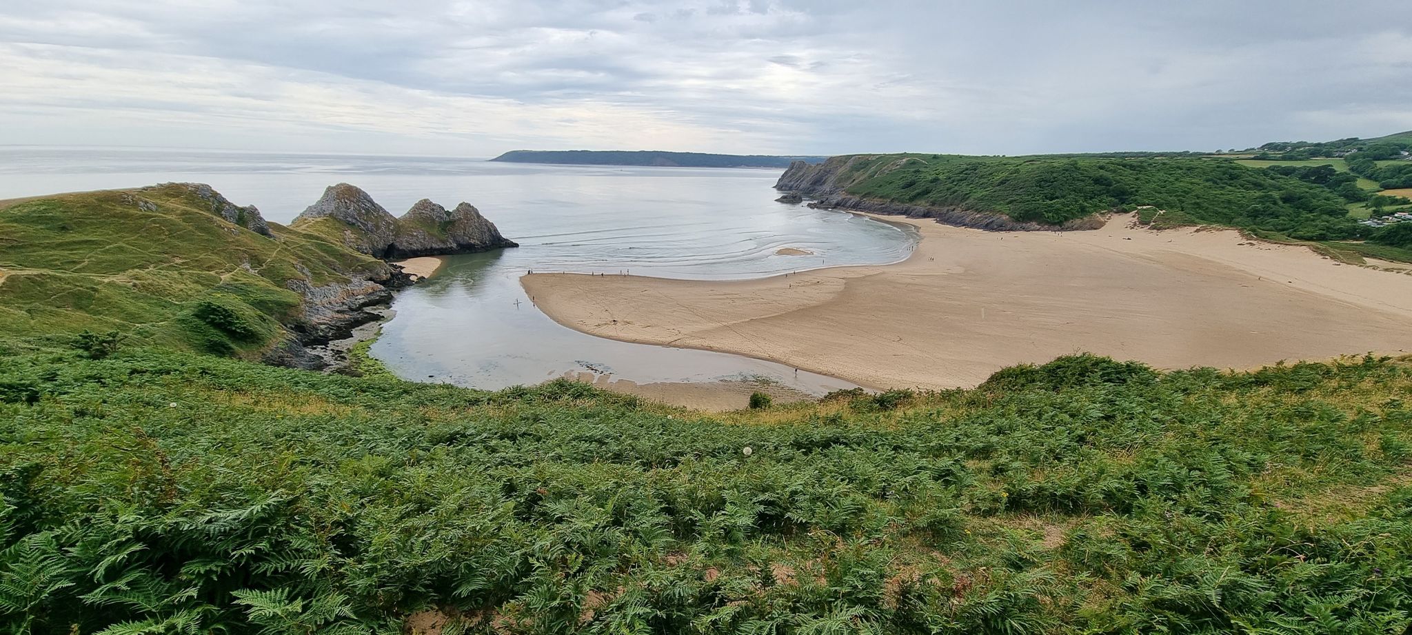
The Gower Edit — Love Trails with komoot
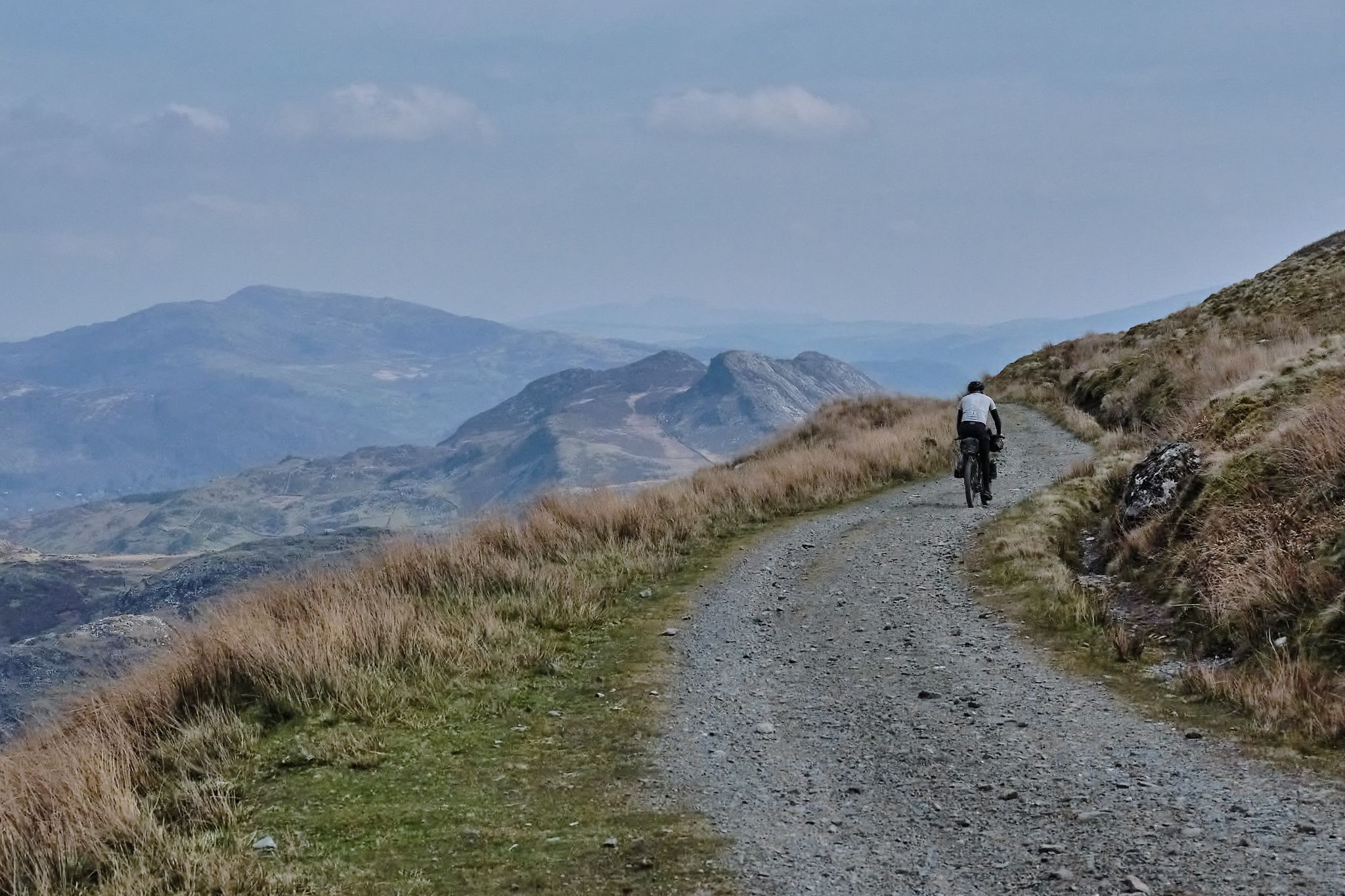
Bikepacking the length of Wales from Worms Head to Great Orme
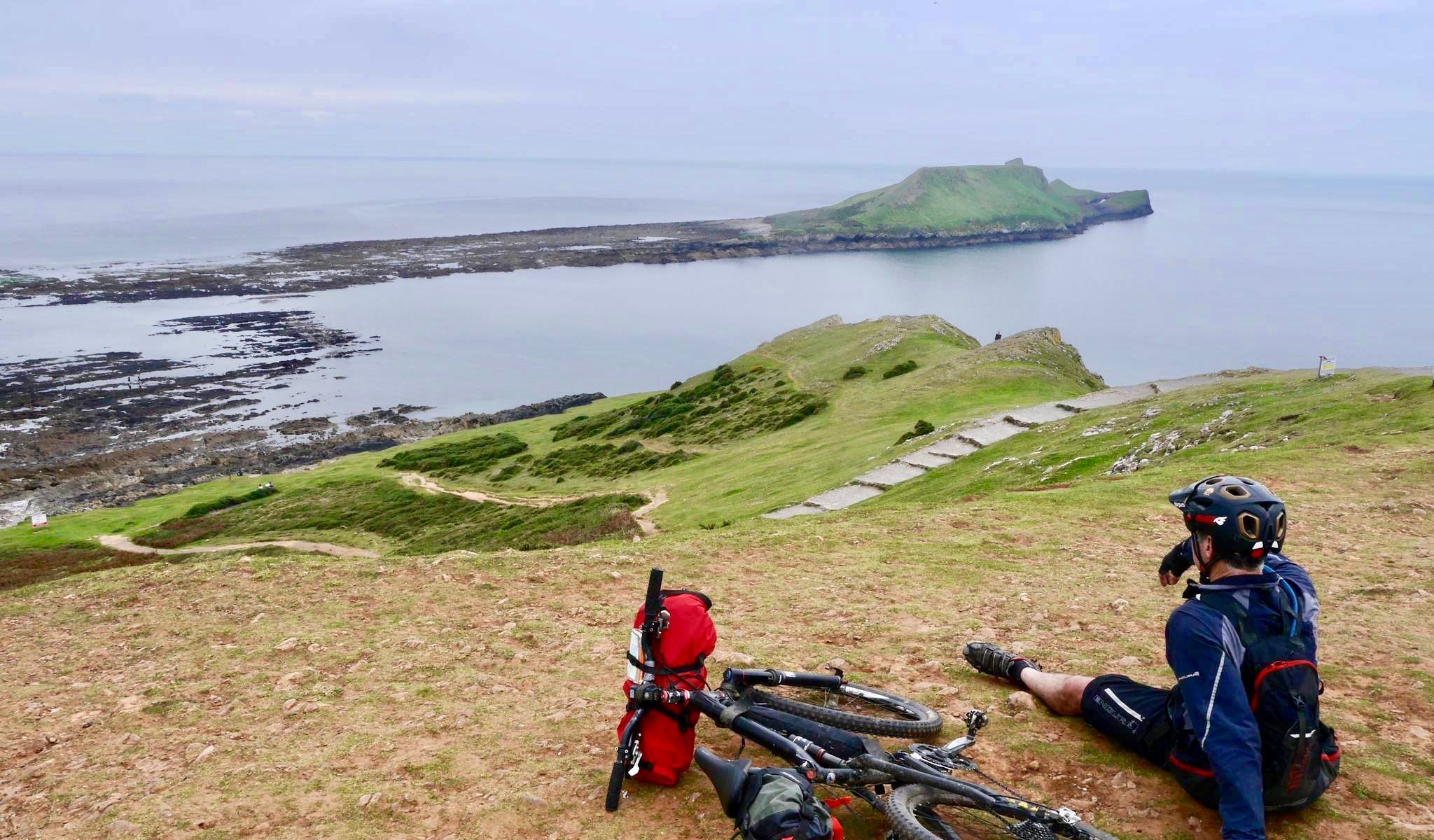
Coastal mountain biking in the South of England and Wales
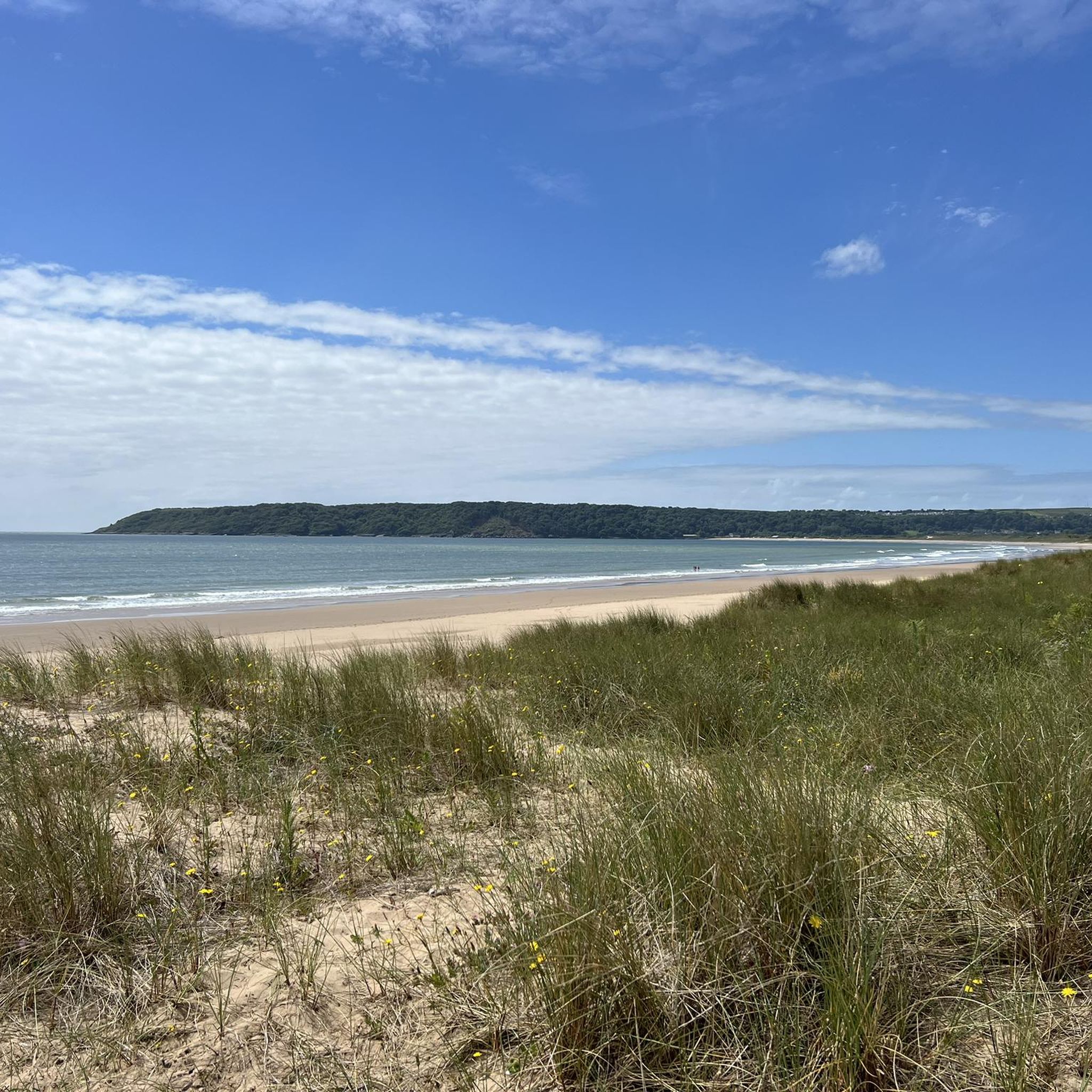
Running Trails around Gower Aonb (Gŵyr Ahne)
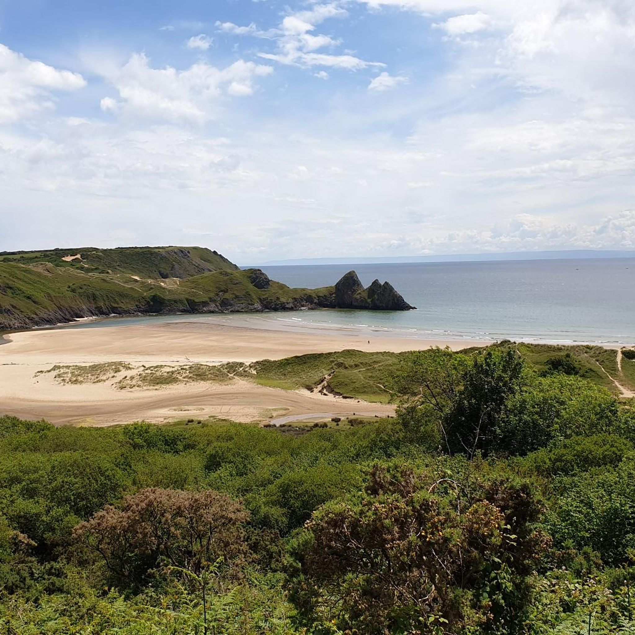
Cycling around Gower Aonb (Gŵyr Ahne)
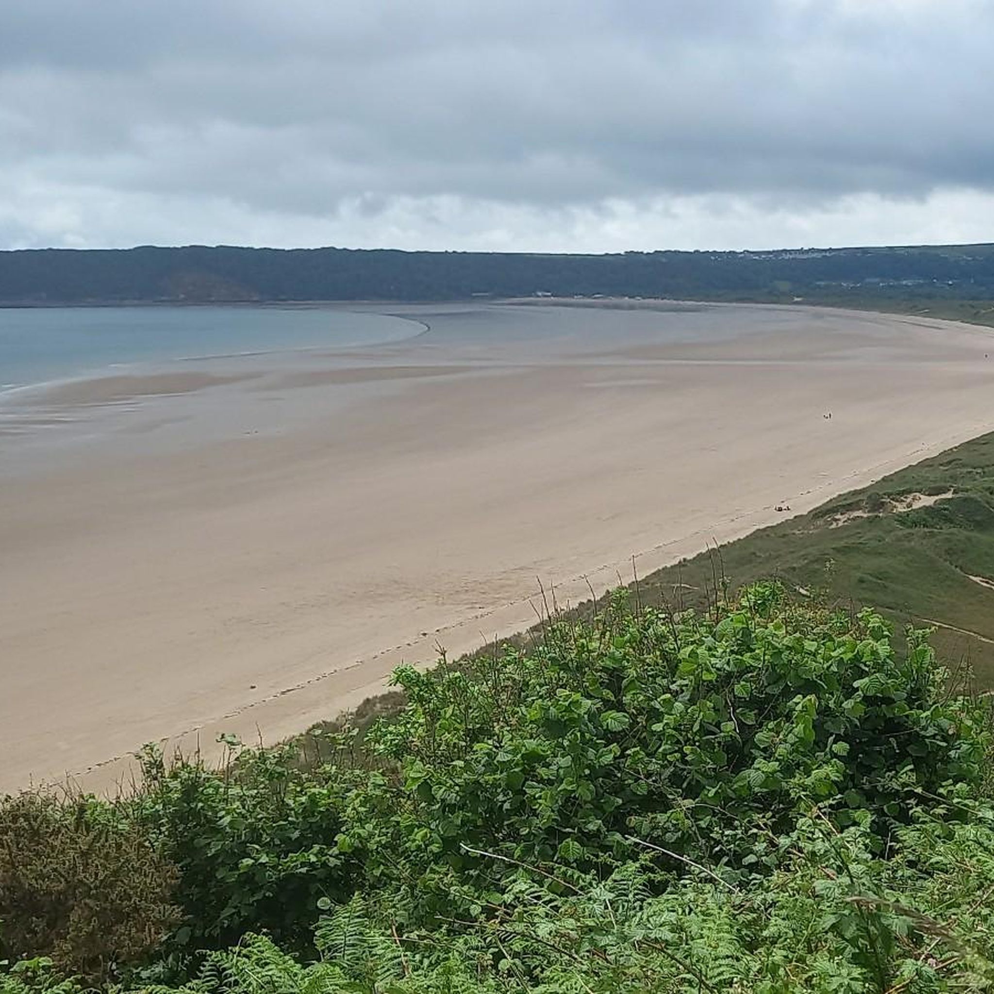
Road Cycling Routes around Gower Aonb (Gŵyr Ahne)
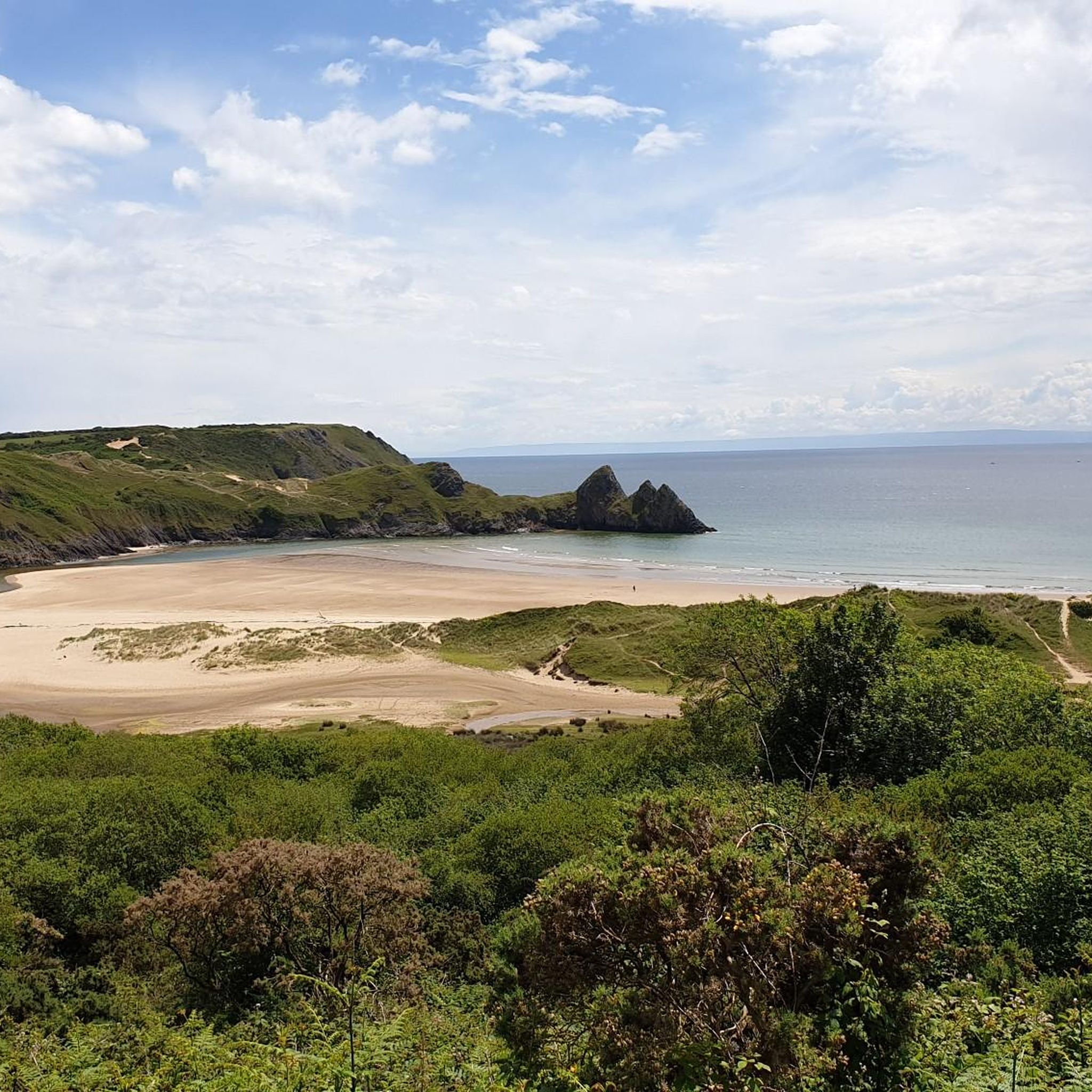
MTB Trails around Gower Aonb (Gŵyr Ahne)
Gravel biking around Gower Aonb (Gŵyr Ahne)
Other adventures around Gower Aonb (Gŵyr Ahne)


Tips from the Community

So peaceful there in the evening. Plenty of greeen space for dogs and kids. Just beautiful
0
0
Fantastic location for kids and adults. Plenty of options for food and drinks there. Shame that the end of the pier is still closed off, hopefully the more people visit will enable funds to be generated for the needed repairs
1
0
Just a short distance away from Langland, has its own cafe which is well stocked with some lovely outdoor seating.
1
0
Beautiful in any weather and time of year, doesn’t have to be sunny to enjoy. Parking hole in the wall shop, a cafe one end and a fantastic restaurant the other. Costal path can get you to Caswell one way and the pier in the other. Cracking walk.
1
0

A nice little old church in Rhossili great walk around the area and you can either get down to the beach or out to Worms head. There is a nice circular walk around the headland here
1
0
Amazing view across Rhossilli Bay and on to Llangenith Beach
1
0
Lovely bay great place to swim. There is a car park and toilets and a nice cafe and restaurant as well
3
0
Frequently Asked Questions
How many hiking trails are there in the Gower AONB?
There are over 280 hiking routes to explore around the Gower AONB. These range from 142 easy walks suitable for most fitness levels to 22 difficult trails for experienced hikers seeking a challenge.
What do other hikers enjoy about the Gower Peninsula?
The Gower is highly rated by the komoot community, with an average score of 4.7 stars. Hikers often praise the stunning coastal scenery, the variety of trails that mix cliff-top paths with beach walks, and the well-preserved natural beauty of the UK's first Area of Outstanding Natural Beauty.
Are there any family-friendly walks in the Gower?
Yes, the Gower has many options for families. A great choice is the Whiteford Sands loop from Llanmadoc. It's a relatively flat, 5-mile (8 km) walk through dunes and pine forests leading to a quiet beach, making it an enjoyable outing for all ages.
Can I get to Gower trailheads using public transport?
Yes, several key areas are accessible by bus from Swansea. For example, you can reach Rhossili, the starting point for walks to Worm's Head, and Mumbles for coastal paths like the Mumbles loop from Langland Bay. It's best to check local bus timetables for the most current service information.
What should I know about parking for Gower Peninsula walks?
Most popular trailheads, such as Rhossili, Oxwich Bay, and Port Eynon, have dedicated pay-and-display car parks. These can fill up quickly, especially on sunny days and during holidays, so arriving early is recommended. Some smaller trailheads may have limited free parking.
Are there any circular walks available?
The Gower is perfect for circular hikes. For a route combining incredible views with a beach walk, try the Rhossili Downs & Beach loop. This moderate 4.5-mile (7.2 km) trail takes you up to the highest point on the peninsula for panoramic views before descending to the famous Rhossili Bay.
Do I need to worry about tides when hiking in the Gower?
Yes, paying attention to tide times is crucial, especially for coastal routes. The causeway to Worm's Head is only accessible for 2.5 hours on either side of low tide. Always check the tide forecast before setting out on any walk that involves crossing beaches or tidal causeways to avoid being cut off.
Are dogs allowed on the hiking trails?
Dogs are welcome on most public footpaths throughout the Gower. However, be aware of seasonal restrictions on some beaches during the summer months (May to September). Also, when walking through farmland, especially around Cefn Bryn, keep your dog on a lead as there is often freely roaming livestock.
What are the best hikes for coastal views?
For dramatic coastal scenery, the Oxwich Natural Nature Reserve loop from Port Eynon is an excellent choice. This 8-mile (12.9 km) moderate hike follows the Wales Coast Path, offering fantastic views over the Bristol Channel and passing through diverse habitats from cliffs to woodlands.
What is the best time of year to hike in the Gower?
You can hike in the Gower year-round, but late spring and summer offer the best weather and longest daylight hours. Spring brings wildflowers to the cliffs, while autumn provides dramatic skies and quieter trails. Winter can be bracing and beautiful, but be prepared for wind and rain.
Are there any challenging hikes for experienced walkers?
For a thrilling challenge, the Worm's Head scramble from Rhossili is a must-do. This route involves a tidal crossing and a rocky scramble to reach the end of the headland. It requires careful planning around the tides and confidence on uneven terrain, rewarding you with a true sense of adventure and the chance to spot seals.
Most popular routes around Gower Aonb (Gŵyr Ahne)
Most popular attractions around Gower Aonb (Gŵyr Ahne)

Get inspired with the komoot mobile app


Explore more
Browse the best Hikes in other regions.
