The best walks and hikes in Zona Protectora Cerro De Escazú
4.5
(28)
256
hikers
6
hikes
Hiking trails in Zona Protectora Cerro De Escazú explore a landscape defined by prominent hills and summits, including Pico Blanco. The region features dense woodlands and offers numerous viewpoints overlooking the Central Valley. These trails provide varied terrain for outdoor activities within the protected area.
Best hiking trails in Zona Protectora Cerro De Escazú
- The most popular hiking route is Cerro Piedra Blancas Summit – Pico Blanco Rock loop from Alajuelita, a 9.9 miles (15.9 km) trail that takes 6 hours 31 minutes to complete. This difficult route ascends to the summit of Pico Blanco.
- Another top favourite among local hikers is Hiking loop from Colón, a moderate 6.2 miles (9.9 km) path. This trail offers a varied experience through the local terrain.
- Local hikers also love the View of the Central Valley – Cerro Piedra Blancas Summit loop from San Antonio, an 8.8 miles (14.2 km) trail leading through hilly terrain, often completed in about 5 hours 34 minutes.
- Hiking in Zona Protectora Cerro De Escazú is defined by hills, summits, and dense woodlands. The network offers options for different ability levels, from moderate paths to more challenging ascents.
- The routes in Zona Protectora Cerro De Escazú are highly rated by the komoot community with an average score of 4.6 stars from over 20 reviews. More than 200 hikers have used komoot to explore Zona Protectora Cerro De Escazú's varied terrain.
Last updated: May 21, 2026
4.7
(3)
31
hikers
15.9km
06:31
1,240m
1,240m
Hard hike. Very good fitness required. Easily-accessible paths. Suitable for all skill levels.
5.0
(2)
6
hikers
9.93km
03:50
710m
710m
Moderate hike. Good fitness required. Easily-accessible paths. Suitable for all skill levels.

Sign up for free
5.0
(1)
2
hikers
14.2km
05:35
1,030m
1,030m
Hard hike. Very good fitness required. Easily-accessible paths. Suitable for all skill levels.
4.5
(2)
9
hikers
11.2km
03:27
380m
380m
Moderate hike. Good fitness required. Easily-accessible paths. Suitable for all skill levels.
4.0
(3)
79
hikers
Moderate hike. Good fitness required. Easily-accessible paths. Suitable for all skill levels.
Our route recommendations are based on thousands of hikes, rides, and runs completed by other people on komoot.
Start today with a free account
Your next adventure awaits.
Login or Signup


Tips from the Community

The basketball and soccer courts are available, there are between 4 and 6 dual-purpose courts.
0
0
Right in the La Sábana Metropolitan Park, a place for walking, running, hiking, cycling, skating, etc.
0
0

You can relax well here! The locals come there to exercise, hang out and go for walks.
0
0
The stadium is the athletes' crown jewel. Two roofs flank the stadium like wings. Around 35,000 spectators can fit in. Only opened in 2011. Remarkable: It was a donation from China. It is one of the most important in the entire region.
0
0
Another highlight of the Mantra Trail. The “I” is missing so please put it in the right place.😜
0
0


Frequently Asked Questions
What is the overall difficulty level of hiking trails in Zona Protectora Cerro De Escazú?
The trails in Zona Protectora Cerro De Escazú are generally considered moderate to difficult. There are no easy trails listed, with 4 routes rated as moderate and 2 as difficult. Hikers should be prepared for varied terrain and significant elevation changes.
Are there any circular hiking routes in Zona Protectora Cerro De Escazú?
Yes, several routes in the area are circular. For instance, you can explore the challenging Cerro Piedra Blancas Summit – Pico Blanco Rock loop from Alajuelita, which takes you to the summit of Pico Blanco. Another option is the moderate Hiking loop from Colón, offering a diverse experience through the local landscape.
What is the best time of year to go hiking in Zona Protectora Cerro De Escazú?
The best time to hike in Zona Protectora Cerro De Escazú is generally during the dry season, which runs from December to April. During these months, you'll experience less rain, clearer skies, and more comfortable trail conditions, making for better views of the Central Valley.
What kind of views or viewpoints can I expect on the trails?
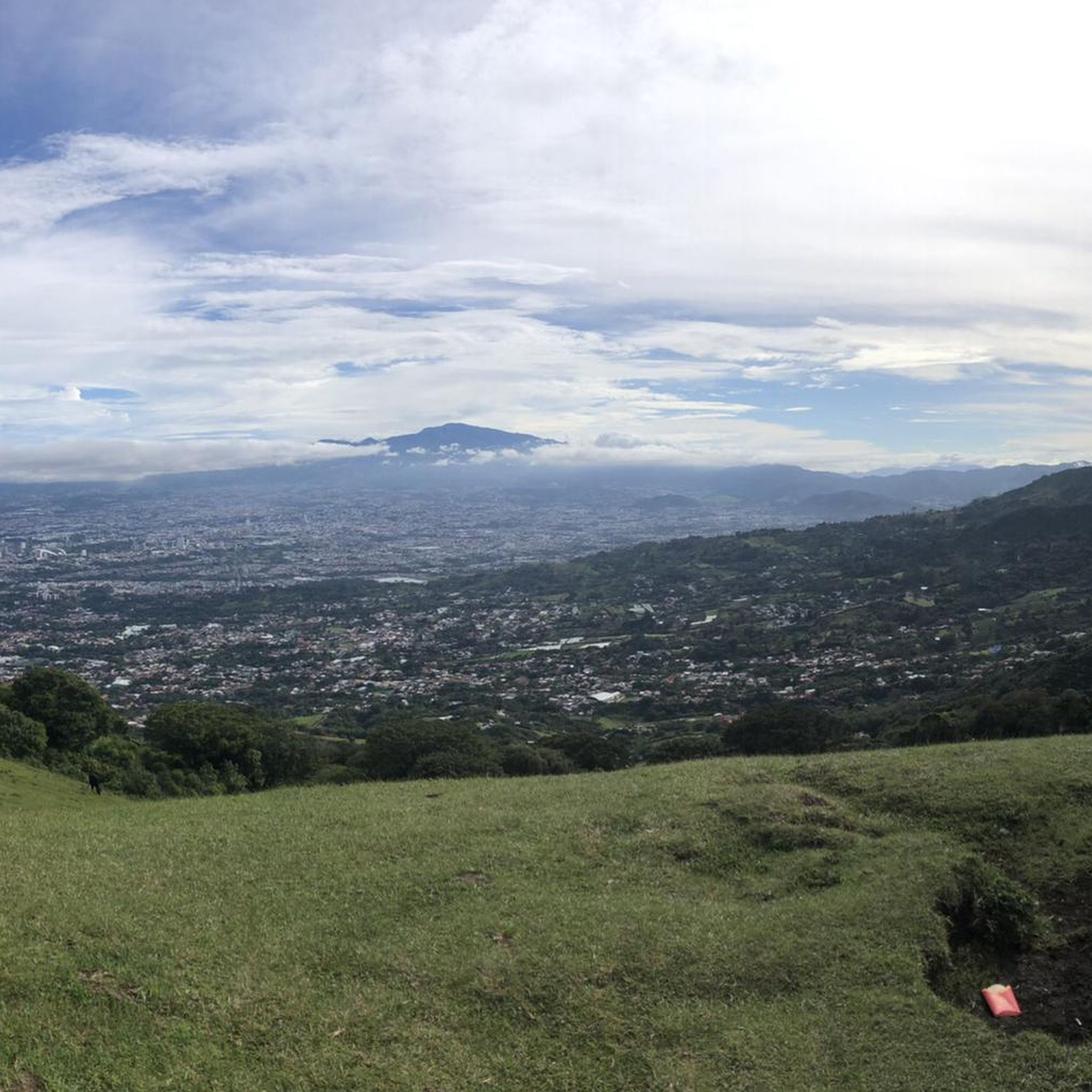
Zona Protectora Cerro De Escazú is renowned for its stunning panoramic views. Many trails offer expansive vistas overlooking the Central Valley. A notable route for scenic outlooks is the difficult View of the Central Valley – Cerro Piedra Blancas Summit loop from San Antonio, which provides excellent opportunities to appreciate the landscape.
Are the trails in Zona Protectora Cerro De Escazú suitable for families with children?
Given that all listed trails are rated as moderate or difficult, and involve significant distances and elevation gains, they may not be suitable for very young children or families seeking very easy, short walks. Families with older, experienced children who are accustomed to challenging hikes might find some moderate routes enjoyable.
What should I wear or bring when hiking in this region?
Due to the varied terrain and potential for changing weather, it's advisable to wear sturdy hiking boots, layered clothing, and bring rain gear, especially during the rainy season. Don't forget plenty of water, snacks, sun protection, and a map or GPS device, as some trails can be challenging.
Is there parking available near the trailheads in Zona Protectora Cerro De Escazú?
Parking availability can vary depending on the specific trailhead. While some popular starting points may have designated parking areas, these can sometimes be limited. It's recommended to research your chosen trailhead in advance or consider carpooling, especially during peak hiking times.
What do other hikers say about their experience in Zona Protectora Cerro De Escazú?
The area is highly rated by the komoot community, with an average score of 4.6 stars from over 20 reviews. Hikers often praise the challenging yet rewarding ascents, the dense woodlands, and the spectacular views of the Central Valley from the summits.
Can I reach the hiking trails using public transport?
Access to trailheads in Zona Protectora Cerro De Escazú by public transport can be limited. While buses might serve nearby towns like Escazú or Alajuelita, reaching the specific starting points of some trails may require a taxi or a short walk. Planning your transport in advance is recommended.
What kind of wildlife might I encounter while hiking?
Zona Protectora Cerro De Escazú is a protected area known for its biodiversity. Hikers might spot various bird species, including hummingbirds and toucans, as well as monkeys, sloths, and other small mammals. Maintaining a respectful distance and not disturbing the wildlife is important.
Are there any cafes or places to eat near the hiking trails?
While the immediate trailheads are typically natural areas, the nearby towns of Escazú and Santa Ana offer a variety of cafes, restaurants, and local eateries where you can refuel before or after your hike. It's a good idea to bring your own snacks and water for the trails themselves.
How long do the hikes typically take in Zona Protectora Cerro De Escazú?
The duration of hikes varies significantly based on the route's length and difficulty. For example, the challenging Cerro Piedra Blancas Summit – Pico Blanco Rock loop from Alajuelita can take over 6 hours, while a moderate route like the Costa Rica Sign – The Hand of Mantra loop from Santa Ana might take around 3.5 hours. Always check the estimated duration for your chosen trail.
Most popular routes in Zona Protectora Cerro De Escazú

Get inspired with the komoot mobile app


Explore more
Browse the best Hikes in other regions.
