The best running trails in Parque Nacional Volcán Barú - Núcleo Rb La Amistad
4.7
(3)
122
runners
6
runs
Jogging in Parque Nacional Volcán Barú - Núcleo Rb La Amistad offers routes through varied terrain, characterized by volcanic landscapes and dense cloud forests. The region features significant elevation changes, including the slopes of Volcán Barú, providing challenging ascents and descents. Running paths often traverse areas with rich biodiversity, offering a natural setting for outdoor activity. The trails are generally well-defined, leading through a mix of natural surfaces and some paved sections.
Best jogging routes in Parque Nacional Volcán Barú…
Last updated: May 20, 2026
4.0
(1)
17
runners
28.5km
04:42
1,840m
1,840m
Hard run. Very good fitness required. Mostly paved surfaces. Suitable for all skill levels.
5.0
(1)
41
runners
9.78km
01:12
200m
200m
Moderate run. Good fitness required. Mostly paved surfaces. Suitable for all skill levels.

Sign up for free
5.0
(1)
41
runners
10.1km
01:14
200m
200m
Moderate run. Good fitness required. Mostly paved surfaces. Suitable for all skill levels.
18
runners
8.37km
01:01
200m
200m
Moderate run. Good fitness required. Mostly paved surfaces. Suitable for all skill levels.
5
runners
12.9km
01:24
220m
220m
Moderate run. Good fitness required. Mostly paved surfaces. Suitable for all skill levels.
Our route recommendations are based on thousands of hikes, rides, and runs completed by other people on komoot.
Start today with a free account
Your next adventure awaits.
Login or Signup
Popular around Parque Nacional Volcán Barú - Núcleo Rb La Amistad
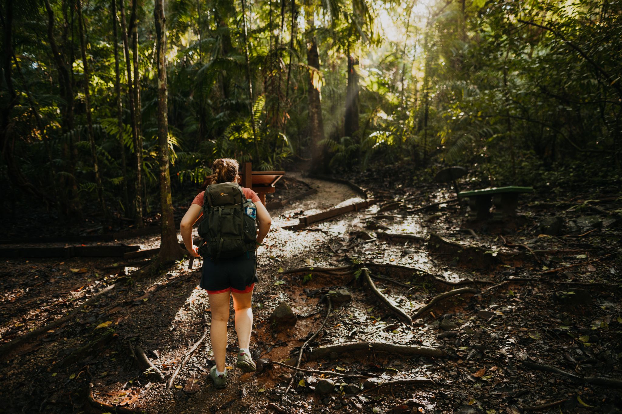
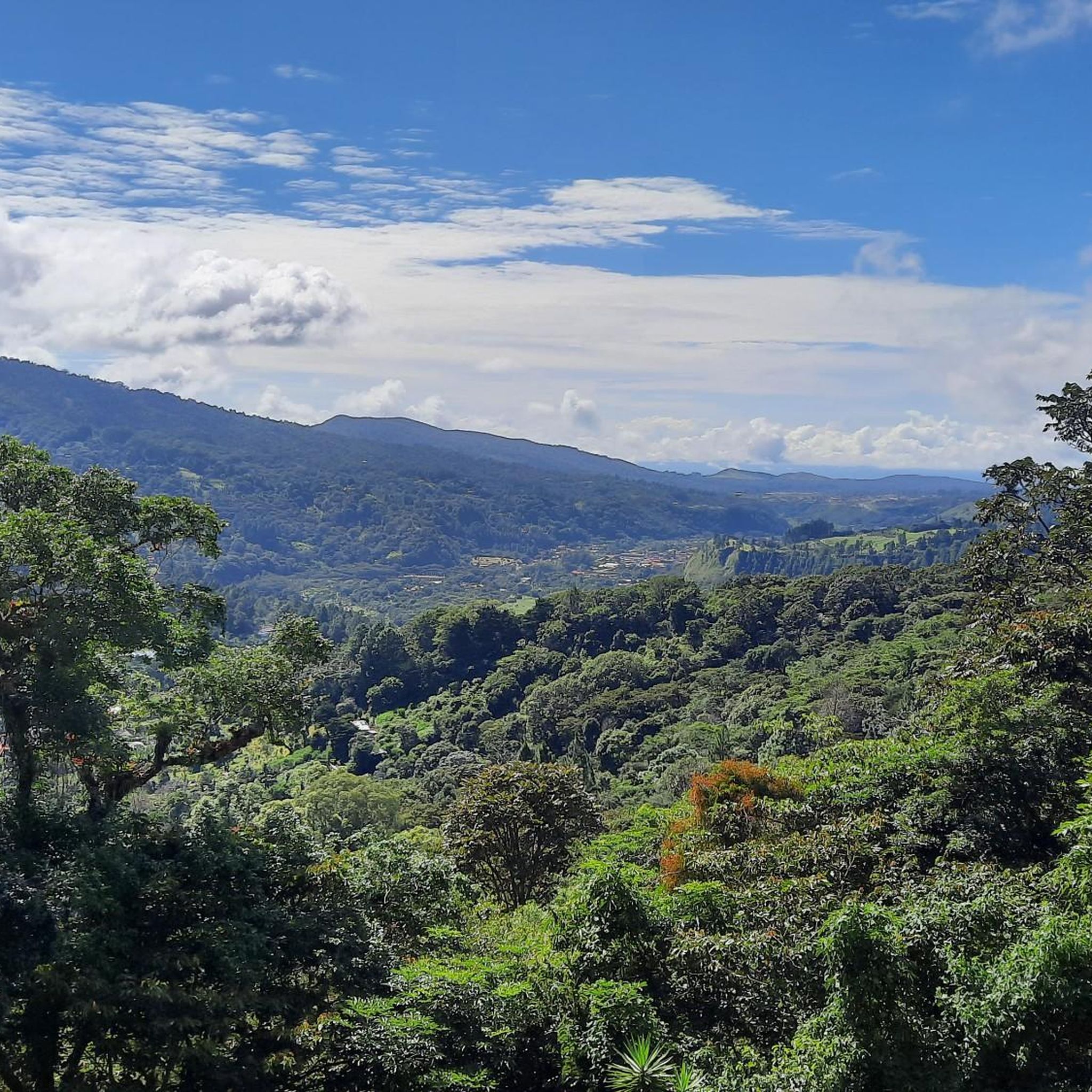

Other adventures in Parque Nacional Volcán Barú - Núcleo Rb La Amistad

Tips from the Community


The ascent from Nueve Bambito is only possible with a guide, which must be arranged in advance. Unfortunately, the staff at the entrance to the park will not let you through if you do not have a reservation.
0
0

From this small viewing platform you can let your way wander over the mountains of Panama and take a break on the way to the summit.
0
1
As you continue to fight your way up, you'll reach an auspicious sign. This shows you that there are only 3.5 kilometers to go to the summit!
2
1

Volcán Barú is an active stratovolcano and the tallest mountain in Panama, at 3,474 metres (11,398 ft) high. It lies about 35 kilometer (22 miles) off the border of Costa Rica. It is also the twelfth highest peak in Central America. A great hike but not such an impressive peak due to radio masts at the summit. It is however a zentralamerican country high point.
2
1
Frequently Asked Questions
How many running routes are available in Parque Nacional Volcán Barú - Núcleo Rb La Amistad?
There are 6 dedicated running routes in Parque Nacional Volcán Barú - Núcleo Rb La Amistad, offering a variety of experiences for runners.
Are there any easy running routes suitable for beginners in the park?
While there are no routes specifically classified as 'easy' in the guide, there are 4 moderate routes that could be suitable for beginners looking for a bit of a challenge. For example, the Running loop from Los Naranjos is a moderate 6.1-mile path with rolling hills.
What kind of terrain can I expect on the running trails in Parque Nacional Volcán Barú?
The running routes in Parque Nacional Volcán Barú - Núcleo Rb La Amistad feature varied terrain, characterized by volcanic landscapes and dense cloud forests. You'll encounter significant elevation changes, including the slopes of Volcán Barú, offering both challenging ascents and descents. Trails often traverse areas with rich biodiversity, combining natural surfaces with some paved sections.
Are there any circular running routes in the area?
Yes, many of the routes are designed as loops. For instance, the popular Volcán Barú loop from Cultivos de hortalizas is a challenging 16.1-mile circular trail. Other loop options include the Running loop from Los Naranjos and the Running loop from Jaramillo.
What can I see along the running routes in Parque Nacional Volcán Barú?
The trails offer opportunities to see various natural attractions. You might encounter the impressive Volcán Barú Summit, the ancient Cenizo (Ulmus Mexicana) – The 1,000-Year-Old Tree, or the serene Waterfall at the End of Pipeline Trail. Many routes also feature viewpoints offering stunning panoramas of the mountains.
What do other runners enjoy most about jogging in Parque Nacional Volcán Barú - Núcleo Rb La Amistad?
The area is highly rated by the komoot community, with an average score of 5.0 stars from 2 reviews. Runners often praise the diverse volcanic landscapes, dense cloud forests, and the challenging yet rewarding ascents and descents that define the region's running experience.
Are there any specific viewpoints along the running trails?
Yes, several routes offer access to scenic viewpoints. You can find a View of the Mountains from the Observation Platform and a general View of Volcán Barú, providing breathtaking vistas of the surrounding natural beauty.
What is the typical duration for a running trail in this national park?
Running trail durations vary significantly based on difficulty and length. For example, a moderate route like the Running loop from Jaramillo typically takes about 1 hour 13 minutes to complete, while a difficult route such as the Volcán Barú loop from Cultivos de hortalizas can take over 4 hours.
Are there any permits required for jogging in Parque Nacional Volcán Barú?
While the guide does not specify permit requirements for jogging, it is generally advisable to check with the park authorities for any entry fees or specific regulations that might apply to certain areas or trails within a national park.
Is there parking available near the jogging trails?
The routes often start from locations like Cultivos de hortalizas, Los Naranjos, and Jaramillo, which are typically accessible by car. While specific parking facilities are not detailed in the route descriptions, these starting points usually have designated or informal parking areas nearby for visitors to the park.
What is the best time of year to go running in Volcán Barú?
The region experiences a dry season from December to April, which generally offers clearer skies and more comfortable running conditions. The wet season, from May to November, brings more rain, which can make trails muddy and challenging, though the cloud forests are particularly lush during this time.
Are there any family-friendly running options in the park?
For families looking for a less strenuous run, the moderate routes are a good starting point. The Running loop from Los Naranjos, at 6.1 miles, offers a balanced experience with rolling hills that could be suitable for active families.
Most popular routes in Parque Nacional Volcán Barú - Núcleo Rb La Amistad
Most popular attractions in Parque Nacional Volcán Barú - Núcleo Rb La Amistad

Get inspired with the komoot mobile app


Explore more
Browse the best Running Trails & Routes in other regions.
