The best walks and hikes around Horriwil
4.5
(1666)
10,760
hikers
547
hikes
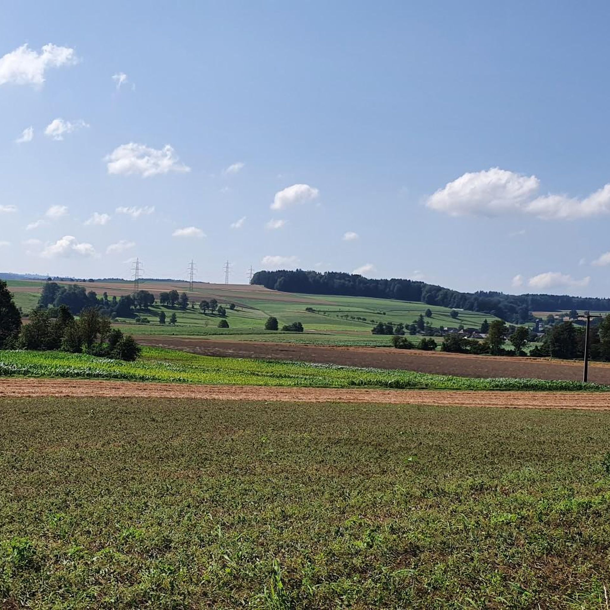
Hiking around Horriwil offers a diverse landscape for outdoor activities. The region features idyllic forests, river landscapes, and vineyards, with trails winding through varied topography. For more challenging terrain, the nearby Jura summits provide opportunities for mountain hikes. The area is characterized by its blend of natural beauty and historical landmarks.
Best hiking trails around Horriwil
- The most popular hiking route is Celtic Burial Mounds loop from Subingen, a 3.0 miles (4.8 km) trail that takes 1 hour 15…
Last updated: October 28, 2026
4.0
(1)
4
hikers
4.85km
01:15
20m
20m
Easy hike. Easily walkable paths.
4
hikers
8.41km
02:11
50m
50m
Moderate hike. Good fitness required. Easily walkable paths.

4
hikers
3.24km
00:50
10m
10m
Easy hike. Easily walkable paths.
1
hikers
11.7km
03:02
70m
70m
Moderate hike. Good fitness required. Easily walkable paths.
5
hikers
6.05km
01:32
10m
10m
Easy hike. Easily walkable paths.
Get access to more routes and recommendations from other explorers.
Already have an account?
Our route recommendations are based on thousands of hikes, rides, and runs completed by other people on komoot.
Start today with a free account
Your next adventure awaits.

Tips from the Community

sry the picture shows the Inkwilersee, but the description unfortunately says Burgäschisee, please correct
0
0
the church tower belongs to the church in Kriegstetten. Halten does not have a church. the description should be changed
0
0

Here you can make yourself comfortable and relax by the lake
0
0

Bookcase in Subingen, At the end of a hike you can still enjoy the last rays of sunshine, take a book and switch off from everyday life.
0
0

Inkwilersee invites you to linger! 👍👍
1
0
Inkwilersee is located on Urzeitenweg, half of which is in the canton of Solothurn and the other half in the canton of Bern. Idyllically located at 461 m above sea level
4
1

Always nice here. It also has a hidden snap emergency station. But you have to look for it yourself, it is not an emergency station in the sun ...
0
1
Frequently Asked Questions
How many hiking trails are there in Horriwil?
Horriwil offers a wide variety of hiking opportunities, with over 580 trails available. These range from easy strolls to more challenging mountain routes, catering to all skill levels.
What kind of terrain can I expect on hikes around Horriwil?
The region around Horriwil features diverse terrain, including idyllic forests, scenic river landscapes, and vineyards. For those seeking more challenge, the nearby Jura summits offer mountainous paths. Some trails, like the Mättu Wändli, can be rugged and may involve assisted sections with chains.
Are there easy hiking options suitable for beginners in Horriwil?
Yes, Horriwil has plenty of easy hiking options, with over 330 trails classified as easy. An example is the Celtic Burial Mounds loop from Subingen, which is 3.0 miles (4.8 km) and takes about 1 hour 15 minutes to complete.
Are there challenging hikes for experienced hikers near Horriwil?
For experienced hikers, there are 18 difficult routes available. These more demanding trails, particularly in the Jura summits, can involve significant elevation gain and require good fitness, sure-footedness, sturdy shoes, and alpine experience. Features like the Herrenloch, a tunnel through rock, add an adventurous element to some routes.
What natural features or landmarks can I see while hiking near Horriwil?
Hikers can discover a variety of natural features and landmarks. The prominent Jura summit, The Chöpfli, offers rewarding views and a summit book. You might also encounter the unique Herrenloch, a tunnel through rock, or explore trails leading past old mills and castle ruins.
Are there any lakes or water features to explore on hikes?
Yes, the region offers beautiful lake and river landscapes. You can hike along rivers or visit several lakes, such as Lake Burgäschi and Inkwilersee. The Inkwilersee – Lake Burgäschi loop from Bezirk Wasseramt is a popular moderate trail that takes you through these scenic areas.
Are there family-friendly hiking trails in Horriwil?
Many of the easy trails in Horriwil are suitable for families. The diverse landscape with forests and gentle paths provides a pleasant environment for all ages. Consider routes that explore local historical features or offer picnic areas, such as the Pfaffenweiher Picnic Area loop from Subingen.
Can I bring my dog on hikes around Horriwil?
While specific regulations can vary, many trails in Horriwil's natural settings are generally dog-friendly. It's always recommended to keep dogs on a leash, especially in nature reserves or near livestock, and to carry waste bags. Always check local signage for any restrictions.
Are there circular hiking routes available in Horriwil?
Yes, many of the hiking routes around Horriwil are circular, allowing you to start and end at the same point. Examples include the Pfaffenweiher Picnic Area – Celtic Burial Mounds loop from Bezirk Wasseramt and the Public Bookcase in Subingen loop from Bezirk Wasseramt.
What do other hikers enjoy the most about hiking in Horriwil?
The hiking trails in Horriwil are highly rated by the komoot community, with an average score of 4.6 stars from over 1,400 reviews. Hikers often praise the diverse landscape, which includes idyllic forests, river views, and the opportunity to explore both natural beauty and historical landmarks.
What is the best time to visit Horriwil for hiking?
Horriwil offers hiking opportunities throughout much of the year. Spring and autumn provide pleasant temperatures and vibrant scenery, while summer is ideal for enjoying the river and lake areas. For more challenging mountain routes, summer and early autumn are generally preferred when conditions are more stable.
Most popular routes around Horriwil
Most popular attractions around Horriwil

Get inspired with the komoot mobile app


Explore more
Browse the best Hikes in other regions.
