The best road cycling routes in Sumas Mountain Regional Park
4.7
(7)
139
riders
8
rides
Road cycling routes in Sumas Mountain Regional Park are situated within the expansive Fraser Valley, characterized by significant elevation changes and diverse forest ecosystems. While the park itself is primarily known for mountain biking, road cycling routes often traverse the areas surrounding the mountain. These routes offer views of the Fraser Valley and agricultural plains, with some segments featuring paved surfaces and others potentially shared with various vehicles. The terrain includes both gradual ascents and more challenging climbs, reflecting the region's varied topography.
Best road cycling routes in Sumas Mountain Regional Park
- The most popular road cycling route is Roadbike loop from Sandy Hill Road at Sandy Hill Place (NB), a 40.1 miles (64.5 km) trail that takes 2 hours 53 minutes to complete, offering extensive views across the Fraser Valley.
- Another top favourite among local road cyclists is Roadbike loop from Irene Kelleher Totí:ltawtxw Elementary School, an easy 28.1 miles (45.3 km) path. This route winds through the lower elevations, providing a less strenuous ride through the surrounding landscape.
- Local road cyclists also love the Kendall Lake – Silver Lake loop from Irene Kelleher Totí:ltawtxw Elementary School, a 41.0 miles (66.0 km) trail leading through varied terrain with views of the lakes, often completed in about 2 hours 48 minutes.
- Road cycling in Sumas Mountain Regional Park is defined by forested slopes, agricultural plains, and panoramic views of the Fraser Valley. The network offers options for easy, moderate, and more challenging routes, catering to different ability levels.
- The routes in Sumas Mountain Regional Park are highly rated by the komoot community with an average score of 5.0 stars from a few reviews. More than 100 road cyclists have used komoot to explore Sumas Mountain Regional Park's varied terrain.
Last updated: August 6, 2026
21
riders
Moderate road ride. Good fitness required. Some segments of this route may be unpaved and difficult to ride.
4.0
(1)
3
riders
48.2km
02:08
410m
410m
Moderate road ride. Good fitness required. Mostly well-paved surfaces and easy to ride.

Sign up for free
5.0
(3)
41
riders
45.7km
01:55
280m
280m
Easy road ride. Great for any fitness level. Mostly well-paved surfaces and easy to ride.
7
riders
Moderate road ride. Good fitness required. Mostly well-paved surfaces and easy to ride.
5.0
(3)
13
riders
34.9km
01:22
30m
30m
Easy road ride. Great for any fitness level. Mostly well-paved surfaces and easy to ride.
Get access to more routes and recommendations from other explorers.
Sign up for free
Already have an account?
Our route recommendations are based on thousands of hikes, rides, and runs completed by other people on komoot.
Start today with a free account
Your next adventure awaits.
Login or Signup
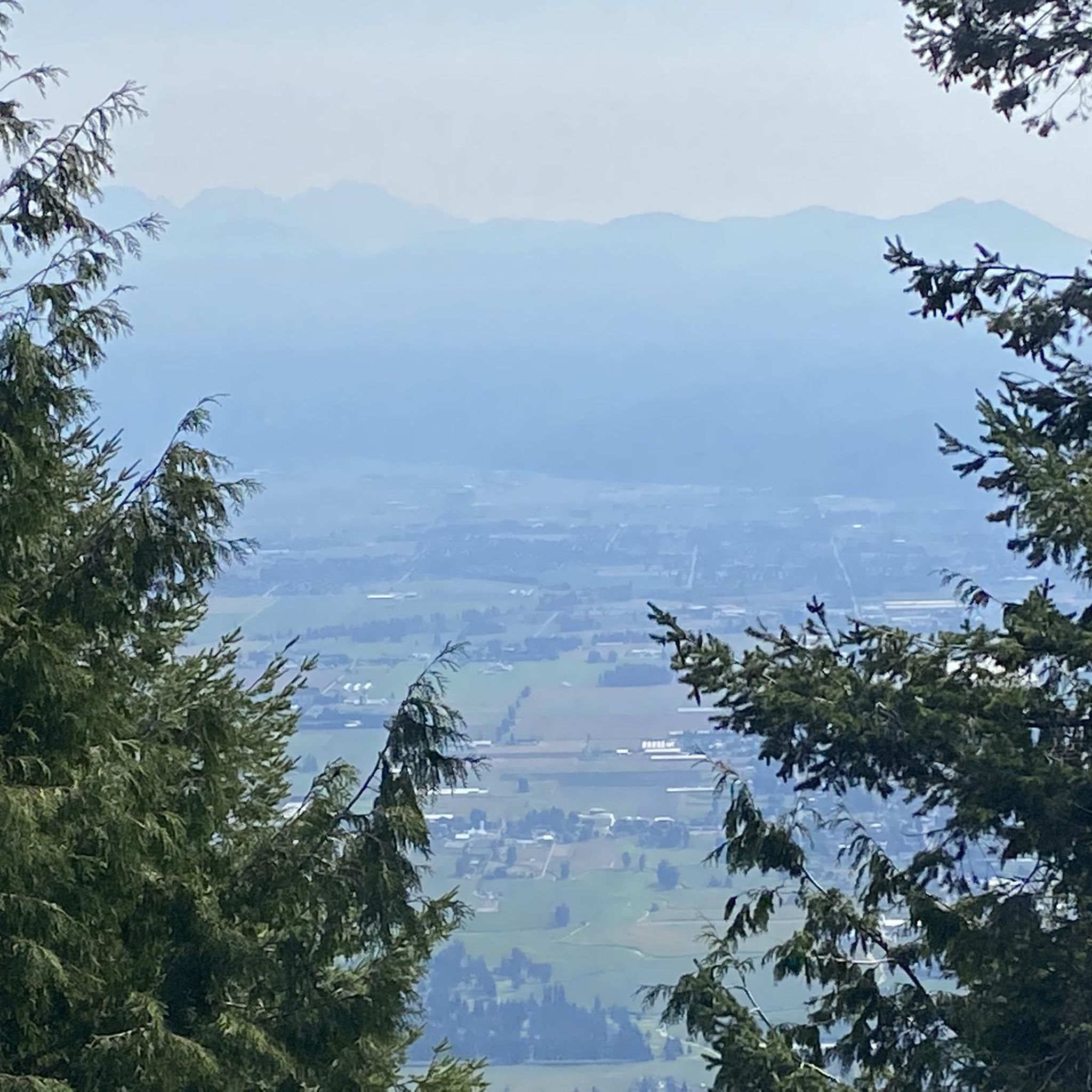

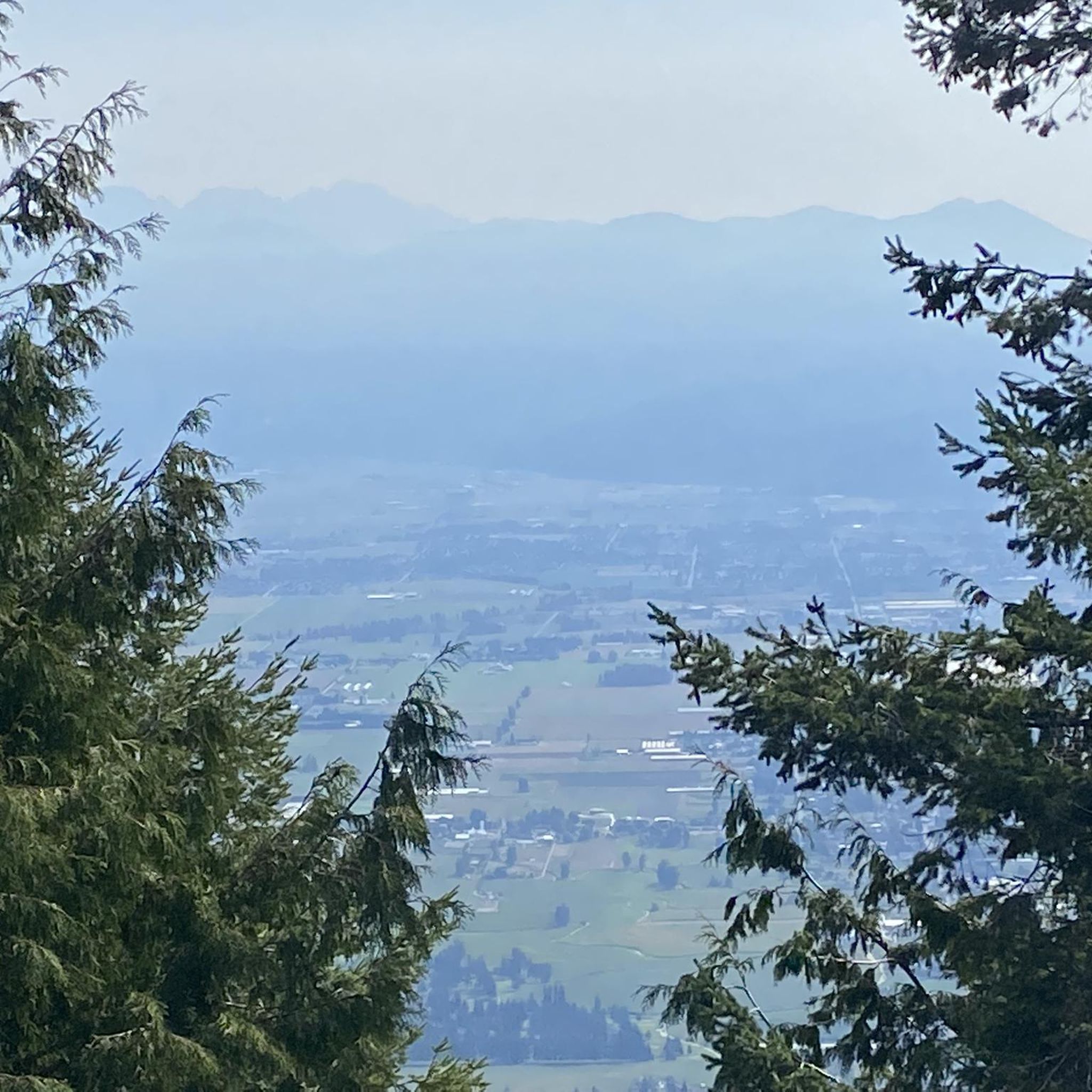
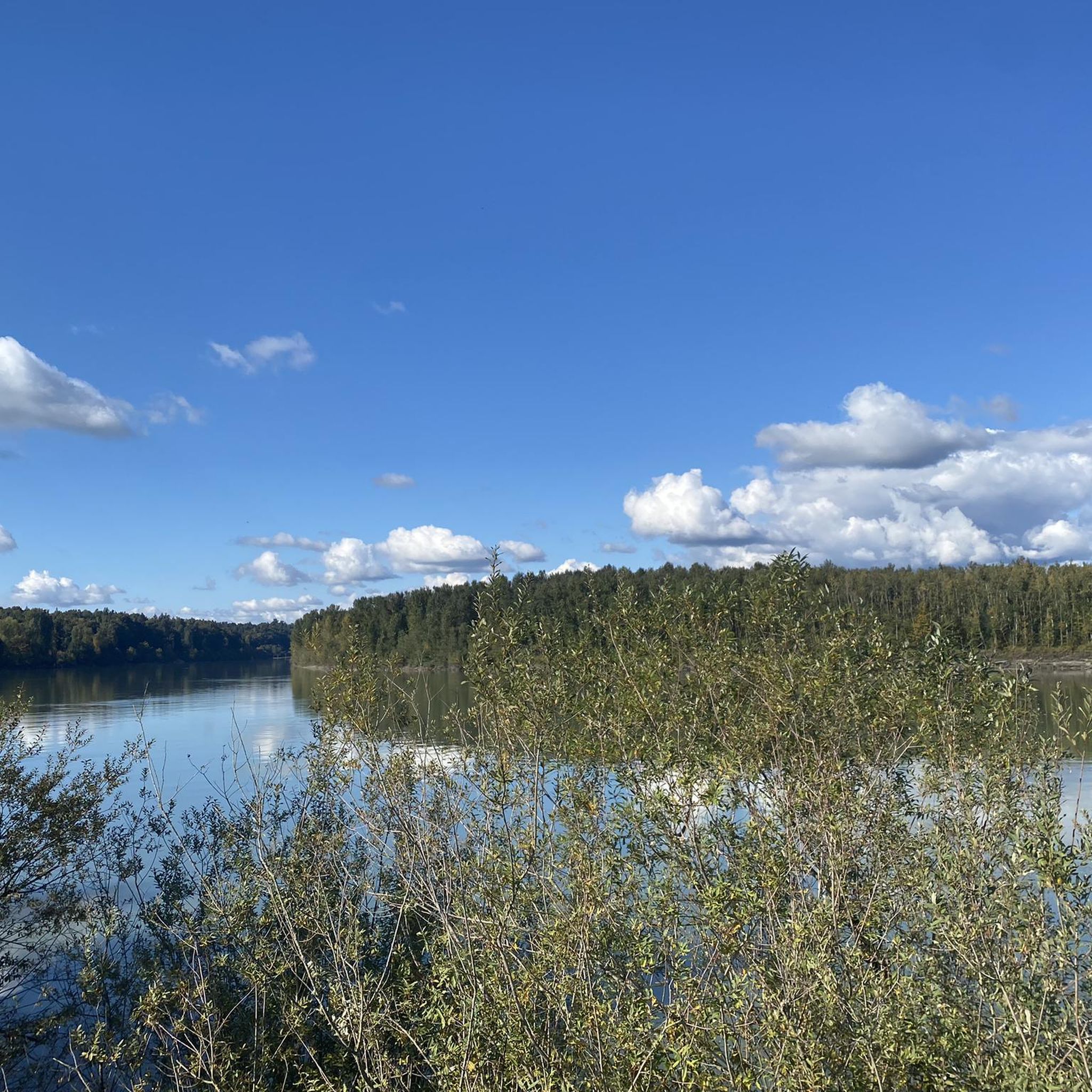

Tips from the Community

This small community park is surrounded by residential neighbourhoods with lots of open grassy areas and mature trees, perfect for a picnic on the lawn. The park includes a large figure-8 paved walkway with a few scattered benches, and is a local favourite spot for walkers, runners and cyclists to enjoy spending time outdoors away from the high traffic in this area. There are no washrooms here, but it’s a lovely place for a short walk or a break if you are hiking on one of the nearby trails.
0
0
Discovery Trail is a lovely multi-use route that stretches across Abbotsford, connecting parks, neighbourhoods, schools, and natural areas through the heart of the city. This paved trail is mostly flat and follows a mix of urban greenspace and creekside corridors, making it popular for walking, running, and cycling. Along the way, you’ll pass public art, viewpoints, wetlands, and forested sections, making this an ideal route to experience a little bit of everything that Abbotsford’s natural and cultural landscapes have to offer.
0
0

Clayburn Creek Park is a thickly forested area, full of western red cedar, western hemlock, and bigleaf maple trees. The area gets its name from the history of the Clayburn Brick Factory, whose bricks can still be seen in some old buildings today. The Clayburn Creek Trail, which is open to hiking and biking, was once the path used by the railway for delivering and transporting bricks from the factory.
0
0

Birchwood Dairy is a popular resupply and rest point, selling ice cream and cold drinks. Washrooms are open to the public. There are picnic tables and a playground for young children.
1
0
Frequently Asked Questions
How many road cycling routes are available in the Sumas Mountain Regional Park area?
There are 10 road cycling routes available in the Sumas Mountain Regional Park area, offering a range of experiences for different skill levels.
What kind of terrain can I expect on road cycling routes around Sumas Mountain?
The terrain around Sumas Mountain Regional Park is varied, featuring forested slopes, agricultural plains, and significant elevation changes. While some segments are paved, be aware that certain roads, especially those leading directly into the regional park, can be rough, unpaved, and shared with other vehicles like ATVs and trucks. Routes often include both gradual ascents and more challenging climbs.
Are there any easy road cycling routes for beginners or families?
Yes, there are 3 easy road cycling routes available. A good option for a less strenuous ride is the Roadbike loop from Irene Kelleher Totí:ltawtxw Elementary School, which is 28.1 miles (45.3 km) long and winds through lower elevations.
What are some notable landmarks or viewpoints I can see while road cycling in the area?
While cycling around Sumas Mountain, you can enjoy panoramic views of the Fraser Valley, Sumas Prairie, and the Fraser River from various points. Lookouts like Baker Rock and Sumas Peak within the regional park offer spectacular vistas, though accessing them directly on a road bike might involve rougher sections. Chadsey Lake is another scenic spot within the park.
What do other road cyclists enjoy most about the routes in the Sumas Mountain Regional Park area?
The routes in the Sumas Mountain Regional Park area are highly rated by the komoot community, with an average score of 5.0 stars. Cyclists often praise the diverse scenery, which includes forested slopes and agricultural plains, and the panoramic views of the Fraser Valley.
Are there any circular road cycling routes available?
Yes, many of the routes are designed as loops. For example, the Roadbike loop from Sandy Hill Road at Sandy Hill Place (NB) is a popular 40.1-mile (64.5 km) option offering extensive views, and the Kendall Lake – Silver Lake loop from Irene Kelleher Totí:ltawtxw Elementary School is a 41.0-mile (66.0 km) route through varied terrain.
Is Sumas Mountain Regional Park suitable for road cycling with dogs?
Sumas Mountain Regional Park is generally dog-friendly for activities like hiking, but specific rules for dogs on cycling trails can vary. Given that many road cycling routes are on public roads around the park, standard leash laws apply. Within the regional park itself, trails are often shared with mountain bikers and hikers, so always ensure your dog is leashed and under control.
What is the best time of year to go road cycling around Sumas Mountain?
The Fraser Valley generally offers good cycling conditions from spring through fall. While paragliding is popular in winter and early spring, road conditions can be more challenging during these months due to potential rain, mud, or debris, especially on less-maintained sections. For the most comfortable experience, aim for late spring, summer, or early fall.
Are there any cafes or places to stop for refreshments near the road cycling routes?
While the immediate vicinity of Sumas Mountain Regional Park is more rural, nearby towns like Abbotsford, Clayburn, or Yarrow, which serve as starting points for some routes, offer various cafes, pubs, and restaurants where you can refuel before or after your ride.
What is the longest road cycling route in the area?
The longest route currently available is the Kendall Lake – Silver Lake loop from Irene Kelleher Totí:ltawtxw Elementary School, covering 41.0 miles (66.0 km) with moderate difficulty.
Is public transport available to access the road cycling routes?
Direct public transport to the core of Sumas Mountain Regional Park is limited. However, some routes start from more accessible locations like Irene Kelleher Totí:ltawtxw Elementary School or Yarrow Sportsfield, which may be reachable via local transit services in the Fraser Valley. It's advisable to check local transit schedules for specific connections.
Where can I find more information about Sumas Mountain Regional Park itself?
For general information about Sumas Mountain Regional Park, including its facilities and other activities, you can visit the Tourism Abbotsford website: tourismabbotsford.ca.
Most popular routes in Sumas Mountain Regional Park

Get inspired with the komoot mobile app


Explore more
Browse the best Road cycling routes in other regions.
