The best road cycling routes in Fort Casey State Park
4.6
(5)
128
riders
12
rides
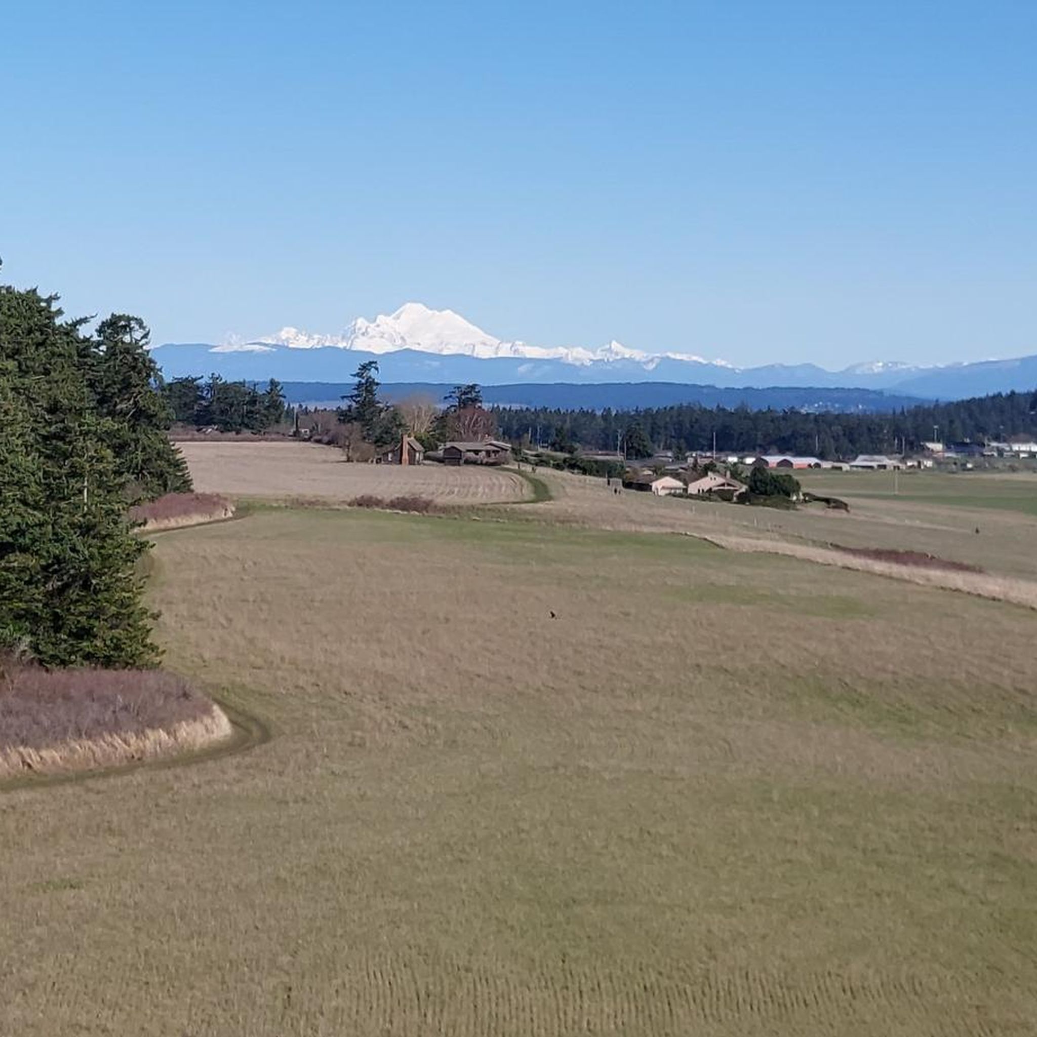
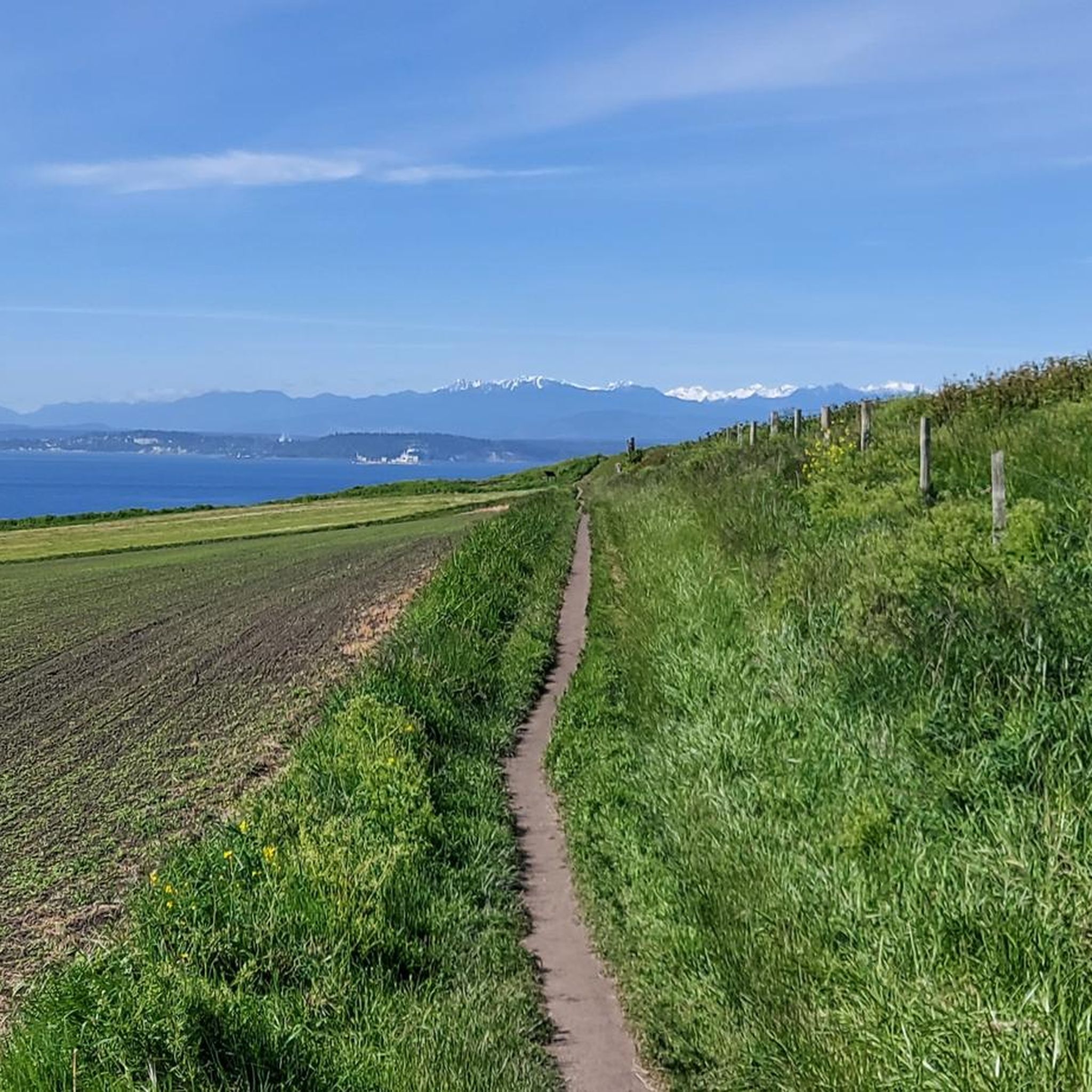
Road cycling in Fort Casey State Park features coastal roads with views of Puget Sound, interspersed with routes through the island's interior. The terrain includes gentle inclines and some rolling sections, characteristic of Whidbey Island's landscape. Routes often connect historical sites and small towns, offering varied scenery for road cyclists.
Best road cycling routes in Fort Casey State Park
- The most popular road cycling route is Coupeville Ferry Terminal – Coupeville Wharf loop from Fort Casey State Park, a 20.1 miles (32.4 km) trail that takes 1 hour 44 minutes to complete. This moderate route connects two key waterfront locations.
- Another top favourite among local road cyclists is Coupeville Ferry Terminal – South Whidbey State Park loop from Fort Casey State Park, a moderate 38.3 miles (61.6 km) path. This route explores a significant portion of Whidbey Island's southern coast.
- Local road cyclists also love the Coupeville Wharf – Toby's Tavern loop from Coupeville, a 23.5 miles (37.9 km) trail leading through coastal and local town areas, often completed in about 2 hours 9 minutes.
- Road cycling in Fort Casey State Park is defined by coastal views, rolling terrain, and connections to historical sites. The network offers options for different ability levels, from easy loops to more challenging distances.
- The routes in Fort Casey State Park are highly rated by the komoot community with an average score of 5.0 stars from over 3 reviews. More than 100 road cyclists have used komoot to explore Fort Casey State Park's varied terrain.
Last updated: October 12, 2026
3.0
(1)
11
riders
Moderate road ride. Good fitness required. Mostly well-paved surfaces and easy to ride.
5.0
(1)
5
riders
Easy road ride. Great for any fitness level. Mostly well-paved surfaces and easy to ride.

10
riders
40.3km
01:52
520m
520m
Moderate road ride. Good fitness required. Mostly well-paved surfaces and easy to ride.
40.7km
01:57
580m
580m
The Port Townsend To Discovery Bay cycling route offers a diverse ride through the Olympic Peninsula's eastern edge, blending historic waterfronts with tranquil forests and expansive green valleys. You'll encounter varied terrain, from paved sections near Port Townsend's harbor to crushed gravel on the Larry Scott Trail, and even a short, almost single-track stretch through the woods. Keep an eye out for wildlife at the Snow and Salmon Creek Estuary Preserve, a highlight along the way.
This moderate 25.3-mile (40.7 km) route, with 1892 feet (577 metres) of elevation gain, typically takes around 1 hour and 57 minutes to complete. While much of the ride is on paved rural roads, some unpaved or gravel sections, particularly on the Olympic Discovery Trail, mean it's best suited for a hybrid or gravel bike. Be aware of a shoulderless "pure hill" on State Route 20 that requires extra caution.
This segment forms the easternmost part of the larger Olympic Discovery Trail, a multi-use route stretching nearly 130 miles across the Olympic Peninsula. It's a fantastic way to experience the region's natural beauty and is recognized as the westernmost segment of the Great American Rail-Trail. The mix of dedicated trails and rural roads provides a unique road cycling experience, though some parts may challenge those on pure road bikes.
113km
05:46
1,640m
1,640m
Embark on an epic road cycling adventure from Port Townsend to Mount Walker, a route that transitions from the gentle beauty of the Olympic Discovery Trail to the demanding ascent of a mountain peak. You'll pedal through diverse landscapes of forests, farmlands, and small towns, enjoying views of the Puget Sound, before tackling the challenging climb up Forest Road 2730. The reward for your effort is a breathtaking 360-degree panorama from the Mount Walker viewpoints, showcasing snow-capped peaks like Mt. Rainier and Mt. Baker, along with distant cityscapes.
This is a difficult 70.1-mile (112.8 km) ride with a significant 5391 feet (1643 metres) of elevation gain, typically taking around 5 hours and 45 minutes. It's best suited for experienced road cyclists with excellent fitness, as the climb to Mount Walker features steep grades and can have loose gravel, potentially requiring you to push your bike. Plan for a long day and ensure your bike is in top condition for this strenuous journey.
The Port Townsend to Mount Walker cycling route is notable for its substantial length and the dramatic contrast between its initial segments and the final, strenuous climb. It offers a comprehensive road cycling experience, combining the varied terrain of the Olympic Discovery Trail with the immense satisfaction of conquering a challenging mountain ascent. The unparalleled views from the summit, encompassing both natural landmarks and urban areas, make this a truly memorable ride for those seeking a significant challenge.
Get access to more routes and recommendations from other explorers.
Already have an account?
Our route recommendations are based on thousands of hikes, rides, and runs completed by other people on komoot.
Start today with a free account
Your next adventure awaits.
Popular around Fort Casey State Park

Tips from the Community

The Coupeville Ferry Terminal links Whidbey Island and the Olympic Peninsula via the Port Townsend–Coupeville ferry route. A 5-mile crossing over Admiralty Inlet takes about 30–36 minutes. Tickets for adult passengers are $4.25, with discounts available for seniors and individuals with disabilities. For real-time ferry status, schedules, and reservations, visit https://wsdot.wa.gov/travel/washington-state-ferries
0
0

At the South Viewpoint you are able to see Mount Rainier, the state's loftiest peak at 14,410 feet. Beyond this natural wonder, the distant panorama includes glimpses of major metropolitan areas. Everett, situated 33 miles away, Seattle at 28 miles, and Tacoma 39 miles in the distance all come into view. When the day is exceptionally clear, you might even spot the iconic Seattle Space Needle.
0
0
The climb up can be a challenge, but the rewards are well worth it. From this viewpoint, you're treated to stunning 360 views. To the west, you'll catch a glimpse of Mt. Jupiter, the nearest high peak to Hood Canal. Further on, Mt. Constance stands as the third-highest peak in the Olympics, with its awe-inspiring rock faces. On exceptionally clear days, you'll even spot Mt. Baker to the northeast, the state's fourth-highest peak with a remarkable glacial system.
0
0

Whidbey Island's blockhouses, crafted during the Indian Wars of 1855-1857, stand as sentinels of a time marked by vigilance and unity. While never tested in battle, they transformed into storage and a law office. Today, these historic monuments, including the Crockett blockhouse, endure within Ebey's Landing National Historic Reserve, preserving a poignant chapter of our history.
0
0
Scenic road from Port Townsend to Discovery Bay. This road is great for cycling as it's wooded and part of the Olympic Discovery Trail.
0
0
The Salmon and Snow Creek Estuary plays a vital role in safeguarding marine life habitats. Here, wildlife thrives and it's a great place to make a stop. You can find summer chum and salmon, making it an ideal sanctuary for Puget Sound Chinook, coho, sturgeon, steelhead, and cutthroat trout. This estuary fosters a flourishing ecosystem for shellfish, shorebirds, waterfowl, eagles, and elk.
0
0
Here, you will see a sign for the Olympic National Forest. There is also a visitor information center located at the Hood Canal Ranger District Station.
0
0
Forest Road 2730 offers a picturesque route to the summit of Mount Walker. The journey covers approximately 4 miles. While the road is paved, be mindful of loose gravel in certain sections, and exercise caution as it can be quite narrow.
0
0
Frequently Asked Questions
How many road cycling routes are available in Fort Casey State Park?
Fort Casey State Park offers 13 road cycling routes, catering to various skill levels. You'll find a mix of easy, moderate, and challenging options to explore the area.
Are there easy road cycling routes suitable for beginners in Fort Casey State Park?
Yes, Fort Casey State Park has 4 easy road cycling routes perfect for beginners. A great option is the Coupeville Ferry Terminal – Coupeville Blockhouse loop from Island County, which is about 13.5 miles long with minimal elevation gain.
What are some challenging road cycling routes in Fort Casey State Park?
For those seeking a challenge, the park offers one difficult route. Additionally, several moderate routes provide a good workout, such as the Coupeville Ferry Terminal – South Whidbey State Park loop from Fort Casey State Park, which covers 38.3 miles and features significant elevation changes.
Are there any scenic loop routes for road cycling in Fort Casey State Park?
Many routes in Fort Casey State Park are loops, offering continuous scenic views. A popular choice is the Coupeville Ferry Terminal – Coupeville Wharf loop from Fort Casey State Park, a 20.1-mile moderate ride connecting key waterfront locations with coastal vistas.
What kind of terrain can I expect on road cycling routes in Fort Casey State Park?
The terrain in Fort Casey State Park primarily features coastal roads with stunning views of Puget Sound. You'll encounter gentle inclines and rolling sections, characteristic of Whidbey Island's landscape, often connecting historical sites and small towns.
What do other road cyclists enjoy most about road cycling in Fort Casey State Park?
The area is highly rated by the komoot community, with an average score of 5.0 stars. Reviewers often praise the diverse scenery, from coastal views to routes through the island's interior, and the connection to historical sites.
Are there family-friendly road cycling options in Fort Casey State Park?
While specific 'family-friendly' designations aren't provided, the 4 easy routes in the park are generally suitable for families looking for less strenuous rides. These routes typically have lower elevation gains and shorter distances.
What is the best season for road biking in Fort Casey State Park?
The best season for road biking in Fort Casey State Park is typically late spring through early fall (May to October) when the weather is milder and rainfall is less frequent. This allows for clearer views and more comfortable riding conditions along the coast.
Where can I find cafes or places to refuel near Fort Casey State Park biking routes?
Many routes connect to small towns like Coupeville, which offer opportunities to refuel. For example, the Coupeville Wharf – Toby's Tavern loop from Coupeville specifically mentions a local establishment, indicating that towns along the routes are good places to find cafes and eateries.
Are there any routes that offer historical points of interest in Fort Casey State Park?
Yes, many road cycling routes in Fort Casey State Park are designed to connect historical sites and small towns. The park itself is a historic military fort, and routes often pass by or through areas with significant historical relevance, offering a blend of natural beauty and cultural exploration.
What should I bring for road biking in Fort Casey State Park?
Given the coastal environment and varied terrain, it's advisable to bring layers of clothing, as weather can change quickly. Essential items include water, snacks, a repair kit, and sun protection. A helmet is always recommended for safety.
Are there any alternatives to road biking within Fort Casey State Park?
While this guide focuses on road cycling, Fort Casey State Park offers other outdoor activities. You can explore the historic fort, enjoy beach access, or walk along trails. For different cycling experiences, Whidbey Island also has mountain biking and gravel routes outside the immediate park area.
Most popular routes in Fort Casey State Park

Get inspired with the komoot mobile app


Explore more
Browse the best Road cycling routes in other regions.
