The best road cycling routes in Oak Bay Islands Ecological Reserve
4.7
(116)
3,064
riders
73
rides
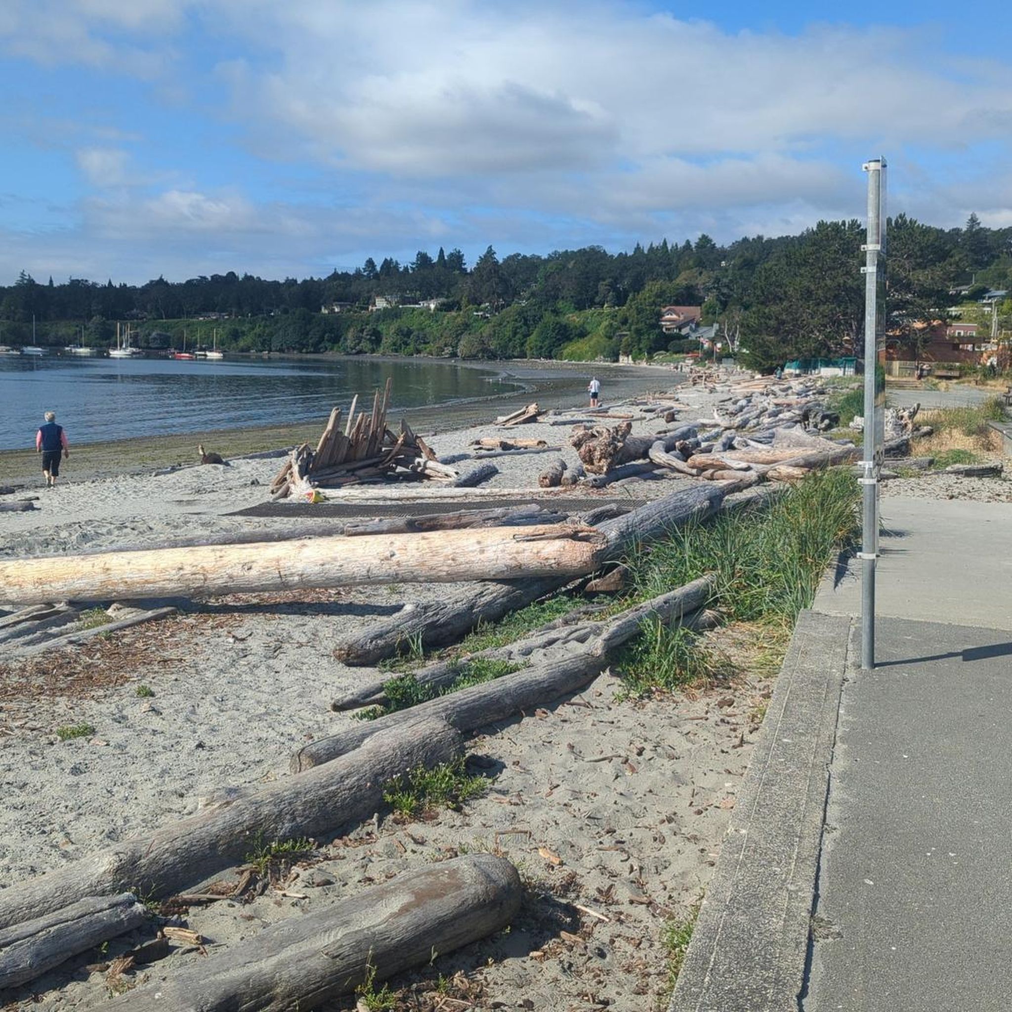
Road cycling routes in Oak Bay Islands Ecological Reserve offer diverse terrain along the scenic coastline of British Columbia. The region features uncrowded routes through tree-lined neighborhoods and gentle hills, providing frequent ocean views of the Salish Sea. The landscape is characterized by coastal paths, established gardens, and views of rocky outcrops, with many routes featuring mostly paved surfaces. The broader Oak Bay area allows cyclists to appreciate its natural features and islands from a distance.
Best road cycling routes in Oak Bay Islands Ecological Reserve
- The most popular road cycling route is Victoria Inner Harbour – Inner Harbour, Victoria loop from Oak Bay, a 38.6 miles (62.2 km) trail that takes 3 hours 16 minutes to complete. This route connects to Victoria's Inner Harbour, offering varied urban and coastal scenery.
- Another top favourite among local road cyclists is Haro Woods – Doris Page Park loop from Oak Bay, a moderate 18.8 miles (30.2 km) path. This route explores the Haro Woods area, providing a mix of natural surroundings and local roads.
- Local road cyclists also love the Sewage Pump Site – Victoria Golf Club loop from St. Michaels University School, a 16.9 miles (27.1 km) trail leading through coastal areas and past the golf club, often completed in about 1 hour 12 minutes.
- Road cycling in Oak Bay Islands Ecological Reserve is defined by coastal paths, tree-lined neighborhoods, and gentle hills. The network offers options for different ability levels, with 21 easy, 51 moderate, and 2 difficult routes.
- The routes in Oak Bay Islands Ecological Reserve are highly rated by the komoot community with an average score of 4.5 stars from over 90 reviews. More than 3,500 road cyclists have used komoot to explore Oak Bay Islands Ecological Reserve's varied terrain.
Last updated: August 14, 2026
48
riders
Moderate road ride. Good fitness required. Some segments of this route may be unpaved and difficult to ride.
5.0
(2)
18
riders
41.2km
01:58
420m
420m
Moderate road ride. Good fitness required. Mostly well-paved surfaces and easy to ride.

Sign up for free
5.0
(1)
15
riders
22.0km
01:01
210m
220m
Moderate road ride. Great for any fitness level. Some segments of this route may be unpaved and difficult to ride.
5.0
(1)
43
riders
26.7km
01:12
230m
230m
Easy road ride. Great for any fitness level. Mostly well-paved surfaces and easy to ride.
5
riders
Moderate road ride. Good fitness required. Some segments of this route may be unpaved and difficult to ride.
Get access to more routes and recommendations from other explorers.
Sign up for free
Already have an account?
Our route recommendations are based on thousands of hikes, rides, and runs completed by other people on komoot.
Start today with a free account
Your next adventure awaits.
Login or Signup
Tips from the Community

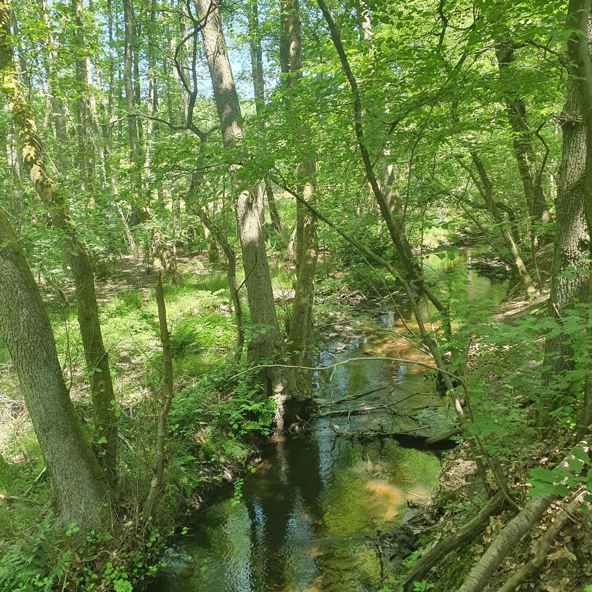
This paved, multiuse path follows Bowker Creek for almost all of its 1.3 km length. For a longer adventure, link it up with other pedestrian-friendly trails around Oak Bay.
0
0

Mount Tolmie Park is a popular spot known for its elevated panoramic views over Victoria, the Saanich Peninsula, and surrounding waterways, with sightlines extending to the Olympic Mountains, San Juan Islands, and even Mount Baker on clear days. There are more than 1.5 kilometres of trails that wind through oak meadows, along rocky outcrops, and arbutus woodland to viewpoints, picnic areas, and quieter natural spaces. Despite being close to the city, the park feels surprisingly natural, with rocky bluffs, beautiful wildflowers in spring, and the chance to explore one of British Columbia’s few native Garry oak ecosystems.
0
0
Mount Tolmie is a prominent volcanic hill rising about 120 metres above sea level in Saanich, offering some of the widest views in the Victoria area from its rocky summit. Easily reached by trail or road, it is a popular place to watch sunsets, spot spring wildflowers, and take in the vast perspective of the surrounding landscape.
0
0

Triangle Park is a small local park just west of the Johnson Street Bridge. It has a mix of public art, tupelo trees, benches, and simple lighting that gives it a relaxed, neighborhood feel. The park sits along the Vancouver Island Trail, so it’s a nice spot to pause if you’re walking or biking through the area.
0
0

Gorge Waterway Park follows a stretch of the Gorge Waterway between Tillicum and Admirals Roads. It can be a great place to spot wildlife like seals, otters, and various species of birds of prey. The park also offers some opportunities to enjoy public art and horticultural displays.
0
0
Elk/Beaver Lake Regional Park is a fantastic location that surrounds two conjoined lakes with forest trails and water access. The park includes a 10-kilometer multi-use loop trail, four beaches, and opportunities for swimming, paddling, fishing, and horseback riding. With its blend of lakeshore, wetlands, and second-growth forest, it’s a popular year-round destination for families and athletes and is a great place to spend an afternoon, especially on a warm, sunny day.
0
0

Victoria's Inner Harbour stretches from the narrows between Laurel Point and Songhees Point to Johnson Street Bridge. This is where the ferry terminal for connections to Port Angeles in Washington State is located, as well as the marina in front of the Fairmont Empress Hotel and docks for smaller ships and boats. Regular seaplane flights to Vancouver and Seattle depart from Victoria Inner Harbour Airport. https://en.wikipedia.org/wiki/Victoria_Harbour_(British_Columbia)#Inner_Harbour
2
0
The Johnson Street Bridge spans the waters of Victoria Harbour at a narrow point. The single-leaf bascule bridge opened in March 2018. At night, the bridge is illuminated in blue. This commemorates the original bridge from 1924, which was also called the 'Blue Bridge' because of its light blue color.
3
1
Frequently Asked Questions
Can I road bike directly within the Oak Bay Islands Ecological Reserve?
The Oak Bay Islands Ecological Reserve itself is a protected area with restricted public access to safeguard sensitive ecosystems and nesting seabirds. However, the surrounding Oak Bay area offers excellent road cycling opportunities with routes that provide stunning views of the ecological reserve islands and the Salish Sea from a distance.
What types of road cycling routes can I find in the Oak Bay area?
The Oak Bay area features a diverse network of road cycling routes, ranging from uncrowded paths through tree-lined neighborhoods to scenic waterfront rides. You'll find options with gentle hills, coastal paths, and established gardens. The komoot community has rated these routes highly, with an average score of 4.6 stars.
Are there road cycling routes suitable for beginners in Oak Bay?
Yes, the Oak Bay area offers a variety of routes for different skill levels. There are 18 routes classified as easy, providing a great starting point for beginners or those looking for a relaxed ride. Many routes offer frequent ocean views without overly challenging terrain.
What are some popular loop trails for road cycling in Oak Bay?
Many road cycling routes in Oak Bay are designed as loops, allowing you to start and finish in the same location. A popular moderate loop is the Haro Woods loop from Oak Bay, which explores natural surroundings and local roads over 15.4 miles (24.7 km). Another option is the longer Victoria Golf Club loop from Oak Bay, covering 39.8 miles (64.0 km) through coastal areas.
What kind of views and natural features can I expect to see while road cycling in Oak Bay?
Road cycling in Oak Bay offers spectacular coastal views of the Salish Sea, with opportunities to spot marine life such as seals, sea lions, and various seabirds. You'll also see the protected Oak Bay Islands Ecological Reserve from a distance, along with rocky outcrops, charming tree-lined neighborhoods, and established gardens. Urban parks like Uplands Park and Kitty Islet also provide pleasant views.
Are there any family-friendly road cycling options in Oak Bay?
While specific 'family-friendly' routes are not explicitly categorized, the presence of 18 easy routes suggests there are many suitable options for families. The uncrowded nature of many routes and the scenic, generally slow-traffic conditions on roads like Marine Drive make it a pleasant area for cycling with varying skill levels. Consider routes that stick to quieter residential streets or dedicated paths where available.
What is the best season for road biking in the Oak Bay area?
The Oak Bay area is generally pleasant for road cycling throughout much of the year. Spring and summer offer the warmest weather and best chances for clear skies, making it ideal for enjoying the coastal views and marine life. Fall can also be beautiful with changing foliage, while mild winters may still allow for cycling, though rain is more common.
Where can I find parking when planning a road cycling trip in Oak Bay?
Oak Bay is a cycling-friendly community, and parking is generally available in various public areas and neighborhood streets. For specific starting points, it's advisable to check local parking regulations. Many routes can be accessed from residential areas or parks within Oak Bay.
What are some longer road cycling routes in the Oak Bay area?
For longer rides, consider routes that connect to broader regional trails. The Lochside Regional Trail – Inner Harbour, Victoria loop from Ten Mile Point is a substantial 37.1 miles (59.8 km) route that connects to Victoria's Inner Harbour, offering varied urban and coastal scenery. Another long option is the Victoria Golf Club loop from Oak Bay, which is 39.8 miles (64.0 km).
Are there any specific cycling rules or considerations for road biking in Oak Bay?
When cycling in Oak Bay, adhere to standard road cycling rules, including obeying traffic laws and using appropriate hand signals. While roads like Marine Drive offer frequent ocean views, they can be narrow; traffic is generally slow and accommodating for cyclists. Always be mindful of pedestrians and other road users, especially in village centers and along shared paths. For more information on cycling in the area, you can visit Oak Bay Tourism's cycling page.
What do other road cyclists enjoy most about road cycling in Oak Bay?
The area is highly rated by the komoot community, with an average score of 4.6 stars from over 90 reviews. Reviewers often praise the stunning coastal views, the uncrowded nature of many routes, and the ability to appreciate the natural beauty of the ecological reserve from accessible vantage points. The mix of urban and natural scenery, along with well-maintained roads, also receives positive feedback.
Can I combine road cycling with exploring other attractions in Oak Bay?
Absolutely. The Oak Bay area is rich with attractions beyond cycling. You can easily combine your ride with visits to urban parks and gardens like Abkhazi Garden or Finnerty Gardens, or enjoy pleasant strolls along coastal paths at places like Kitty Islet. These spots offer further views of the marine environment and the Olympic Mountains. For more details on parks and nature, you can check Oak Bay Tourism's parks and nature page.
Most popular routes in Oak Bay Islands Ecological Reserve

Get inspired with the komoot mobile app


Explore more
Browse the best Road cycling routes in other regions.
