The best walks and hikes in Mount Maxwell Ecological Reserve
4.8
(68)
619
hikers
38
hikes
Hiking in Mount Maxwell Ecological Reserve offers diverse landscapes, from dense Douglas-fir forests to significant Garry oak stands and rocky outcrops. The area features varied terrain with notable elevation changes, providing panoramic views of the Gulf Islands and Burgoyne Bay. Trails lead to high vantage points like Baynes Peak, which stands at 602 meters. This ecological reserve is characterized by its unique ecosystems and crucial biodiversity.
Best hiking trails in Mount Maxwell Ecological Reserve
- The most popular hiking route is Hiking loop from Burgoyne Bay Provincial Park, a 4.7 miles (7.6 km) trail that takes 3 hours 14 minutes to complete. This moderate route features significant elevation gain, offering expansive views.
- Another top favourite among local hikers is Hiking loop from Mount Maxwell Provincial Park, a moderate 3.6 miles (5.8 km) path. This trail is suitable for various fitness levels, winding through the park's natural beauty.
- Local hikers also love the Bruce Peak loop from Burgoyne Bay Provincial Park, an 8.3 miles (13.4 km) trail leading through diverse landscapes and forests, often completed in about 4 hours 39 minutes.
- Hiking in Mount Maxwell Ecological Reserve is defined by Garry oak stands, Douglas-fir forests, and panoramic viewpoints. The network offers options for easy, moderate, and challenging ability levels.
- The routes in Mount Maxwell Ecological Reserve are highly rated by the komoot community with an average score of 4.8 stars from over 60 reviews. More than 600 hikers have used komoot to explore Mount Maxwell Ecological Reserve's varied terrain.
Last updated: October 5, 2026
5.0
(3)
11
hikers
5.50km
02:00
270m
270m
Moderate hike. Great for any fitness level. Mostly accessible paths. Sure-footedness required.
5.0
(3)
37
hikers
6.23km
02:43
540m
540m
Moderate hike. Good fitness required. Mostly accessible paths. Sure-footedness required.

5.0
(1)
9
hikers
9.40km
03:29
550m
550m
Moderate hike. Good fitness required. Mostly accessible paths. Sure-footedness required.
13
hikers
5.89km
01:59
230m
230m
Moderate hike. Great for any fitness level. Mostly accessible paths. Sure-footedness required.
5.0
(1)
5
hikers
3.90km
01:17
180m
180m
Easy hike. Great for any fitness level. Easily-accessible paths. Suitable for all skill levels.
Get access to more routes and recommendations from other explorers.
Already have an account?
Our route recommendations are based on thousands of hikes, rides, and runs completed by other people on komoot.
Start today with a free account
Your next adventure awaits.

Tips from the Community

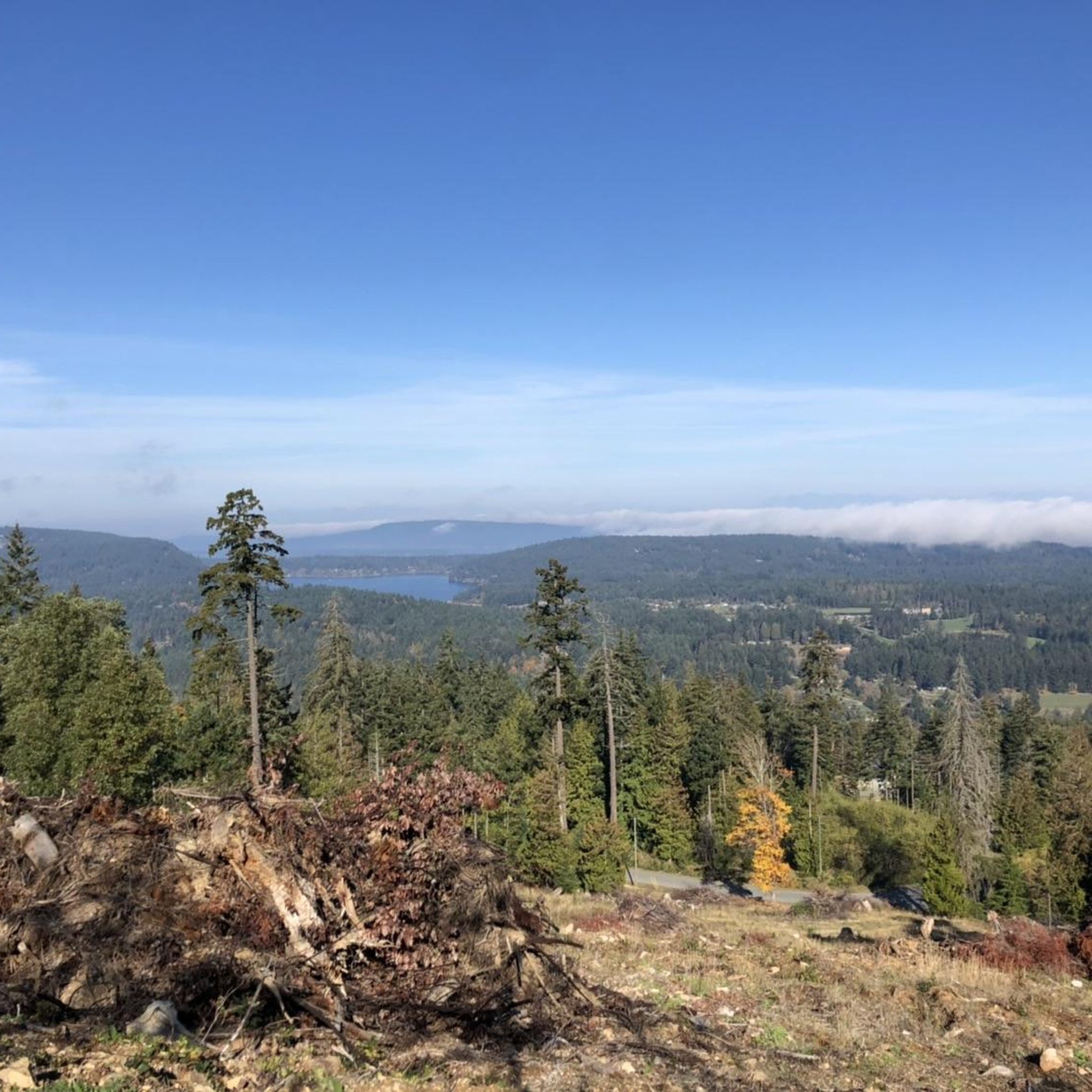
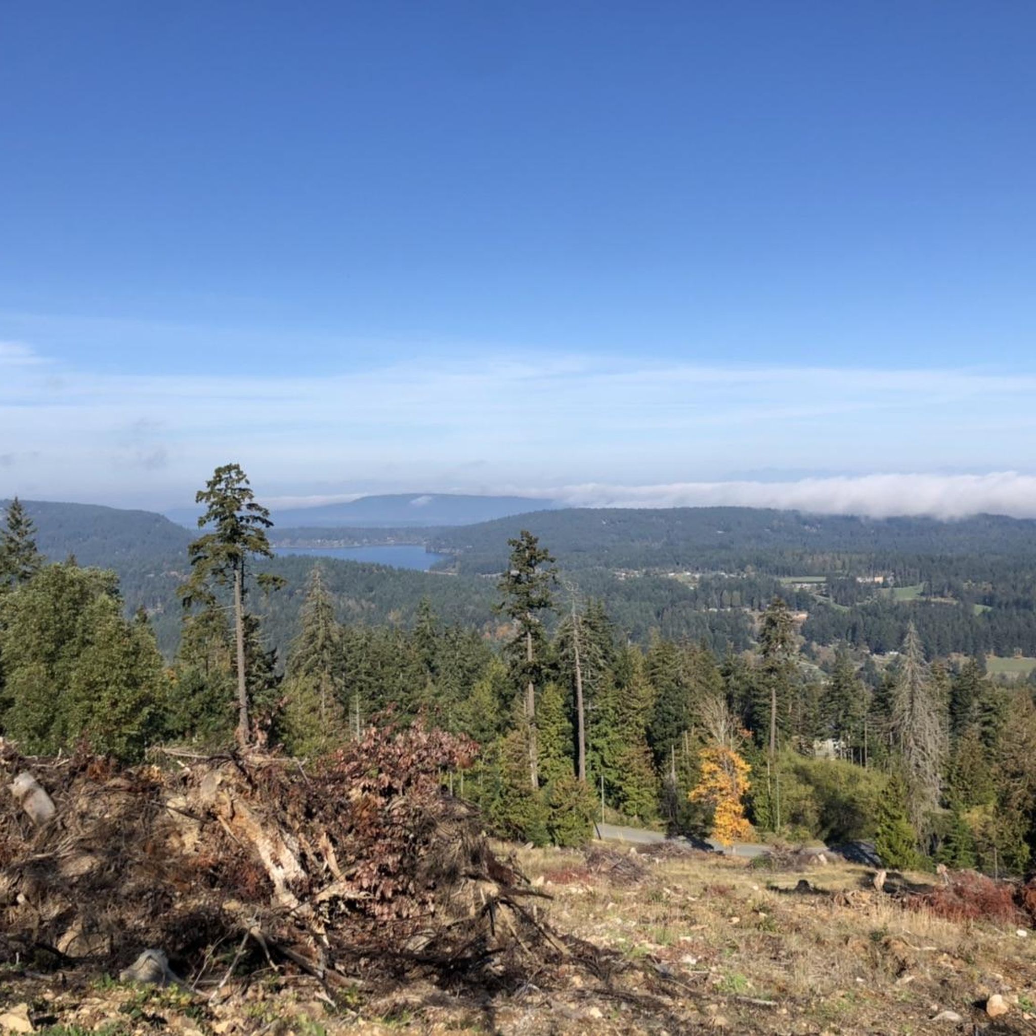
Rising 603 metres above Burgoyne Bay, Baynes Peak, also known as Mount Maxwell, delivers some of the most dramatic, sweeping views on Saltspring Island. While you can drive directly to the top, Mount Maxwell Road's rough, potholed gravel makes a high-clearance four-wheel-drive vehicle a necessity; otherwise, you can park further down and take one of several forest trails that lead up to the summit viewpoints.
0
0
This trail traces the edge of Baynes Peak aka Mount Maxwell, high above Burgoyne Bay. Much of the trail is shaded under thick forest canopy, but there are a few breaks in the trees with views over the water. As you approach the summit you'll also come across a series of viewpoints with wider vistas than you were able to get through the trees.
0
0

Shortest trail (No:1 trail) to the top of Mt Maxwell and especially suitable when it’s hot as it’s mostly under the canopy of the giant trees . Well marked trail . You can also take #4 down and then #5 to rejoin this trail on the way down
0
0
Hike #4 then 8 then 3 to 4 and you are at the top
0
0
Frequently Asked Questions
How many hiking trails are available in Mount Maxwell Ecological Reserve?
Mount Maxwell Ecological Reserve offers a wide selection of hiking opportunities, with over 40 routes available. These range from easy, short paths to more challenging loops, catering to various fitness levels.
What kind of views can I expect while hiking in Mount Maxwell Ecological Reserve?
Hikers are treated to breathtaking panoramic views from various viewpoints, such as Baynes Peak. These vistas encompass the Gulf Islands, Burgoyne Bay, Sansum Narrows, and even distant farmland. At 602 meters, Baynes Peak provides one of the highest vantage points on Salt Spring Island.
Are there any easy trails suitable for beginners or families?
Yes, there are several easy trails. For a gentle introduction, consider the Baynes Peak loop from Mount Maxwell Provincial Park, an easy 3.7 km path. Another accessible option is the Mount Maxwell Provincial Park loop from Mount Maxwell Provincial Park, which is 2.9 km long and also rated easy.
What unique natural features can I observe in the reserve?
The reserve is distinguished by stunning slopes of endangered Garry oak descending to the sea, dense Douglas-fir forests, and rocky outcrops. It's a crucial site for biodiversity, preserving rare ecosystems and home to over 140 species of vascular plants, including the endangered yellow montane violet.
What do other hikers say about their experience in Mount Maxwell Ecological Reserve?
The trails in Mount Maxwell Ecological Reserve are highly regarded by the komoot community, holding an impressive average rating of 4.8 stars from over 60 reviews. Hikers often praise the diverse landscapes, the stunning panoramic views, and the well-maintained paths that wind through unique ecosystems.
Are there any longer or more challenging hikes for experienced trekkers?
For those seeking a more strenuous hike, the Bruce Peak loop from Burgoyne Bay Provincial Park is a moderate 13.4 km trail with significant elevation gain, typically taking around 4 hours 39 minutes to complete. It leads through diverse landscapes and forests.
Can I bring my dog on the trails in Mount Maxwell Ecological Reserve?
While the region research doesn't specify dog regulations for the Ecological Reserve itself, generally, ecological reserves prioritize conservation. It's best to check with local park authorities for specific rules regarding dogs on trails within Mount Maxwell Ecological Reserve to ensure compliance and protect the sensitive ecosystem.
What is the best time of year to visit Mount Maxwell Ecological Reserve for hiking?
The reserve offers unique experiences throughout the year. Spring is ideal for observing wildflowers, including the endangered yellow montane violet. Fall brings vibrant colors to the Garry oak stands. Summer provides clear views, while winter hiking is possible, though conditions may vary. Always check local weather forecasts before your visit.
Are there any circular routes available?
Yes, many of the trails in Mount Maxwell Ecological Reserve are designed as loops. For example, the popular Hiking loop from Burgoyne Bay Provincial Park is a 7.6 km moderate route offering expansive views. Another great option is the Hiking loop from Mount Maxwell Provincial Park, a 5.8 km moderate path suitable for various fitness levels.
What kind of wildlife might I encounter during my hike?
Hikers might spot diverse wildlife such as coastal black-tailed deer, Northern alligator lizards, and a wide array of bird species. Keep an eye out for bald eagles, great blue herons, and turkey vultures soaring overhead. The reserve's unique ecosystems also support rare plant species.
Is public transport available to Mount Maxwell Ecological Reserve?
The region research indicates that public transportation options to Mount Maxwell Provincial Park on Salt Spring Island exist. However, specific routes and schedules to the Ecological Reserve itself would require checking local transit services for the most up-to-date information.
Are there specific parking areas or trailheads for Mount Maxwell Ecological Reserve?
Yes, trails often start from designated parking areas. For instance, some loops originate from Burgoyne Bay Provincial Park, while others begin directly from Mount Maxwell Provincial Park. These parks typically have established parking and trailhead access points.
Most popular routes in Mount Maxwell Ecological Reserve

Get inspired with the komoot mobile app


Explore more
Browse the best Hikes in other regions.
