The best road cycling routes in Cherry Point Aquatic Reserve
4.3
(3)
64
riders
5
rides
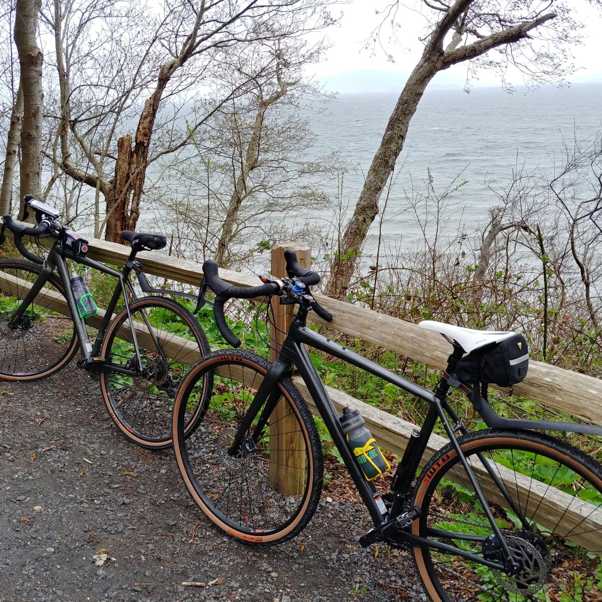
Road cycling routes in Cherry Point Aquatic Reserve are situated within a 3,050-acre coastal environment in Whatcom County, Washington. The area features sandy beaches, cobble intertidal zones, and naturally eroding bluffs that shape its dynamic shoreline. Cyclists can find "carless" paved roads accessible from Gulf Road, offering a tranquil riding experience. The landscape provides varied terrain, from coastal paths to routes with gentle elevation changes, suitable for road cycling.
Best road cycling routes in Cherry Point Aquatic Reserve
- The most…
Last updated: May 20, 2026
12
riders
30.4km
01:27
160m
160m
Moderate road ride. Great for any fitness level. Some segments of this route may be unpaved and difficult to ride.
3.0
(1)
3
riders
21.9km
00:54
80m
80m
Easy road ride. Great for any fitness level. Mostly well-paved surfaces and easy to ride.

Sign up for free
5.0
(1)
3
riders
54.1km
02:23
270m
270m
Moderate road ride. Good fitness required. Mostly well-paved surfaces and easy to ride.
28
riders
46.6km
02:08
220m
220m
Moderate road ride. Good fitness required. Mostly well-paved surfaces and easy to ride.
5.0
(1)
13
riders
59.7km
02:34
320m
330m
Moderate road ride. Good fitness required. Some segments of this route may be unpaved and difficult to ride.
Our route recommendations are based on thousands of hikes, rides, and runs completed by other people on komoot.
Start today with a free account
Your next adventure awaits.
Login or Signup
Popular around Cherry Point Aquatic Reserve
Tips from the Community

Pinch yourself, just a short distance from all that is urban, you'll find this beautiful, secluded cove. Complete with views out to the Canadian Gulf Islands. If you have a license, you can even harvest shellfish in season.
0
0

The Lummi Island overlook has a nice platform with a picnic table. From here you can catch the ferry to head to Portage or Lummi Island, or just enjoy the view of Channel.
0
0
Birch Bay offers a tranquil view with state parks, beaches, and the usual Pacific coast feel. From Birch bay you can spot Canada and Point Roberts.
0
0
Frequently Asked Questions
How many road cycling routes are available in Cherry Point Aquatic Reserve?
There are over 5 road cycling routes available in Cherry Point Aquatic Reserve, catering to various skill levels. These routes offer diverse experiences, from easy coastal loops to more moderate rides with gentle elevation changes.
What kind of terrain can I expect on road cycling routes in Cherry Point Aquatic Reserve?
The terrain in Cherry Point Aquatic Reserve is characterized by a dynamic coastal environment. Cyclists can expect sandy beaches, cobble intertidal zones, and naturally eroding bluffs. The routes often feature paved roads, including unique "carless" sections, and offer picturesque coastal views.
Are there any traffic-free road cycling options in the reserve?
Yes, a key feature for cyclists in Cherry Point Aquatic Reserve is the presence of "carless" paved roads. These roads are accessible from Gulf Road and offer a safe and peaceful riding experience without vehicle traffic, allowing for a tranquil ride through the reserve's natural beauty.
Are there road cycling routes suitable for beginners in the area?
Yes, there are routes suitable for beginners. For example, the Lummi Shore Road to Lummi View Drive loop is an easy 13.6-mile path with minimal elevation gain, offering scenic stretches along the Lummi Peninsula.
Can I find circular road cycling routes in Cherry Point Aquatic Reserve?
Yes, the area offers several circular road cycling routes. Notable loops include those originating from Point Whitehorn Marine Reserve, Ferndale, and Peace Arch Park. The Birch Bay State Park Beach loop from Point Whitehorn Marine Reserve is a popular 18.9-mile option with coastal views.
What are some longer road cycling routes for experienced riders?
For more experienced riders seeking longer distances, routes like the Birch Bay State Park Beach loop from Ferndale cover nearly 37 miles (59.7 km) with moderate elevation. Another option is the Holman Hill – Birch Bay State Park Beach loop from Peace Arch Park, which is 33.6 miles (54.0 km) and leads through coastal areas.
What natural features and wildlife can I observe while cycling?
While cycling, you can observe diverse natural features such as sandy beaches, intertidal zones, and naturally eroding bluffs. The reserve is an important migratory corridor for juvenile salmon and provides critical habitat for numerous marine seabirds and migratory waterfowl. You might also spot diverse fish populations and marine mammals.
Are there any nearby attractions or points of interest to explore after a ride?
Yes, beyond cycling, the adjacent Birch Bay area and Birch Bay State Park offer additional recreational options like hiking and camping. The nearby Lummi Indian Nation Reservation provides opportunities for cultural and historical engagement. You can also engage in water-based recreation like kayaking or paddleboarding, or enjoy birdwatching and tidepooling.
What do other road cyclists enjoy the most about road cycling in Cherry Point Aquatic Reserve?
The area is highly rated by the komoot community, with an average score of 4.3 stars. Reviewers often praise the tranquil riding experience on "carless" roads, the picturesque coastal views, and the variety of routes that cater to different fitness levels.
Is there a good time of year to go road cycling in Cherry Point Aquatic Reserve?
While specific seasonal recommendations are not detailed, the coastal environment suggests that spring, summer, and early autumn would offer the most pleasant conditions for cycling. These seasons typically provide milder weather and better visibility for enjoying the scenic views.
Where can I find more detailed information about the Cherry Point Aquatic Reserve?
For more detailed information about the Cherry Point Aquatic Reserve, including its management plan and ecological significance, you can consult official resources such as the Washington State Department of Natural Resources website. For example, you can find the management plan at wa.gov.
Most popular routes in Cherry Point Aquatic Reserve

Get inspired with the komoot mobile app


Explore more
Browse the best Road cycling routes in other regions.
