The best cycling routes in Surrey Bend Regional Park
4.3
(359)
1,916
riders
46
rides
Touring cycling in Surrey Bend Regional Park offers routes through a diverse Fraser River floodplain ecosystem, characterized by wetlands, riparian forests, and intertidal mudflats. The park's flat topography makes it accessible for cyclists of various skill levels, with an extensive network of multi-use trails. These routes meander alongside the Fraser River and through lush forests and open fields, providing scenic views and opportunities for wildlife observation. The terrain primarily consists of well-maintained gravel or paved surfaces, suitable for touring bicycles.
…Last updated: October 8, 2026
5
riders
Moderate bike ride. Good fitness required. Mostly paved surfaces. Suitable for all skill levels.
5
riders
Easy bike ride. Great for any fitness level. Mostly paved surfaces. Suitable for all skill levels.

5.0
(4)
54
riders
Easy bike ride. Great for any fitness level. Mostly paved surfaces. Suitable for all skill levels.
3.0
(1)
14
riders
25.2km
01:32
160m
160m
Moderate bike ride. Good fitness required. Mostly paved surfaces. Suitable for all skill levels.
3.0
(1)
14
riders
Easy bike ride. Great for any fitness level. Mostly paved surfaces. Suitable for all skill levels.
Get access to more routes and recommendations from other explorers.
Already have an account?
Our route recommendations are based on thousands of hikes, rides, and runs completed by other people on komoot.
Start today with a free account
Your next adventure awaits.
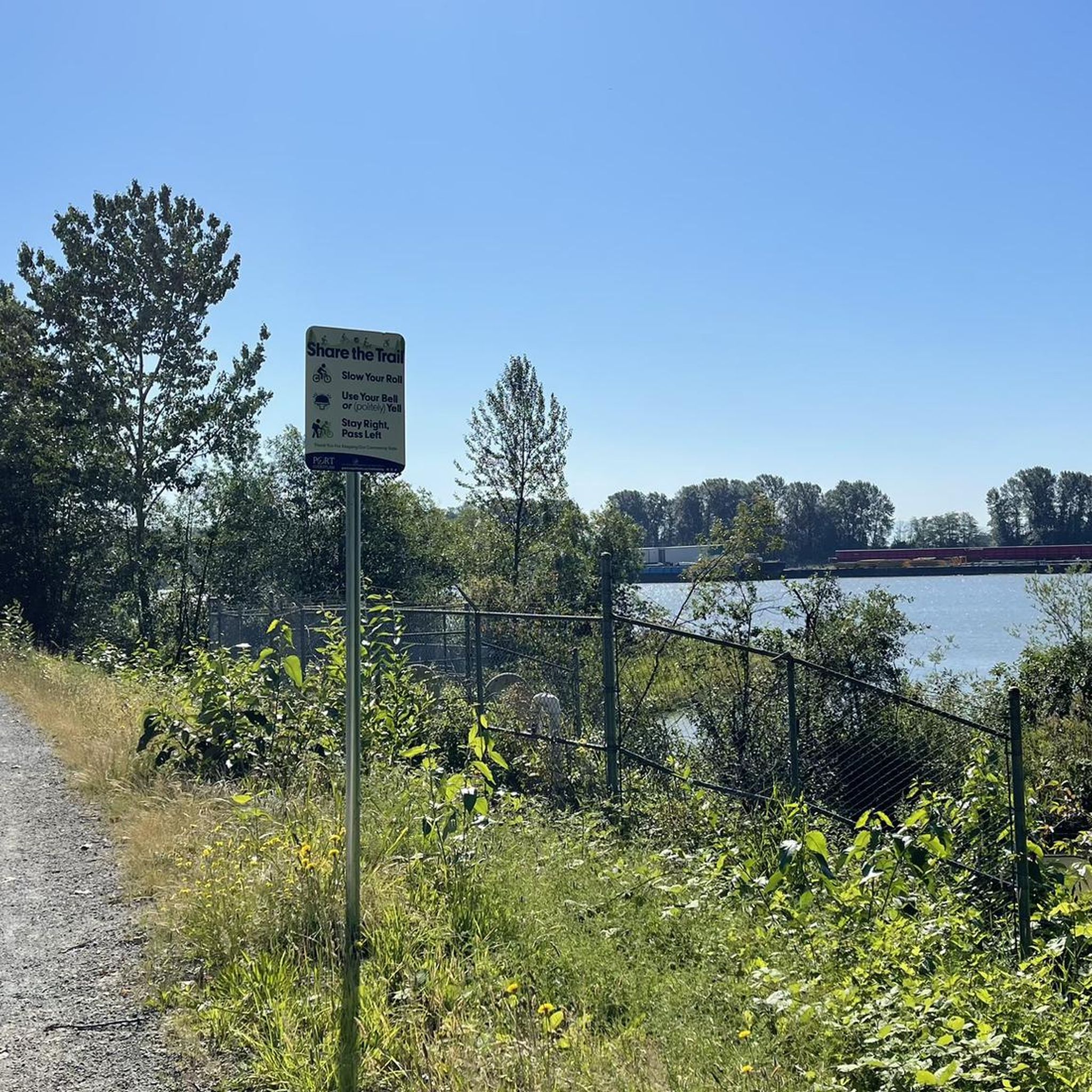
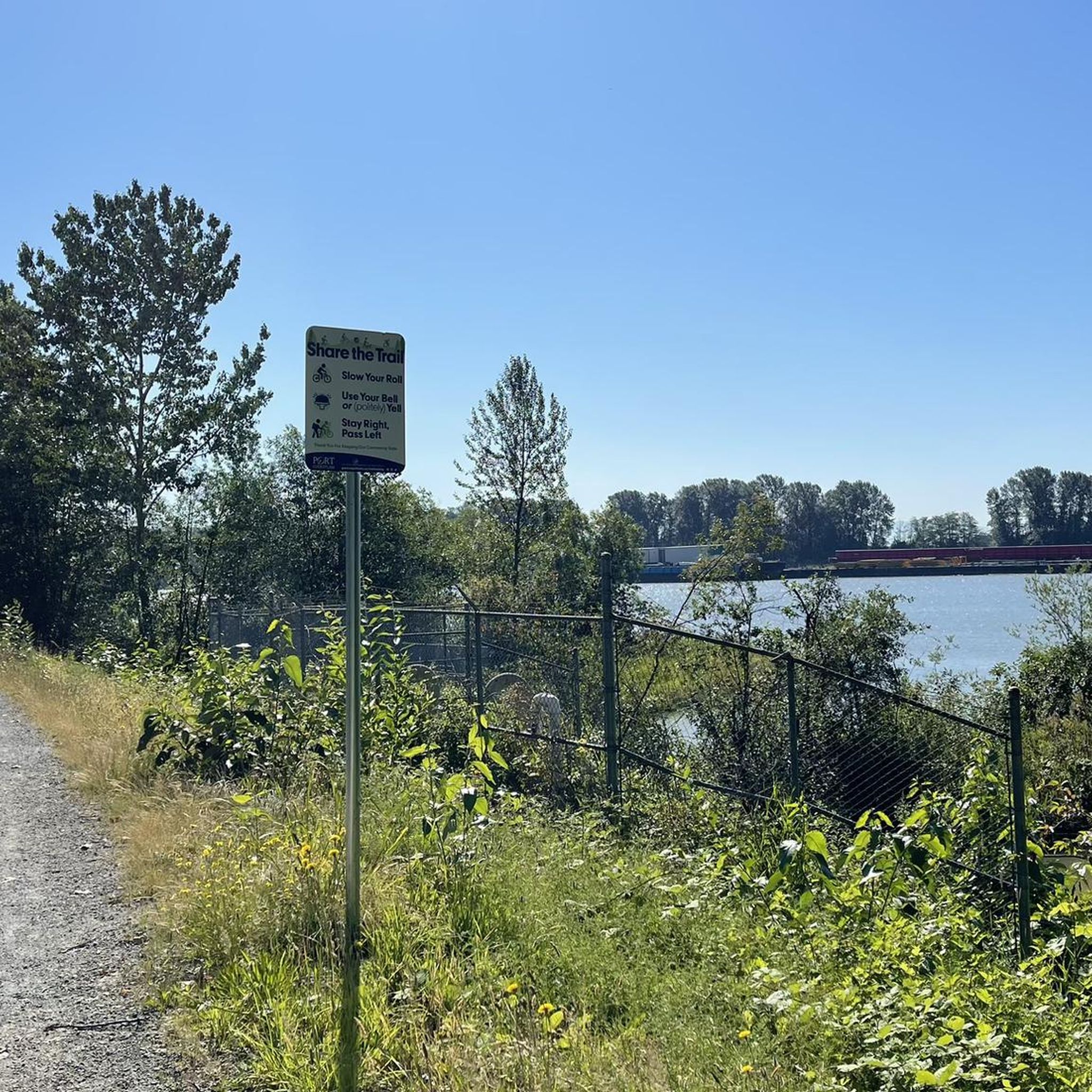
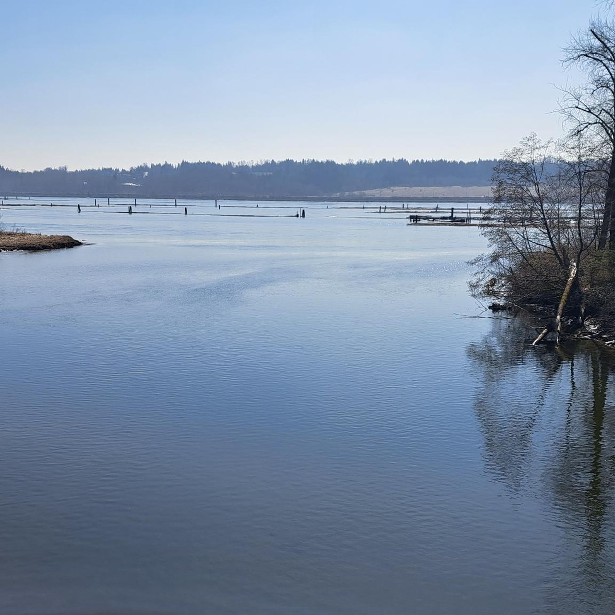

Tips from the Community

The Alouette River was formerly known as the Lillooet River, but the name was changed since there is a larger, more well known river that had the same name. The name Alouette was chosen for the simple reason that it sounds similar to Lillooet, but French speakers will recognize that it means lark.
0
0

Gates Park offers a mix of paved and natural trail sections along the river, with picnic areas, playgrounds, and sports fields, making it a good starting or ending point for a longer riverside walk or ride into ƛ̓éxətəm.
0
0
The view opens onto a slow, meandering river cutting through wide-open farmland — a mix of grassy fields, wetland patches, and hedgerows rather than dense forest crowding the banks.
0
0
This brigde was built through community fundraising efforts led by the Colony Farm Park Association, working in partnership with Metro Vancouver, to give walkers and cyclists a direct river crossing within the park's trail network. It serves as a key junction point: crossing it lets visitors extend a walk into a longer loop, linking the western side of the park near the Community Gardens to the eastern Wilson Farm area, rather than backtracking the way they came.
0
0
The park is very practical for visitors because it has clean public washrooms and a large, free parking lot. You can pack a lunch to enjoy at one of the many shaded picnic tables or check out the local food trucks that often park nearby.
0
0
This paved, multi-use trail traces thee edges of Tynehead Regional Park in a four kilometer loop. You'll find interpretive signage placed along the loop as you make your way around.
0
0

This beautiful river is a major tributary of the Fraser River that flows south from the Garibaldi Ranges, through Pitt Lake, before joining the Fraser River near Port Coquitlam. The lower stretches of the river are tidal, and the surrounding wetlands are home to a rich diversity of wildlife. The river also holds cultural significance for the Kwantlen First Nation, serving as a natural corridor that connects the coastal region with the interior of the province.
0
0

Frequently Asked Questions
How many touring cycling routes are available in Surrey Bend Regional Park?
There are over 50 touring cycling routes available in Surrey Bend Regional Park, catering to various skill levels. You'll find options ranging from easy, leisurely rides to more challenging excursions.
What kind of terrain can I expect on the touring cycling trails in Surrey Bend Regional Park?
The park features predominantly flat terrain, making it accessible for cyclists of all ages and fitness levels. The trails are generally well-maintained, consisting of gravel or paved surfaces, which are ideal for touring bicycles. You'll cycle through diverse landscapes including floodplain forests, wetlands, and along the Fraser River.
Are there any family-friendly touring cycling routes in Surrey Bend Regional Park?
Yes, the flat topography and multi-use trails make Surrey Bend Regional Park very suitable for families. Many of the routes are considered easy, such as the Michael Forrest River Walkway loop from Mary Hill, which offers scenic riverfront experiences through varied natural habitats. The park also features a Nature Discovery Area with elements like a climbing stump and sand play area, perfect for children.
What natural features and viewpoints can I see while cycling in the park?
Cyclists can enjoy scenic viewpoints along the Fraser River and Parsons Channel, offering picturesque riverfront experiences. The park is rich in diverse habitats, including tidal freshwater marshes, floodplain swamps, and riparian forests. Keep an eye out for wildlife, as the park is known for its birdwatching opportunities and native species like beavers and river otters.
Are there any longer or more challenging touring cycling routes that connect to the park?
Yes, some routes within or connected to Surrey Bend Regional Park offer longer distances and moderate difficulty. For example, the Pitt River Bridge – Pitt River Dike Trail loop from Fraser Heights is a moderate 30-mile (48.3 km) trail that connects to regional cycling networks and provides extensive views along the Pitt River.
What do other touring cyclists say about their experience in Surrey Bend Regional Park?
The touring cycling routes in Surrey Bend Regional Park are highly rated by the komoot community, with an average score of 4.3 stars from over 290 reviews. Cyclists often praise the park's accessible flat trails, scenic river views, and the opportunity to observe diverse wildlife and natural habitats.
Is Surrey Bend Regional Park suitable for dog owners who want to cycle?
Surrey Bend Regional Park is generally dog-friendly, with multi-use trails where dogs are permitted on leash. It's a great place to enjoy a ride with your canine companion, provided you follow park regulations regarding pets to ensure a pleasant experience for all visitors and protect the park's wildlife.
Are there any circular touring cycling routes in the park?
Yes, many of the touring cycling routes in Surrey Bend Regional Park are designed as loops, allowing you to start and end at the same point. Examples include the Michael Forrest River Walkway loop from Mary Hill and the Fraser Ht Greenway – Tynehead Pedestrian Overpass loop from Guildford, which offers diverse scenery.
What are the best times of year to go touring cycling in Surrey Bend Regional Park?
Surrey Bend Regional Park is enjoyable for touring cycling throughout much of the year. Spring and fall offer pleasant temperatures and vibrant natural scenery, with migratory birds often present. Summer is also popular, though it can be warmer. Winter cycling is possible, but conditions may vary depending on weather, with some trails potentially being wet or muddy.
Are there picnic facilities available along the cycling routes?
Yes, Surrey Bend Regional Park offers picnic facilities, including shelters, some of which can accommodate large groups. These are conveniently located within the park, providing ideal spots for a break and a meal during your touring cycling adventure.
How can I access Surrey Bend Regional Park by public transport for cycling?
While specific public transport connections directly to all trailheads can vary, TransLink serves the Surrey area. It's advisable to check TransLink's official website for the most current bus routes and schedules that connect to the vicinity of Surrey Bend Regional Park, keeping in mind that bringing a bicycle on public transport may have restrictions during peak hours.
Are there any amenities like cafes or pubs near the cycling trails?
While Surrey Bend Regional Park itself is a natural escape, there are routes that pass by or are close to local establishments. For instance, the Gillnetter Pub – Taylight Brewing loop from Mayfair suggests that nearby amenities are accessible, offering options for refreshments after your ride. You might also find options in the surrounding communities like Port Coquitlam, as seen with the Tinhouse Brewing loop from Port Coquitlam.
Most popular routes in Surrey Bend Regional Park

Get inspired with the komoot mobile app


Explore more
Browse the best Cycling routes in other regions.
