The best walks and hikes in Blackcomb Glacier Provincial Park
4.5
(615)
5,728
hikers
102
hikes
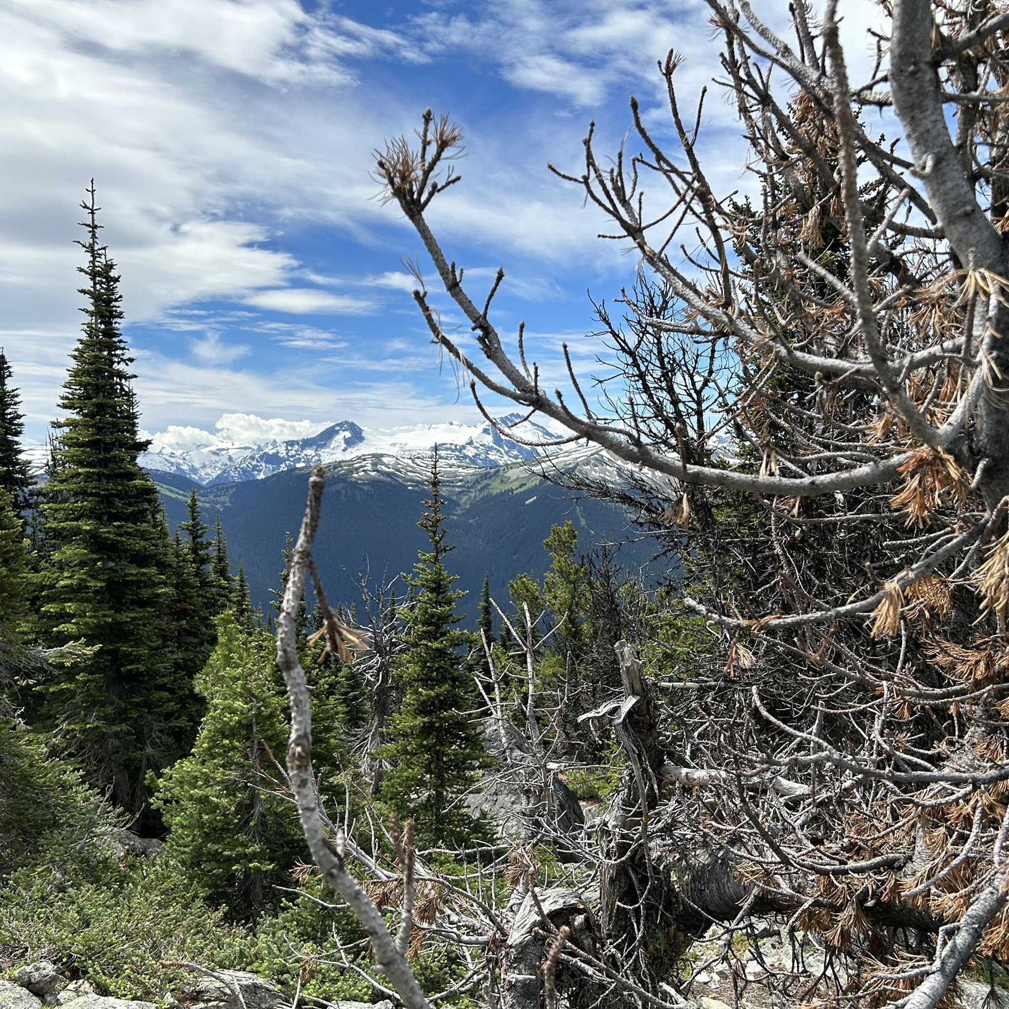
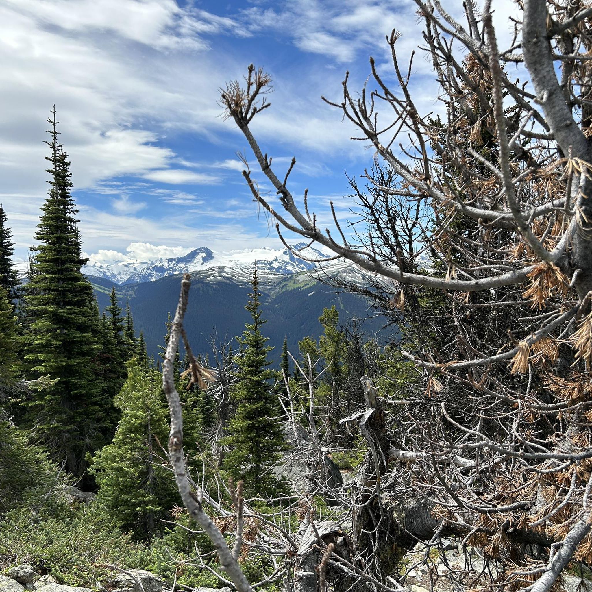
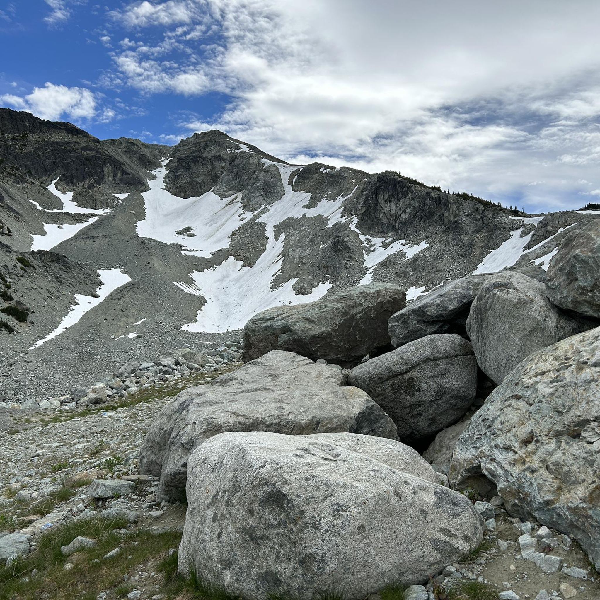
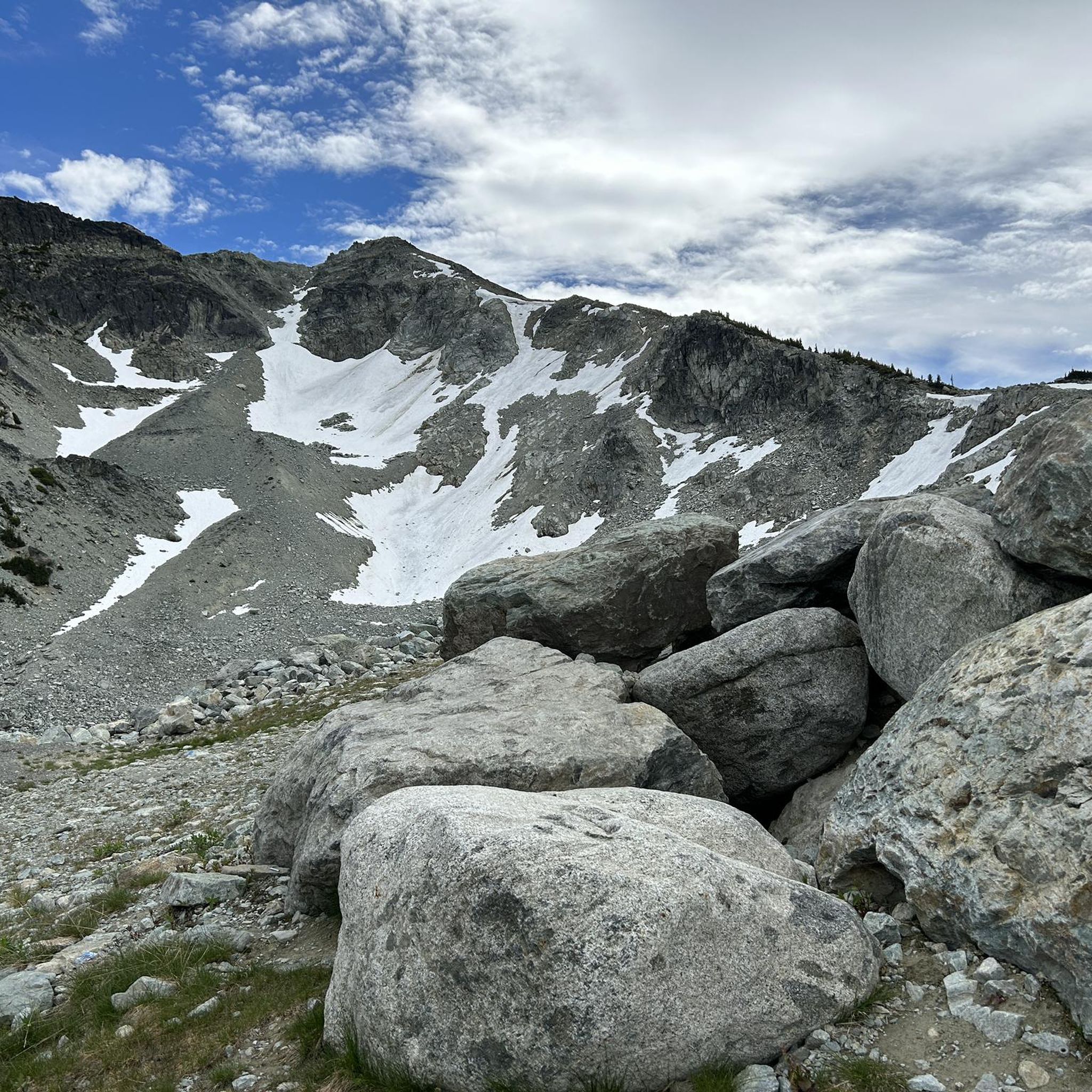
Hiking in Blackcomb Glacier Provincial Park offers access to high-elevation alpine landscapes dominated by the Blackcomb Glacier. The terrain features rocky and barren areas, ancient ice formations, and expansive views of the Coast Mountains. Lower elevations transition into subalpine forests of mountain hemlock, yellow cedar, and amabilis fir. Hikers can expect to encounter wildflower meadows, clear lakes, and views of surrounding glaciers and peaks.
Best hiking trails in Blackcomb Glacier Provincial Park
- The most popular hiking route is Blackcomb Peak Viewpoint – Peak 2 Peak Gondola loop from Rendezvous, a 6.2 miles (10.0 km) trail that takes 3 hours 57 minutes to complete. This route provides extensive alpine views and connects via the Peak 2 Peak Gondola.
- Another top favourite among local hikers is Lost Lake Beach – Fitzsimmons Creek Bridge loop from Whistler, a moderate 5.6 miles (9.1 km) path. This trail winds through forested areas around Lost Lake, offering a mix of natural scenery and lakeside access.
- Local hikers also love the Blackcomb Peak Viewpoint loop from Rendezvous, a 1.2 miles (1.9 km) trail leading through high alpine terrain, often completed in about 34 minutes.
- Hiking in Blackcomb Glacier Provincial Park is defined by dramatic glaciers, high alpine meadows, and subalpine forests. The network offers options for different ability levels, from easy loops to challenging high-elevation ascents.
- The routes in Blackcomb Glacier Provincial Park are highly rated by the komoot community with an average score of 4.5 stars from over 500 reviews. More than 4000 hikers have used komoot to explore Blackcomb Glacier Provincial Park's varied terrain.
Last updated: October 11, 2026
4.8
(26)
302
hikers
9.98km
03:57
420m
410m
Hard hike. Good fitness required. Sure-footedness, sturdy shoes and alpine experience required.
4.8
(5)
121
hikers
1.86km
00:35
70m
70m
Easy hike. Great for any fitness level. Easily-accessible paths. Suitable for all skill levels.

4.6
(14)
77
hikers
9.10km
02:27
120m
120m
Moderate hike. Good fitness required. Easily-accessible paths. Suitable for all skill levels.
4.5
(2)
50
hikers
3.00km
00:48
40m
40m
Easy hike. Great for any fitness level. Easily-accessible paths. Suitable for all skill levels.
5.0
(1)
12
hikers
Easy hike. Great for any fitness level. Easily-accessible paths. Suitable for all skill levels.
Get access to more routes and recommendations from other explorers.
Already have an account?
Our route recommendations are based on thousands of hikes, rides, and runs completed by other people on komoot.
Start today with a free account
Your next adventure awaits.
Tips from the Community

Lost Lake Beach is part of Lost Lake Park, with a sandy beach bordered by a grassy lawn. Swimming is allowed, but it will be refreshing! Other amenities the park has to offer include picnic areas, BBQs, and restrooms as well as a parking area.
1
0

Tucked in the forest just outside Whistler Village, Lost Lake is a beautiful, quiet spot surrounded by tall evergreens and mountain views. It’s a popular spot for swimming and paddleboarding in summer, with trails around its perimeter perfect for hiking and biking. In winter, the area transforms into a snowy network of cross-country ski and snowshoe trails, offering a quiet escape just minutes from town.
1
0


The 2007 mural by Chili Thom & Stan Matwychuk covers both sides of the Lorimer Bridge underpass. It depicts the sun shining through the clouds in Whistler during all four seasons. The mural is part of Whistler's public art collection, established in 1996. Source: https://www.whistler.ca/parks-recreation-culture/arts-and-culture/public-art/collection/lorimer-bridge-mural/
2
0
The Lost Lake PassivHaus is the first passive house in Canada. It is located at the main entrance of Lost Lake Park. The building was initially used as accommodation for the Austrian Olympic Committee and Austrian Broadcasting, which broadcasted live to Austrian audiences during the 2010 Winter Olympics. After the Games, the Austrian Passive House Group donated it to the Municipality of Whistler. The building now serves as a day lodge, office and meeting space for the Whistler Off-road Cycling Association (WORCA) and Whistler Nordics, as well as a cross-country ski and mountain bike rental shop and a café. Source: https://www.passivehousecanada.com/projects/lost-lake-passive-house/
3
0
The 2009 sculpture by Sesiyám Ray Natraoro, Squamish Nation & Bansht Delmar Williams, Squamish and Lil’wat Nation, pays homage to the cultural exchange that took place during the 2010 Winter Olympic and Paralympic Games. The sculpture is part of Whistler's public art collection, established in 1996. Source: https://www.whistler.ca/parks-recreation-culture/arts-and-culture/public-art/collection/olympic-lightning-figure/
3
0
Construction of the private Pacific Great Eastern (PGE) Railway from Vancouver to Prince George in northern British Columbia began in 1912 and was not completed until 1952. In October 1914, Alta Lake was connected to the railway. At that time, the tracks were used not only by trains, especially for freight transport, but also by pedestrians or other means of transportation to get from Alta Lake to Squamish or Vancouver. https://whistlermuseum.org/2023/06/13/when-the-railway-came-to-whistler/ In 1918, PGE was nationalized and transferred to the ownership of the Province of British Columbia. Since 1984, the line has been known as BC Rail. In 2002, BC Rail discontinued all passenger service to Whistler and sold the line to Canadian National (CN) Rail one year later. The railroad also discontinued regular freight service. Since 2022, the “luxurious” Rocky Mountaineer train has been running once a week between Vancouver and Jasper and back from April to October, with stops in Whistler and Quesnel. https://www.rockymountaineer.com/train-routes/rainforest-gold-rush
2
0
A few hundred meters before its confluence with Green Lake, the Old Mill Road crosses Fitzsimmons Creek on an unspectacular paved bridge. The tourist-friendly covered bridge over the creek is located on the trail between Whistler Village and Upper Village.
2
1
Frequently Asked Questions
How many hiking trails are available in Blackcomb Glacier Provincial Park?
Blackcomb Glacier Provincial Park offers a wide range of hiking opportunities, with over 100 routes to explore. These trails cater to various skill levels, from easy walks to challenging alpine ascents.
What kind of terrain can I expect when hiking in Blackcomb Glacier Provincial Park?
The park is characterized by high-elevation alpine landscapes, dominated by the Blackcomb Glacier. You'll encounter rocky and barren areas, ancient ice formations, and expansive views of the Coast Mountains. At lower elevations and in subalpine zones, the terrain transitions into forests of mountain hemlock, yellow cedar, and amabilis fir, alongside vibrant wildflower meadows and clear lakes.
Are there any easy hiking trails suitable for beginners or families?
Yes, there are many easy trails perfect for beginners or families. For instance, the Blackcomb Peak Viewpoint loop from Rendezvous is a short 1.2-mile (1.9 km) trail through high alpine terrain. Another great option is the Lost Lake – Lost Lake Beach loop from Whistler, which is an easy 2-mile (3.2 km) path around the scenic Lost Lake.
What are some challenging hikes for experienced adventurers in the park?
For experienced hikers seeking a challenge, the park offers demanding routes like the Blackcomb Peak Viewpoint – Peak 2 Peak Gondola loop from Rendezvous. This 6.2-mile (10.0 km) trail features significant elevation gain and provides extensive alpine views. The Spearhead Traverse, a 40 km point-to-point trail, is also known for its difficulty and strenuous nature, passing beneath major peaks.
Are there any trails that offer spectacular views of glaciers or peaks?
Absolutely. Many trails provide breathtaking views of glaciers and peaks. The Blackcomb Peak Viewpoint – Peak 2 Peak Gondola loop from Rendezvous offers panoramic alpine vistas. The Decker Loop is particularly renowned as a world-class alpine trail, providing incredible views of ancient mountain peaks, the Overlord Glacier, and Decker Tarn.
Can I find circular hiking routes in Blackcomb Glacier Provincial Park?
Yes, Blackcomb Glacier Provincial Park features several excellent circular hiking routes. Popular options include the Lost Lake Beach – Fitzsimmons Creek Bridge loop from Whistler and the Lost Lake Beach – Elephant Bridge loop from Whistler, both winding through forested areas around Lost Lake. The Decker Loop is another notable circular trail in the alpine.
Is Blackcomb Glacier Provincial Park suitable for families with children?
Yes, the park is suitable for families, especially with its range of easy to moderate trails. The Lost Lake area, for example, offers gentle loops like the Lost Lake – Lost Lake Beach loop from Whistler, which are perfect for families. Lost Lake itself is a popular spot for swimming and paddleboarding in summer, adding to the family-friendly appeal.
What is the best time of year to go hiking in Blackcomb Glacier Provincial Park?
The best time for hiking in Blackcomb Glacier Provincial Park is generally during the summer months. This is when the trails are most accessible, wildflowers are in bloom, and the weather is favorable for exploring the alpine and subalpine regions. The Whistler Blackcomb resort facilitates summer access to the park's hiking trails.
How do I access Blackcomb Glacier Provincial Park for hiking?
Access to Blackcomb Glacier Provincial Park is primarily facilitated by the Whistler Blackcomb resort. In summer, visitors can reach the park through the resort development. The PEAK 2 PEAK Gondola connects Whistler and Blackcomb Mountains, providing convenient access to Blackcomb for summer hiking and its extensive trail network.
Are there any notable lakes or natural features to explore?
The park and its surroundings are rich in natural beauty. Hikers can discover crystal-clear lakes such as Decker Tarn, a glacial alpine lake, and Iceberg Lake, nestled under the Rainbow Glacier. Lost Lake is another popular spot, offering trails around its perimeter and opportunities for swimming and paddleboarding. The Blackcomb Glacier itself and Blackcomb Peak are dominant natural features.
What do other hikers say about their experience in Blackcomb Glacier Provincial Park?
The hiking routes in Blackcomb Glacier Provincial Park are highly rated by the komoot community, with an average score of 4.5 stars from over 500 reviews. Hikers often praise the dramatic glaciers, high alpine meadows, and the diverse options available for different ability levels, from easy loops to challenging high-elevation ascents.
What facilities are available near the hiking areas?
While Blackcomb Glacier Provincial Park itself has no facilities, the adjacent Whistler Blackcomb resort provides extensive infrastructure. This includes amenities like cafes, restaurants, and accommodation options, enhancing the overall experience for visitors accessing the alpine wilderness.
Most popular routes in Blackcomb Glacier Provincial Park

Get inspired with the komoot mobile app


Explore more
Browse the best Hikes in other regions.
