The best road cycling routes in Garibaldi Provincial Park
182
riders
9
rides
Road cycling in Garibaldi Provincial Park offers routes through British Columbia's Coast Mountains, characterized by diverse terrain. The park features volcanic formations, numerous alpine lakes, and extensive forests, transitioning to subalpine meadows at higher elevations. While some routes are on paved sections in surrounding areas, many within the park utilize dirt and gravel roads. The landscape includes prominent peaks and glaciers, providing a challenging yet scenic environment for road cyclists.
Best road cycling routes in Garibaldi Provincial Park
- The most…
Last updated: October 14, 2026
33
riders
20.6km
00:55
150m
150m
Easy road ride. Great for any fitness level. Mostly well-paved surfaces and easy to ride.
28
riders
25.5km
01:28
300m
300m
Moderate road ride. Good fitness required. Some segments of this route may be unpaved and difficult to ride.

12
riders
23.2km
01:07
230m
230m
Easy road ride. Great for any fitness level. Mostly well-paved surfaces and easy to ride.
11
riders
Easy road ride. Great for any fitness level. Mostly well-paved surfaces and easy to ride.
11
riders
16.4km
00:47
150m
150m
Easy road ride. Great for any fitness level. Mostly well-paved surfaces and easy to ride.
Get access to more routes and recommendations from other explorers.
Already have an account?
Our route recommendations are based on thousands of hikes, rides, and runs completed by other people on komoot.
Start today with a free account
Your next adventure awaits.

Other adventures in Garibaldi Provincial Park

Tips from the Community

The Squamish Cenotaph in British Columbia, located at 1361 Main Street, honors locals who served in the First and Second World Wars, with an added plaque for those who fought in Korea. It’s the centerpiece of the town’s Remembrance Day ceremony and a quiet spot year-round to reflect on the community’s history and sacrifices.
0
0

Lakeside Park is located on the southeast shore of Alta Lake. During the summer months, the beach is used for swimming. https://www.whistler.ca/parks-recreation-culture/parks/lakeside-park/
2
0
Alta Lake was formed by glacial retreat and subsequent sediment deposition, creating depressions that filled with meltwater. Alta Lake and other nearby lakes, such as Green Lake, are part of a large watershed whose waters flow north to the Lillooet River and south to the Cheakamus River. Historically, water flowed both north and south from Alta Lake, which lies at the top of the pass. This natural dual drainage system of the lake ended with the arrival of settlers. https://fireandicegeoregion.ca/geosite/whistler-valley-lakes-and-watershed-divide/
2
0
Green Lake is the largest lake in the Whistler region. To the north, it is the source of the Green River, which drains into the Lillooet River. Green Lake was formed during the last Ice Age, when sediment was deposited in the U-shaped valley, forming lake basins. The lake's green color is due to the glacial silt of Fitzsimmons Creek. From the wooden boardwalk on the southwest shore, we have a magnificent view of the lake and the seaplane landing. In the background, we can see the peaks of the Garibaldi Range, from Wedge Mountain to Mount Currie, including Mount Weart with the Armchair Glacier. https://www.piquenewsmagazine.com/local-news/naturespeak-awesome-geology-sites-around-whistlergreen-lake-part-2-7576124
2
0
The Lost Lake PassivHaus is the first passive house in Canada. It is located at the main entrance of Lost Lake Park. The building was initially used as accommodation for the Austrian Olympic Committee and Austrian Broadcasting, which broadcasted live to Austrian audiences during the 2010 Winter Olympics. After the Games, the Austrian Passive House Group donated it to the Municipality of Whistler. The building now serves as a day lodge, office and meeting space for the Whistler Off-road Cycling Association (WORCA) and Whistler Nordics, as well as a cross-country ski and mountain bike rental shop and a café. Source: https://www.passivehousecanada.com/projects/lost-lake-passive-house/
3
0
Sightlines, the 1998 bronze sculptures and stainless-steel handrails by Kip Jones and Jennifer Macklem, are located on the bridge in Village Park at the Village Stroll. The sculptures are part of Whistler's public art collection, established in 1996. Sources: https://www.whistler.ca/parks-recreation-culture/arts-and-culture/public-art/collection/sightlines/ https://depts.washington.edu/canada/cca/coll.htm
2
0
The Village Stroll is a pedestrian-only area that runs through Whistler Village, connecting shops, restaurants, and attractions, including the cable cars that travel up to Whistler Mountain and Blackcomb Peak. The development planning for Whistler Village dates to the 1970s; the implementation and construction of the village took place in the 1980s. Details of the events at that time can be found on the Whistler Museum website: https://whistlermuseum.org/tag/village-stroll/
2
0
The Nature Trail begins at the Lost Lake PassivHaus. It runs parallel to the Lost Lake Trail to the lake and further on along the western shore of Lost Lake. The trail is accessible to walkers/hikers only. https://www.vancouvertrails.com/trails/lost-lake-nature-trail/
2
0
Frequently Asked Questions
How many road cycling routes are available in Garibaldi Provincial Park?
There are over 15 road cycling routes available in Garibaldi Provincial Park, offering a range of experiences from moderate loops to more challenging climbs. The komoot community has explored 19 routes in total within the park.
What is the typical terrain like for road cycling in Garibaldi Provincial Park?
Road cycling in Garibaldi Provincial Park often involves a mix of terrain. While some routes in surrounding areas feature paved sections, many within the park utilize dirt and gravel roads. You'll encounter hard-packed road beds, loose gravel, and earthy loam, especially in areas like the Garibaldi Highlands.
Are there road cycling routes suitable for families or beginners?
Yes, there are routes suitable for various skill levels. While the park is known for its challenging environment, there are 7 routes classified as easy, and 12 as moderate, which can be more approachable for families or beginners. For example, the Green Lake – Lost Lake Nature Trail loop from Whistler is a moderate 12.8-mile trail that leads through forested areas and past lakes.
When is the best time of year for road cycling in Garibaldi Provincial Park?
The summer months are generally the best time for road cycling in Garibaldi Provincial Park, when the subalpine and alpine meadows burst with wildflowers. The weather is typically more favorable, and routes are less likely to be affected by snow or ice, which can be present at higher elevations during other seasons.
Can I find circular road cycling routes in the park?
Yes, many of the road cycling routes in Garibaldi Provincial Park are designed as loops. For instance, the Green Lake docks loop from Whistler and the Larry's Viewpoint – Alta Lake Park loop from Pinecrest are popular circular routes that allow you to start and end at the same point.
What natural attractions can I see while road cycling in Garibaldi Provincial Park?
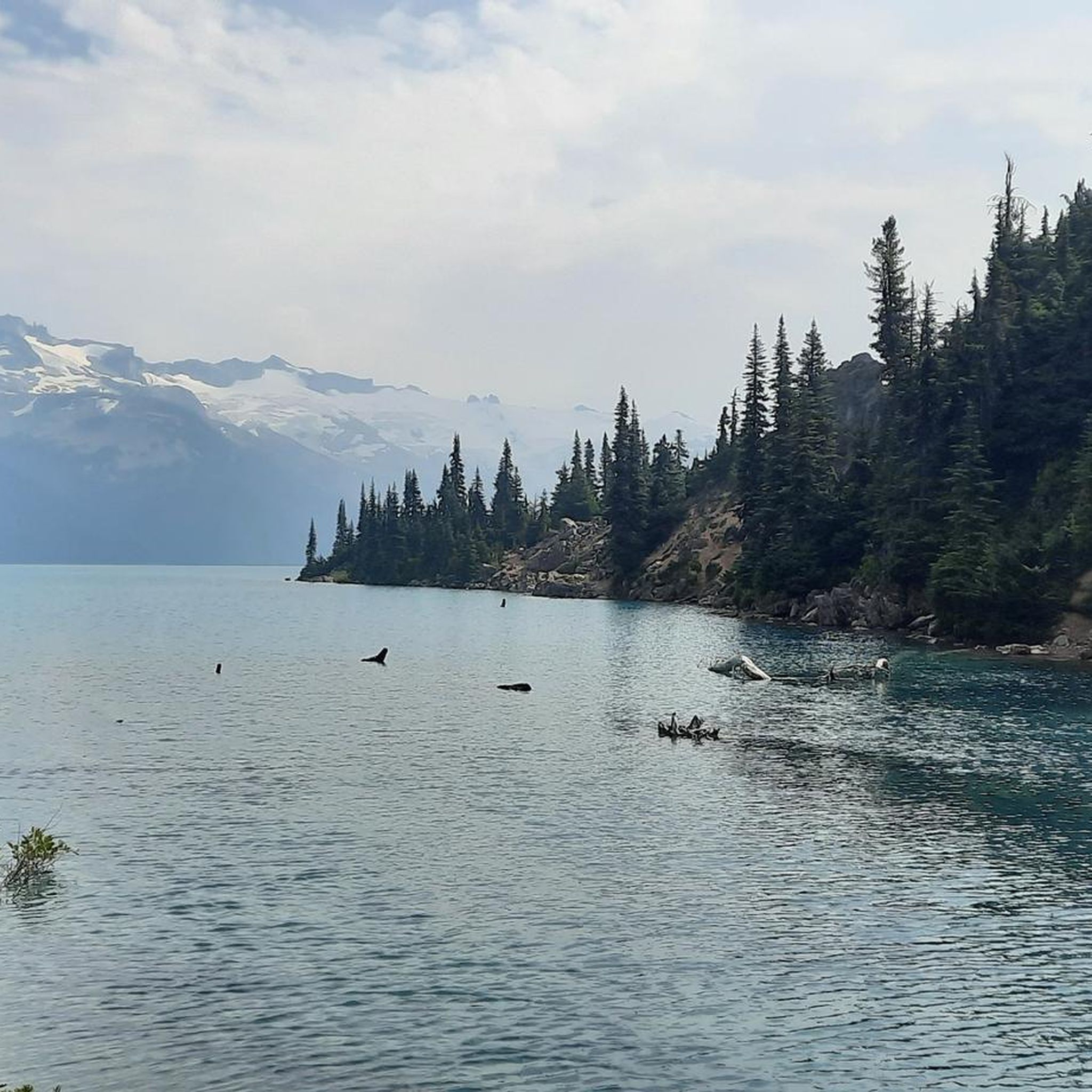
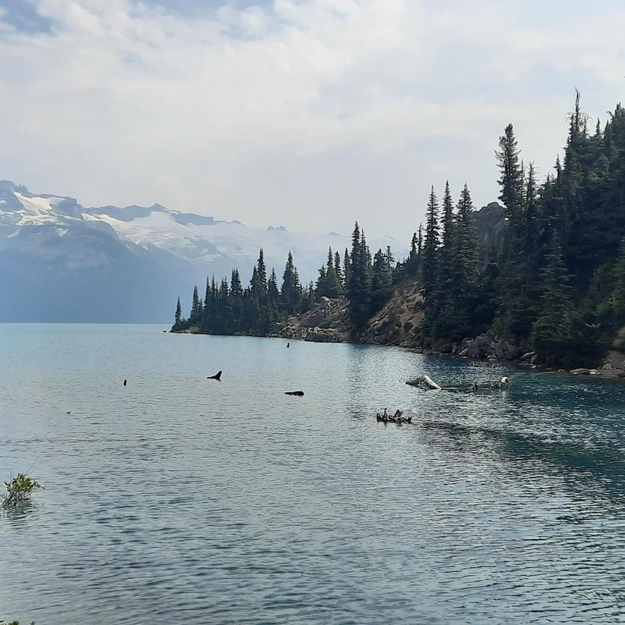
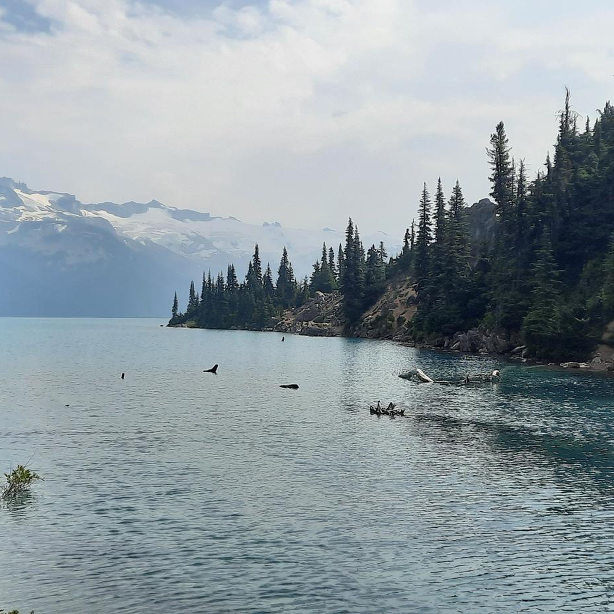
Garibaldi Provincial Park offers stunning natural attractions. You can encounter breathtaking alpine lakes like Garibaldi Lake, Elfin Lakes, and Barrier Lake. The park is also known for its dramatic volcanic formations, including the iconic Black Tusk and Mount Garibaldi, which provide a spectacular backdrop to your ride.
Are there any notable viewpoints along the road cycling routes?
Yes, the park's rugged landscape offers numerous rewarding viewpoints. Routes like the Larry's Viewpoint – Alta Lake Park loop from Pinecrest are specifically highlighted for their scenic vistas. You can also find panoramic views of Garibaldi Lake and the Battleship Islands, which are popular spots for cyclists to pause and take in the scenery.
Is parking available for road cyclists in Garibaldi Provincial Park?
Parking is available at key access points to the park's cycling routes. For example, cyclists can access the route to Elfin Lakes from the Diamond Head parking lot, and the Cheakamus Lake trail from the Cheakamus Lake parking lot. It's advisable to check specific trailhead information for parking availability and regulations.
Do I need a permit to road cycle in Garibaldi Provincial Park?
While general access to Garibaldi Provincial Park does not typically require a permit for day use, it's always best to check the official BC Parks website for the most current regulations, especially if you plan to access specific areas or facilities. Some areas, like Elfin Lakes, may have specific requirements or reservations needed for overnight stays.
What do other road cyclists enjoy most about the routes in Garibaldi Provincial Park?
The komoot community highly rates the road cycling experience in Garibaldi Provincial Park, with an average score of 4.5 stars. Reviewers often praise the stunning natural beauty, including the pristine alpine lakes and dramatic volcanic peaks, as well as the diverse terrain that offers both challenging climbs and scenic rides.
Are there any challenging road cycling routes for experienced riders?
Yes, experienced riders will find challenging routes in Garibaldi Provincial Park. The park's mountainous terrain means many routes feature significant elevation gain. For example, the Tantalus Lookout loop from Garibaldi Highlands is a moderate route with over 870 meters of elevation gain, providing a good test for seasoned cyclists.
Can I road cycle to Elfin Lakes or Cheakamus Lake?
Yes, specific designated cycling routes allow access to these areas. You can ride from the Diamond Head parking lot to the Elfin Lakes shelter, an 11 km dirt/gravel road with a moderate uphill climb. Another designated route extends from the Cheakamus Lake parking lot to Singing Creek, offering a dirt surface ride.
Are there any road cycling routes that pass by Nita Lake?
Yes, there is a popular route that loops around Nita Lake. The Nita Lake loop from Whistler is a moderate 26 km route that takes you around the lake, offering scenic views and a pleasant ride.
Most popular routes in Garibaldi Provincial Park
Most popular attractions in Garibaldi Provincial Park

Get inspired with the komoot mobile app


Explore more
Browse the best Road cycling routes in other regions.
