The best running trails in Brohm Lake Interpretive Forest Trails
4.1
(8)
601
runners
35
runs
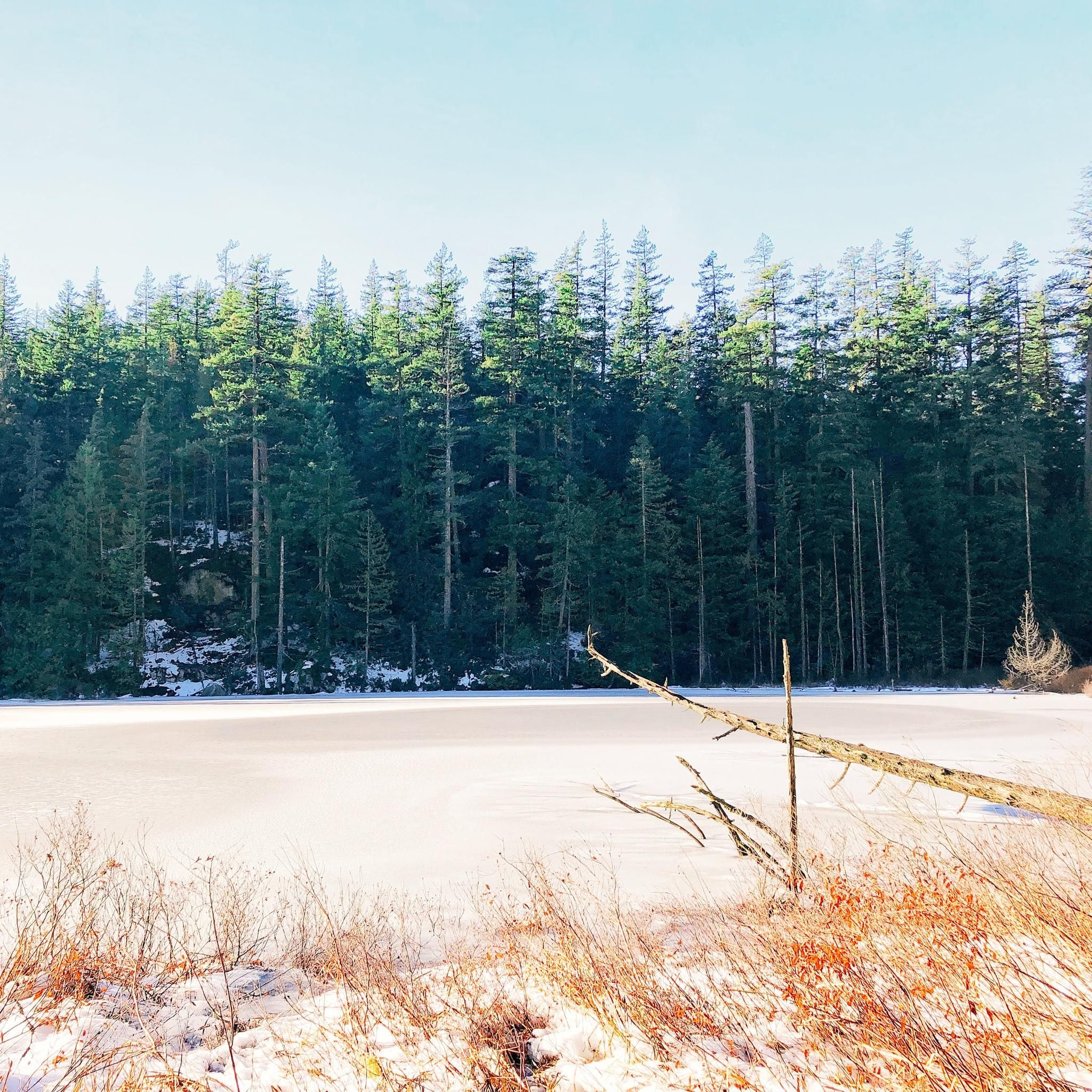
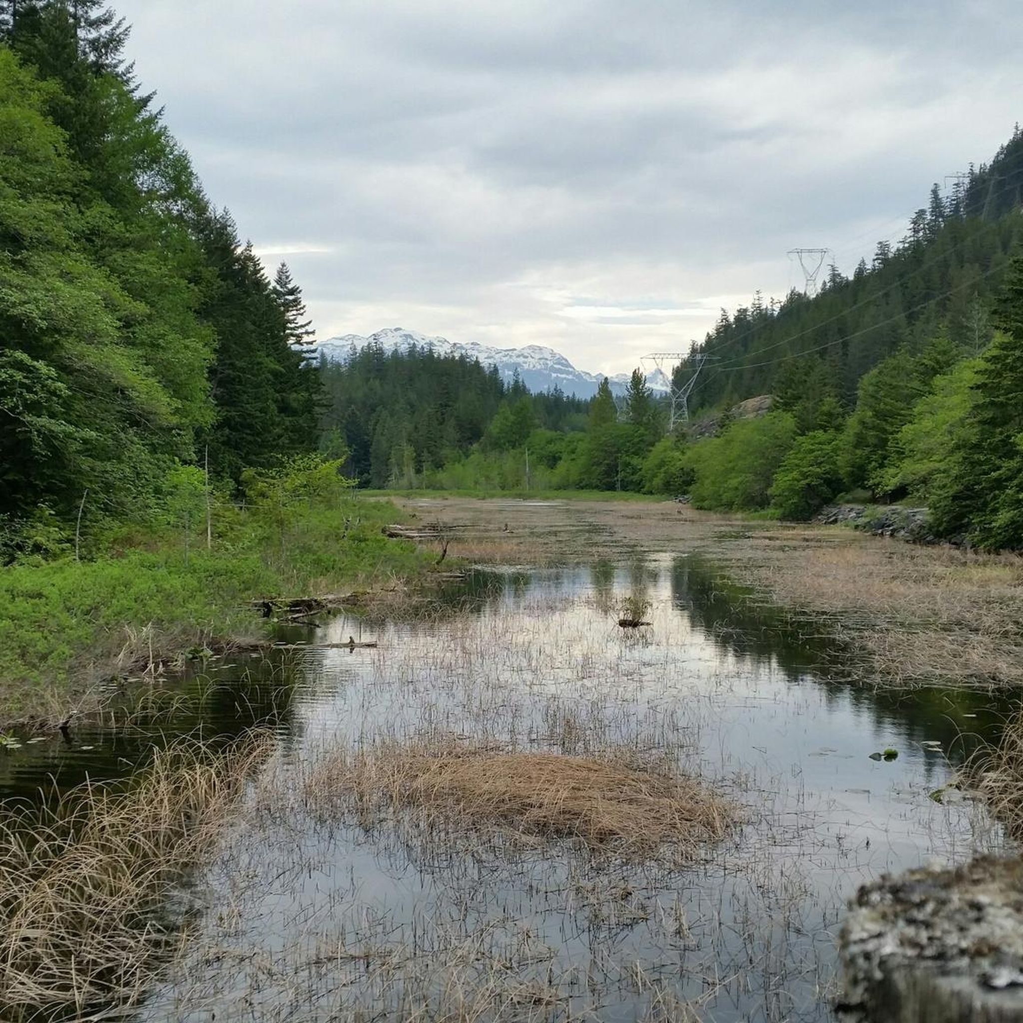
Jogging in Brohm Lake Interpretive Forest Trails offers access to diverse landscapes, including lush forested trails with dense woodlands of western red cedar and Douglas fir. The area features Brohm Lake, rocky bluffs, and granite boulders, with occasional views of the Squamish Valley and Tantalus Mountain Range. The terrain includes varied singletrack paths, sections of old logging roads, and features like wooden bridges and steps.
Best jogging routes in Brohm Lake Interpretive Forest Trails
- The most popular jogging route is…
Last updated: September 30, 2026
12
runners
9.70km
01:22
320m
320m
Hard run. Very good fitness required. Sure-footedness, sturdy shoes and alpine experience required.
8
runners
4.98km
00:42
140m
140m
Hard run. Good fitness required. Sure-footedness, sturdy shoes and alpine experience required.

15
runners
10.2km
01:06
160m
160m
Moderate run. Good fitness required. Mostly paved surfaces. Suitable for all skill levels.
8
runners
6.84km
00:58
170m
170m
Hard run. Good fitness required. Sure-footedness, sturdy shoes and alpine experience required.
3.0
(1)
18
runners
20.2km
02:30
560m
560m
Hard run. Very good fitness required. Mostly accessible paths. Some sure footedness required.
Get access to more routes and recommendations from other explorers.
Already have an account?
Our route recommendations are based on thousands of hikes, rides, and runs completed by other people on komoot.
Start today with a free account
Your next adventure awaits.
Popular around Brohm Lake Interpretive Forest Trails
Tips from the Community

Man Boobs is an downhill MTB trail with thrilling speedy sections and berms. It can be accessed from the Mashiter Trail, a popular multi-use path. Once at the bottom, you can easily combine it with other downhill trails in the area.
0
0

Alice Lake is the largest and most popular of the four lakes in Alice Lake Provincial Park, just north of Squamish in the Garibaldi Highlands. The lake has warm, calm waters popular for swimming, paddling, and picnicking in the summer months. Explore the lakeside and find a sandy beach, a roped-off swimming area, and plenty of space for stand-up paddleboards and kayaks.
0
0

This is a great, gentle trail near Alice Lake Provincial Park. Flowy with berms, this trail runs downhill only North to South and connects to Alice Lake Access and Northside Connector trails.
0
0

Wow, what a huge rock slab! You roll into and you cannot see the end. This is insane and it gets even more scary if it is wet. But nevertheless, it is real fun!
1
0
Frequently Asked Questions
What kind of terrain can I expect on the running routes in Brohm Lake Interpretive Forest Trails?
The running routes in Brohm Lake Interpretive Forest Trails feature diverse terrain. You'll find lush forested trails with dense woodlands, rocky bluffs, and granite boulders. The paths are predominantly singletrack, with some sections on old logging roads, and include varied features like wooden bridges and steps. Some parts can be steep and challenging, while others offer a more moderate experience.
Are there any dog-friendly running trails in Brohm Lake Interpretive Forest Trails?
Yes, Brohm Lake Interpretive Forest is known to be dog-friendly, allowing your canine companions to join you on the trails. Always ensure your dog is under control and follow any local regulations regarding leashes.
What are the difficulty levels of the jogging routes available?
The Brohm Lake Interpretive Forest Trails offer a range of difficulty levels. You'll find routes classified from moderate to difficult. For instance, the Running loop from Brohm Lake Day Use Recreation Site is a moderate 5.0 km path, while the Running loop from Cat Lake Recreation Site is a more difficult 9.6 km trail with significant elevation gain.
What is the best time of year to go running in Brohm Lake Interpretive Forest Trails?
The primary season for activity in Brohm Lake Interpretive Forest Trails is from April to October. During these months, the trails are generally in their best condition, offering pleasant weather for running and exploring the natural beauty of the area.
Are there any scenic viewpoints or natural attractions along the running paths?
Yes, the trails offer several scenic highlights. You can enjoy occasional views overlooking the Squamish Valley and the majestic Tantalus Mountain Range from various points, such as the High Trail and Cheakamus Loop Trail. Brohm Lake itself is a central attraction, known as one of the warmest lakes in the Sea to Sky Corridor, and there are also rocky bluffs and a wetland area to discover.
How many running routes are available in Brohm Lake Interpretive Forest Trails?
There are over 40 running routes available in Brohm Lake Interpretive Forest Trails, catering to various fitness levels and preferences. These include 25 moderate routes and 15 more difficult options.
Are there any circular running routes in the area?
Yes, many of the running paths in Brohm Lake Interpretive Forest Trails are designed as loops. For example, the Running loop from Brohm Lake Day Use Recreation Site is a popular moderate 5.0 km circular route that circles Brohm Lake.
What do other runners say about the trails in Brohm Lake Interpretive Forest Trails?
The running routes in Brohm Lake Interpretive Forest Trails are highly rated by the komoot community, with an average score of 4.5 stars from over 4 reviews. Runners often praise the diverse landscapes, the peaceful atmosphere, and the variety of trails suitable for different abilities.
Can I find longer running routes for extended training sessions?
Absolutely. While the main Brohm Lake loop is around 3.6 km, you can combine trails like the High Trail and Cheakamus Loop to create longer routes, extending up to 7.5 km or even 11.5 km, offering more challenging options for extended training.
Is Brohm Lake Interpretive Forest Trails suitable for family runs?
Yes, the area offers trails that can be suitable for family runs, especially the more moderate sections. The diverse landscape and the interpretive nature of the forest provide an engaging environment for all ages, though some steeper sections might be more challenging for younger children.
What is the elevation gain like on the running routes?
The elevation gain varies significantly across the routes. Intermediate routes typically have an elevation gain of around 100 meters. More difficult routes, such as the Running loop from Cat Lake Recreation Site, can feature over 310 meters of elevation gain, providing a good challenge for experienced runners.
Are there any historical or educational aspects to the Brohm Lake Interpretive Forest?
Yes, Brohm Lake is designated as an "Interpretive Forest," established in 1974. It serves as an outdoor classroom for learning about forest management, ecology, and local cultural history. You can still find signs of the area's past as an active logging site along the trails.
Most popular routes in Brohm Lake Interpretive Forest Trails

Get inspired with the komoot mobile app


Explore more
Browse the best Running Trails & Routes in other regions.
