The best running trails in Parc National De La Gaspésie
5.0
(1)
59
runners
5
runs
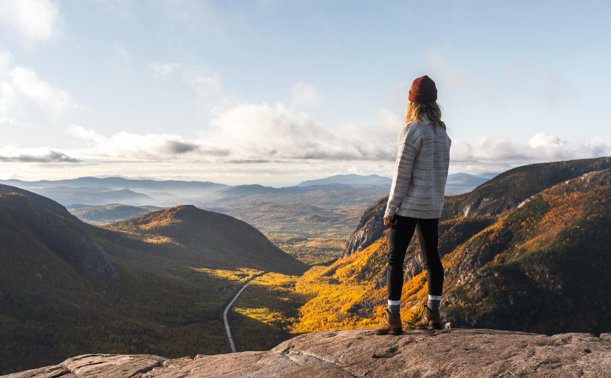
Jogging in Parc National De La Gaspésie offers routes through dramatic mountainous landscapes, encompassing parts of the Chic-Chocs and McGerrigle ranges. The region features over 25 peaks exceeding 1,000 meters, creating diverse microclimates from boreal forests to alpine tundra. Runners can explore ancient forests, crystal-clear lakes like Lac aux Américains, and glacial cirques. The park provides a well-developed network of over 140 kilometers of marked trails, suitable for various running experiences.
Best jogging routes in Parc National De La Gaspésie
- The most popular jogging route is Pic du Brûlé loop from Cascapédia 2, an 8.3 miles (13.3 km) trail that takes about 1 hour 50 minutes to complete, featuring significant elevation gain.
- Another top favourite among local runners is Mont Richardson – Point de vue loop from Le Roselin, a difficult 7.0 miles (11.3 km) path. This route offers substantial climbs and panoramic viewpoints over the mountainous terrain.
- Local runners also love the Mont Jacques-Cartier loop from Navette Mont-Jacques-Cartier (retour), a 5.0 miles (8.1 km) trail leading through high alpine environments, often completed in about 1 hour 18 minutes.
- Jogging in Parc National De La Gaspésie is defined by its mountainous landscapes, boreal forests, and alpine tundra. The extensive trail network offers options for technically challenging routes.
- The guide includes highly-rated routes that showcase the best of the region's landscape. More than 50 runners have used komoot to explore Parc National De La Gaspésie's varied terrain.
Last updated: May 12, 2026
5.0
(1)
14
runners
13.3km
01:51
450m
450m
Hard run. Very good fitness required. Mostly paved surfaces. Suitable for all skill levels.
14
runners
11.3km
01:39
770m
770m
Hard run. Very good fitness required. Mostly paved surfaces. Suitable for all skill levels.

Sign up for free
12
runners
8.10km
01:18
460m
460m
Hard run. Very good fitness required. Mostly paved surfaces. Suitable for all skill levels.
11
runners
5.00km
00:49
210m
210m
Hard run. Good fitness required. Sure-footedness, sturdy shoes and alpine experience required.
8
runners
5.36km
00:42
120m
120m
Hard run. Good fitness required. Sure-footedness, sturdy shoes and alpine experience required.
Our route recommendations are based on thousands of hikes, rides, and runs completed by other people on komoot.
Start today with a free account
Your next adventure awaits.
Login or Signup
Popular around Parc National De La Gaspésie
Other adventures in Parc National De La Gaspésie

Frequently Asked Questions
How many running routes are available in Parc National De La Gaspésie?
There are several dedicated running routes in Parc National De La Gaspésie, with komoot featuring 5 challenging options. These trails traverse the park's dramatic mountainous landscapes, offering diverse experiences from boreal forests to alpine tundra.
What kind of terrain can I expect on the jogging trails in Parc National De La Gaspésie?
The terrain in Parc National De La Gaspésie is characterized by its 'sea of mountains' topography, including parts of the Chic-Chocs and McGerrigle ranges. You'll encounter significant elevation changes, with trails leading through boreal forests, alpine tundra, and sometimes rocky, technical sections, especially around higher peaks like Mont Jacques-Cartier.
Are there any circular running routes in Parc National De La Gaspésie?
Yes, many of the running routes in the park are circular. For example, you can explore the Pic du Brûlé loop from Cascapédia 2, a challenging 13.3 km trail, or the Mont Richardson – Point de vue loop from Le Roselin, which offers panoramic views over 11.3 km.
What are some notable landmarks or viewpoints I can see while running in the park?
While running, you can encounter stunning natural features. Highlights include the beautiful Lac aux Américains, a glacial lake surrounded by verdant hills. You might also pass by Devil's Falls or ascend to summits like Mont Ernest-Laforce for exceptional panoramas of the mountainous landscape.
Are there any easy or family-friendly running options in Parc National De La Gaspésie?
While many of the featured routes are considered difficult due to elevation and technical sections, the park offers a wide range of trails. The region research mentions the Lac-aux-Américains trail as an easier 2.6-kilometer round trip, ideal for families, though it's not specifically listed as a dedicated running route in this guide. For running, expect more challenging terrain.
What is the best season for trail running in Parc National De La Gaspésie?
The best season for trail running typically aligns with late spring to early autumn when trails are free of snow and ice. The park's unique microclimates mean conditions can vary, especially at higher elevations. Mont Jacques-Cartier, for instance, can have arctic plants, indicating cooler conditions. Always check local conditions before heading out.
Are there any specific challenges or considerations for running in this region?
Yes, the mountainous terrain means significant elevation gains and potentially technical sections with large rocks, especially on trails like those around Mont Jacques-Cartier. The park is also home to wildlife, including moose and the Gaspésie caribou, so runners should be aware of their surroundings. Proper gear for varied mountain conditions is recommended.
What do other runners say about the trails in Parc National De La Gaspésie?
The komoot community highly rates the running experience in Parc National De La Gaspésie, with an average score of 5.0 stars. Runners often praise the dramatic mountainous landscapes, the diverse ecosystems, and the challenging yet rewarding nature of the trails. Over 50 runners have used komoot to explore this region's varied terrain.
Are there any shorter running routes for a quick workout?
For a quicker run, you could consider routes like the Belvédère de la Saillie loop from Chute Sainte-Anne, which is about 5.0 km, or the Chute Sainte-Anne loop from P2 La Vallée, approximately 5.4 km. Both offer a challenging experience with notable elevation gains.
Is public transport available to access the running trails in Parc National De La Gaspésie?
The park offers a daily transportation service, which can be very useful for runners looking to customize their routes or arrange for pick-up at their arrival points. This service allows for more flexibility in planning your running adventures within the extensive trail network.
What kind of wildlife might I encounter while jogging in the park?
Parc National De La Gaspésie is a protected area known for its diverse wildlife. You might spot the rare Gaspésie caribou, the last herd south of the St. Lawrence River, or encounter moose, which are present in high concentrations. Various bird species also inhabit the park's different ecosystems.
Most popular routes in Parc National De La Gaspésie
Most popular attractions in Parc National De La Gaspésie

Get inspired with the komoot mobile app


Explore more
Browse the best Running Trails & Routes in other regions.
