The best walks and hikes in Reykjanesfólkvangur
4.5
(960)
9,957
hikers
28
hikes
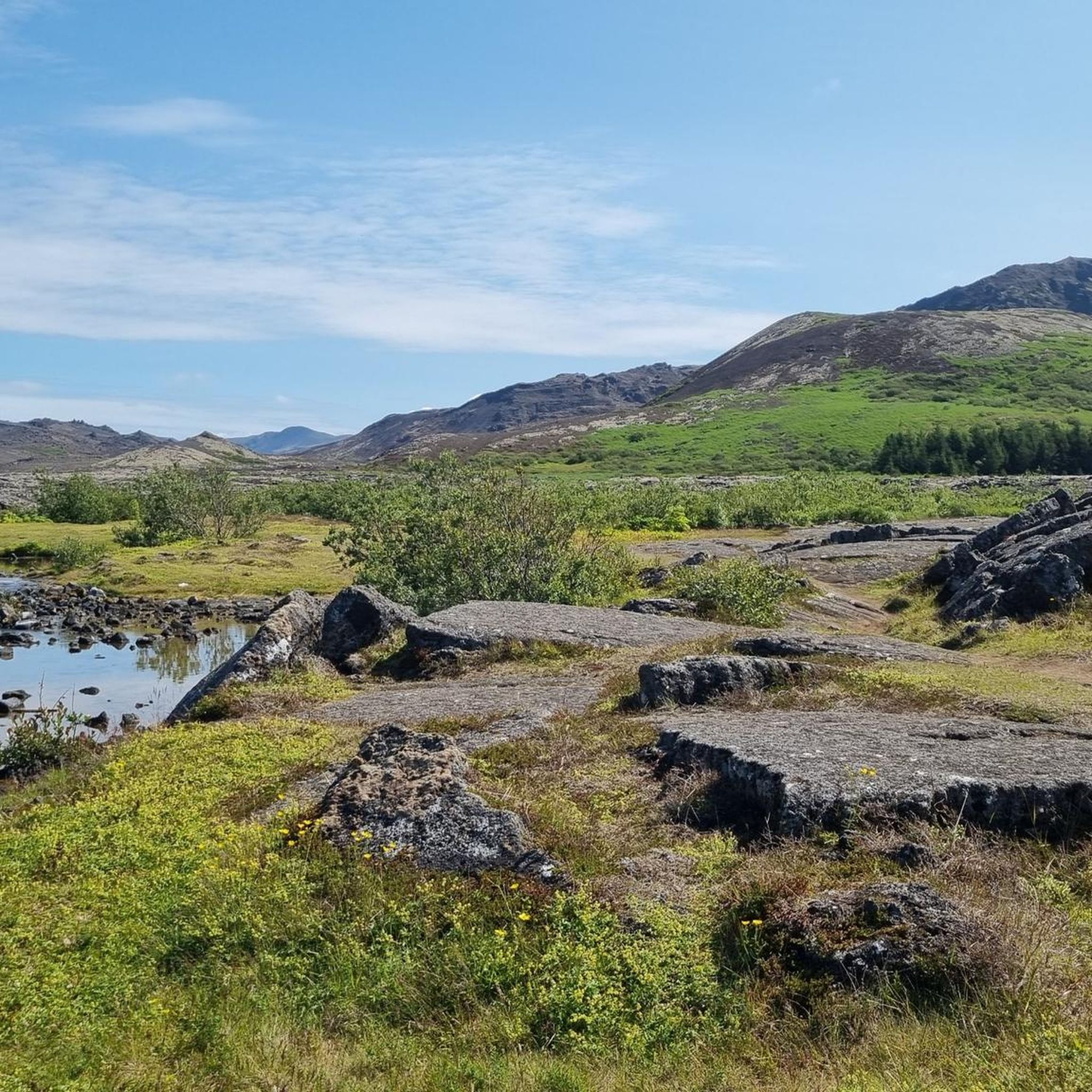
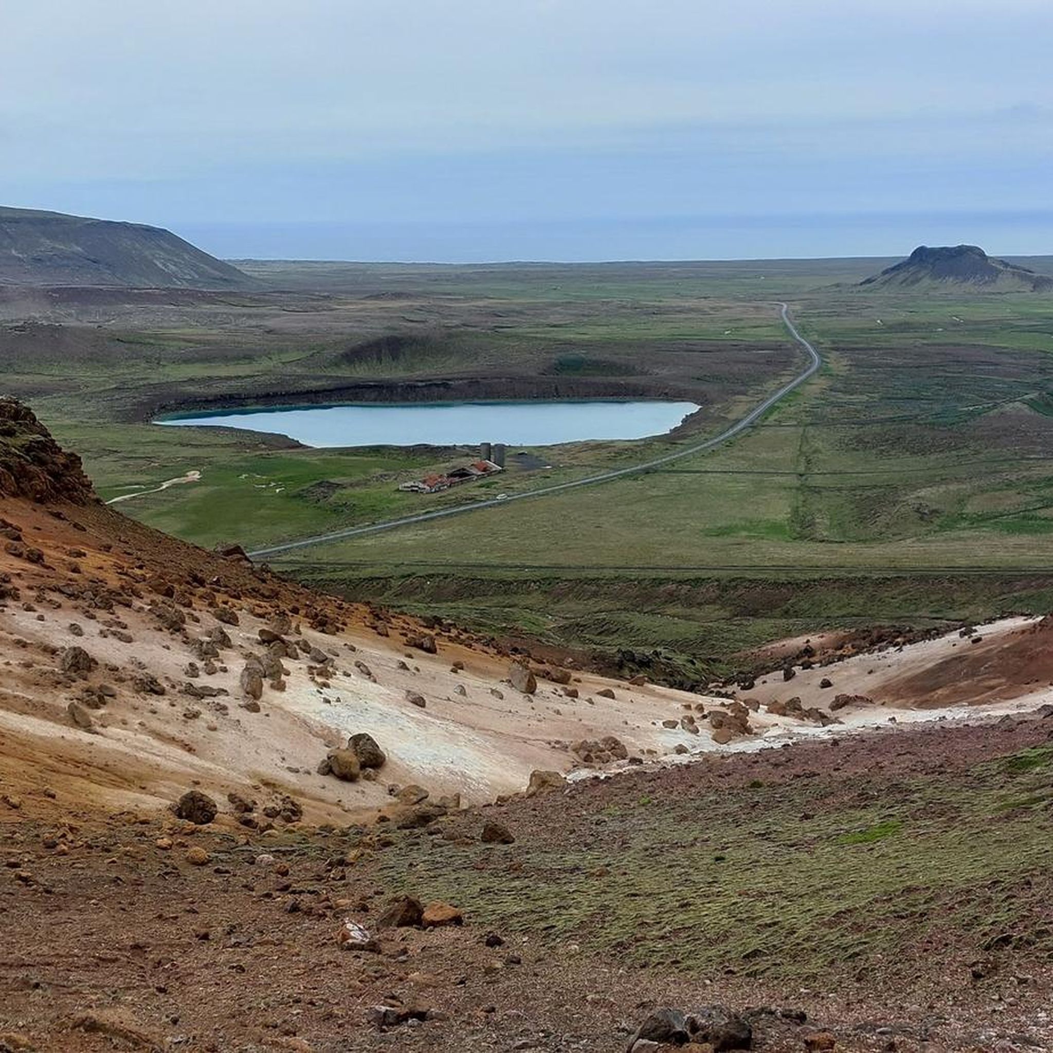
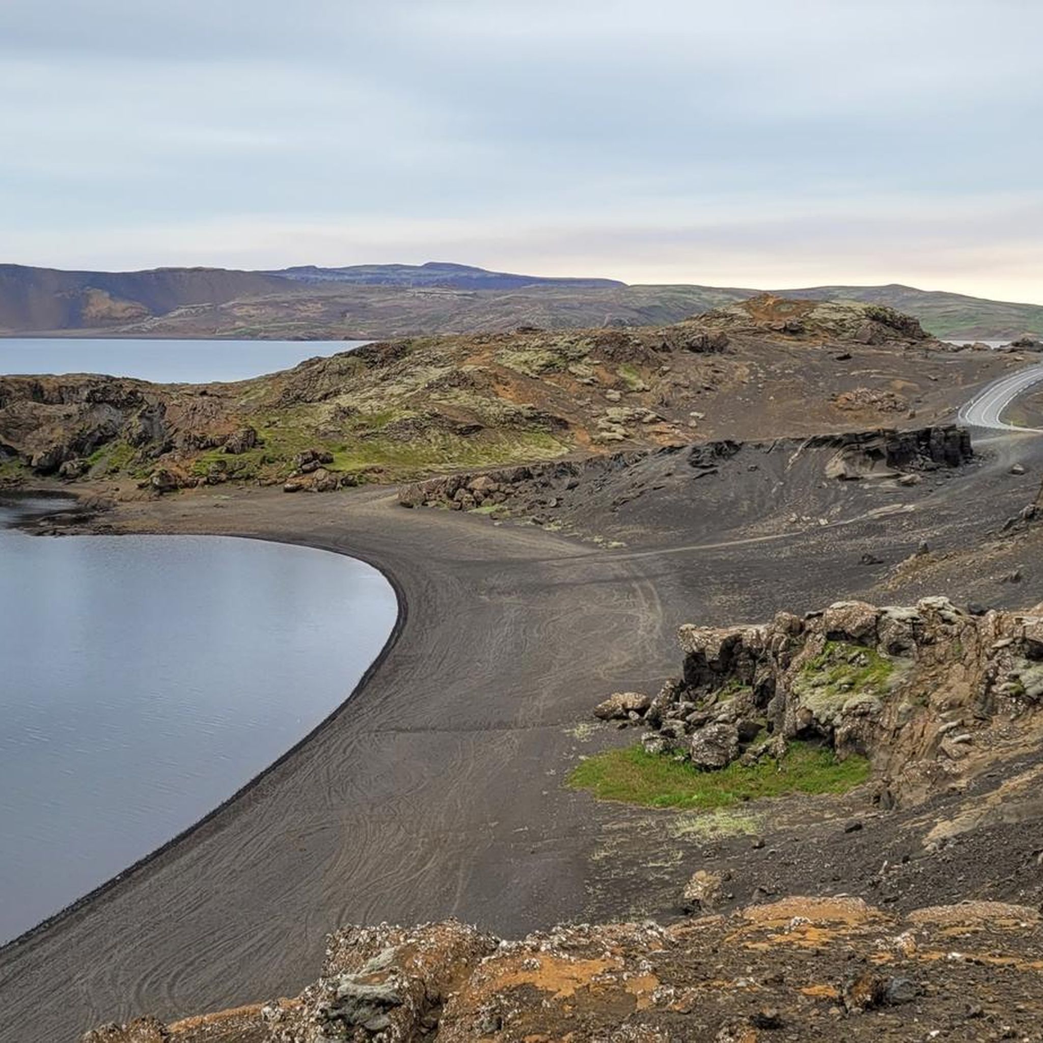
Hiking in Reykjanesfólkvangur offers trails through a landscape shaped by volcanic activity and tectonic plate boundaries. The region features extensive lava fields, geothermal areas with mud pots and steam vents, and volcanic cones. Hikers can explore diverse terrain, from moss-covered lava to the shores of large lakes and dramatic sea cliffs. This natural park provides varied routes for experiencing Iceland's geological formations.
Best hiking trails in Reykjanesfólkvangur
- The most popular hiking route is Helgafell – Helgafell Summit (Reykjanesfólkvangur) loop from…
Last updated: May 19, 2026
4.7
(14)
167
hikers
Moderate hike. Good fitness required. Easily-accessible paths. Suitable for all skill levels.
5.0
(1)
2
hikers
13.8km
03:52
260m
260m
Moderate hike. Good fitness required. Easily-accessible paths. Suitable for all skill levels.

Sign up for free
5.0
(2)
25
hikers
Easy hike. Great for any fitness level. Easily-accessible paths. Suitable for all skill levels.
5.0
(1)
6
hikers
7.55km
02:13
200m
200m
Moderate hike. Good fitness required. Easily-accessible paths. Suitable for all skill levels.
5.0
(4)
48
hikers
3.44km
01:11
180m
180m
Easy hike. Great for any fitness level. Easily-accessible paths. Suitable for all skill levels.
Get access to more routes and recommendations from other explorers.
Sign up for free
Already have an account?
Our route recommendations are based on thousands of hikes, rides, and runs completed by other people on komoot.
Start today with a free account
Your next adventure awaits.
Login or Signup
Tips from the Community

Everything is explained very well here, and an overview map makes it easier to get your bearings. It's amazing how much vegetation exists less than 5 meters from a boiling hot pool.
0
0
Only those who make the effort to climb the steep climb will be able to enjoy these views. But at the top, you'll know why you did it.
0
0
Anyone visiting Seltún will be amazed at how closely the area resembles a lunar landscape. With its red, somewhat unreal gravel and steaming vents, the area is dotted with bubbling mud pools, fumaroles, and hot springs.
2
0

Smells bad and not suitable for bathing
1
0

Very interesting and not so crowded
3
1
It is worth hiking up and letting your gaze wander into the distance
2
0

The Seltún Geothermal Area, located on the Reykjanes Peninsula in Iceland, is a captivating landscape where the earth's fiery forces come alive. As you step into this otherworldly realm, you are greeted by a mesmerizing display of bubbling mud pots, steaming fumaroles, and vibrant mineral-rich hot springs. Seltún is a geological wonderland that showcases the raw power of geothermal activity. The area is characterized by its vibrant hues of red, yellow, and green, created by the presence of sulfur and other minerals. The vivid colors against the stark volcanic backdrop create a surreal and captivating scene. Walking along the wooden boardwalks that wind through the geothermal area, you'll witness the dynamic nature of the Earth. The bubbling mud pots, spouting steam vents, and hissing fumaroles create a symphony of natural sounds and a sensory experience like no other. The pungent scent of sulfur permeates the air, adding to the unique ambiance of the place. Seltún is not only a feast for the senses but also a destination for geothermal exploration. The area provides a glimpse into the geological processes that have shaped Iceland over millennia. It offers a fascinating opportunity to learn about the Earth's inner workings, as well as the importance of geothermal energy to Iceland's sustainable development. Visiting Seltún allows you to witness the raw power and beauty of nature, where steam rises from the depths of the Earth and the land seems to come alive. It's an unforgettable experience that immerses you in Iceland's geothermal wonders and leaves you with a profound appreciation for the forces that shape our planet.
0
0

Small but nice!!!! We recommend!
0
0
Frequently Asked Questions
How many hiking trails are available in Reykjanesfólkvangur?
Reykjanesfólkvangur offers a diverse network of over 25 hiking trails. These routes range from easy walks to more challenging moderate climbs, allowing visitors to explore the unique volcanic landscape.
What kind of hiking difficulty can I expect in Reykjanesfólkvangur?
The trails in Reykjanesfólkvangur cater to various fitness levels. You'll find approximately 15 easy routes, perfect for leisurely strolls, and around 13 moderate trails for those seeking a bit more challenge. There are no difficult trails listed, making it accessible for most hikers.
What natural features and landmarks can I see while hiking in Reykjanesfólkvangur?
Reykjanesfólkvangur is rich in geological wonders. You can explore the vibrant Seltún Geothermal Area with its bubbling mud pots and steaming vents. Other notable features include the dramatic Djúpavatn lake, the vast lava fields, and volcanic cones like Búrfell. The Valahnúkur summit also offers panoramic views.
Are there family-friendly hiking trails in Reykjanesfólkvangur?
Yes, Reykjanesfólkvangur has several easy trails suitable for families. For instance, the Helgafell – Reykjanesfólkvangur Trailhead loop is an easy 4.1-mile (6.6 km) route through volcanic terrain, often completed in under two hours. The climb to Helgafell itself is also considered easy and offers great views.
Are there any circular hiking routes in Reykjanesfólkvangur?
Many trails in Reykjanesfólkvangur are designed as loops, allowing you to start and end at the same point. A popular option is the Helgafell – Helgafell Summit loop, which is 5.6 miles (9.1 km) and offers panoramic views. Another is the Seltún Parking Area – Arnarvatn Lake loop, a moderate 5.0-mile (8.0 km) path traversing the geothermal area.
What is the best time of year to hike in Reykjanesfólkvangur?
The best time for hiking in Reykjanesfólkvangur is generally during the warmer months, from late spring to early autumn (May to September). During this period, the weather is milder, days are longer, and trails are typically free of snow and ice, making for safer and more enjoyable conditions. However, weather in Iceland can be unpredictable, so always be prepared for sudden changes.
Is public transport available to Reykjanesfólkvangur for hikers?
While Reykjanesfólkvangur is relatively close to Reykjavík and Keflavik International Airport, public transport options directly into the reserve's trailheads are limited. Most visitors access the area by car, which allows for greater flexibility in exploring the various hiking spots and geothermal areas. Some tour operators offer guided trips that include transport.
Where can I find parking for hiking trails in Reykjanesfólkvangur?
Designated parking areas are available at key trailheads and popular attractions within Reykjanesfólkvangur. For example, there is a specific Seltún Parking Area for visitors exploring the geothermal site and nearby trails. Always look for marked parking spots to ensure you are not obstructing access or damaging the delicate environment.
Are permits required for hiking in Reykjanesfólkvangur?
Generally, no specific permits are required for hiking the established trails within Reykjanesfólkvangur. It is a wilderness reserve open to the public. However, always respect local regulations, stay on marked paths, and be mindful of the fragile natural environment, especially around geothermal areas.
What do other hikers enjoy most about hiking in Reykjanesfólkvangur?
The komoot community highly rates the trails in Reykjanesfólkvangur, with an average score of 4.35 stars from over 80 reviews. Hikers frequently praise the unique volcanic landscapes, the dramatic geothermal activity, and the sense of being on the boundary of tectonic plates. The diverse terrain, from moss-covered lava fields to panoramic viewpoints, is often highlighted as a major draw.
Are there any trails that combine geothermal areas with lake views?
Yes, several trails offer a combination of geothermal wonders and picturesque lake views. The Seltún Geothermal Area – Arnarvatn Lake loop is a great example, allowing you to experience the vibrant Seltún area before heading towards the tranquil Arnarvatn Lake. You can also get views of Kleifarvatn and Grænavatn from various points, such as during a hike to Hverafjall.
Can I bring my dog on the hiking trails in Reykjanesfólkvangur?
While Iceland generally welcomes dogs in many outdoor areas, specific rules for Reykjanesfólkvangur regarding dogs on trails can vary. It's always best to keep dogs on a leash to protect wildlife and the delicate ecosystem. Please check for any specific signage at trailheads or local regulations regarding pets before you go.
Most popular routes in Reykjanesfólkvangur
Most popular attractions in Reykjanesfólkvangur

Get inspired with the komoot mobile app


Explore more
Browse the best Hikes in other regions.
