The best walks and hikes in Basses Vallées Du Cotentin Et Baie Des Veys
4.4
(2612)
15,636
hikers
47
hikes
Hiking in Basses Vallées Du Cotentin Et Baie Des Veys offers diverse natural landscapes, characterized by the vast Marais du Cotentin et du Bessin, Normandy's largest wetland, which includes water-meadows and peatlands. This marshland connects to the Baie des Veys, a wide bay featuring salt meadows, mudflats, and dunes. The region also encompasses wooded countryside and traditional Normandy bocage, providing varied backdrops for exploration.
Best hiking trails in Basses Vallées Du Cotentin Et Baie Des Veys
- The most popular hiking…
Last updated: October 8, 2026
4.3
(16)
64
hikers
Moderate hike. Good fitness required. Easily-accessible paths. Suitable for all skill levels.
4.6
(9)
67
hikers
Moderate hike. Good fitness required. Easily-accessible paths. Suitable for all skill levels.

4.2
(19)
66
hikers
11.9km
03:04
60m
60m
Moderate hike. Good fitness required. Easily-accessible paths. Suitable for all skill levels.
4.6
(10)
153
hikers
5.53km
01:24
10m
10m
Easy hike. Great for any fitness level. Easily-accessible paths. Suitable for all skill levels.
4.4
(8)
32
hikers
12.4km
03:15
90m
90m
Moderate hike. Good fitness required. Easily-accessible paths. Suitable for all skill levels.
Get access to more routes and recommendations from other explorers.
Already have an account?
Our route recommendations are based on thousands of hikes, rides, and runs completed by other people on komoot.
Start today with a free account
Your next adventure awaits.
Popular around Basses Vallées Du Cotentin Et Baie Des Veys
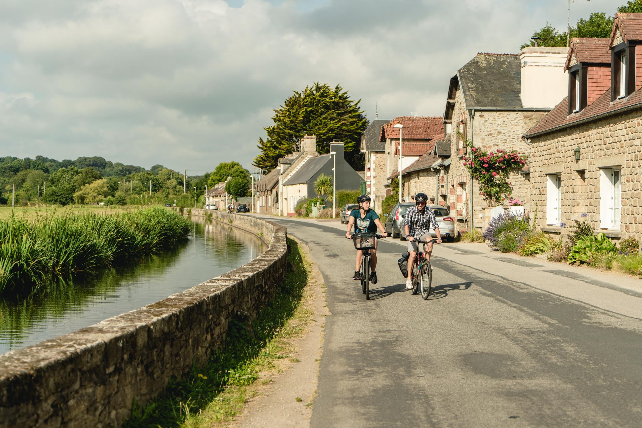
Tour du Cotentin en suivant la Vélomaritime®
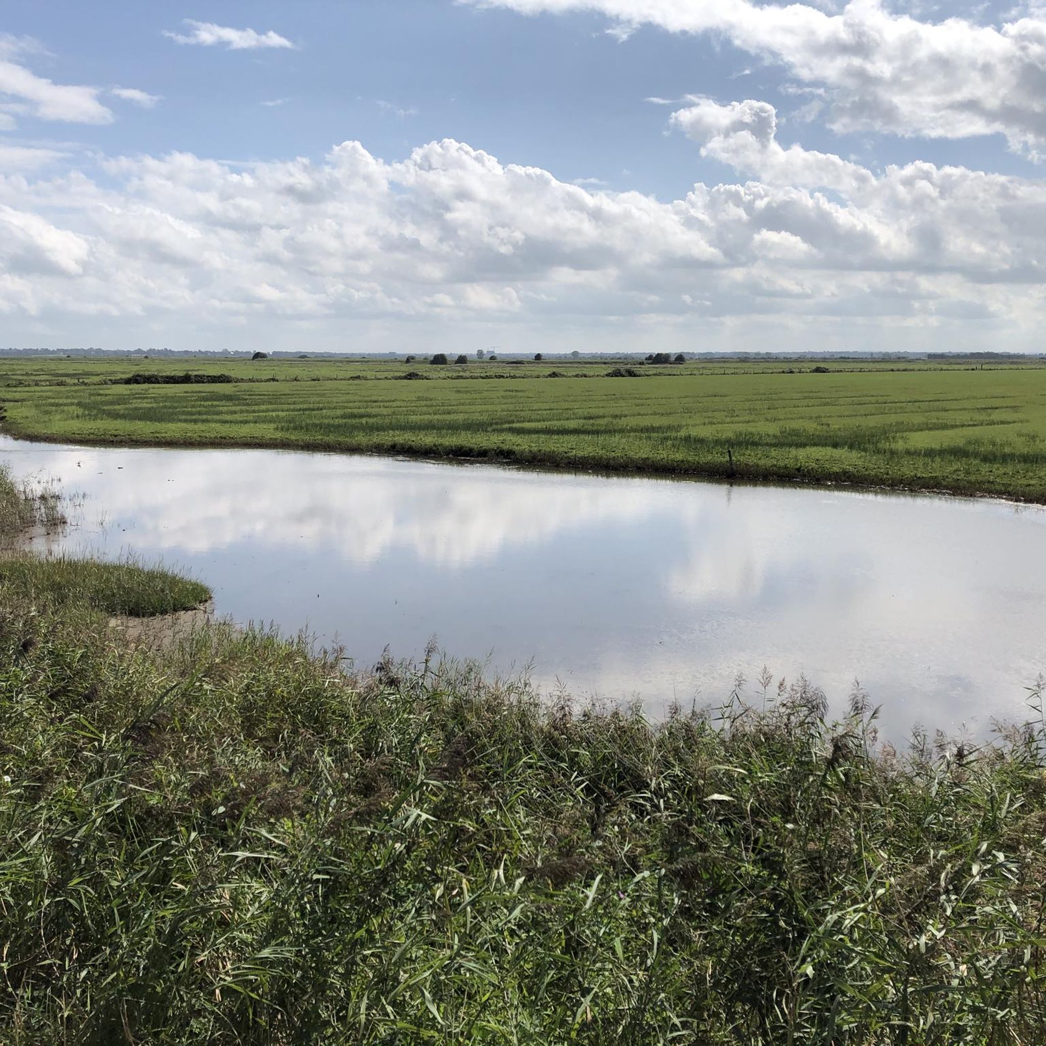
Cycling in Basses Vallées Du Cotentin Et Baie Des Veys
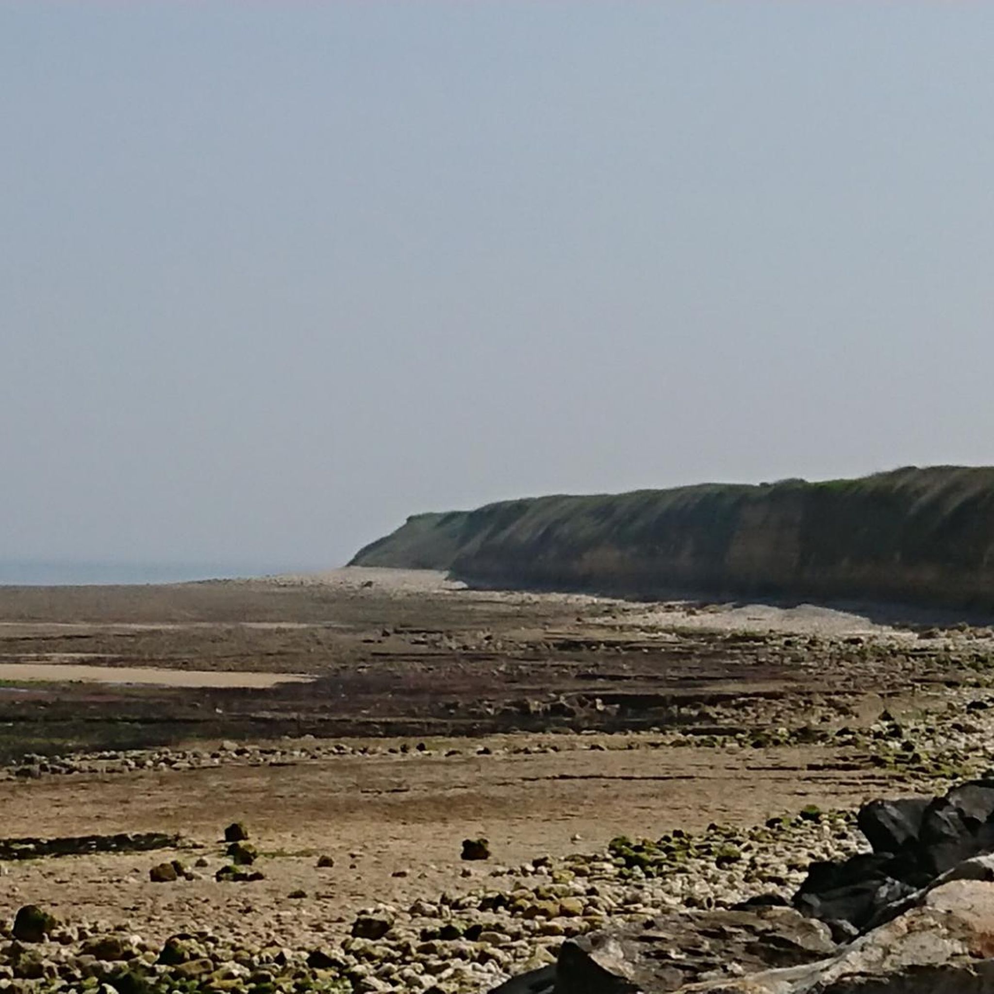
MTB Trails in Basses Vallées Du Cotentin Et Baie Des Veys
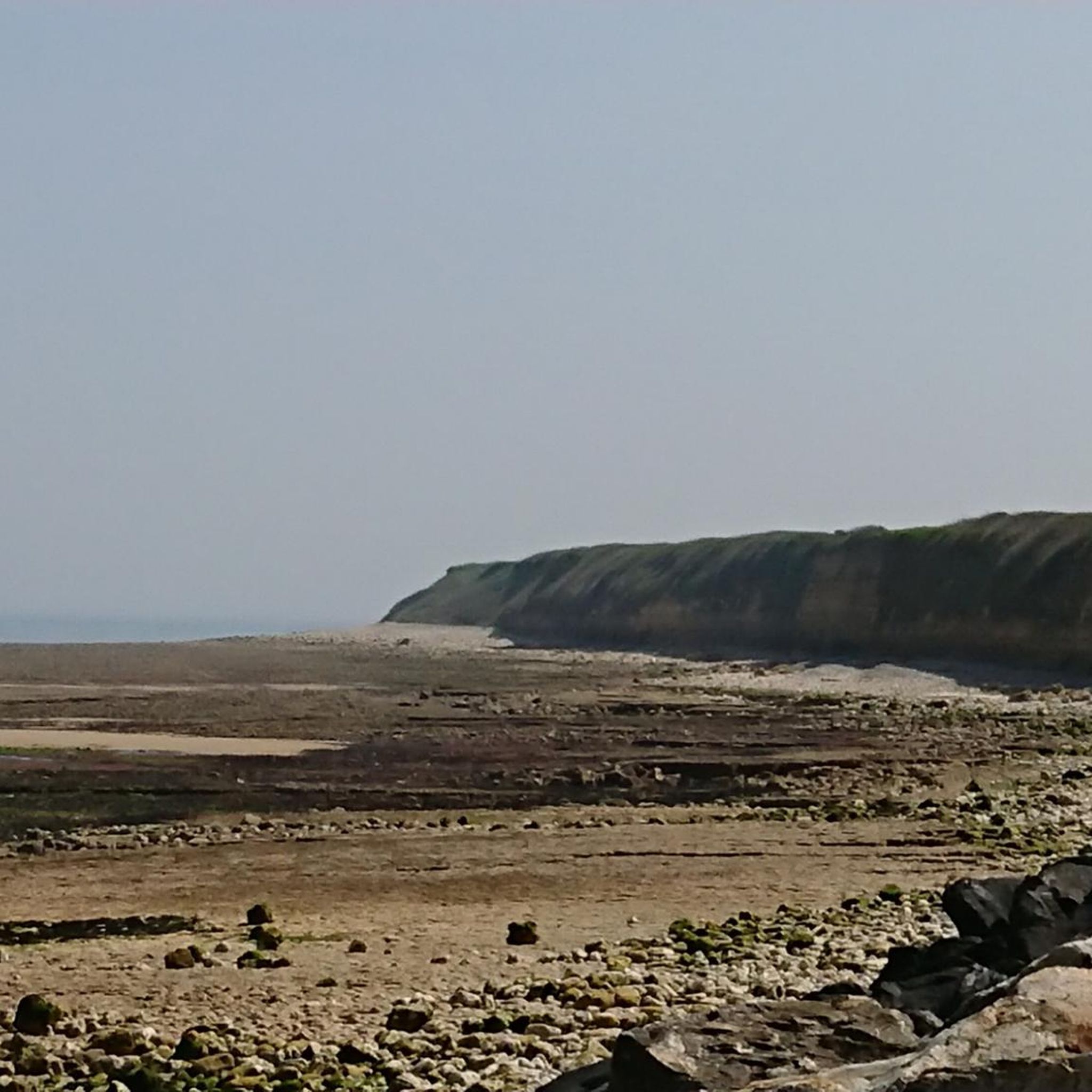
Running Trails in Basses Vallées Du Cotentin Et Baie Des Veys
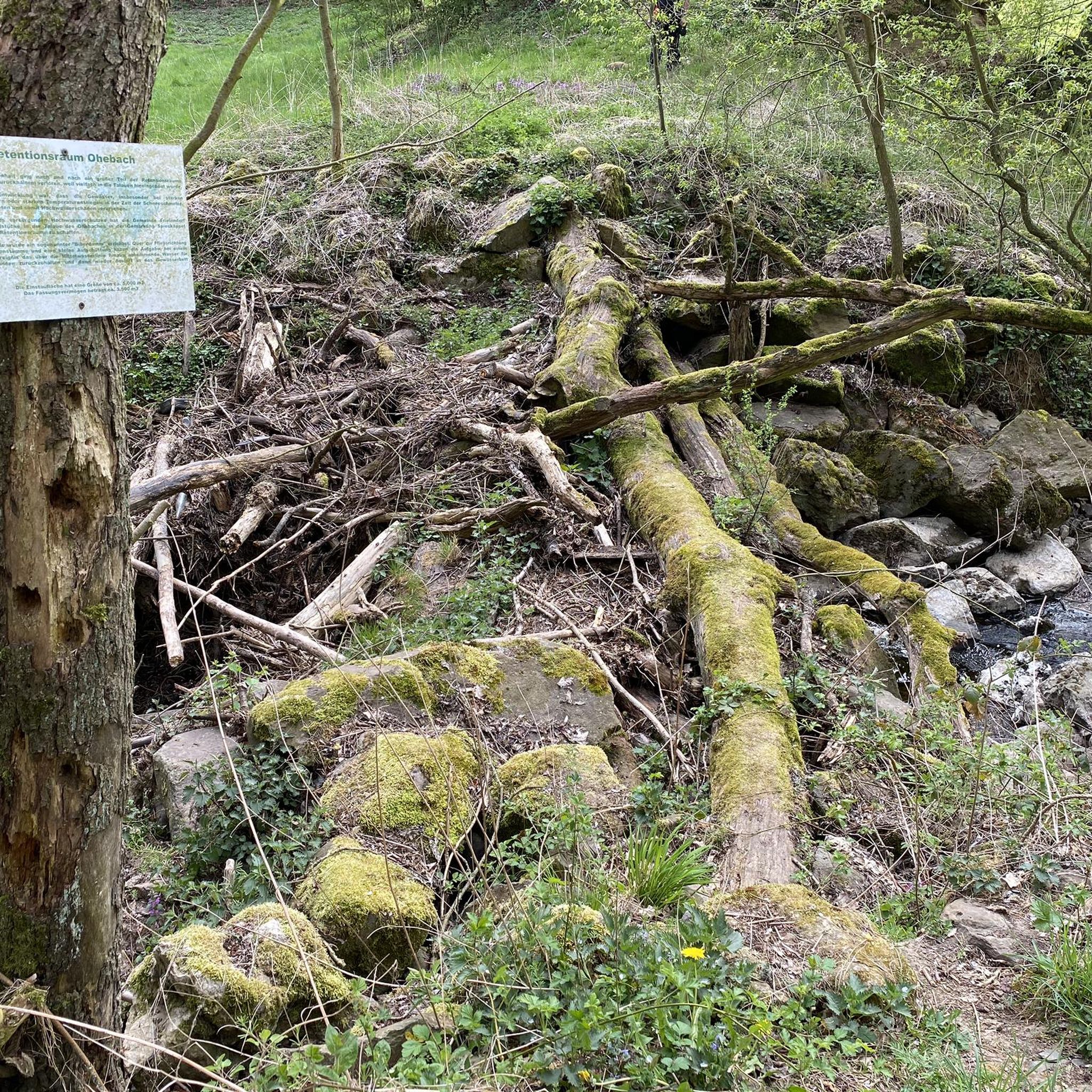
Gravel biking in Basses Vallées Du Cotentin Et Baie Des Veys
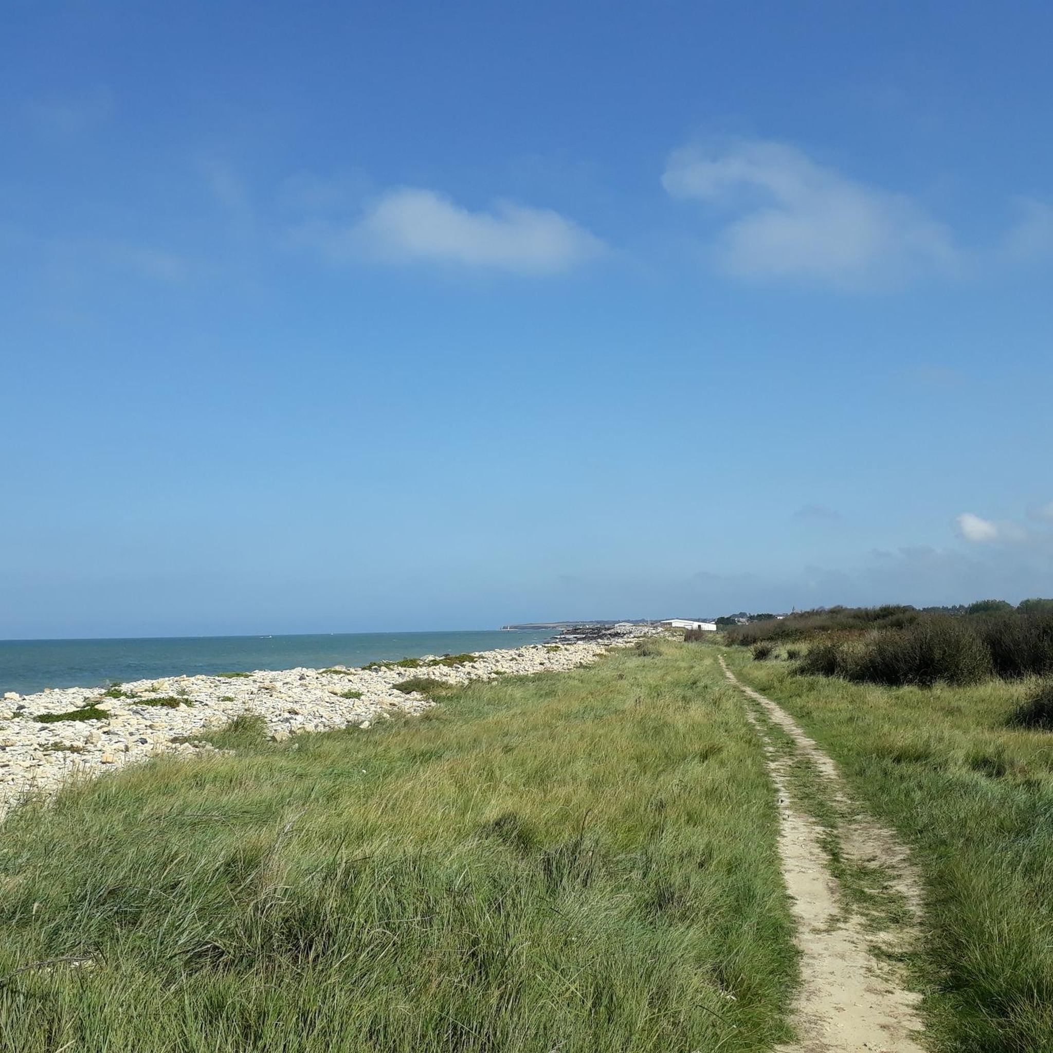
Road Cycling Routes in Basses Vallées Du Cotentin Et Baie Des Veys
Other adventures in Basses Vallées Du Cotentin Et Baie Des Veys

Tips from the Community

Utah Beach is the code name given by the Allies to one of the five beaches of the Normandy landings on June 6, 1944 (D-Day) during World War II. It represented the westernmost attack sector of the entire Operation Overlord and was located on the Cotentin Peninsula, between the towns of Pouppeville and Saint-Martin-de-Varreville. Today, the site presents itself as a quiet sandy beach at the gates of Sainte-Marie-du-Mont, rich in historical monuments and memory trails.
0
0

Utah Beach was the first of the five D-Day landing beaches to be recaptured by the Allies. It was chosen to retake Cherbourg and its deep-water port. Several memorials along the beach allow visitors to rediscover the history of the landings.
1
0

Excellent lunch spot; good service and very friendly
0
0

A beautiful, expansive beach steeped in history.
3
1
Memorials that remind you again and again "NEVER AGAIN WAR" that is something the warmongers from 🇩🇪 and the 🇪🇺 should especially make their motto.
3
0
A place steeped in history, one of the five landing zones.
2
0
A visit to the museum is worthwhile.
3
0
Bronze statues, very detailed, depicting landing with a landing craft.
2
0
Frequently Asked Questions
How many hiking trails are available in Basses Vallées Du Cotentin Et Baie Des Veys?
There are nearly 50 hiking routes available in the Basses Vallées Du Cotentin Et Baie Des Veys region, catering to various skill levels. This includes over 20 easy trails, around 25 moderate options, and a few more challenging paths for experienced hikers.
What makes hiking in Basses Vallées Du Cotentin Et Baie Des Veys unique?
The region is defined by its diverse natural landscapes, primarily the vast Marais du Cotentin et du Bessin, Normandy's largest wetland, which transforms seasonally. You'll also find coastal paths along the Baie des Veys with salt meadows and dunes, and traditional Normandy bocage (hedged farmland). This mix offers unique experiences, from marshland exploration to coastal views.
Are there easy hiking trails suitable for beginners or families?
Yes, the region offers over 20 easy hiking trails perfect for beginners or families. An excellent option is the Canal de Carentan – Carentan Canal and Marina loop from Carentan, which is an easy 3.4-mile (5.5 km) route following the historic Canal de Carentan.
Can I find circular hiking routes in Basses Vallées Du Cotentin Et Baie Des Veys?
Yes, many of the trails in the region are circular, allowing you to start and end at the same point. For example, the Chapel Saint Michel – Ruins of Chapelle Saint-André loop from Quinéville is a moderate 6.2-mile (9.9 km) circular path offering coastal views.
What kind of wildlife can I expect to see while hiking?
The region is rich in biodiversity, especially within the Marais du Cotentin et du Bessin and the Baie des Veys. You can spot numerous bird species, as the bay is a major wintering ground. Harbor seals are also present in the Baie des Veys. The diverse ecosystem of water-meadows and peatlands supports a variety of flora and fauna.
Are there any historical or natural attractions along the hiking trails?
Absolutely. You can explore historical sites like the 2nd Armored Division Monument or the Quinéville Museum and Memorial. Natural features include the Canal de Carentan, where river and sea waters meet, and the Marais de Pommenauque, part of the extensive marshlands.
What is the best time of year to hike in Basses Vallées Du Cotentin Et Baie Des Veys?
The region offers unique experiences year-round. While the marshlands are regularly flooded in winter, transforming into a vast lake, spring and autumn provide pleasant temperatures and vibrant landscapes. Summer is also popular, especially for coastal walks. Consider visiting in spring for birdwatching or autumn for the changing colors of the bocage.
Are dogs allowed on the hiking trails?
Many trails in the Basses Vallées Du Cotentin Et Baie Des Veys region are dog-friendly, but it's always recommended to check specific trail regulations, especially within the Marais du Cotentin et du Bessin Regional Natural Park, to ensure responsible hiking with your pet. Always keep dogs on a leash to protect wildlife.
How accessible are the hiking trails by public transport?
While some towns like Carentan have public transport connections, many trailheads in the more rural marshland and coastal areas may require a car for convenient access. It's advisable to research specific routes and local transport options in advance if you plan to rely on public transport.
Where can I find parking for hiking trails in the Baie des Veys area?
Parking is generally available at popular trailheads and near villages or attractions along the Baie des Veys. For coastal routes like the Sherman tank at Utah Beach – Utah Beach Museum loop from Hameau Mottet, you'll often find designated parking areas near historical sites or beaches.
What do other hikers enjoy most about hiking in Basses Vallées Du Cotentin Et Baie Des Veys?
The area is highly rated by the komoot community, with an average score of 4.3 stars from over 670 reviews. Hikers often praise the diverse natural landscapes, from the tranquil marshlands to the scenic coastal paths, and the opportunity to explore both natural beauty and historical sites.
Are there any guided nature tours available in the region?
Yes, the Marais du Cotentin et du Bessin Regional Natural Park offers guided nature tours. These tours provide insights into the local flora, fauna, and the seal colony of the Bay of Veys, enhancing your understanding and appreciation of the unique environment. You can find more information at the Maison du Parc in Saint-Côme-du-Mont.
Most popular routes in Basses Vallées Du Cotentin Et Baie Des Veys
Most popular attractions in Basses Vallées Du Cotentin Et Baie Des Veys

Get inspired with the komoot mobile app


Explore more
Browse the best Hikes in other regions.
