The best running trails in Microrreserva Del Cerro De Rala
109
runners
10
runs
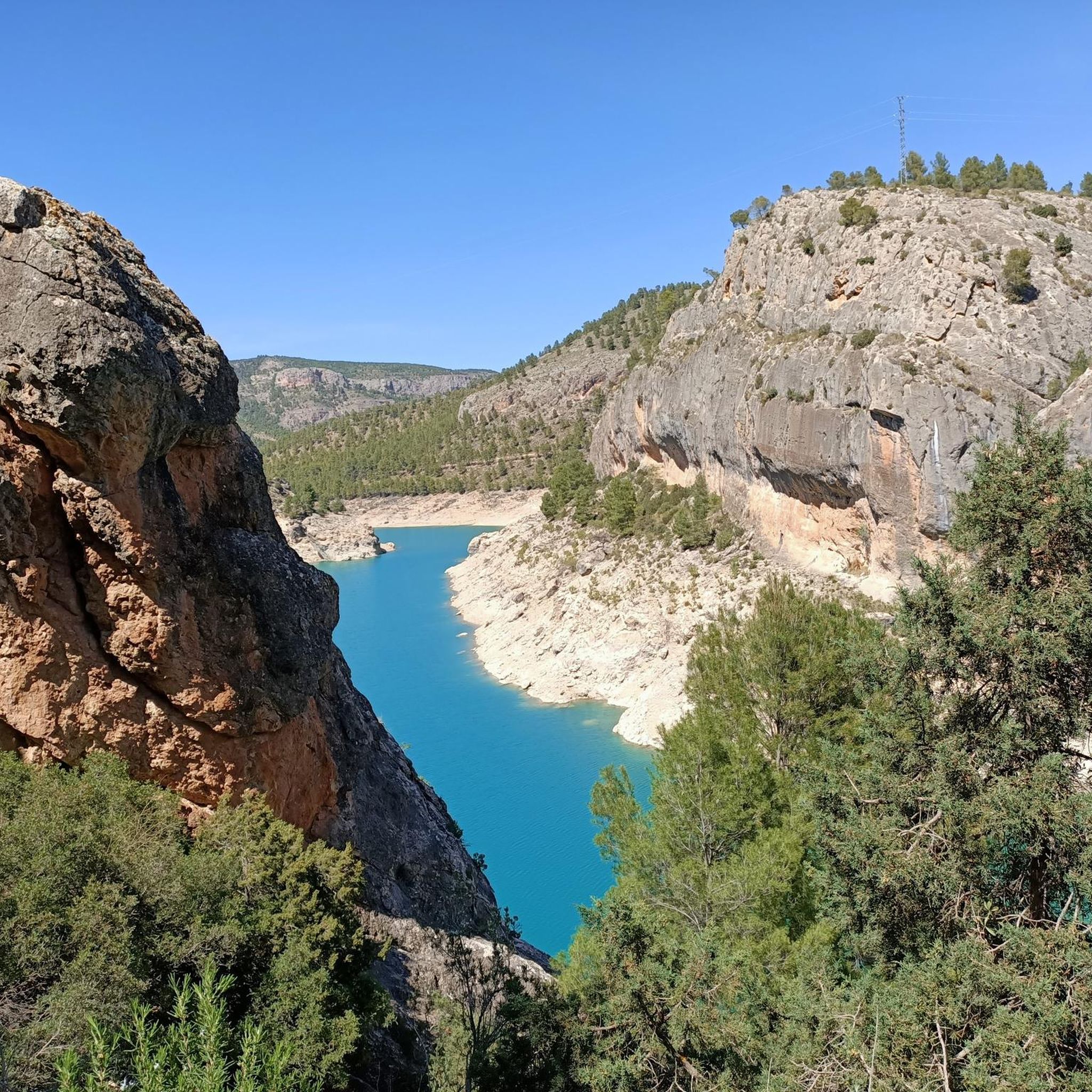
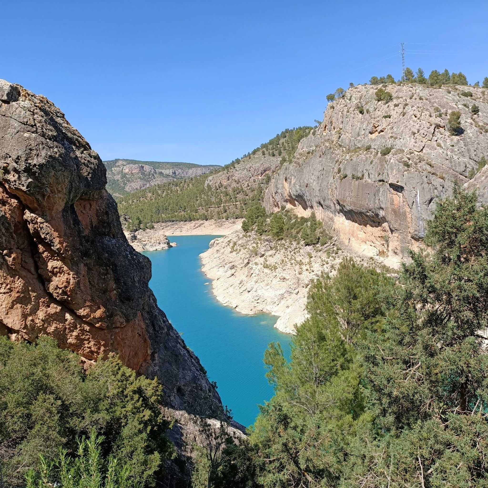
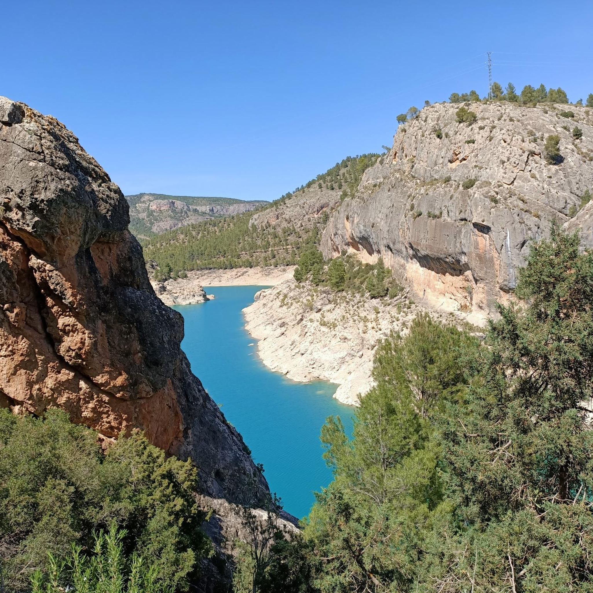
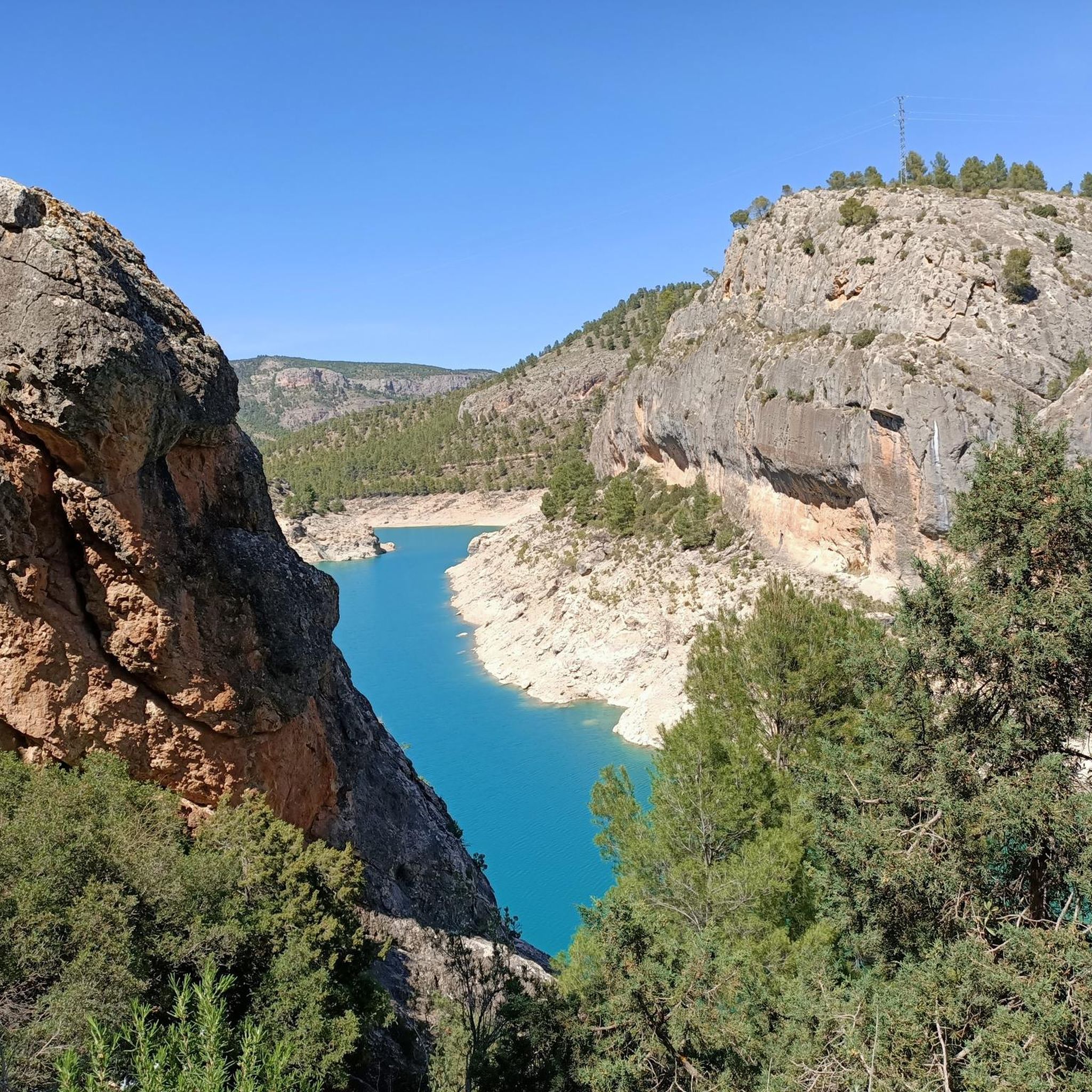
Jogging routes in Microrreserva Del Cerro De Rala traverse an elevated plateau reaching 1,065 meters, offering varied terrain for runners. The region is characterized by dolomitic and limestone formations, including sheer cliffs and distinctive geological features. Extensive Aleppo pine forests and Mediterranean undergrowth provide a natural environment for running, while the area's position above the Tus River basin offers panoramic views.
Best jogging routes in Microrreserva Del Cerro De Rala
- The most popular jogging route is Ardal – Collado de…
Last updated: September 30, 2026
26
runners
27.3km
03:56
1,110m
1,100m
Hard run. Very good fitness required. Mostly paved surfaces. Suitable for all skill levels.
4
runners
20.7km
03:06
1,010m
1,020m
Hard run. Very good fitness required. Mostly paved surfaces. Suitable for all skill levels.

8
runners
14.0km
01:55
490m
490m
Hard run. Very good fitness required. Mostly paved surfaces. Suitable for all skill levels.
2
runners
8.52km
01:21
470m
470m
Hard run. Very good fitness required. Mostly paved surfaces. Suitable for all skill levels.
1
runners
14.7km
01:43
290m
290m
Moderate run. Good fitness required. Mostly paved surfaces. Suitable for all skill levels.
Get access to more routes and recommendations from other explorers.
Already have an account?
Our route recommendations are based on thousands of hikes, rides, and runs completed by other people on komoot.
Start today with a free account
Your next adventure awaits.
Popular around Microrreserva Del Cerro De Rala
Tips from the Community

Castle of Andalusian origin, but with a strong affiliation to the Order of Santiago. It can only be visited with a guided tour
0
0

The castle and the church are the centre of the landscape of Yeste. Even if it is only from the outside, it is worth taking a look.
2
0

This municipality is nestled between the mountains in a natural environment of great beauty. In addition, it is a strategic point where several hiking routes converge.
0
0

It is a charming town located east of the mountains. In addition, it is known in the cycling world for the number of races that are held.
0
0
It is a charming town located east of the mountains. It is also known in the cycling world for the number of races that are held.
1
0
The track that crosses the Torca de los Caballos leads you to the ascent of the Cerro de los Tornajos and the Argel peak. They are the two highest points in this part of the calar del Mundo. If you are lucky, you will find cows and horses grazing freely on the plain. These wonderful animals are harmless, but try not to go too close to avoid scaring them.
0
0
At the top of the plain, a radical change in the panorama can be seen. You leave the dense pine forests to enter a karstic landscape with a different type of vegetation. The time has come to surround yourself with ancient shrubs and yews that, with the contrast of the limestone rock, form a sensational image.
0
0
If you follow the GR 68 path you will come to a mountain pass, where you can continue on the other side, or turn west towards Torca del Tejo. Whatever your course, I invite you to stop for a few moments and savor the wonderful landscape that you have before your eyes.
0
0
Frequently Asked Questions
How many running trails are available in Microrreserva Del Cerro De Rala?
Microrreserva Del Cerro De Rala offers a selection of 7 running trails. These routes vary in difficulty, with options for both moderate and challenging runs through the region's unique landscape.
What kind of terrain can I expect when running in Microrreserva Del Cerro De Rala?
Runners in Microrreserva Del Cerro De Rala will encounter an elevated plateau reaching 1,065 meters, characterized by dolomitic and robust limestone formations. Expect varied terrain with both ascents and descents, sheer cliffs, and extensive Aleppo pine forests, providing a diverse and engaging running experience.
Are there routes suitable for beginners or those looking for an easier run?
While most routes in the area are classified as difficult, there is one moderate option available: the Running loop from Baños de Tús. This 4.7-mile (7.5 km) trail leads through the Tus River basin and is a good choice for those seeking a less strenuous run.
What are the typical distances and durations for runs in the area?
Running routes in Microrreserva Del Cerro De Rala vary significantly. For example, the moderate Running loop from Baños de Tús is about 4.7 miles (7.5 km) and takes around 55 minutes. Longer, more challenging routes like the Ardal loop from Yeste cover approximately 6 miles (9.6 km) and can take over an hour and 20 minutes.
Are there any circular running routes in Microrreserva Del Cerro De Rala?
Yes, many of the running routes in the Microrreserva are circular. Examples include the Ardal loop from Yeste and the Molinicos – Molinicos loop from Molinicos, offering convenient starting and ending points.
Is parking available near the running trails?
The Microrreserva is accessible via public paths from the A-9 and A-12 roads, suggesting general accessibility. While specific parking areas for each trail are not detailed, access points typically have provisions for vehicles. It's advisable to check local signage upon arrival.
How can I reach Microrreserva Del Cerro De Rala using public transport?
The Microrreserva is situated in a natural, somewhat remote area. While public paths lead from main roads, direct public transport links to specific trailheads might be limited. It's recommended to check local bus schedules or consider driving to the nearest towns like Yeste or Molinicos and accessing trails from there.
Is Microrreserva Del Cerro De Rala suitable for families with children?
The varied terrain, including significant elevation changes and challenging routes, means that many trails might be difficult for very young children. However, families with older, active children who are accustomed to hiking could enjoy the moderate routes and the scenic natural environment. Always assess the difficulty and length of a route before setting out with family.
Can I bring my dog on the running trails?
While the Microrreserva is a natural area, it is situated on private land. Visitors are advised to respect existing signage and use only authorized paths. If dogs are permitted, they should generally be kept on a leash to protect local wildlife and respect other visitors, especially given the diverse vegetation and potential for encounters with other outdoor enthusiasts.
What is the best time of year to go running in Microrreserva Del Cerro De Rala?
The Microrreserva's extensive Aleppo pine forests provide shade, which can be beneficial during warmer months. However, the elevated terrain and potential for varied weather mean spring and autumn often offer the most pleasant temperatures for running. Winter can be beautiful but may present colder conditions or icy patches on higher elevations.
What scenic views or natural features can I expect to see while running?
Runners can enjoy expansive panoramic views from the elevated plateau, often referred to as a 'natural balcony,' overlooking the Tus and Celada river basins, especially towards the Fuensanta reservoir. The area also features distinctive geological formations like the 'Poyo de la Ventana' with its natural opening, and diverse vegetation including Aleppo pine forests and Mediterranean undergrowth.
What do other runners enjoy the most about jogging in Microrreserva Del Cerro De Rala?
More than 60 runners have used komoot to explore Microrreserva Del Cerro De Rala. They frequently praise the region's varied terrain, the challenge of its elevation changes, and the rewarding panoramic views over the river basins and surrounding hamlets. The natural environment, with its pine forests and unique rock formations, also contributes to a highly appreciated running experience.
Most popular routes in Microrreserva Del Cerro De Rala

Get inspired with the komoot mobile app


Explore more
Browse the best Running Trails & Routes in other regions.
