The best road cycling routes in Waverley - Salmon River Long Lake Wilderness Area
5.0
(2)
154
riders
11
rides
Road cycling routes in Waverley - Salmon River Long Lake Wilderness Area traverse a diverse landscape characterized by rugged granite terrain and barren hills in the south, transitioning to gentler quartzite and slate formations in the north. The region features interconnected lake and river systems, including the Salmon River, and extensive mixed coniferous forests with wetlands. While dedicated paved infrastructure within the wilderness area is limited, routes on surrounding public roads allow cyclists to experience the varied topography and natural features.
Best road cycling routes in Waverley - Salmon River Long Lake Wilderness Area
- The most popular road cycling route is Bellefontaine Train Station loop from 8775 - Hwy 7 Before Mineville Rd, a 27.8 miles (44.8 km) trail that takes 2 hours 2 minutes to complete. This moderate route features varied terrain and passes through forested areas.
- Another top favourite among local road cyclists is Downey Bluff – Macdonald Bridge loop from Lone Cloud Island, a moderate 32.0 miles (51.5 km) path. This route offers views of the region's waterways and takes approximately 2 hours 31 minutes.
- Local road cyclists also love the Lily Lake – Three Mile Lake loop from Shubie Park, a 24.9 miles (40.1 km) trail leading through forested landscapes and past lakes, often completed in about 2 hours 4 minutes.
- Road cycling in Waverley - Salmon River Long Lake Wilderness Area is defined by rugged granite hills, interconnected lakes, and mixed coniferous forests. The network offers options for different ability levels, from easy loops to more challenging long-distance rides.
- The routes in Waverley - Salmon River Long Lake Wilderness Area are highly rated by the komoot community with an average score of 4.0 stars from over 4 reviews. More than 170 road cyclists have used komoot to explore Waverley - Salmon River Long Lake Wilderness Area's varied terrain.
Last updated: October 30, 2026
2
riders
Hard road ride. Very good fitness required. Some segments of this route may be unpaved and difficult to ride.
5.0
(1)
56
riders
51.8km
02:33
380m
380m
Moderate road ride. Good fitness required. Mostly well-paved surfaces and easy to ride.

4
riders
123km
05:45
810m
810m
Hard road ride. Very good fitness required. Some segments of this route may be unpaved and difficult to ride.
6
riders
23.5km
01:17
190m
190m
Easy road ride. Mostly well-paved surfaces and easy to ride.
9
riders
33.7km
01:43
160m
160m
Easy road ride. Mostly well-paved surfaces and easy to ride.
Get access to more routes and recommendations from other explorers.
Already have an account?
Our route recommendations are based on thousands of hikes, rides, and runs completed by other people on komoot.
Start today with a free account
Your next adventure awaits.
Popular around Waverley - Salmon River Long Lake Wilderness Area
Tips from the Community

Bedford Bay forms the northwestern end of Bedford Basin, where the Sackville River meets the sheltered waters of Halifax Harbour. The shoreline here is quite developed, but public paths and boardwalks keep you close to the bay around Bedford’s waterfront. It’s also a good place to watch boats moving through the basin and waterfowl around the quieter edges of the shore.
0
0

Lake Charles is the summit of the Shubenacadie Canal, which began operation in 1861 and connected Halifax Harbour to the Bay of Fundy. However, it closed in 1871. These days, restoration work is ongoing and small boats and the like can use the waterway.
0
0
This small waterfront park sits on the shores of Bedford Basin, with open views across the water toward the hills on the opposite side of the harbour. Benches, picnic tables, and a playground make it a pleasant place to pause, while the adjacent Bedford Outdoor Pool adds to the park's community feel during the summer months.
0
0
Halifax Common is one of Canada’s oldest urban parks, set aside for public use soon after the city was founded in 1749. Today, the North Common keeps that civic feel with broad lawns, sports fields, tennis courts, the Emera Oval, and easy walking paths around the open green space. It’s more of a city loop than a nature trail, but the mix of recreation, history, and nearby landmarks makes it a worthwhile short walk.
0
0

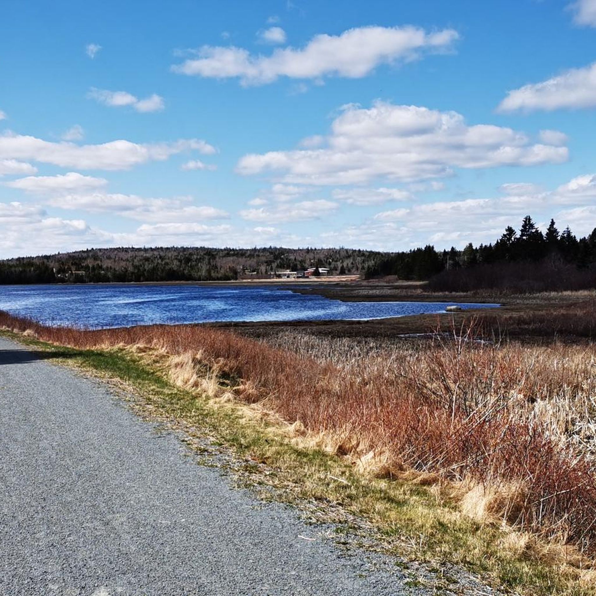
The Blueberry Run section of the Trans Canada Trail is a fantastic 12.8‑kilometre rail trail on Nova Scotia’s Eastern Shore, stretching between West Chezzetcook and Seaforth. The gravel-surfaced path runs along wetlands and forest, with beautiful coastal views, complete with benches, picnic shelters, and several access points, including trailheads at former railway stations. Popular for walking, cycling, birdwatching, and winter activities, it’s a lovely linear route interrupted only by Highway 107.
0
0
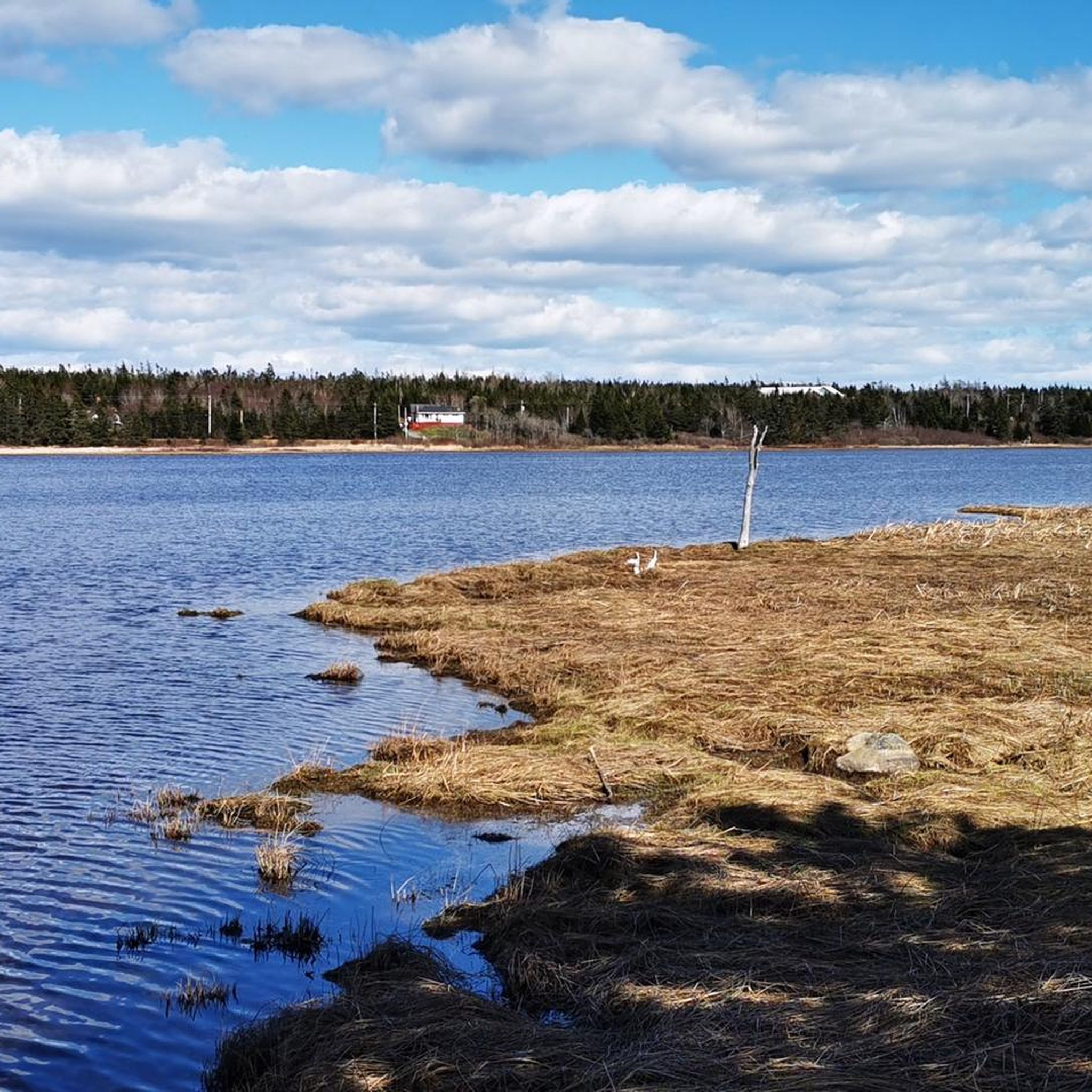
Bissett Lake is beautiful, spanning about 87.5 hectares, and is surrounded by suburban woodlands, with reeds and shallow water along its shoreline, creating a natural refuge for waterfowl and other wildlife. Despite the nearby neighbourhoods, the freshwater lake feels peaceful and surprisingly secluded.
0
0
The Chain of Lakes Trail is a paved multi-use route running through Halifax from Joseph Howe Drive to Lakeside. The trail follows a former rail corridor and is mostly level throughout, with a smooth asphalt surface suitable for walking, running, and cycling. It passes several small lakes along the way and includes benches, lookouts, and clear access points from nearby neighbourhoods and the Bayers Lake area.
0
0

Stony beach at high tide, sandy beach at low tide. Particularly known among surfers and kitesurfers. At the parking lot to the beach, there is a surf school where beginner lessons can also be booked. Surfboards and wetsuits can be rented.
1
0
Frequently Asked Questions
How many road cycling routes are available in the Waverley - Salmon River Long Lake Wilderness Area?
There are over 10 road cycling routes documented in the Waverley - Salmon River Long Lake Wilderness Area, offering a range of options for different skill levels. These routes traverse a diverse landscape of rugged granite terrain, interconnected lakes, and mixed coniferous forests.
What kind of terrain can I expect on road cycling routes in this region?
The region features varied terrain. The southern sections are characterized by rugged granite hills and ridges, while the northern areas transition to gentler landscapes of quartzite and slate. You'll encounter hills rising over 100 meters, mixed coniferous forests, and extensive wetlands, bogs, and fens, particularly along slow-flowing watercourses.
Are there any challenging road cycling routes for experienced riders?
Yes, for experienced riders seeking a challenge, routes like the Milnes Lake – Tully Lake loop from Lone Cloud Island offer a difficult grade. This route covers approximately 76 miles (122.5 km) with significant elevation gain, providing a demanding ride through the region's diverse topography.
Are there any easy or beginner-friendly road cycling routes?
Yes, there are several easy routes suitable for beginners. An example is the Three Mile Lake loop from Pleasure Island, which is about 14.6 miles (23.5 km) long and takes around 1 hour 16 minutes to complete. These routes allow you to enjoy the scenic beauty without excessive difficulty.
What natural features or landmarks can I see along the road cycling routes?
While dedicated paved infrastructure within the wilderness area is limited, routes on surrounding public roads allow you to experience the region's natural beauty. You'll pass by interconnected lakes and river systems, including the Salmon River, and ride through mixed coniferous forests. The landscape also features barren granite hills and ridges, and extensive wetlands.
What is the best time of year for road cycling in the Waverley - Salmon River Long Lake Wilderness Area?
The best time for road cycling is generally from spring to fall. Spring offers fresh greenery, but be mindful of potential wet conditions. Summer provides warm weather, while fall showcases vibrant foliage. Winter cycling is possible but requires appropriate gear and caution due to colder temperatures and potential snow or ice.
Are there any circular road cycling routes available?
Yes, many of the road cycling routes in the area are loops. For instance, the popular Bellefontaine Train Station loop from 8775 - Hwy 7 Before Mineville Rd is a moderate 27.8 miles (44.8 km) circular route, and the Lily Lake – Three Mile Lake loop from Shubie Park is another great option covering 24.9 miles (40.1 km).
What do other road cyclists enjoy most about cycling in this region?
The area is highly rated by the komoot community, with an average score of 4.0 stars. Cyclists often praise the diverse terrain, from rugged granite to gentler landscapes, and the scenic beauty of the interconnected lakes and mixed forests. The variety of routes caters to different ability levels, making it appealing to many.
Is there parking available near the road cycling routes?
While specific parking within the wilderness area for road cycling is not explicitly detailed, access points to the wilderness area and surrounding public roads typically offer parking options. It's advisable to check specific starting points for routes for designated parking facilities.
Can I find cafes or accommodation near the road cycling routes?
The Waverley - Salmon River Long Lake Wilderness Area is located near the Halifax Regional Municipality, which offers various amenities. While the wilderness area itself is rugged, you can find cafes, pubs, and accommodation options in the surrounding towns and communities, particularly closer to Halifax, to support your cycling trip.
What are the typical distances and durations for road cycling routes here?
Route distances vary significantly, from shorter easy loops around 14.6 miles (23.5 km) like the Three Mile Lake loop, to more challenging routes exceeding 76 miles (122.5 km) such as the Milnes Lake – Tully Lake loop. Durations can range from just over an hour to several hours, depending on the route's length and difficulty.
Are there any routes that offer views of the region's waterways?
Yes, several routes provide views of the region's extensive network of interconnected lakes and river systems. The Downey Bluff – Macdonald Bridge loop from Lone Cloud Island is a moderate 32.0 miles (51.5 km) path that offers scenic views of these waterways, characteristic of the area.
Most popular routes in Waverley - Salmon River Long Lake Wilderness Area

Get inspired with the komoot mobile app


Explore more
Browse the best Road cycling routes in other regions.
