The best road cycling routes in Espai D'Interès Natural De La Serra De Castelltallat
4.4
(52)
2,973
riders
58
rides
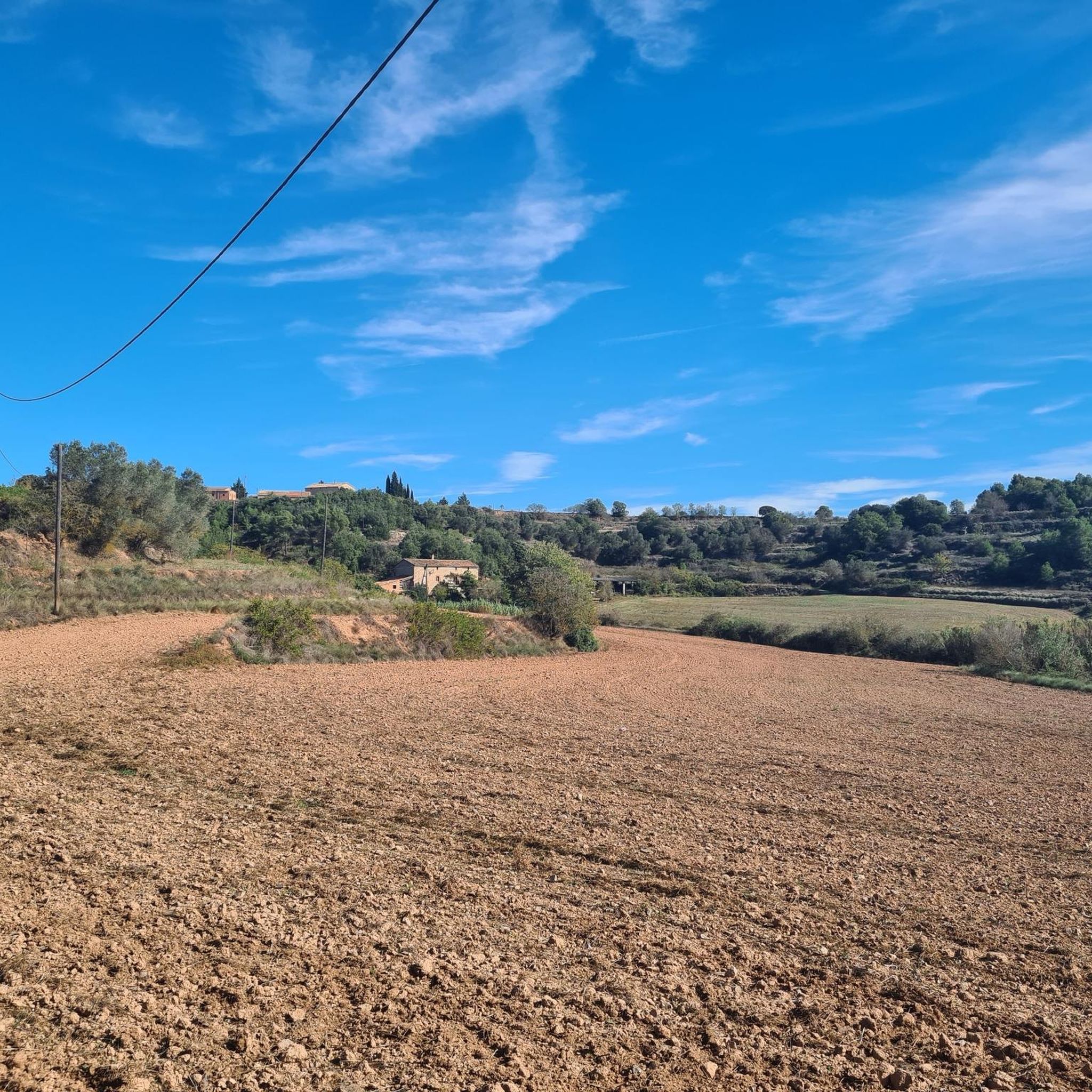
Road cycling routes in Espai D'Interès Natural De La Serra De Castelltallat traverse a landscape characterized by rolling hills, valleys, and forested areas. The region offers varied terrain suitable for road cyclists seeking both sustained climbs and scenic descents. This natural park environment provides a backdrop of natural features and open roads.
Best road cycling routes in Espai D'Interès Natural De La Serra De Castelltallat
- The most popular road cycling route is Convent de Sant Francesc – Ruins of the…
Last updated: July 28, 2026
64
riders
96.2km
06:04
1,830m
1,830m
Hard road ride. Very good fitness required. Some segments of this route may be unpaved and difficult to ride.
66
riders
46.8km
02:30
860m
860m
Moderate road ride. Good fitness required. Mostly well-paved surfaces and easy to ride.

Sign up for free
56
riders
37.7km
01:46
360m
360m
Moderate road ride. Good fitness required. Mostly well-paved surfaces and easy to ride.
19
riders
28.0km
01:25
400m
400m
Moderate road ride. Good fitness required. Mostly well-paved surfaces and easy to ride.
15
riders
51.6km
02:49
980m
980m
Hard road ride. Very good fitness required. Mostly well-paved surfaces and easy to ride.
Get access to more routes and recommendations from other explorers.
Sign up for free
Already have an account?
Our route recommendations are based on thousands of hikes, rides, and runs completed by other people on komoot.
Start today with a free account
Your next adventure awaits.
Login or Signup
Popular around Espai D'Interès Natural De La Serra De Castelltallat
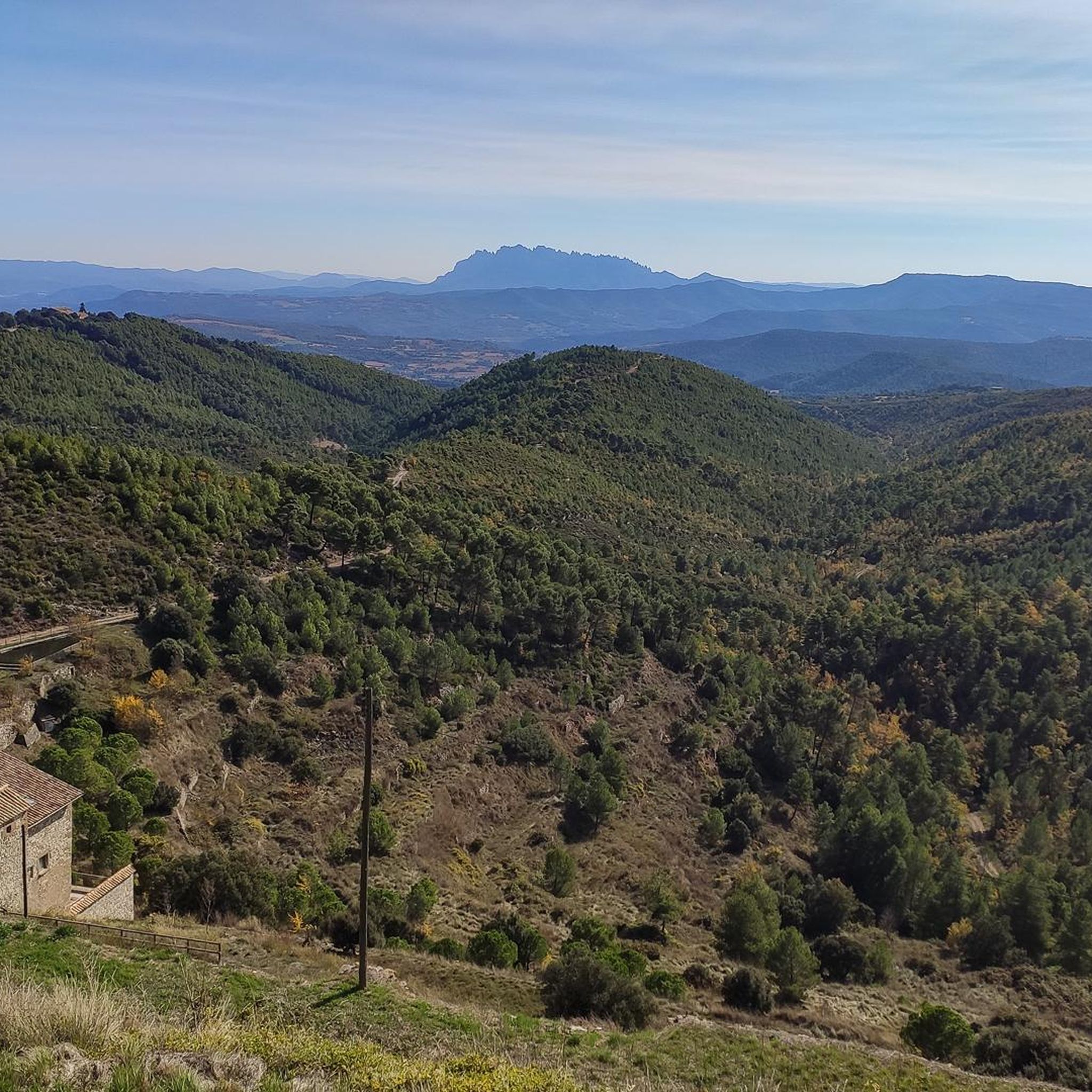
Cycling in Espai D'Interès Natural De La Serra De Castelltallat
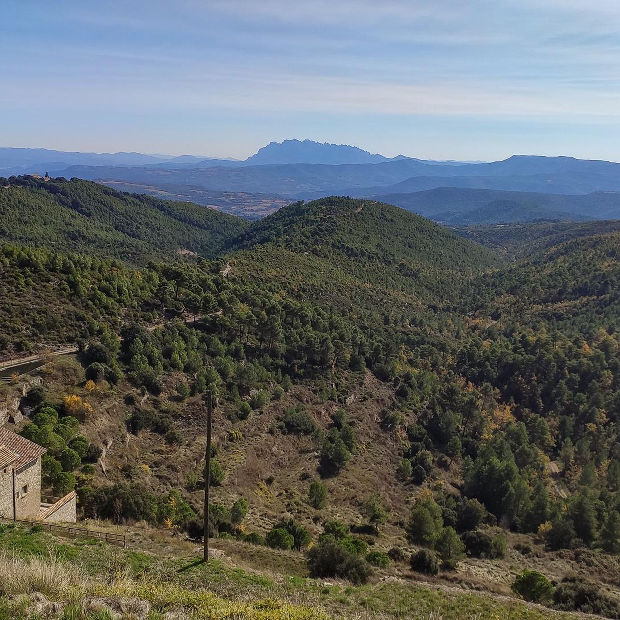
MTB Trails in Espai D'Interès Natural De La Serra De Castelltallat
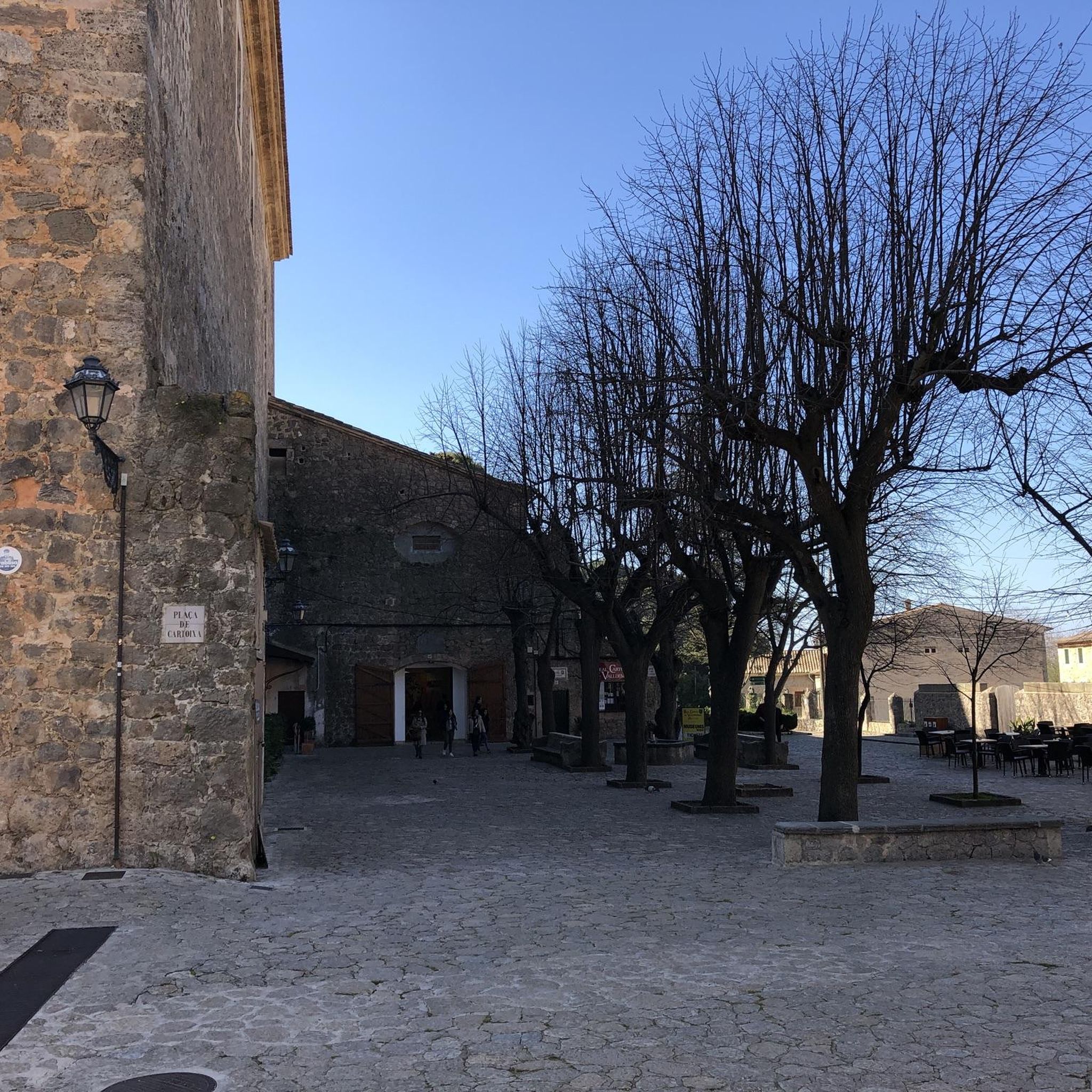
Gravel biking in Espai D'Interès Natural De La Serra De Castelltallat
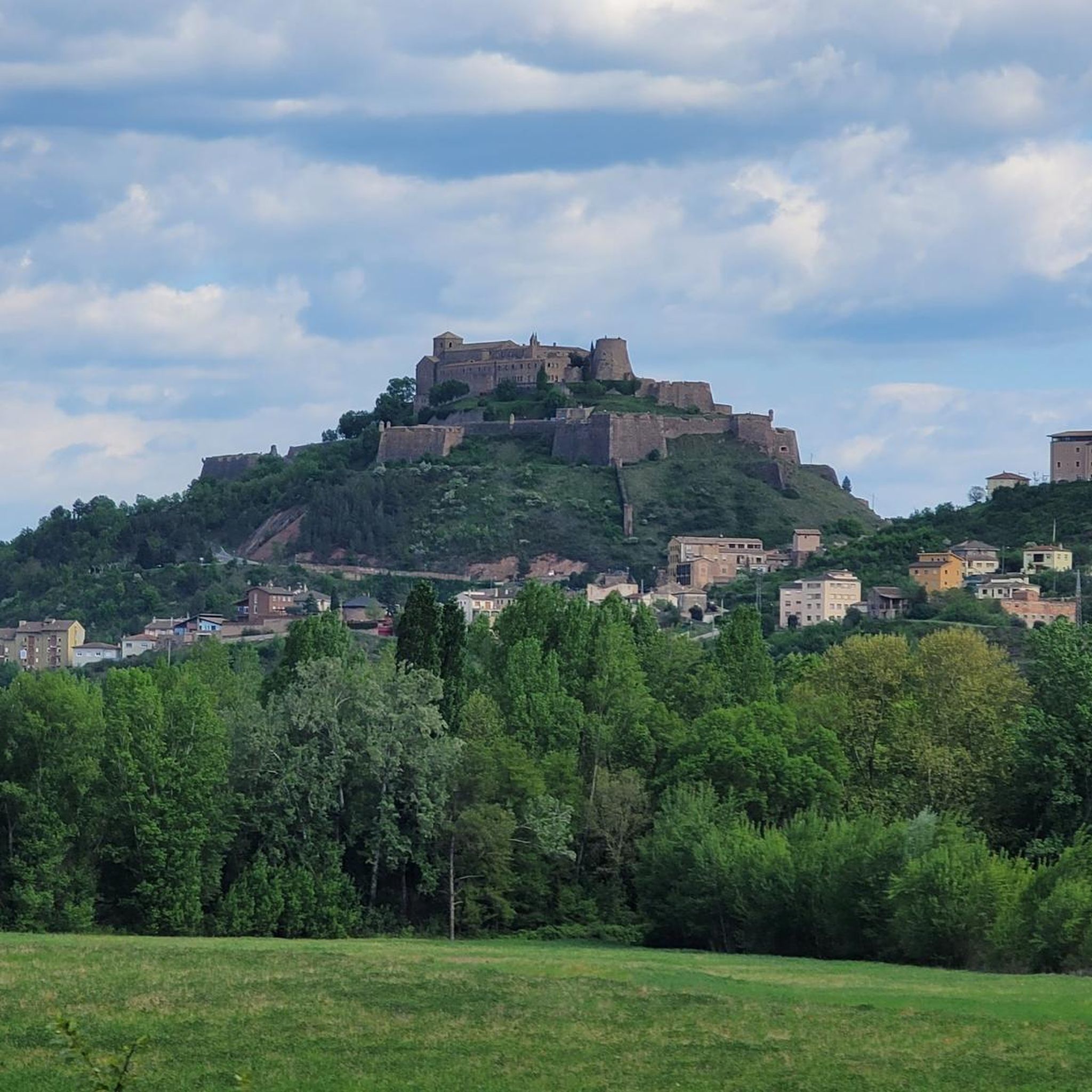
Running Trails in Espai D'Interès Natural De La Serra De Castelltallat
Hiking in Espai D'Interès Natural De La Serra De Castelltallat
Tips from the Community

The tower of the Ardèvol castle is located on top of a small rock, in the center of the town of the same name, next to the parish church of Santa Maria which was the parish church. The administrative center is near the sanctuary of Santa Maria de Pinós, at the top of the Serra de Pinós (931 m). Source: Wikipedia
0
0
Santa Maria de Pinós or Sanctuary of Pinós or Our Lady of Pinós is a church of the municipality of Pinós al (Solsonès) included in the Inventory of the Architectural Heritage of Catalonia. Source: Wikipedia
0
0
The Geographical Center of Catalonia is marked on top of a small hill 930.60 meters above sea level, located a short distance from the sanctuary of Santa Maria de Pinós, within the municipality of Pinós, in Solsonès. Source: Wikipedia
0
0

Space to relax and look towards Montserrat
0
0
Entrance to the Villa of St. Joan de Vilatorrada from the C-55, nearby you can find supermarkets and some bar-restaurants for refreshments. Entrance sign to a town that is a brevet control point.
1
0
Medieval bridge to cross the Cardener river in Manresa, capital of Bages. It is the access point to the Seu and old town, and also the departure point to the old Rajadell path. A very nice way to get to the city.
1
0

Very close to the Geographical Center of Catalonia.
0
0

Pont Nou de Manresa is one of the best-preserved medieval bridges in Catalonia, built at the beginning of the 14th century under the direction of the Barcelona architect Berenguer de Montagut, who also designed La Seu and Carme churches. It is a Gothic structure bridge that has a structure of eight semi-circular arches made of stone ashlars and with a completely flat track. Until the construction of the Pont Nou, there was only one bridge over the Cardener river on the edge of the city of Manresa, which became known as Pont Vell. Due to the growing economic and commercial weight of the city, and its situation as a communications node within the road network of Central Catalonia, the construction of a new bridge must have been considered important. In this way, Lleida's rural road would be provided with a stable crossing over the river. On March 1312, King James the Fair granted the city of Manresa the construction of a new bridge. In 1939 the retreating republican army blew up three of its arches, which were redone in 1940. During 2015, rehabilitation and structural reinforcement works were carried out on part of the bridge, and in 2022 they finished the restoration work on the other side.
1
0
Frequently Asked Questions
How many road cycling routes are available in Espai D'Interès Natural De La Serra De Castelltallat?
There are over 50 road cycling routes in Espai D'Interès Natural De La Serra De Castelltallat, offering a variety of distances and difficulty levels to explore the region's rolling hills and forested areas.
Are there road cycling routes suitable for beginners in Espai D'Interès Natural De La Serra De Castelltallat?
Yes, the region offers 5 easy road cycling routes. A good option for beginners is the PC St. Joan de Vilatorrada – Sant Sadurní Church (Callús) loop from FGC Súria (Mercaderies), which is 17.9 miles (28.8 km) long with minimal elevation gain.
What kind of challenges can advanced road cyclists expect in this region?
Advanced cyclists will find 31 difficult routes, characterized by significant elevation gains and longer distances. For instance, the Castelltallat Climb – Creu Grossa de Castelltallat loop from FGC Súria (Mercaderies) covers 63.9 miles (102.9 km) with over 1,800 meters of climbing, providing a substantial challenge.
Are there any loop road cycling routes in Espai D'Interès Natural De La Serra De Castelltallat?
Many of the road cycling routes in Espai D'Interès Natural De La Serra De Castelltallat are loops, allowing you to start and finish at the same point. An example is the Sant Sadurní Church (Callús) – Castelltallat Climb loop from FGC Súria (Mercaderies), a 26.9 miles (43.4 km) route through hilly terrain.
What are some notable landmarks or viewpoints along the road cycling routes?
Cyclists can encounter several interesting points. The Castelltallat Castle (astronomical observatory) and the Castelltallat Observatory and Church offer panoramic views and historical interest. The Castelltallat Climb itself is a significant feature, providing both a physical challenge and scenic rewards.
What is the best time of year for road biking in Espai D'Interès Natural De La Serra De Castelltallat?
The spring and autumn months generally offer the most pleasant conditions for road cycling in Espai D'Interès Natural De La Serra De Castelltallat, with milder temperatures and less extreme weather. Summers can be hot, while winters may bring cooler temperatures, especially at higher elevations.
Are there family-friendly road cycling options in Espai D'Interès Natural De La Serra De Castelltallat?
While many routes feature rolling hills and climbs, there are easier options that families might find suitable, particularly those with some cycling experience. Look for routes designated as 'easy' in the komoot guide, which typically have less elevation gain and shorter distances.
Where can I find parking for road cycling routes in Espai D'Interès Natural De La Serra De Castelltallat?
Many routes start from towns or villages like Súria or near specific attractions, where public parking is often available. It's advisable to check the starting point of your chosen route on komoot for specific parking recommendations or nearby facilities.
What do other road cyclists enjoy most about road cycling in Espai D'Interès Natural De La Serra De Castelltallat?
The area is highly rated by the komoot community, with an average score of 4.7 stars from over 50 reviews. Cyclists often praise the varied rural scenery, the challenging climbs, and the quiet country roads that wind through the natural park environment.
Are there any routes that pass through or near places to stop for refreshments?
Many routes in Espai D'Interès Natural De La Serra De Castelltallat connect smaller towns and villages. While specific cafes aren't listed for every route, planning your ride to pass through these settlements often provides opportunities for refreshments and breaks.
What is the typical length and duration of road cycling routes in the region?
Routes vary significantly. You can find shorter rides around 18 miles (29 km) taking about 1.5 hours, up to longer, more challenging routes like the Geographical Center of Catalonia – Sanctuary of El Miracle loop from La mineria: Les Mines d'Utgés, which is 59.7 miles (96.1 km) and can take over 6 hours to complete due to its substantial elevation gain.
Most popular routes in Espai D'Interès Natural De La Serra De Castelltallat
Most popular attractions in Espai D'Interès Natural De La Serra De Castelltallat

Get inspired with the komoot mobile app


Explore more
Browse the best Road cycling routes in other regions.
