The best running trails in Riserva Naturale Regionale Montagne Della Duchessa
4.8
(4)
314
runners
42
runs
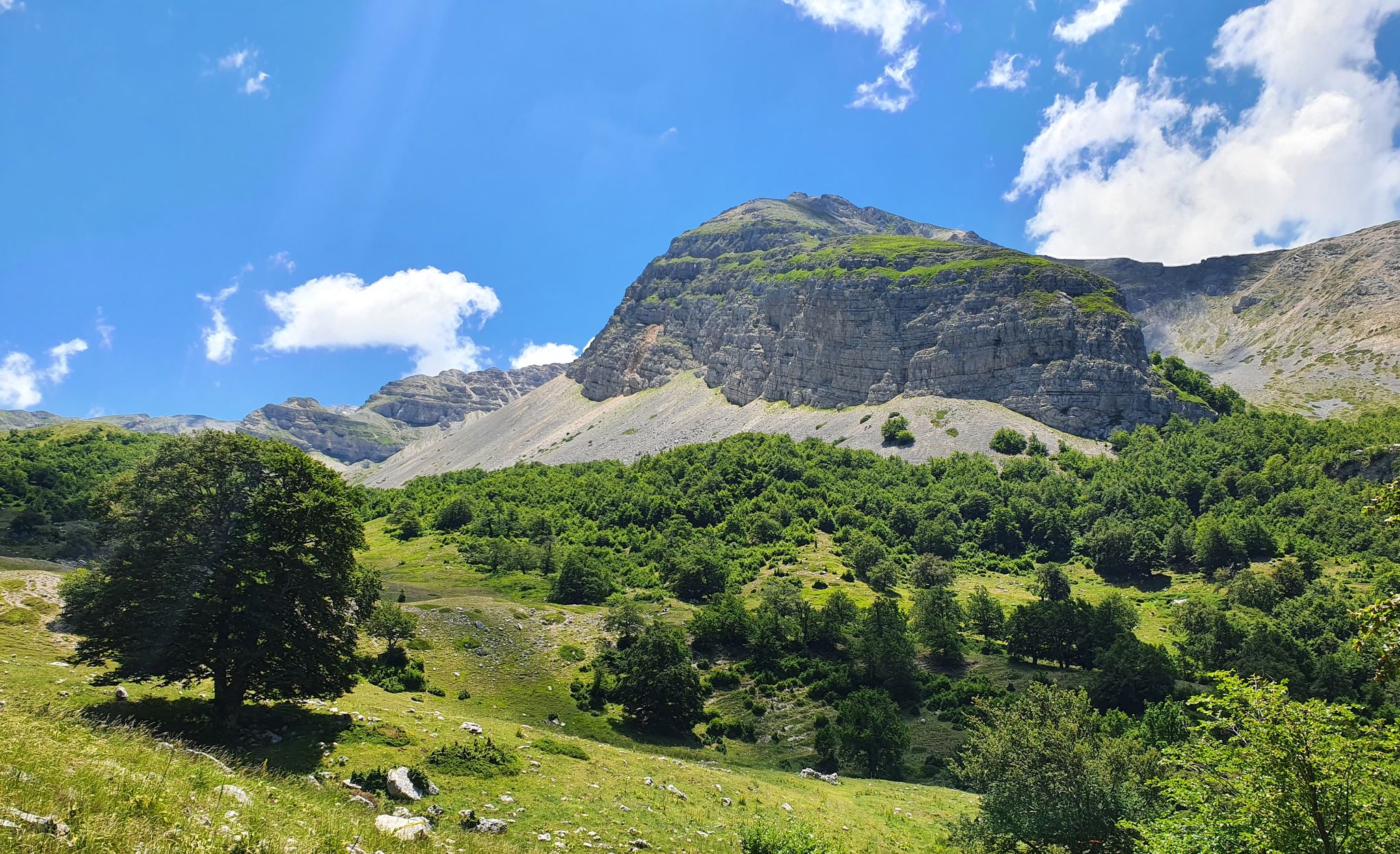
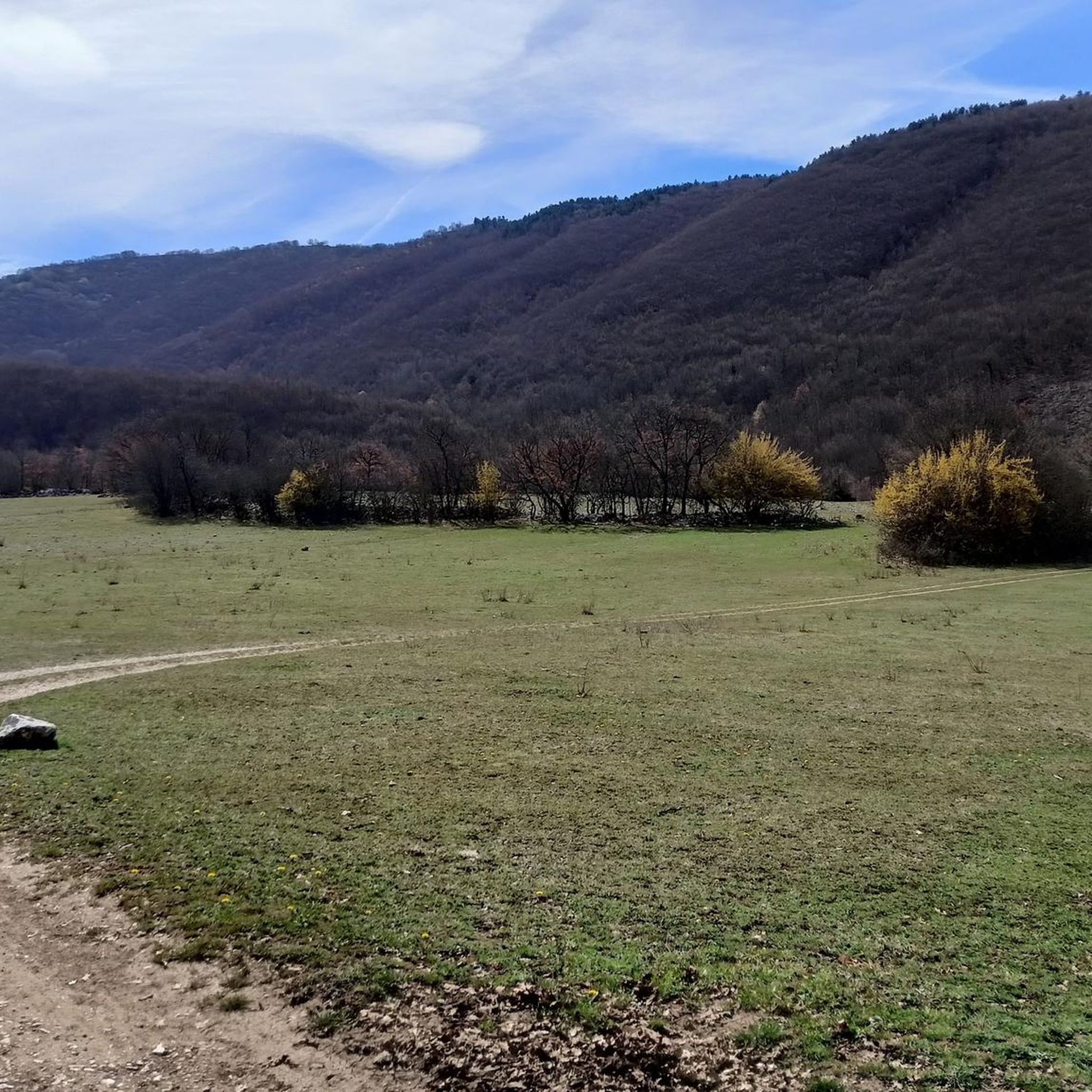
Jogging in Riserva Naturale Regionale Montagne Della Duchessa offers varied and wild mountainous terrain, characterized by significant altitude changes from 950 meters to over 2,000 meters. The landscape features extensive forests at lower elevations, transitioning to high-altitude prairies and rocky peaks. Deep valleys and impressive limestone formations also define the region, providing diverse running environments.
Best jogging routes in Riserva Naturale Regionale Montagne Della Duchessa
- The most popular jogging route is Climb to the Prato San Rocco refuge, a…
Last updated: August 1, 2026
2
runners
9.94km
01:28
460m
460m
Hard run. Very good fitness required. Mostly paved surfaces. Suitable for all skill levels.
5
runners
27.7km
05:13
1,850m
1,850m
Hard run. Very good fitness required. Sure-footedness, sturdy shoes and alpine experience required.

Sign up for free
4
runners
15.3km
02:06
670m
670m
Hard run. Very good fitness required. Mostly paved surfaces. Suitable for all skill levels.
5
runners
Hard run. Very good fitness required. Sure-footedness, sturdy shoes and alpine experience required.
5.0
(1)
56
runners
23.6km
03:52
1,180m
1,180m
Hard run. Very good fitness required. Sure-footedness, sturdy shoes and alpine experience required.
Get access to more routes and recommendations from other explorers.
Sign up for free
Already have an account?
Our route recommendations are based on thousands of hikes, rides, and runs completed by other people on komoot.
Start today with a free account
Your next adventure awaits.
Login or Signup
Popular around Riserva Naturale Regionale Montagne Della Duchessa
Cammino dei Briganti – hike in the footsteps of Marsica and Cicolano rebels in Italy
Hiking in Riserva Naturale Regionale Montagne Della Duchessa
MTB Trails in Riserva Naturale Regionale Montagne Della Duchessa
Road Cycling Routes in Riserva Naturale Regionale Montagne Della Duchessa
Cycling in Riserva Naturale Regionale Montagne Della Duchessa
Other adventures in Riserva Naturale Regionale Montagne Della Duchessa

Tips from the Community

Beautiful place with free guided tour. Call before visiting. A must if you are on the Cammino dei Briganti or nearby. For those who walk, there is also a fountain with water.
1
0

Arriving from a tough climb at about 1250 meters below Mount Velino, a long descent full of pebbles awaits you, be careful. At the end you will find this magnificent restored church from 1200
0
0

I recommend the polenta cooked by the manager, excellent
0
0

Very small village, surrounded by greenery and peace. Respect the place. Be careful, reaching it through Google Maps could lead you on a dirt road. Look for the paved road nearby.
1
0

beautiful and long circular excursion starting from the hamlet of Forme
2
0

The Church of Santa Maria in Valle Porclaneta dates back to the first half of the 11th century. A jewel on the slopes of Mount Velino towards the path that leads to Rosciolo dei Marsi. To visit it you need to contact Mrs. Agata. Inside it hides jewels such as the stone and stucco ambo with stories taken from the Bible created by Master Nicodemus, and the ciborium, also by Nicodemus, supported by four small columns and decorated with motifs influenced by Arab and Byzantine art. Even more unique is the wooden iconostasis, unique in the world for its workmanship and friezes.
0
0
The village of Cartore located on the slopes of the Montagne della Duchessa, coordinates 42.166595N, 13.310684E, at 944m. above sea level it is the only town within the Montagne della Duchessa Regional Nature Reserve. It is currently inhabited by only one resident family, the slow and progressive abandonment intensified after the Second World War with the emigration of the inhabitants towards the nearby towns (Santa Anatolia) and cities (Rome, L'Aquila, Avezzano). With the establishment of the Nature Reserve on 7 June 1990, a complex of old farmhouses was renovated by the Settima Comunità Montana Salto - Cicolano, which today houses the "Casali di Cartore - LA LOCANDA" structure where you can stay (the farmhouses offer rooms with breakfast, apartments with kitchen, sheets and towels and restaurant service), booking via the website www.casalidicartore.com https://www.riservaduchessa.it/cartore.html
1
0
Frequently Asked Questions
How many running routes are available in Riserva Naturale Regionale Montagne Della Duchessa?
The Riserva Naturale Regionale Montagne Della Duchessa offers a network of over 35 running routes. These trails cater to various skill levels, from easier paths through dense beech woods to challenging climbs towards high-altitude peaks.
What kind of terrain can I expect on the jogging trails in the reserve?
You can expect a varied and wild mountainous terrain. Trails range from shaded paths through extensive forests at lower elevations to high-altitude prairies and rugged rocky surfaces. The region is also characterized by deep valleys and impressive limestone formations, offering diverse running environments.
Are there any easy or beginner-friendly jogging paths in Montagne Della Duchessa?
While many routes are challenging, there is at least one easy jogging route available. The reserve's extensive network of trails includes options suitable for different ability levels, so you can find paths that match your experience.
Are there any circular jogging routes in the reserve?
Yes, there are several circular running routes. For example, the Rifugio Capanna Sevice loop from Cartore is a popular, albeit difficult, 8-mile path offering views of the mountainous terrain. Another challenging option is the Monte Velino – Monte di Sevice loop from Cartore, which leads through high-altitude peaks.
What natural features or landmarks can I see while jogging in the Montagne Della Duchessa?
You can encounter stunning natural features and landmarks. A highlight is the picturesque Duchess Lake, a glacial lake surrounded by meadows. Other points of interest include impressive limestone formations, dense beech woods, and high-altitude prairies. You might also spot ancient stone shepherds' huts, known as The Caparnie.
What do other runners say about the trails in Riserva Naturale Regionale Montagne Della Duchessa?
The running routes in Riserva Naturale Regionale Montagne Della Duchessa are highly rated by the komoot community, with an average score of 5.0 stars from over 3 reviews. More than 260 runners have used komoot to explore the varied and wild mountainous terrain, often praising the challenging ascents and panoramic views.
Can I bring my dog on the jogging trails in the reserve?
The Riserva Naturale Regionale Montagne Della Duchessa is generally dog-friendly, but it's always recommended to keep your dog on a leash to protect the local wildlife and ensure a pleasant experience for all visitors. Specific rules may apply in certain areas, so check local signage.
Are there family-friendly jogging options in the Montagne Della Duchessa?
While many trails are quite challenging, the reserve does offer varied trails, including some suitable for families. Look for routes at lower altitudes or those specifically marked as 'easy' to ensure a comfortable experience for all family members. The diverse environment provides opportunities for nature observation, which can be enjoyable for children.
Is public transport available to reach the Riserva Naturale Regionale Montagne Della Duchessa?
Information on direct public transport to the heart of the reserve can be limited. It's often more convenient to reach the area by car, especially to access specific trailheads. However, some smaller villages near the reserve might be accessible by local bus services, requiring further travel to reach the trails.
Where can I park my car when visiting the reserve for a run?
Parking is typically available near the main access points and trailheads, such as in the vicinity of Cartore or other hamlets like Corvaro. These areas serve as common starting points for exploring the reserve's extensive trail network.
Are there any places to rest or refuel along longer running routes?
For longer runs, you might find resting spots like the Gigi Panei Bivouac, which can serve as a potential resting point. Additionally, some routes, like the Climb to the Prato San Rocco refuge, lead to mountain refuges where you might find basic amenities.
What wildlife might I encounter while running in the Montagne Della Duchessa?
The reserve is rich in biodiversity, offering chances for wildlife observation. You might spot various species of flora and fauna, including deer, wolves, and occasionally the elusive Marsican bear. Keep an eye out, especially in quieter, forested areas.
Most popular routes in Riserva Naturale Regionale Montagne Della Duchessa
Most popular attractions in Riserva Naturale Regionale Montagne Della Duchessa

Get inspired with the komoot mobile app


Explore more
Browse the best Running Trails & Routes in other regions.
