The best running trails in Boschi Di Terne - Pupaggi
3.3
(4)
192
runners
10
runs
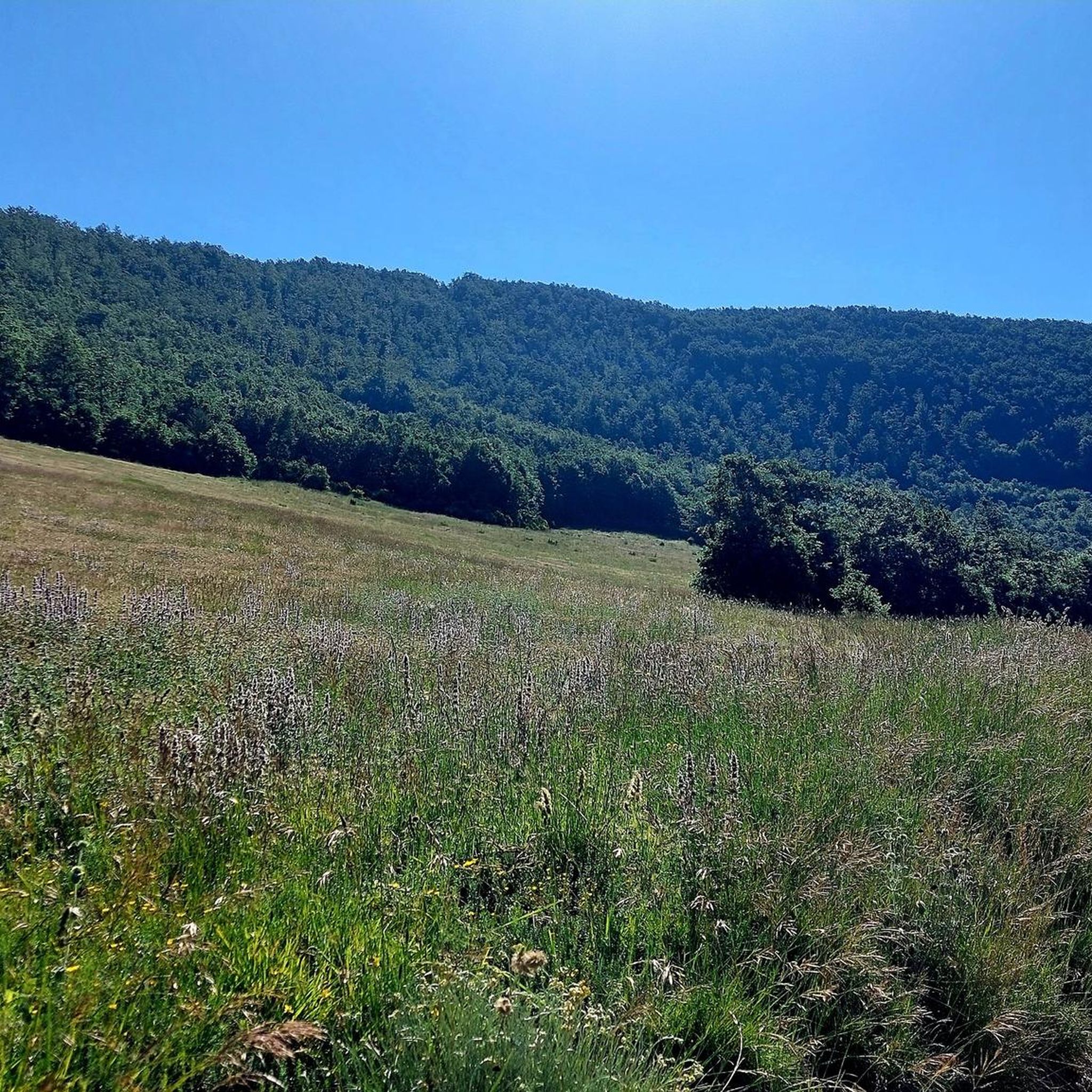
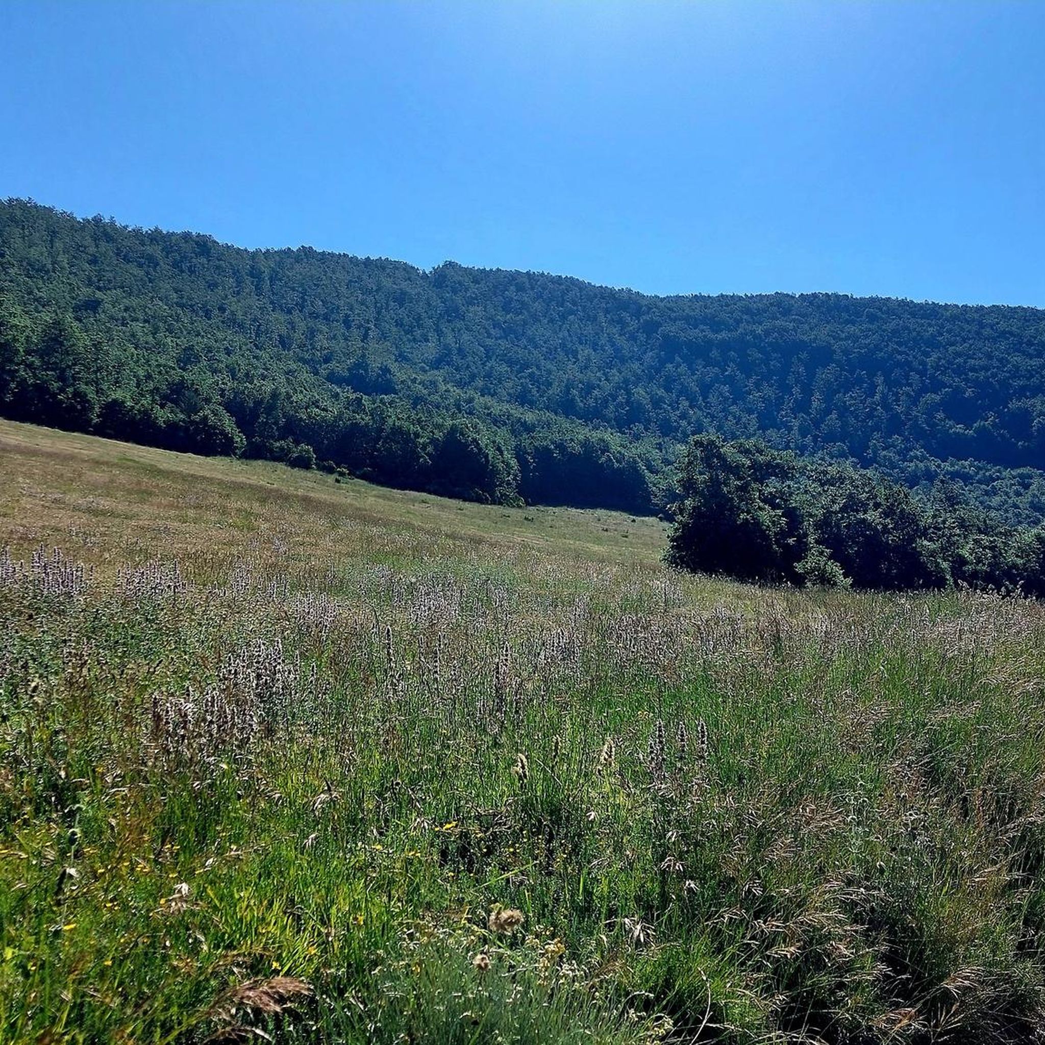
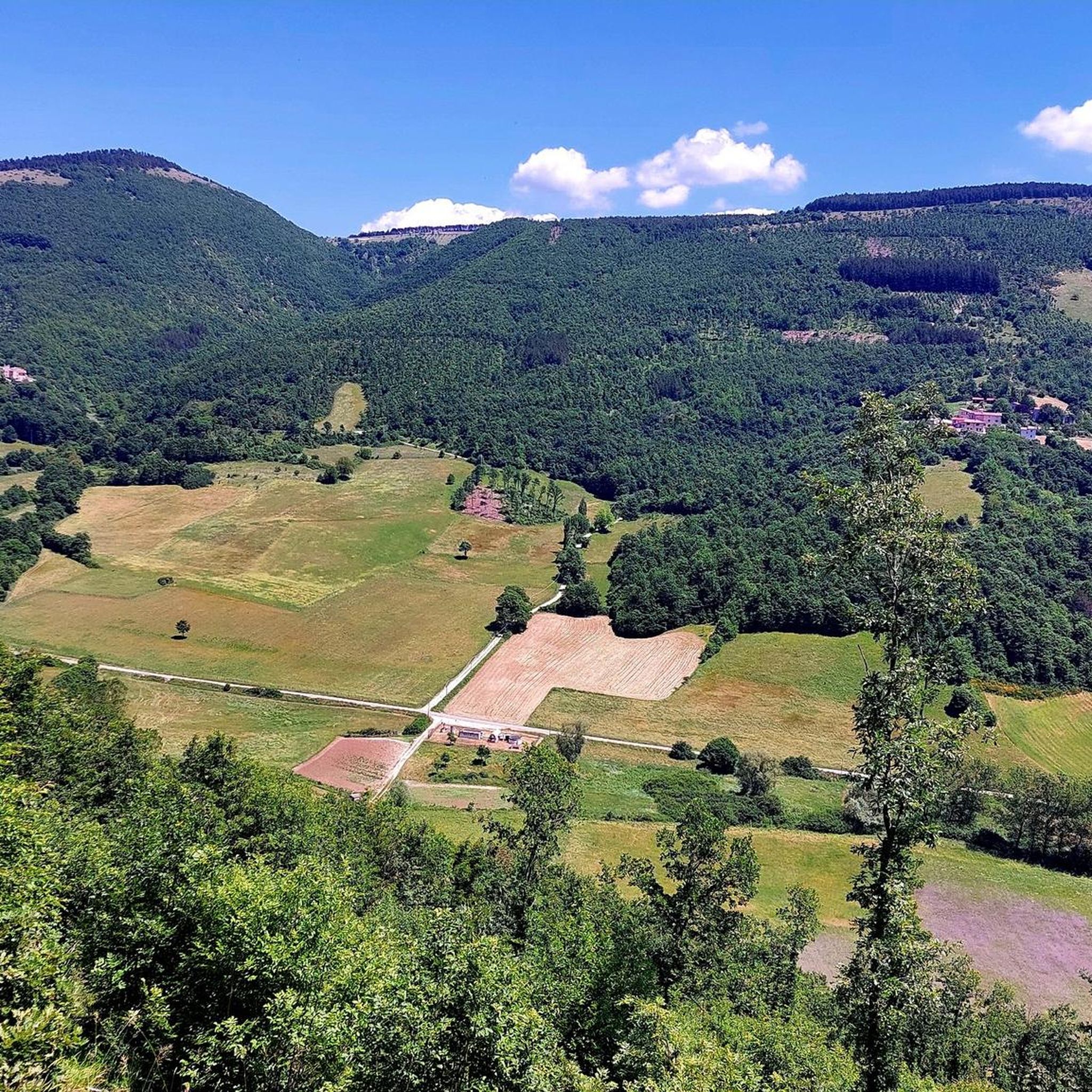
Jogging routes in Boschi Di Terne - Pupaggi traverse a diverse landscape characterized by an alternation of mountains and plains within Umbria's Valnerina region. The area features extensive networks of trails winding through forests, steep hillsides, and rugged terrain. Runners can expect varied elevations, with routes offering both challenging ascents and more moderate sections. The Nera River also contributes to the scenic backdrop of many running routes.
Best jogging routes in Boschi Di Terne - Pupaggi
- The most popular jogging…
Last updated: November 7, 2026
5.0
(1)
9
runners
17.6km
02:32
770m
770m
Hard run. Very good fitness required. Sure-footedness, sturdy shoes and alpine experience required.
13
runners
12.4km
01:52
470m
470m
Hard run. Very good fitness required. Sure-footedness, sturdy shoes and alpine experience required.

6
runners
12.6km
01:43
480m
480m
Hard run. Very good fitness required. Mostly runnable paths. Some sure-footedness required.
15
runners
11.1km
01:30
420m
420m
Hard run. Very good fitness required. Mostly runnable paths. Some sure-footedness required.
3
runners
3.46km
00:25
120m
120m
Moderate run. Good fitness required. Mostly paved surfaces.
Get access to more routes and recommendations from other explorers.
Already have an account?
Our route recommendations are based on thousands of hikes, rides, and runs completed by other people on komoot.
Start today with a free account
Your next adventure awaits.


Tips from the Community

Very long and panoramic path that starts near the Casette del Monte Brunette and ends at the CAI refuge of Pozzo di Mezzanotte. Recommended both on foot and by bike
0
0
Frequently Asked Questions
What kind of terrain can I expect on the running routes in Boschi Di Terne - Pupaggi?
The region, part of Umbria's Valnerina, offers a diverse landscape with an alternation of mountains and plains. You'll find extensive networks of trails winding through forests, steep hillsides, and rugged terrain. Runners should be prepared for varied elevations, including challenging ascents and more moderate sections, often with the Nera River contributing to the scenic backdrop.
Are there any easy or beginner-friendly running trails in Boschi Di Terne - Pupaggi?
While many routes in Boschi Di Terne - Pupaggi are rated as difficult due to significant elevation changes, the area does offer a variety of terrain. The region research indicates there are 'easily-accessible paths' suitable for all skill levels, alongside more demanding mountain runs. Currently, the komoot guide features 7 routes, with 1 rated as moderate and 6 as difficult, suggesting options for those seeking a challenge.
Can I find circular running routes in Boschi Di Terne - Pupaggi?
Yes, many of the running routes in Boschi Di Terne - Pupaggi are circular, allowing you to start and finish at the same point. Examples include the Monte Grande – Monte Maggiore loop from Spina Nuova and the Monte Serano loop from Le Casette, both offering a complete circuit through the scenic landscape.
What are some notable landmarks or natural features to see while running in the area?
Beyond the stunning mountain and riverine scenery of the Valnerina, you can encounter historical and cultural elements. The fortified village of Pupaggi itself is an 'enchanted place' with landmarks like the 13th-century Church of St. Sebastian, featuring Romanesque architecture and ancient frescoes. The region is also known for its 'enchanted landscapes' and vibrant seasonal colors.
Are the running routes in Boschi Di Terne - Pupaggi suitable for families?
The suitability for families depends on the specific route and the family's fitness level. While some trails require 'good fitness' or 'very good fitness' due to elevation changes, there are also 'easily-accessible paths' that might be more suitable for families looking for a less strenuous outing. It's best to check individual route details for distance and elevation before heading out.
Are dogs allowed on the running trails in Boschi Di Terne - Pupaggi?
Generally, Umbria is a dog-friendly region for outdoor activities. However, specific regulations for dogs on trails can vary, especially in protected areas. It's always recommended to keep dogs on a leash and ensure you clean up after them to preserve the natural environment. Check local signage for any specific restrictions on individual trails.
Where can I park when accessing the running trails in Boschi Di Terne - Pupaggi?
While specific parking locations for each trailhead are not detailed in the guide, the presence of routes starting 'from Spina Nuova', 'from Le Casette', 'from Cancelli', 'from Barri', and 'from Scopoli' suggests that parking options are available near these starting points. It's advisable to check the komoot route details or local maps for designated parking areas closest to your chosen running route.
What do other runners enjoy most about jogging in Boschi Di Terne - Pupaggi?
The running routes in Boschi Di Terne - Pupaggi are highly rated by the komoot community, with an average score of 4.3 stars from over 4 reviews. Runners often praise the diverse terrain, the challenging ascents, and the beautiful mountain and riverine scenery that defines the region. Over 170 runners have used komoot to explore these varied trails.
What is the best time of year to go running in Boschi Di Terne - Pupaggi?
Umbria's 'enchanted landscapes' display vibrant colors that transform with the seasons, offering a continuously changing and inspiring environment for runners. Spring and autumn generally offer pleasant temperatures and beautiful scenery, making them ideal. Summer can be warm, while winter conditions might vary, especially on higher elevations, so checking local weather is always recommended.
Are there any cafes or amenities near the running routes in Boschi Di Terne - Pupaggi?
The region includes small villages like Pupaggi, which has historical significance. While the guide doesn't list specific cafes directly on the routes, nearby towns such as Sellano and Verchiano, or even the village of Pupaggi itself, may offer amenities. For more information on the village of Pupaggi, you can visit Umbria Tourism.
How many running routes are available in Boschi Di Terne - Pupaggi?
There are 7 dedicated running routes currently available in Boschi Di Terne - Pupaggi on komoot. These routes offer a variety of distances and elevation gains, catering to different fitness levels, though most are rated as difficult.
What is the longest running route in Boschi Di Terne - Pupaggi?
The longest running route featured in the guide is the Monte Grande – Monte Maggiore loop from Spina Nuova, which spans approximately 17.9 km (11.1 miles) and involves significant elevation gain.
What is the average difficulty of running trails in this area?
The majority of running trails in Boschi Di Terne - Pupaggi are considered difficult. Out of the 7 routes listed, 6 are rated as difficult, and 1 is moderate. This indicates that most routes involve challenging ascents and descents, making them suitable for experienced runners or those seeking a strenuous workout.
Most popular routes in Boschi Di Terne - Pupaggi

Get inspired with the komoot mobile app


Explore more
Browse the best Running Trails & Routes in other regions.
