The best mountain hikes in Area Wilderness Croseraz-Val Bona
4.0
(3)
29
hikers
5
hikes
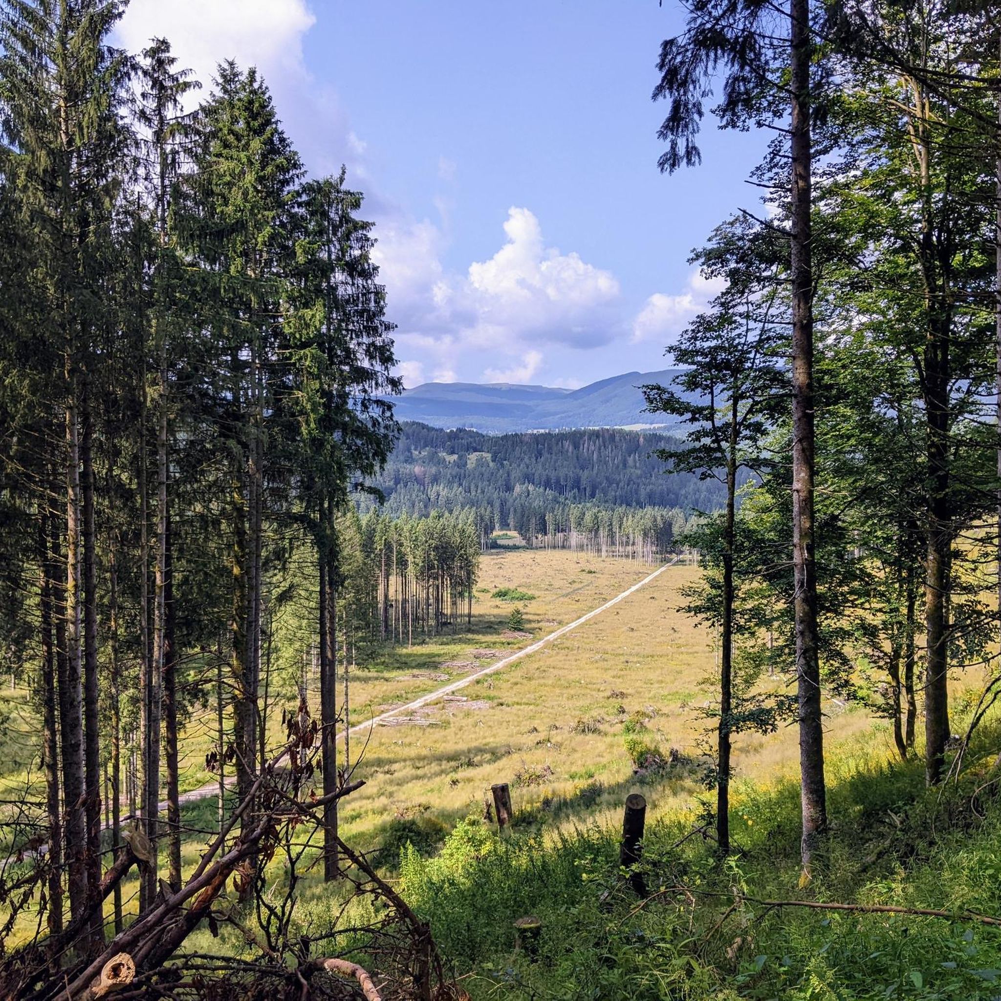
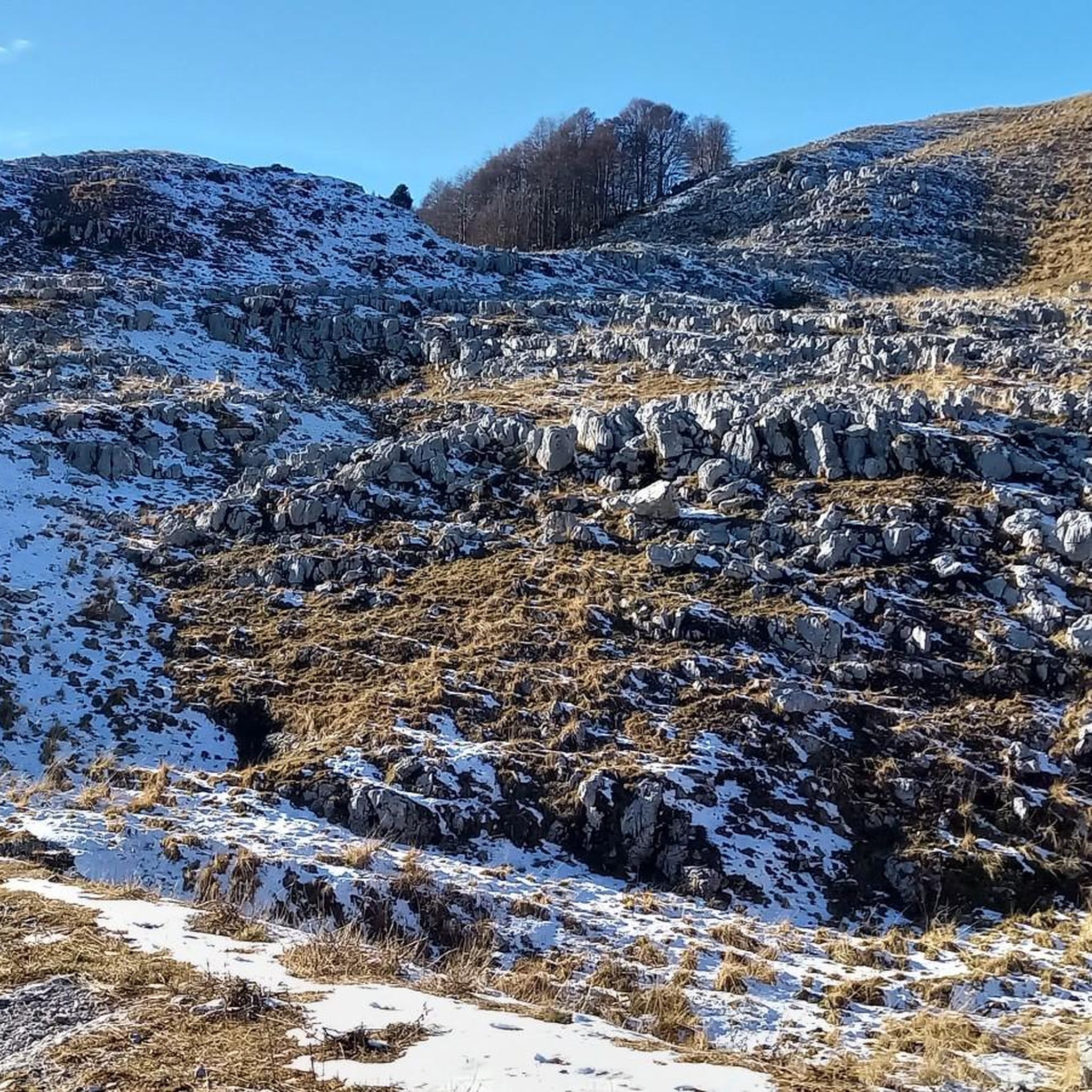
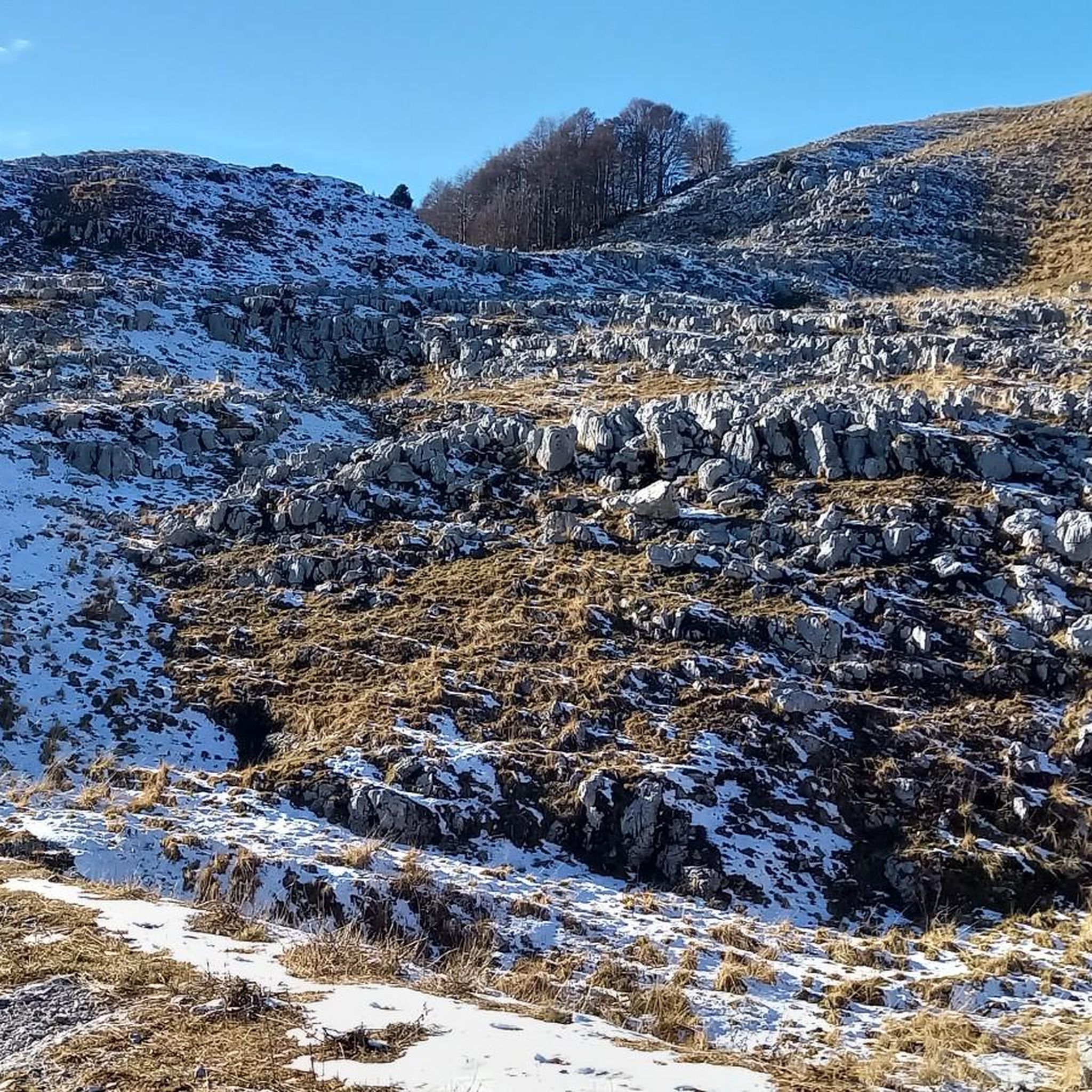
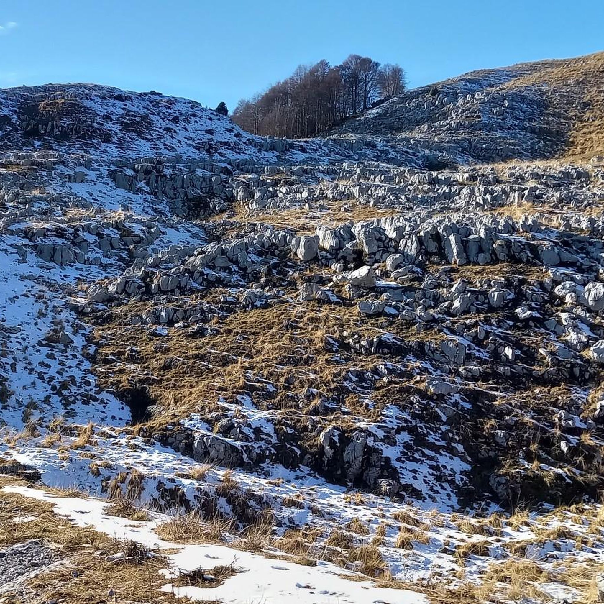
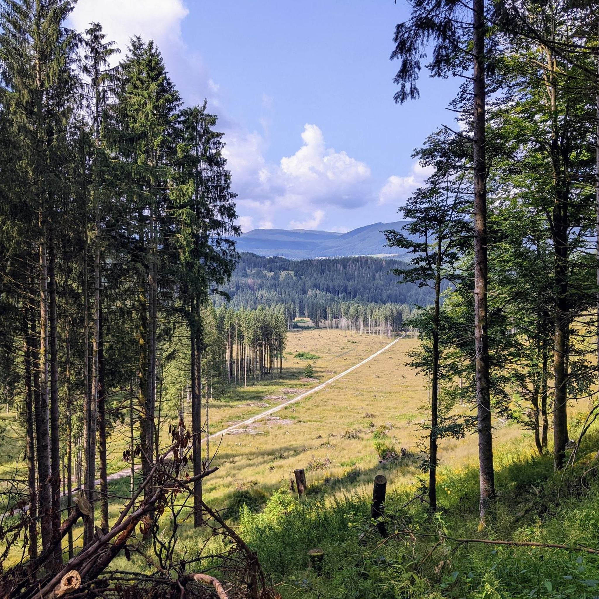
Mountaineering in Area Wilderness Croseraz-Val Bona offers diverse and challenging terrain within the Carnic Prealps of Italy. This wilderness area is characterized by its rugged beauty, featuring a distinctive karstic plateau at higher altitudes and the prominent Monte Croseraz, which reaches 1,694 meters above sea level. The landscape includes ridge traverses and sections of via ferrata, providing varied experiences for mountaineers.
Best mountaineering routes in Area Wilderness Croseraz-Val Bona
- The most popular mountaineering route is Cima dei Furlani – Cimon…
Last updated: July 5, 2026
3.0
(1)
14
hikers
7.98km
06:41
910m
910m
Hard mountaineering route. Very good fitness required. Sure-footedness, sturdy shoes and alpine experience required.
3
hikers
10.6km
05:42
970m
970m
Hard mountaineering route. Very good fitness required. Sure-footedness, sturdy shoes and alpine experience required.

Sign up for free
2
hikers
15.3km
08:10
1,310m
1,310m
Hard mountaineering route. Very good fitness required. Sure-footedness, sturdy shoes and alpine experience required.
1
hikers
13.0km
06:58
1,030m
1,030m
Hard mountaineering route. Very good fitness required. Sure-footedness, sturdy shoes and alpine experience required.
5.0
(2)
9
hikers
6.81km
04:50
970m
970m
Hard mountaineering route. Very good fitness required. Sure-footedness, sturdy shoes and alpine experience required.
Our route recommendations are based on thousands of hikes, rides, and runs completed by other people on komoot.
Start today with a free account
Your next adventure awaits.
Login or Signup
Popular around Area Wilderness Croseraz-Val Bona

Tips from the Community

The bivouac is well-maintained and in a great location. Unfortunately, I encountered a rainy day with low clouds.
0
0


crossroads of paths and excellent panorama
0
0

Very exposed ridge, not recommended for those who suffer from vertigo and have no experience with difficult routes
0
0

Abandoned and in very bad condition, unusable. There are some remains of building material. Too bad, it is located in a small and beautiful valley.
0
0

This refuge is crucial to enhance the Horse group.
1
1
Excellent base in the winter period.
0
0

Frequently Asked Questions
How many mountaineering routes are available in Area Wilderness Croseraz-Val Bona?
There are 10 mountaineering routes available in Area Wilderness Croseraz-Val Bona. These routes range in difficulty from moderate to difficult, offering diverse experiences for mountaineers.
What is the best time of year for mountaineering in Area Wilderness Croseraz-Val Bona?
The best time for mountaineering in Area Wilderness Croseraz-Val Bona is typically from late spring through early autumn. During these months, the weather is generally more stable, and trails are free of snow, making for safer and more enjoyable conditions. Always check local weather forecasts before heading out.
Are there routes suitable for beginners in Area Wilderness Croseraz-Val Bona?
While many routes in Area Wilderness Croseraz-Val Bona are challenging, there is one moderate route available. For example, the Cima delle Vacche loop from Tambre is a moderate option that offers a good introduction to the area's terrain without the extreme demands of the more difficult trails. Most routes here require good physical fitness and some alpine experience.
What kind of terrain can I expect on mountaineering routes in Area Wilderness Croseraz-Val Bona?
Mountaineering in Area Wilderness Croseraz-Val Bona features rugged beauty, characterized by a distinctive karstic plateau at higher altitudes. You can expect challenging mountain terrain, including ridge traverses and, on some routes, sections of via ferrata. The area is part of the Carnic Prealps, offering varied and demanding landscapes.
What do other mountaineers say about the routes in Area Wilderness Croseraz-Val Bona?
The mountaineering routes in Area Wilderness Croseraz-Val Bona are highly rated by the komoot community, with an average score of 4.5 stars from over 6 reviews. More than 90 mountaineers have explored this area, often praising the challenging terrain and the stunning views of the Carnic Prealps.
Are there any circular mountaineering routes in the area?
Yes, several circular routes are available for mountaineering in Area Wilderness Croseraz-Val Bona. Popular options include the Cima dei Furlani – Cimon del Cavallo loop from Piancavallo / Plancjaval, the Cima delle Vacche loop from Tambre, and the Rifugio Semenza – Bivacco Lastè loop from Tambre, all offering a return to your starting point.
Can I bring my dog on the mountaineering trails in Croseraz-Val Bona?
While the Area Wilderness Croseraz-Val Bona is a natural environment, specific rules regarding dogs on mountaineering trails can vary. It's always best to check local regulations, especially concerning protected wilderness areas and wildlife. Generally, dogs should be kept on a leash to protect local wildlife and ensure the safety of other hikers.
What wildlife might I encounter while mountaineering in Croseraz-Val Bona?
The Area Wilderness Croseraz-Val Bona is rich in wildlife. You might spot various species common to the Cansiglio region, including deer, roe deer, alpine hare, and marten. Bird enthusiasts can look out for capercaillie, black grouse, hazel grouse, rock partridge, and even golden eagles, especially in the higher altitudes.
Are there any permits required for mountaineering in Area Wilderness Croseraz-Val Bona?
Generally, permits are not required for hiking or mountaineering on established trails within the Area Wilderness Croseraz-Val Bona. However, for specific activities like climbing or accessing certain restricted areas, it's always advisable to consult local authorities or park management for any specific regulations or permit requirements that might apply.
How can I reach the starting points of mountaineering routes using public transport?
Public transport options to the Area Wilderness Croseraz-Val Bona, particularly to starting points like Piancavallo or Tambre, can be limited, especially outside of peak tourist seasons. It's recommended to research bus schedules from nearby towns in the Friuli Venezia Giulia region well in advance, as services may be infrequent. Consider checking local transport websites for the most up-to-date information.
Where can I find parking for mountaineering routes in Croseraz-Val Bona?
Parking for mountaineering routes in Croseraz-Val Bona is typically available at key access points such as Piancavallo or near trailheads in villages like Tambre. Look for designated parking areas, which may be free or require a small fee depending on the location and season. Always park responsibly and avoid obstructing access roads or private property.
What are some of the more challenging or advanced mountaineering routes available?
For experienced mountaineers seeking a challenge, routes like the Bivacco Lastè – Rifugio Semenza loop from Tambre or the Forcella Sestier loop from Area pic-nic offer significant elevation gain and rugged terrain. The region is known for trails corresponding to SAC (Swiss Alpine Club) ratings of 4-6, indicating technical difficulty and the need for alpine expertise, including potential ridge traverses and via ferrata sections.
How long do mountaineering routes in Val Bona typically take to complete?
The duration of mountaineering routes in Val Bona varies significantly based on difficulty and distance. For example, the moderate Cima delle Vacche loop from Tambre can take around 4 hours 21 minutes, while more difficult routes like the Cima dei Furlani – Cimon del Cavallo loop from Piancavallo / Plancjaval may require up to 6 hours 41 minutes due to significant elevation changes and challenging terrain. Always factor in your fitness level and weather conditions.
Most popular routes in Area Wilderness Croseraz-Val Bona

Get inspired with the komoot mobile app


Explore more
Browse the best Mountain Hikes & Routes in other regions.
