The best walks and hikes in Riserva Naturale Regionale Della Val Alba
4.5
(1976)
9,390
hikers
16
hikes
Hiking in Riserva Naturale Regionale Della Val Alba offers exploration of a mountain environment in the eastern Carnic Alps, bordering the Julian Alps and Prealps. The reserve features dramatic rocky ridges, cascading waterfalls, and crystal-clear streams like the Rio Alba and Rio Simon. Untamed woods cover much of the 3,000-hectare area, creating diverse landscapes and ecosystems. This transition zone provides varied terrain for hikers, from lower-altitude forests to higher mountain paths.
Best hiking trails in Riserva Naturale Regionale Della Val…
Last updated: August 3, 2026
4.9
(27)
121
hikers
10.9km
04:37
720m
720m
Moderate hike. Good fitness required. Mostly accessible paths. Sure-footedness required.
4.7
(9)
48
hikers
11.3km
06:07
1,020m
1,020m
Hard hike. Very good fitness required. Sure-footedness, sturdy shoes and alpine experience required.

Sign up for free
3.0
(2)
16
hikers
14.6km
06:52
1,000m
1,000m
Hard hike. Very good fitness required. Sure-footedness, sturdy shoes and alpine experience required.
4.8
(45)
266
hikers
Hard hike. Very good fitness required. Mostly accessible paths. Sure-footedness required.
4.8
(11)
47
hikers
12.6km
05:21
850m
850m
Hard hike. Very good fitness required. Sure-footedness, sturdy shoes and alpine experience required.
Get access to more routes and recommendations from other explorers.
Sign up for free
Already have an account?
Our route recommendations are based on thousands of hikes, rides, and runs completed by other people on komoot.
Start today with a free account
Your next adventure awaits.
Login or Signup
Popular around Riserva Naturale Regionale Della Val Alba

Tips from the Community

Rifugio Vualt. Excellently renovated bivouac with a stove, running water from the external fountain, large table with chairs, and a well-stocked pantry with pots and cutlery. Upstairs, 7 sleeping places with mattresses.
0
0
Very airy is the ridge that climbs to the summit of Creta dai Rusei.
0
0
The Vualt refuge is a beautiful farmhouse located at 1168m. above sea level, excellently restored and used as a bivouac. Inside there is an economic stove and beds. Outside there is a water source.
0
0
A glimpse of life inside the hospital barracks.
0
0
Former war hospital in Val Alba. Placed to support the second front line on the long crest of Chiavals, Zuc dal Bor.
1
0

the path I took is not marked at all, thank goodness for the GPS otherwise I would not have gotten to the bottom of it especially the first stretch, probably no one passes by and the whole path up to the saddle bivio x rif. bianchi is not in good condition, not recommended if you don't have alpine experience
0
0
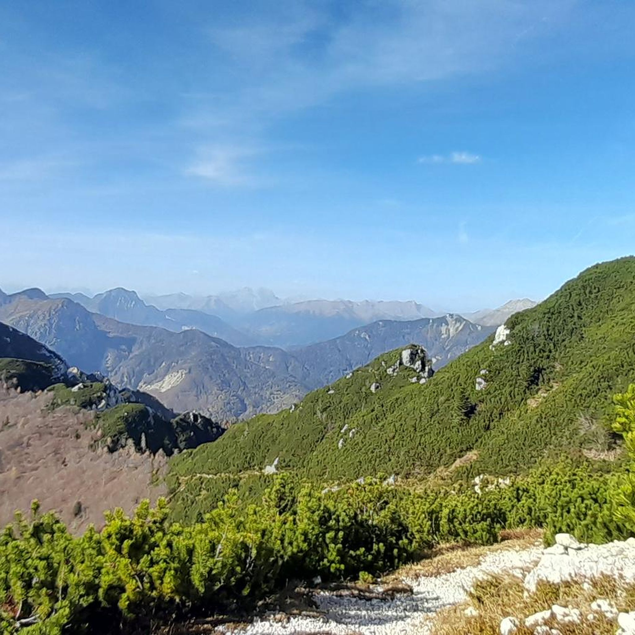
From the top you can enjoy a 360° panorama of the mountains of the Carnic and Julian Alps.
1
0
Beautiful bivouac with the possibility of overnight stay.
1
0
Frequently Asked Questions
How many hiking trails are available in Riserva Naturale Regionale Della Val Alba?
Riserva Naturale Regionale Della Val Alba offers a diverse network of over 10 hiking trails. These routes cater to various skill levels, ranging from moderate forest paths to more challenging mountain ascents.
What kind of terrain can I expect when hiking in Val Alba?
The reserve is characterized by a dramatic natural setting, featuring spectacular rocky ridges, untamed woods, and crystal-clear streams like the Rio Alba and Rio Simon. You'll find varied terrain, from lower-altitude forests to higher mountain paths with dolomitic limestone views.
Are there hiking options for beginners or those looking for easy walks?
While many trails involve significant elevation, the reserve does offer paths suitable for various levels. For a moderate experience, consider routes that explore the lower altitudes and forest paths. Currently, there are no trails specifically rated as 'easy' in our guide, but moderate options like the Monte Vualt Loop Trail provide a good balance.
Are there any circular hiking routes in Riserva Naturale Regionale Della Val Alba?
Yes, several routes in the reserve are circular, allowing you to start and end at the same point. Examples include the Monte Vualt Loop Trail and the more challenging Monte Chiavals and Bianchi Bivouac loop.
What natural features or landmarks can I see along the trails?
Hikers can discover a wealth of natural beauty and landmarks. Expect to see cascading waterfalls, crystal-clear streams, and dramatic rocky ridges. Notable points of interest include Rifugio Vualt, Trail to Bivacco Bianchi, and the historical Cjasut dal Scior (World War I Alpine Outpost).
Are there any mountain refuges or bivouacs for resting or overnight stays?
Yes, the reserve provides several shelters. You can find Rifugio Vualt, which offers splendid valley views, and Cjasùt dal Sciôr (also known as Cjasut dal Sior) at 1752 meters, providing panoramic positions near Mount Vualt. Bivacco Bianchi is another option for those on more challenging routes.
Does the reserve have any historical points of interest?
Yes, Riserva Naturale Regionale Della Val Alba holds remnants of human activity, including military structures from the First World War. You can explore sites like the Ex Military Hospital of Val Alba and the Cjasut dal Scior (World War I Alpine Outpost), as well as old rural architectures and remains of lime kilns.
Is Riserva Naturale Regionale Della Val Alba suitable for families with children?
The reserve offers numerous paths suitable for all, including families. While some routes are challenging, there are easier walks that allow families to explore the natural beauty and historical elements. Guided visits and educational activities are also available, enhancing the experience for younger visitors.
Is there parking available at the trailheads?
Yes, the reserve is accessible through charming villages like Dordolla, Pradis, and Ovedasso, which offer ample parking facilities to accommodate visitors.
When is the best time of year to go hiking in Val Alba?
The best time for hiking in Val Alba is typically during the warmer months, from late spring to early autumn, when trails are clear of snow and weather conditions are most favorable for exploring the mountain environment. This allows full enjoyment of the diverse flora and fauna.
Is winter hiking possible in Riserva Naturale Regionale Della Val Alba?
Yes, beyond hiking, the reserve is also known for snowshoe tours during winter. While some higher-altitude trails may be challenging or inaccessible due to snow, specific routes are suitable for winter exploration, offering a different perspective of the snowy landscapes.
What do other hikers appreciate most about Riserva Naturale Regionale Della Val Alba?
The area is highly rated by the komoot community, with an average score of 4.5 stars from over 200 reviews. Reviewers often praise the remarkably unspoiled mountain environment, the diverse landscapes, and the dramatic natural setting featuring rocky ridges, waterfalls, and clear streams.
Most popular routes in Riserva Naturale Regionale Della Val Alba
Most popular attractions in Riserva Naturale Regionale Della Val Alba

Get inspired with the komoot mobile app


Explore more
Browse the best Hikes in other regions.
