The best mountain hikes in Riserva Regionale Scanuppia
4.7
(9)
55
hikers
2
hikes
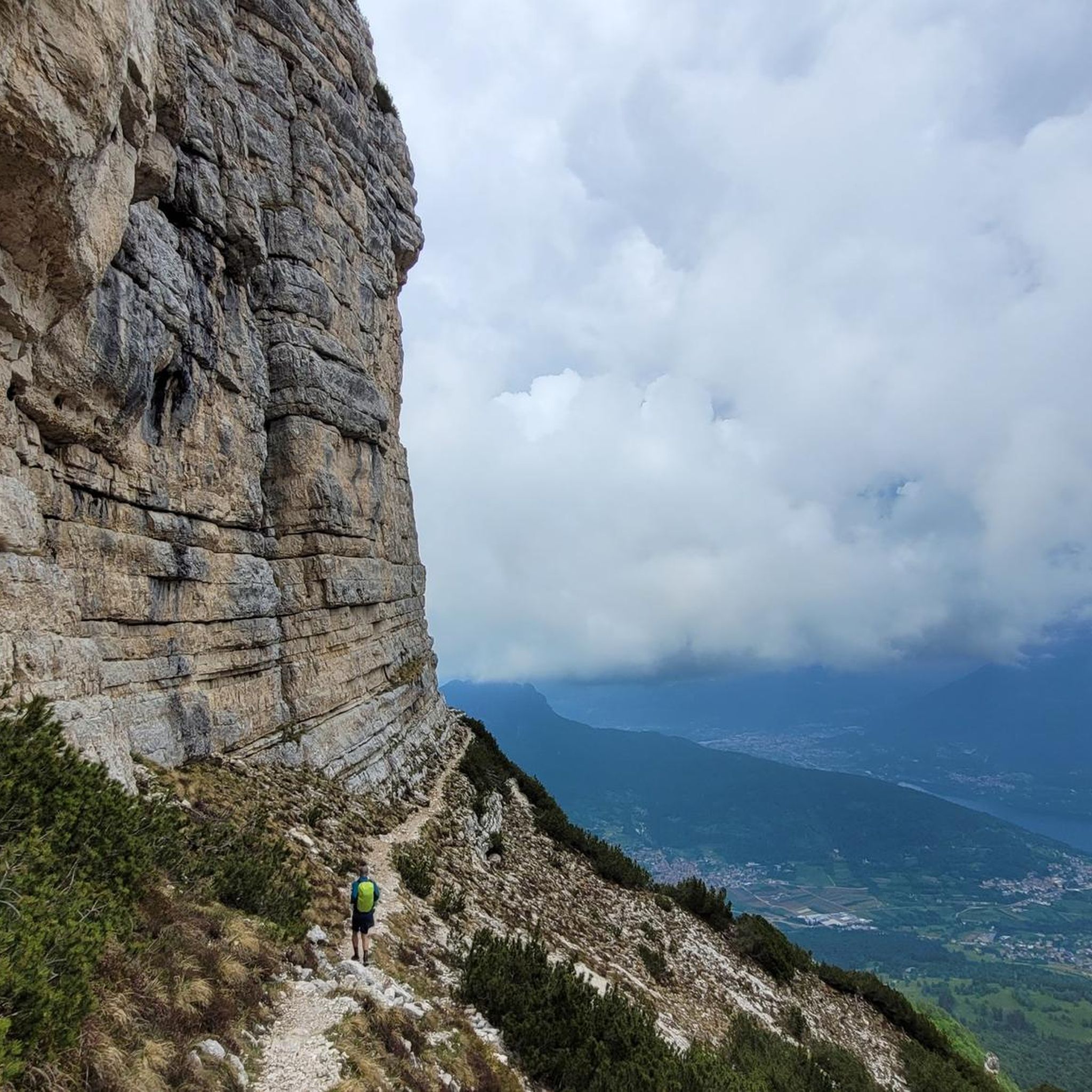
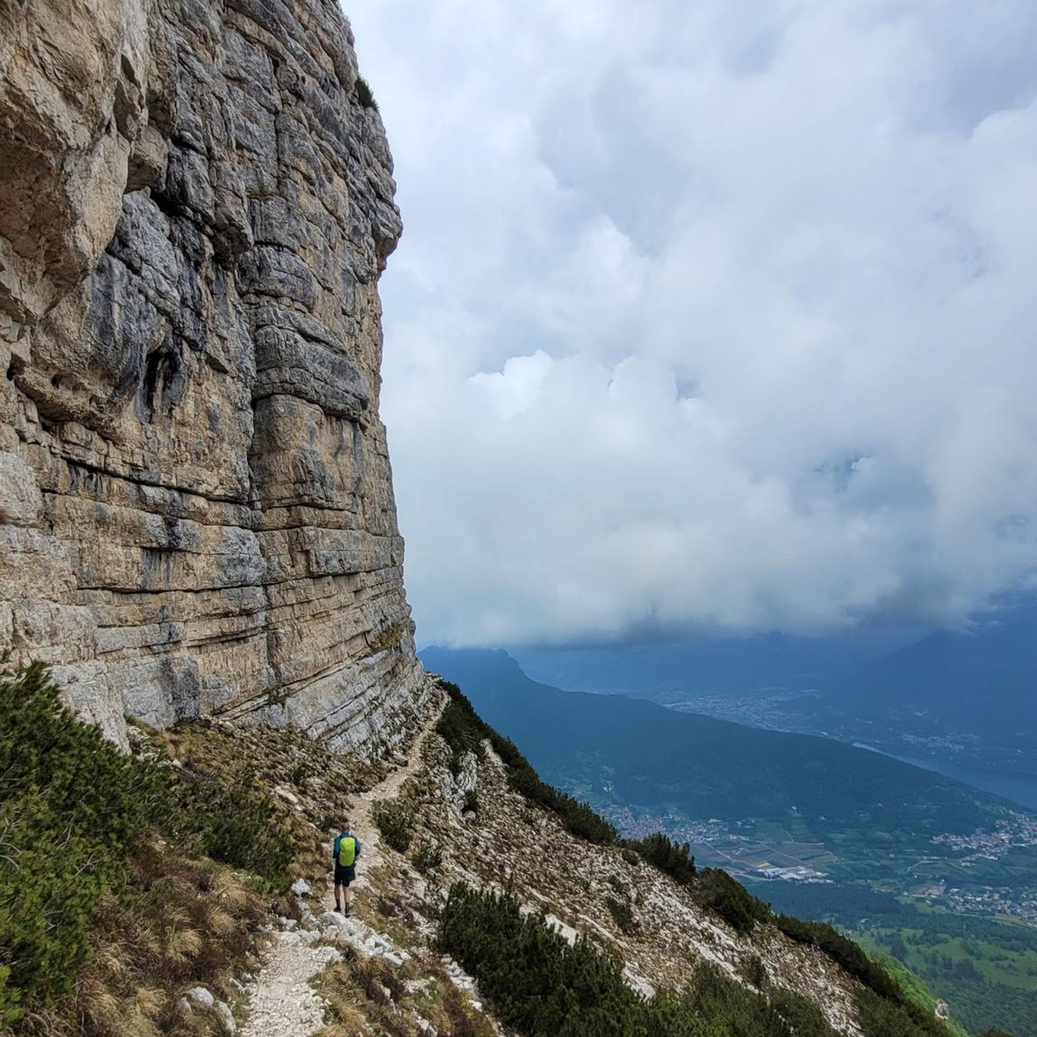
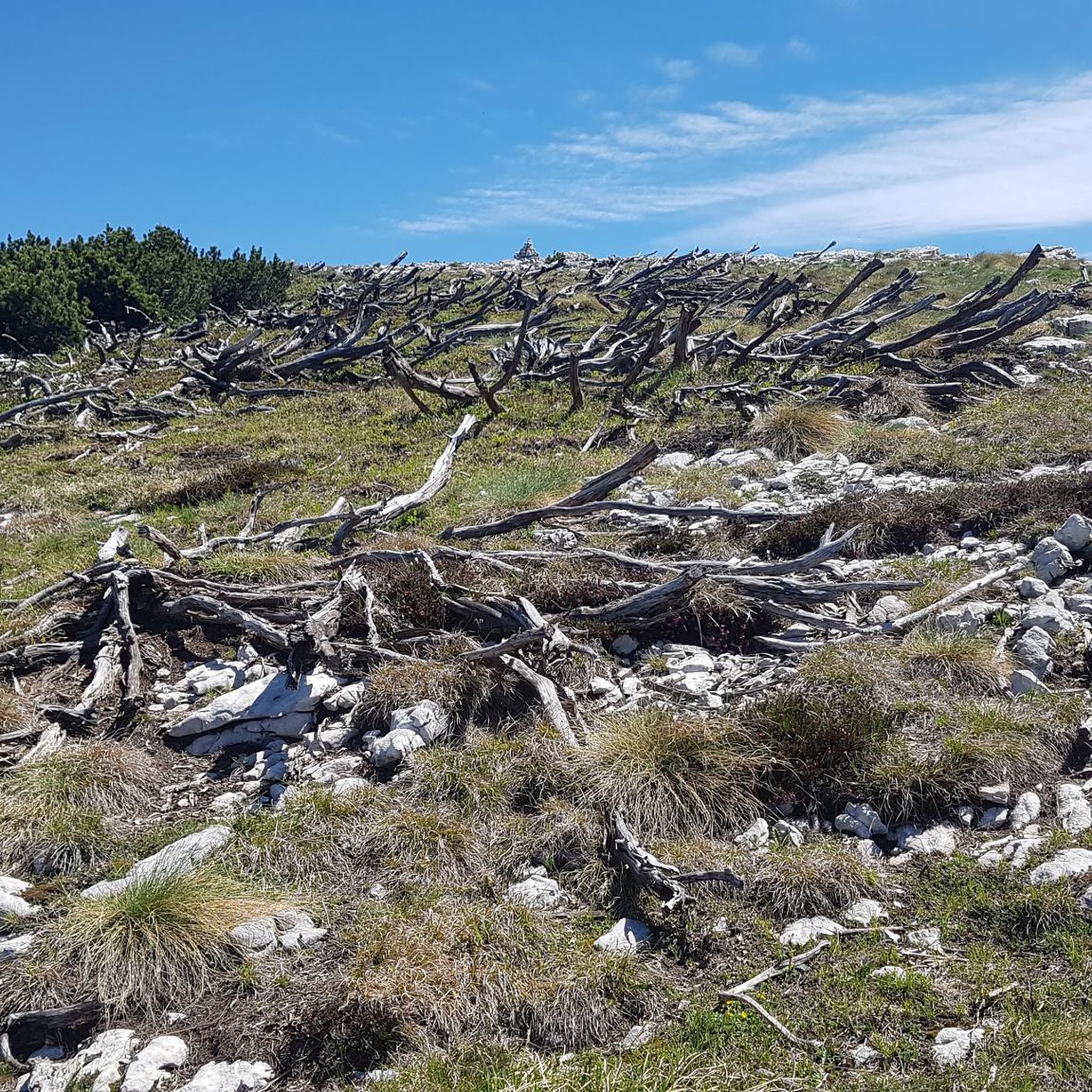
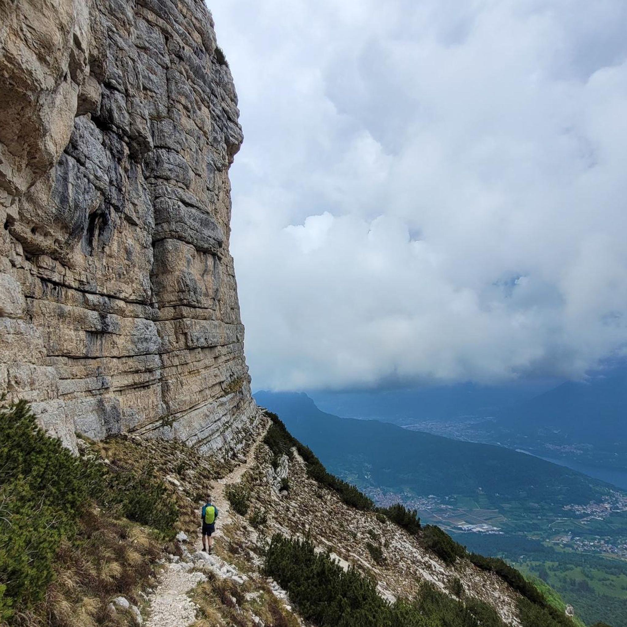
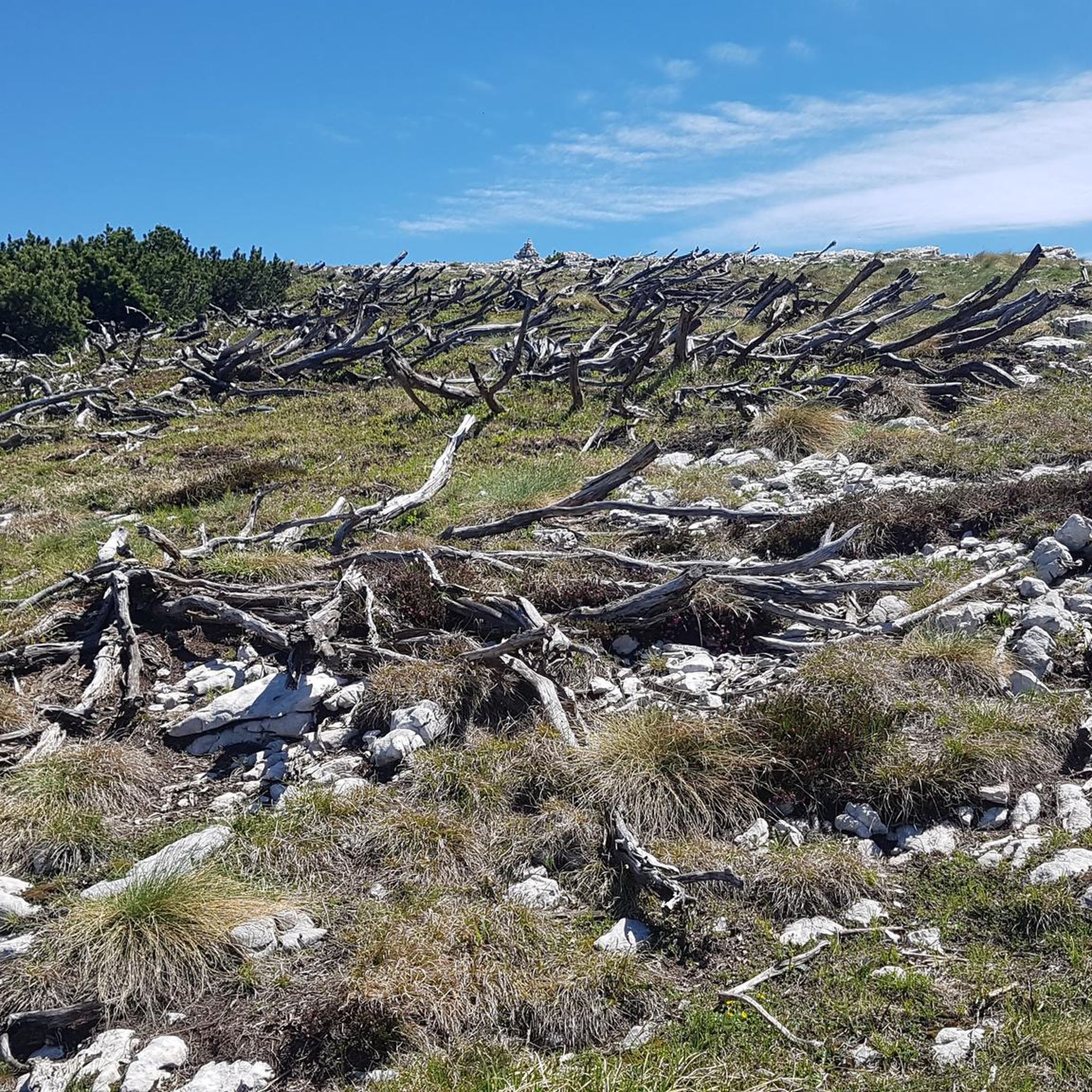
Mountaineering routes in Riserva Regionale Scanuppia are characterized by varied mountainous terrain within the Trentino region. The landscape features include dense forests, scenic gorges, and elevated viewpoints offering vistas of surrounding valleys and lakes. Routes often involve significant elevation changes, providing a challenging experience for mountaineers.
Best mountaineering routes in Riserva Regionale Scanuppia
- The most popular mountaineering route is Valimpach Via Ferrata – Cliffside View loop from Centa San Nicolò, a moderate 4.2 miles (6.7 km) trail that takes…
Last updated: August 2, 2026
4.3
(6)
30
hikers
6.70km
02:34
440m
440m
Moderate mountaineering route. Good fitness required. Easily-accessible paths. Suitable for all skill levels.
6
hikers
15.0km
05:51
940m
940m
Hard mountaineering route. Very good fitness required. Mostly accessible paths. Sure-footedness required.

Sign up for free
5
hikers
8.51km
04:04
690m
690m
Hard mountaineering route. Good fitness required. Sure-footedness, sturdy shoes and alpine experience required.
5.0
(3)
15
hikers
11.3km
05:58
910m
910m
Hard mountaineering route. Very good fitness required. Sure-footedness, sturdy shoes and alpine experience required.
Our route recommendations are based on thousands of hikes, rides, and runs completed by other people on komoot.
Start today with a free account
Your next adventure awaits.
Login or Signup

Tips from the Community

Today started from P3, cooling under the bushes and trees along the stream, little water at 1/8 but still small waterfalls to cool off under. The end offers beautiful rock formations and strangely several nudists!?
0
0
rideable up to halfway but then the lower part is completely unrideable. also pushing is rather dangerous. Should really only be ridden by full pros.
0
0

The stairs for MTB transport are not suitable for E-MTBs as they are very steep, partially slippery and the steps are quite high....
0
0

The suggestive and old connecting road to the village of Valle. Recommended for descent
0
0
The satisfying plateau where you forget the effort of the Kaiserjegerstrasse climb
0
0

From the Virti command post to the 1000-meter altitude line, nicely rideable from here into the gorge, Vall Centa and to the mill at least S5, continuously unrideable. Difficult to walk even without a bike!
1
0

☠️☠️☠️ The trail is in poor condition and largely unrideable. Even pushing it is dangerous; you would have to shoulder and carry the bike. There are (used to be) stairs, but they are now very broken. The descent over 600m of elevation gain in 6km, with gradients of 25-30% at times, is brutal. For inexperienced riders, the trail is (life-)threatening, even on foot.
0
0

Not suitable for e-MTBs; very dangerous route. Danger to life!
0
0
Frequently Asked Questions
What types of mountaineering routes can I find in Riserva Regionale Scanuppia?
Riserva Regionale Scanuppia offers a variety of mountaineering routes characterized by mountainous terrain, dense forests, and scenic gorges. You'll find options ranging from moderate to difficult, including routes with via ferratas and elevated viewpoints.
Are there any beginner-friendly mountaineering routes in Riserva Regionale Scanuppia?
While there are no routes explicitly graded as 'easy,' several moderate options are suitable for those with some mountaineering experience. For example, the Valimpach Via Ferrata – Cliffside View loop from Centa San Nicolò is a moderate 6.7 km route that takes about 2 hours 34 minutes, offering a taste of the region's unique features.
How long do mountaineering trails typically take in Riserva Regionale Scanuppia?
The duration of mountaineering trails in Riserva Regionale Scanuppia varies depending on the route's length and difficulty. Moderate routes, such as the Trail in the Gorge loop from Piazza (8.1 km), can take around 3 hours 17 minutes. More challenging routes, like the Sella della Marzola loop from Povo (14.8 km), may require closer to 5 hours 46 minutes.
Are there any circular mountaineering routes available?
Yes, many of the mountaineering routes in Riserva Regionale Scanuppia are designed as loops. For instance, the View of Lake Caldonazzo – Scenic Forest Ascent Trail loop from Calceranica al Lago is a moderate 10.7 km circular route offering beautiful lake views and a forest ascent.
What is the best time of year for mountaineering in Riserva Regionale Scanuppia?
Generally, the warmer months from late spring to early autumn (May to October) are ideal for mountaineering in Riserva Regionale Scanuppia. During this period, trails are typically free of snow, and weather conditions are more stable, allowing for better visibility and safer passage on higher elevation routes.
What should I wear for mountaineering in this region?
Given the varied mountainous terrain and potential for significant elevation changes, it's essential to wear appropriate mountaineering gear. This includes sturdy hiking boots with good ankle support, layered clothing to adapt to changing temperatures, waterproof outer layers, and sun protection. Always check the weather forecast before heading out.
Are there any challenging or advanced mountaineering trails?
Yes, Riserva Regionale Scanuppia offers difficult routes for experienced mountaineers. The Sella della Marzola loop from Povo is a demanding 14.8 km trail with significant elevation gain, leading through mountainous terrain. Another challenging option is the Tamazol – Doss Tondo loop from Caldonazzo, an 8.5 km difficult route.
What do other mountaineers enjoy most about the routes in Riserva Regionale Scanuppia?
The mountaineering routes in Riserva Regionale Scanuppia are highly rated by the komoot community, with an average score of 4.8 stars from more than 10 reviews. Reviewers often praise the diverse landscape, including the scenic gorges, dense forests, and the rewarding elevated viewpoints that offer expansive vistas of the surrounding valleys and lakes.
Are there routes with views of lakes?
Yes, some routes provide stunning views of the nearby lakes. The View of Lake Caldonazzo – Scenic Forest Ascent Trail loop from Calceranica al Lago is a moderate route specifically designed to offer picturesque views of Lake Caldonazzo during its forest ascent.
How many mountaineering routes are there in Riserva Regionale Scanuppia?
There are currently 4 mountaineering routes documented in Riserva Regionale Scanuppia, offering a mix of moderate and difficult options for exploration.
Can I expect to see any unique natural features on these routes?
Absolutely. The region is known for its varied mountainous terrain, including dense forests and particularly scenic gorges. Some routes, like the Trail in the Gorge loop from Piazza, specifically navigate through these impressive natural formations.
Most popular routes in Riserva Regionale Scanuppia

Get inspired with the komoot mobile app


Explore more
Browse the best Mountain Hikes & Routes in other regions.
